|
|
||
.jpg) |
|
|
|
|
||
|
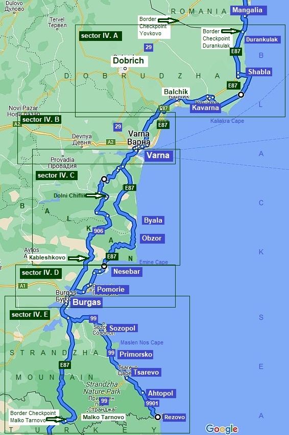
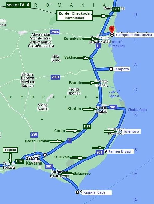
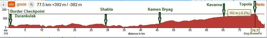
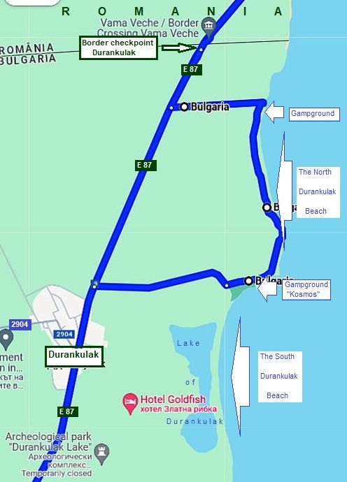
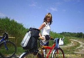
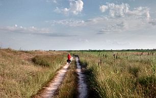
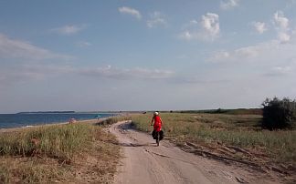
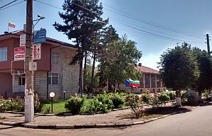
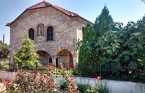
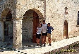
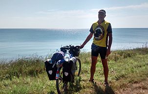
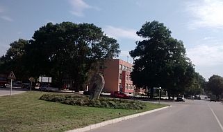
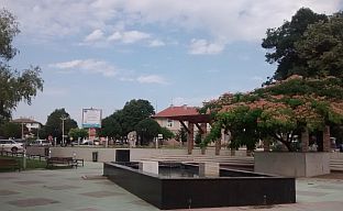
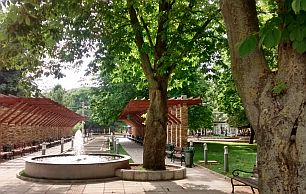
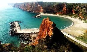
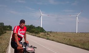
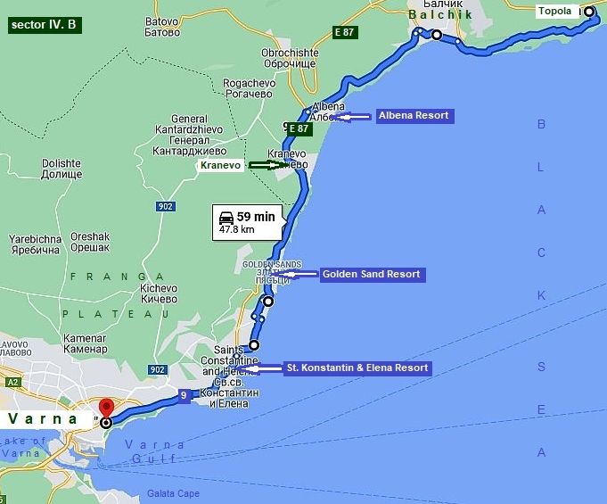
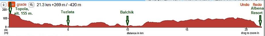
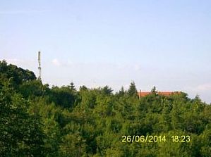
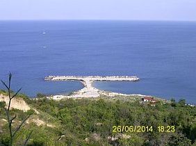
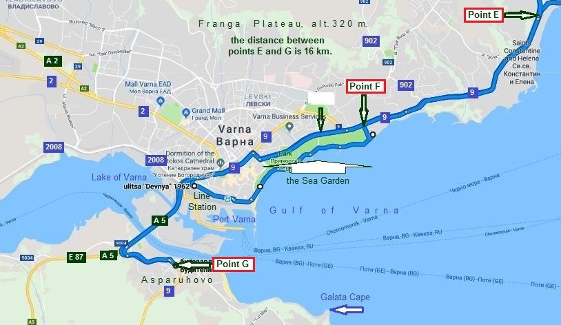
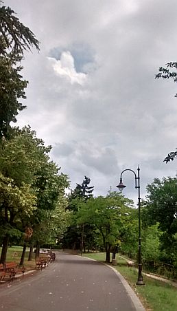
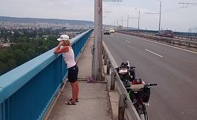
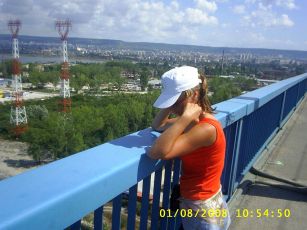
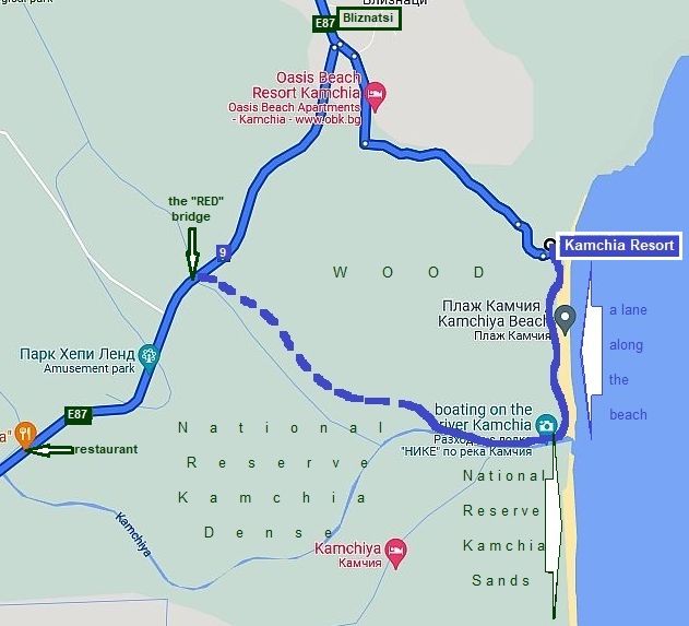
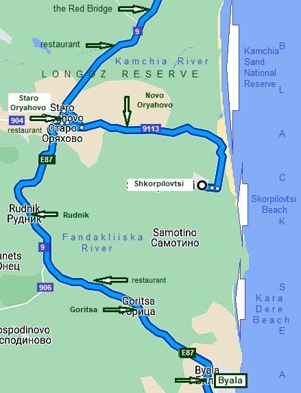
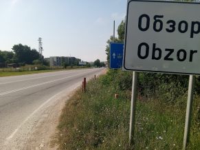
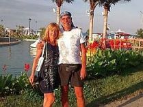
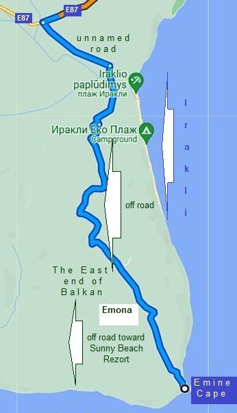
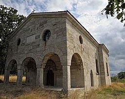
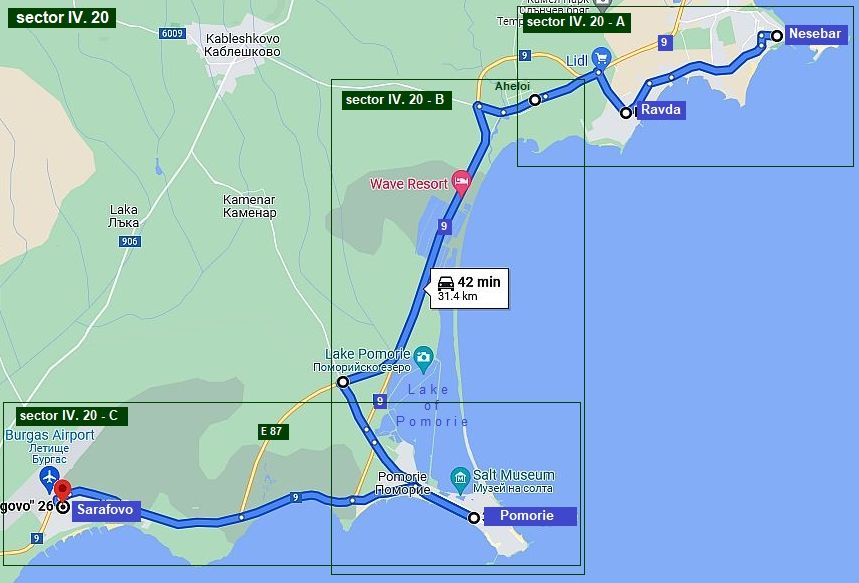
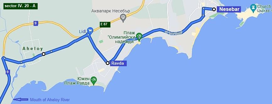
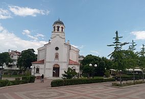
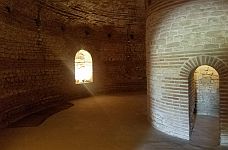
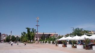
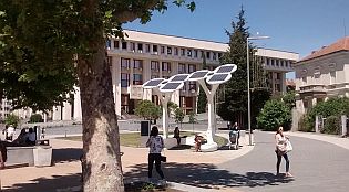
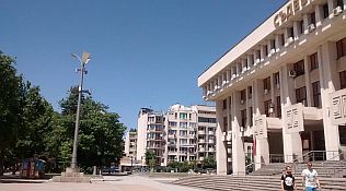
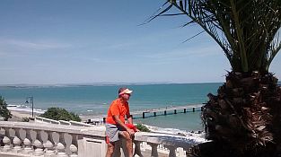
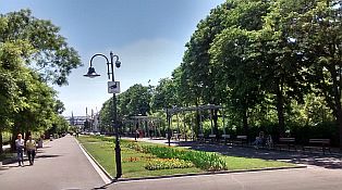
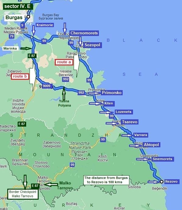
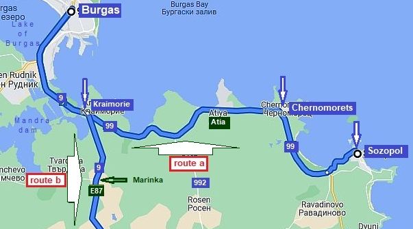
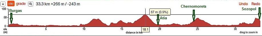
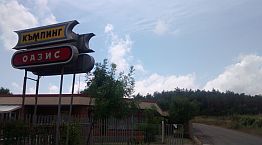
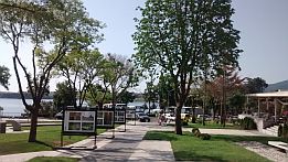
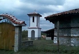
IV. BLACK SEASIDE
|
||
|
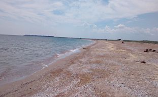
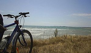
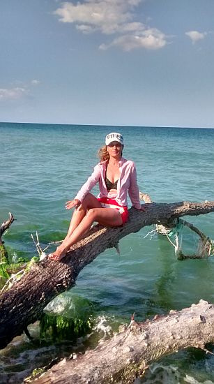
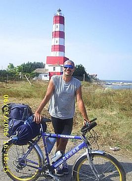
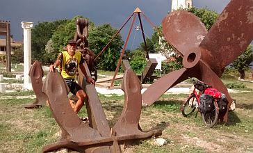
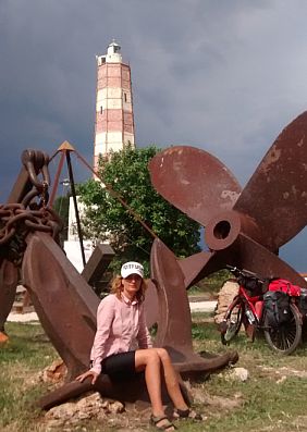
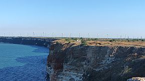
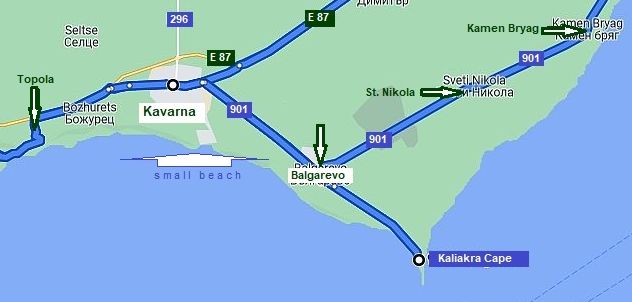
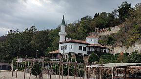
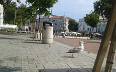
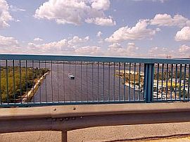
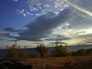
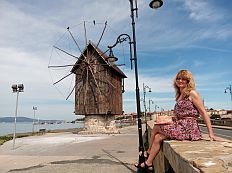
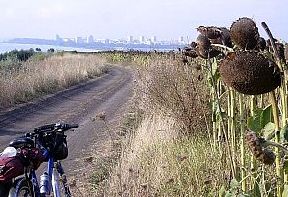
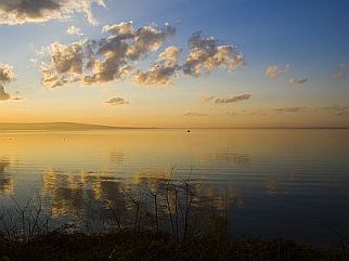
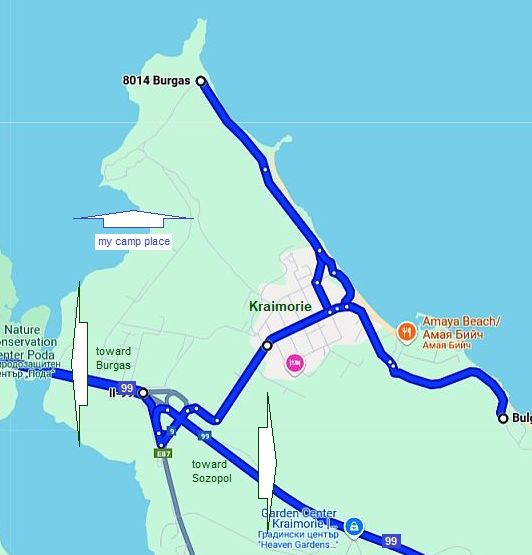
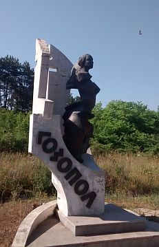
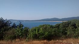
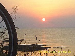
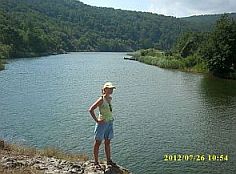
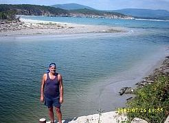
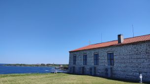
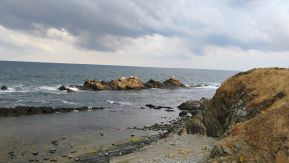
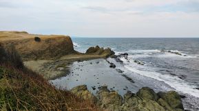
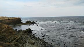
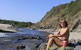
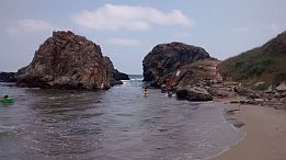
BLACK SEA |
||
|
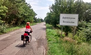
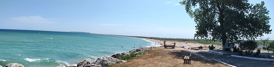
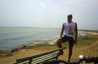
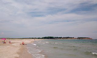
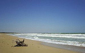
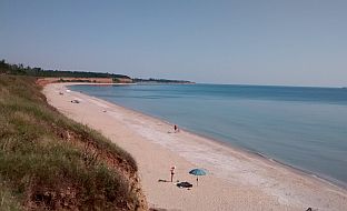
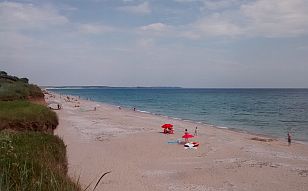
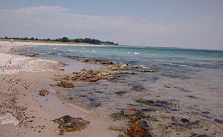
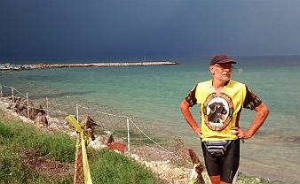
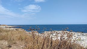
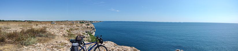
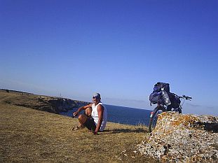
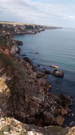
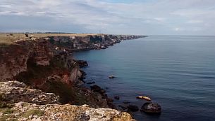
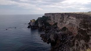
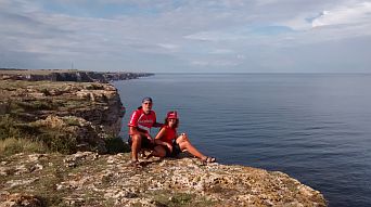
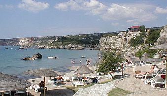
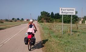
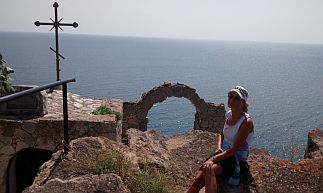
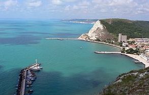
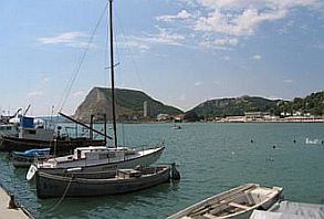
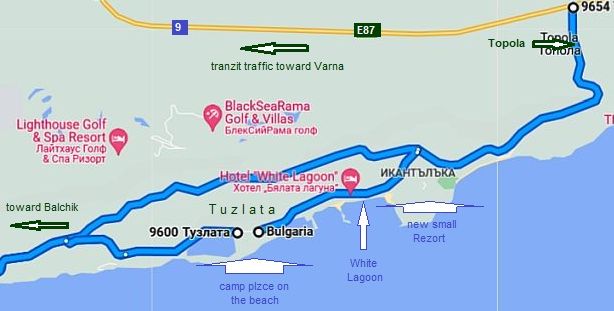
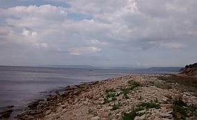
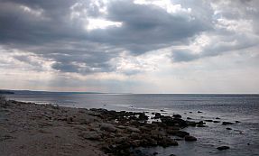
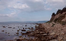
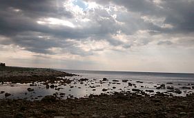
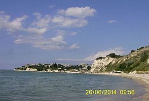
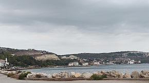
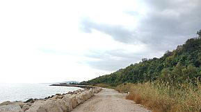
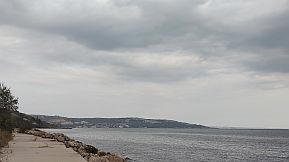
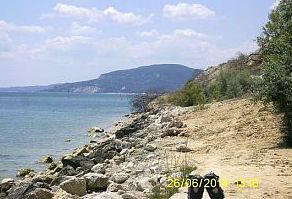
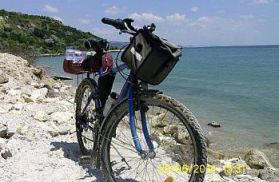
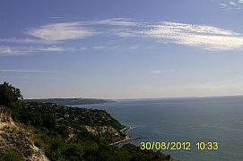
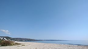
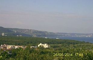
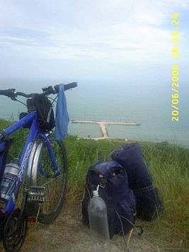
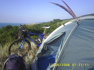
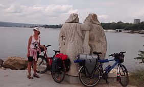
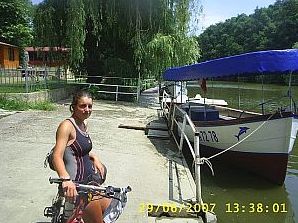
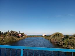
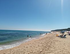
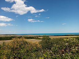
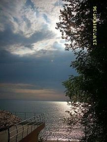
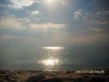
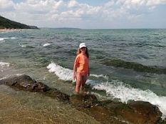
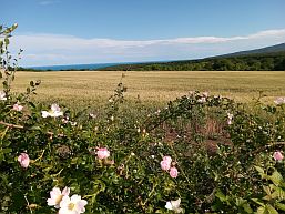
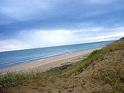
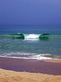
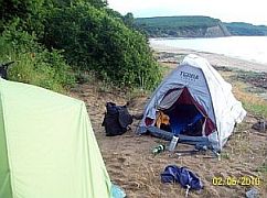
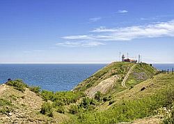
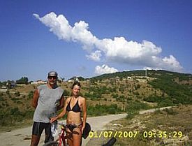
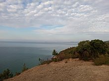
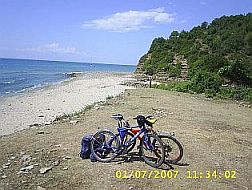
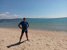
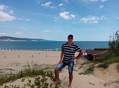
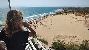
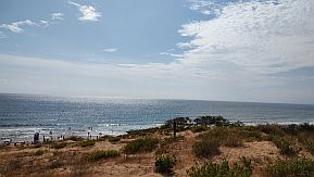
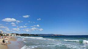
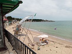
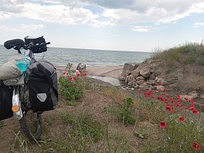
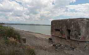
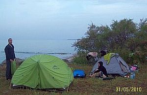
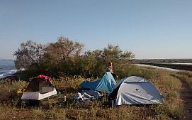
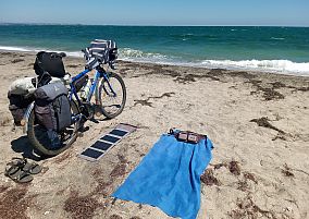
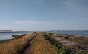
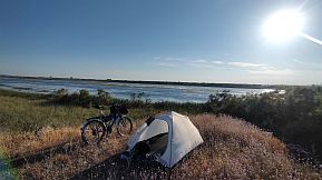
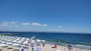
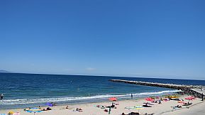
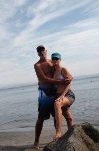
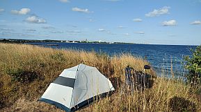
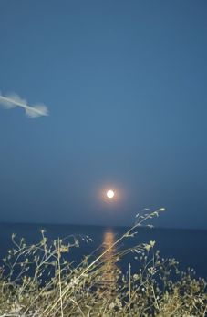
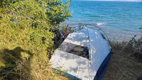
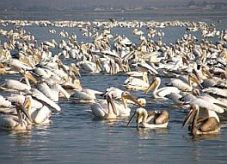
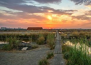
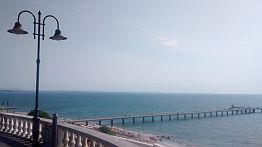
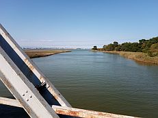
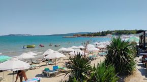
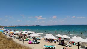
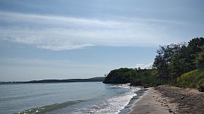
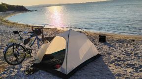
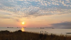
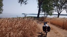
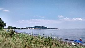
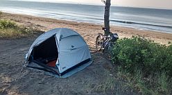
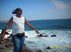
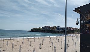
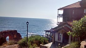
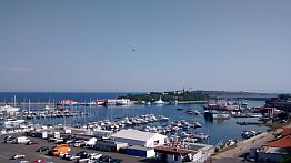
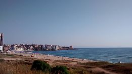
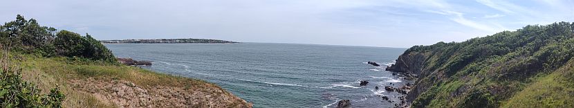
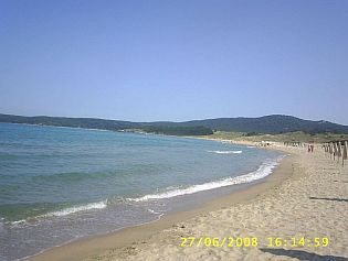
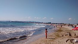
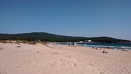
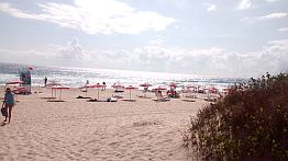
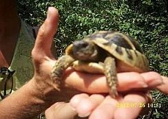
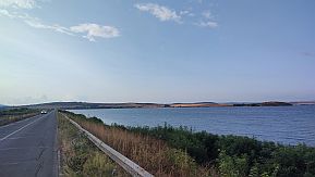
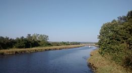
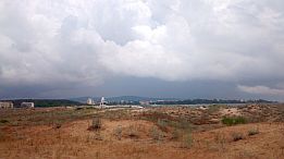
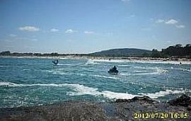
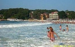
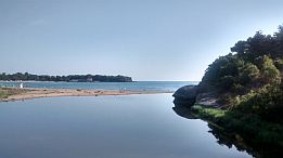
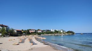
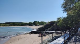
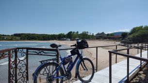
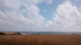
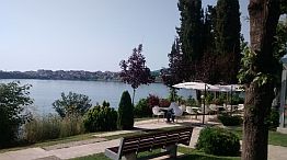
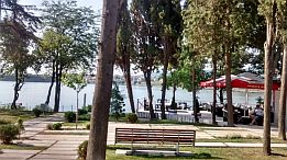
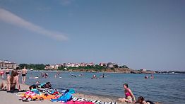
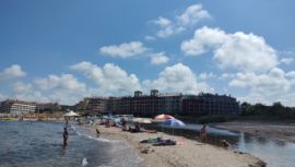
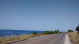
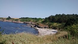
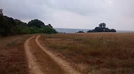
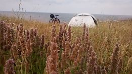
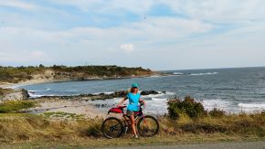
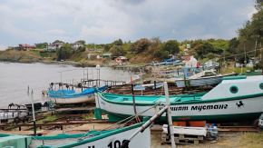
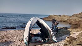
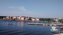
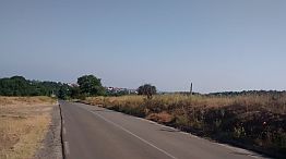
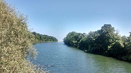
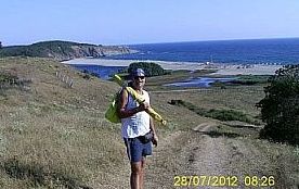
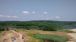
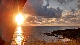
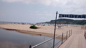
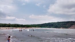
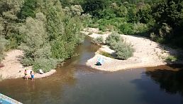
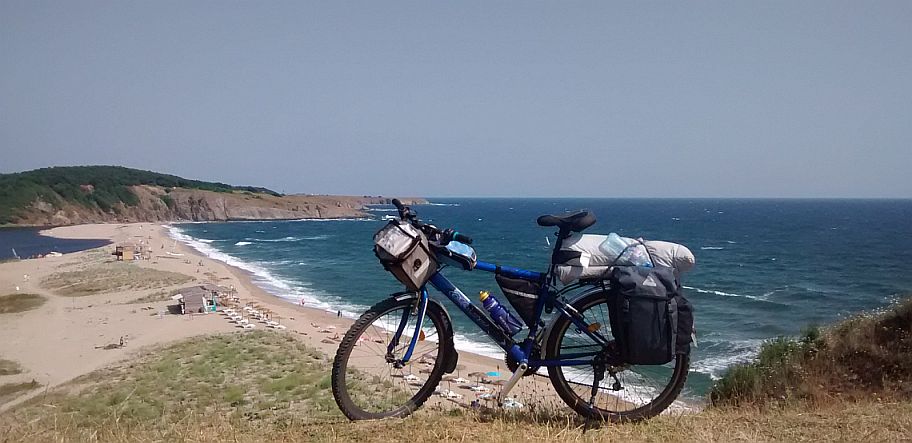
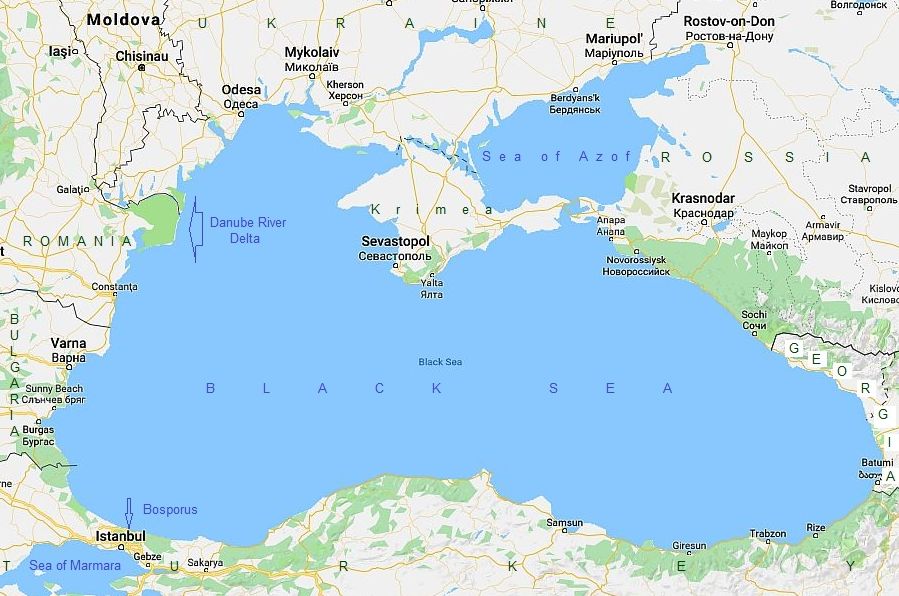
The Black sea is an unique area. It is almost isolated from the worlds oceans by 2 narrow channels: the Bosporus and the Dardanelles. The salt concentration in the water is 18/1000, which is 2 times less than concentration in other seas and oceans, making the waters very pleasant to swim in. Eighty – 100 meters below the sea surface water contents SH2. Only anaerobic forms live in these sea depths. Industrial fishing in the sea finished in the end of sixties of the last century – citizen of the countries surrounding Black sea ate all the fish in the sea. |
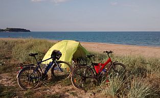
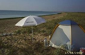
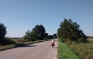
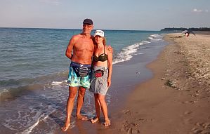
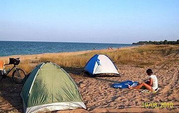
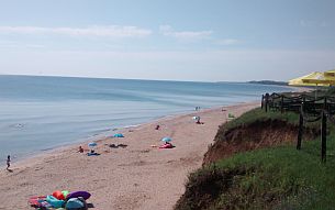
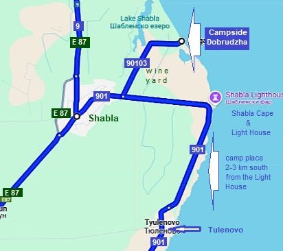
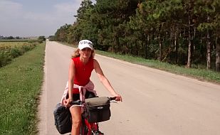
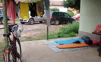
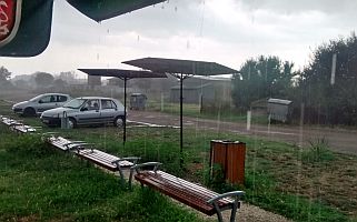
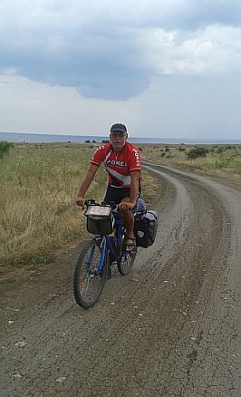
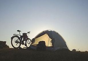
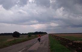
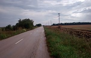
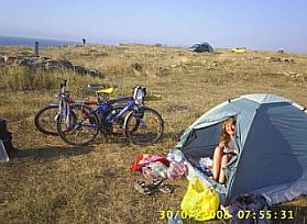
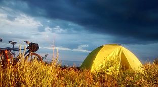
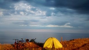
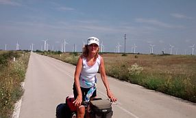
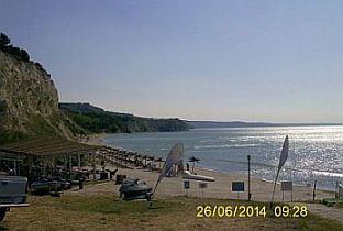
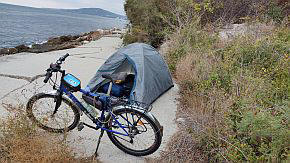
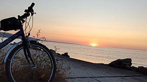
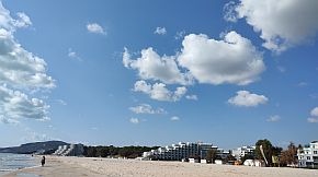
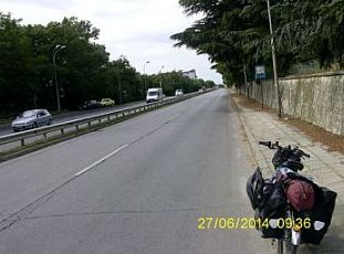
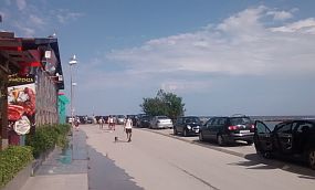
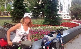
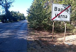
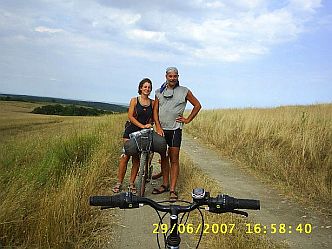
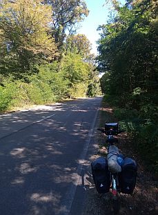
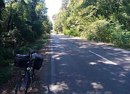
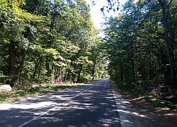
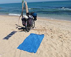
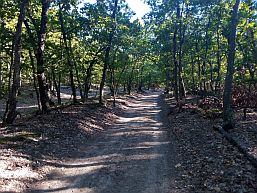
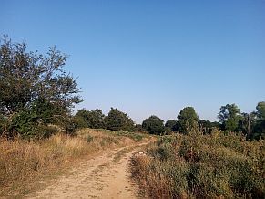
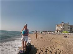
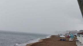
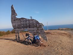
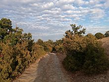
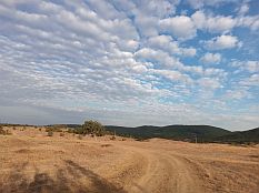
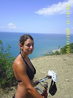
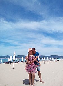
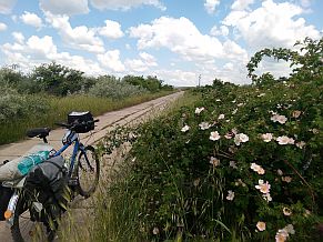
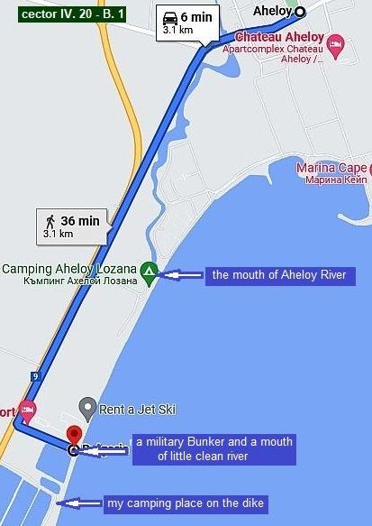
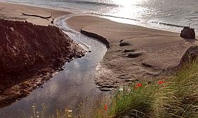
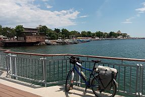
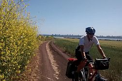
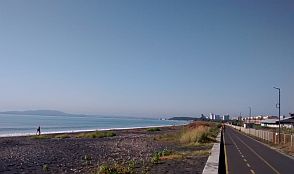
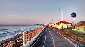
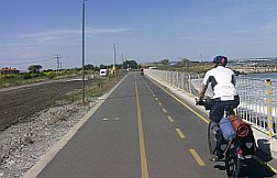
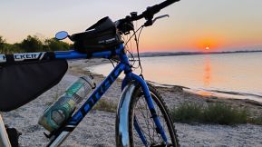
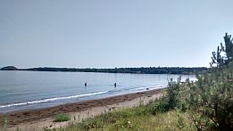
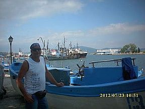
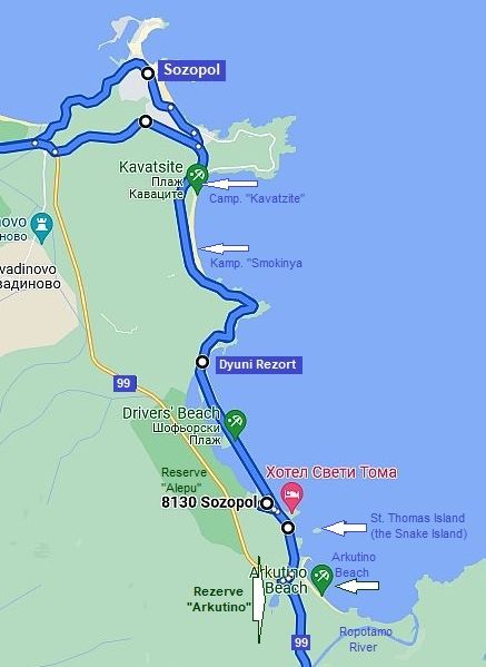
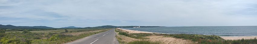
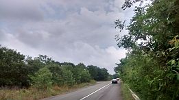
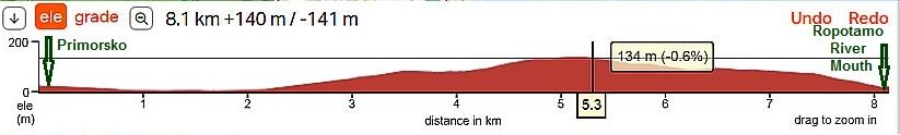
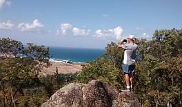
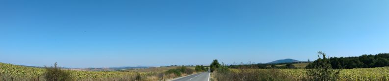
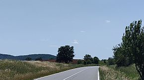
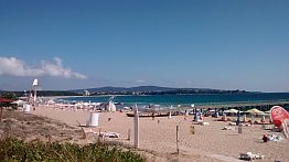
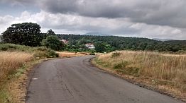
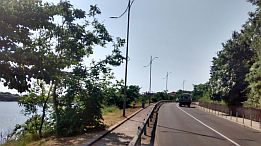
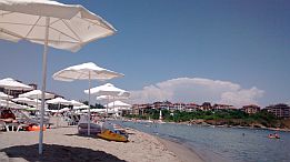
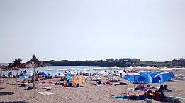
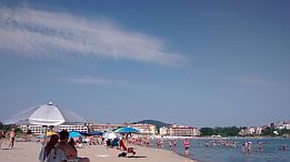
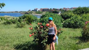
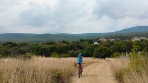
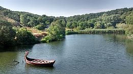
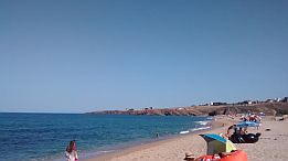
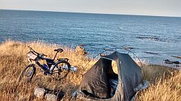
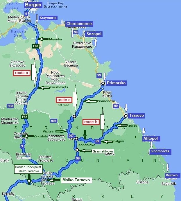
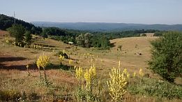
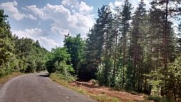
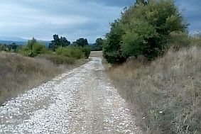
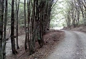
The best period for touring the coastline is between June and August, although September and a parts of October offer good touring, too. Water temperatures June thru August often are 25 – 27 deg. above freezing. Typically, anywhere along the Black Sea coastline, it is windy, especially in its northern segment, with prevailing winds are from the northeast. Interesting information for the Black sea can be seen here: |
|
 |
||
|
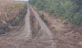
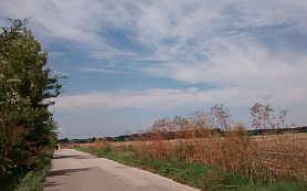
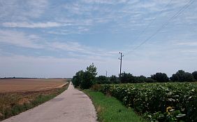
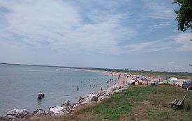
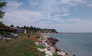
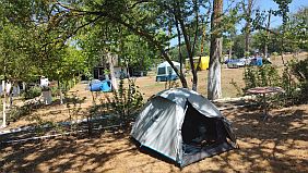
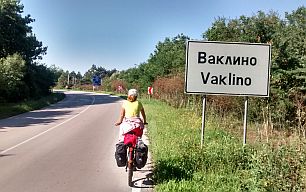
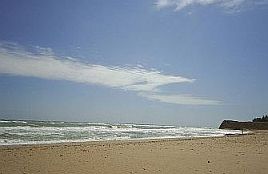
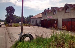
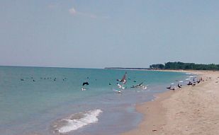
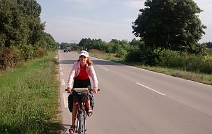
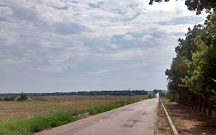
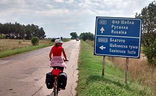
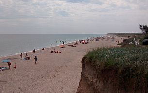
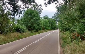
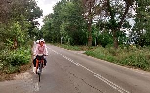
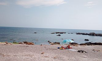
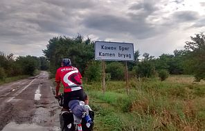
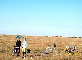
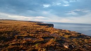
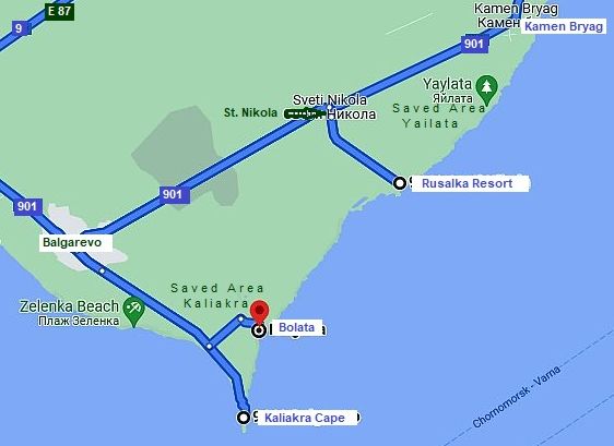
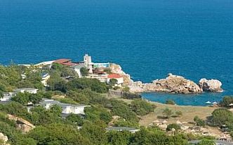
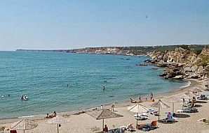
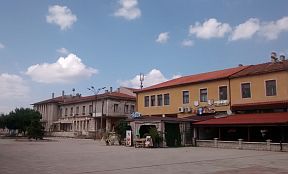
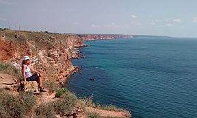
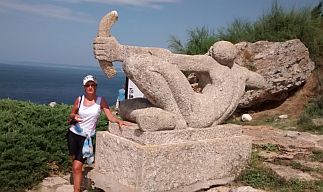
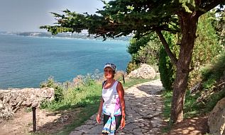
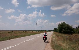
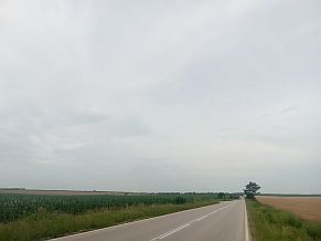
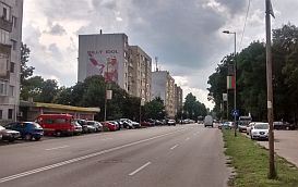
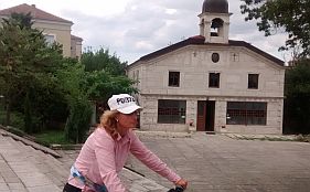
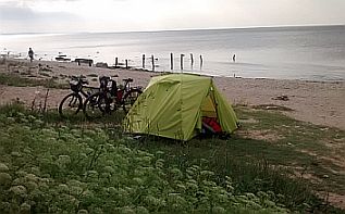
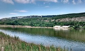
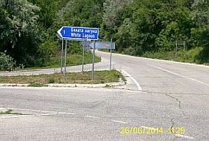
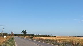
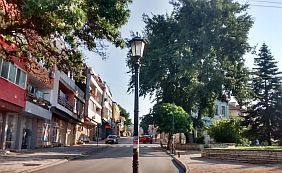
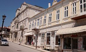
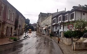
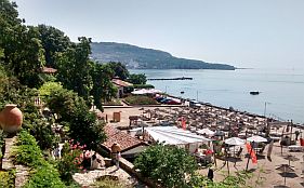
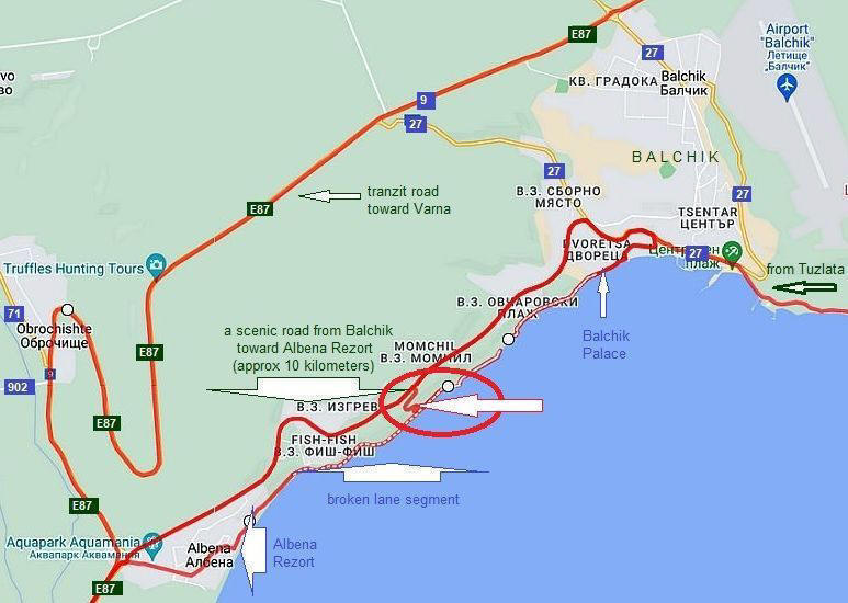
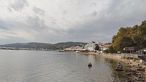
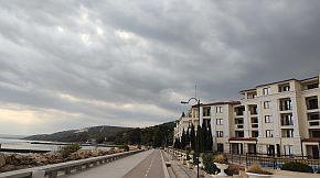
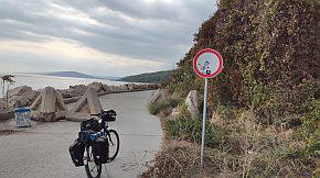
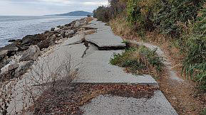
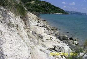
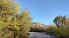
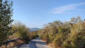
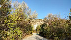
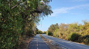
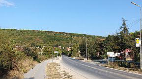
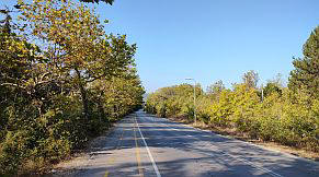
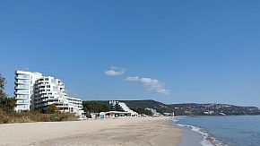
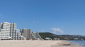
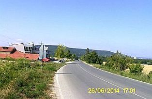
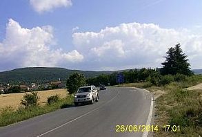
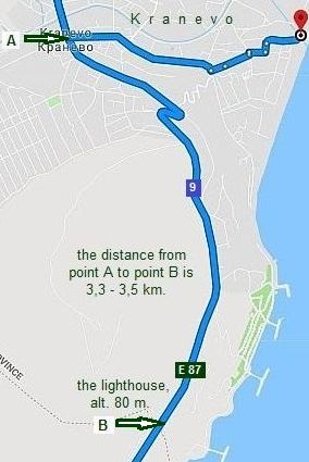
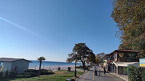
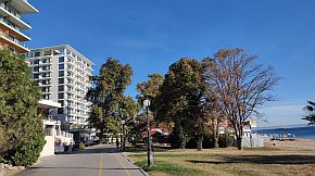
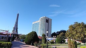
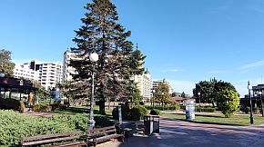
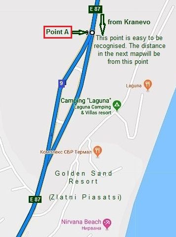
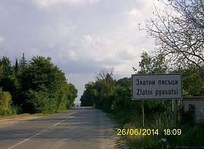
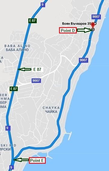
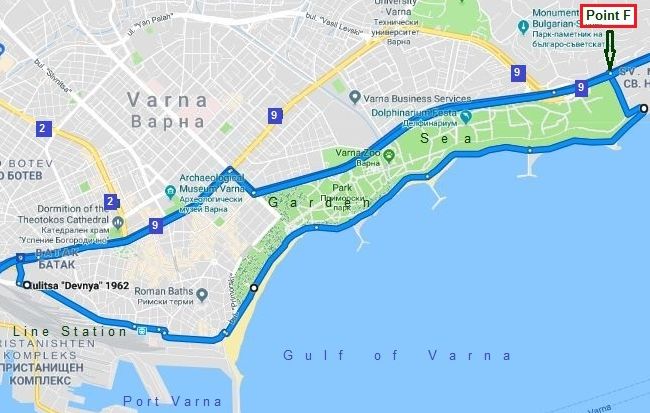
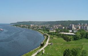
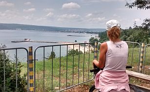
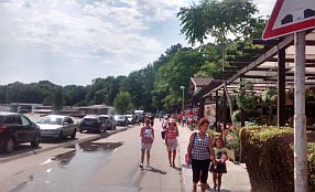
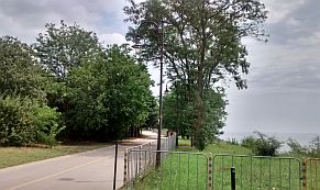
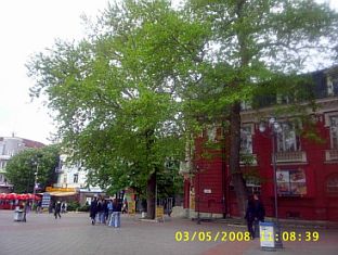
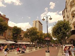
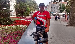
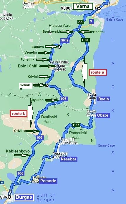
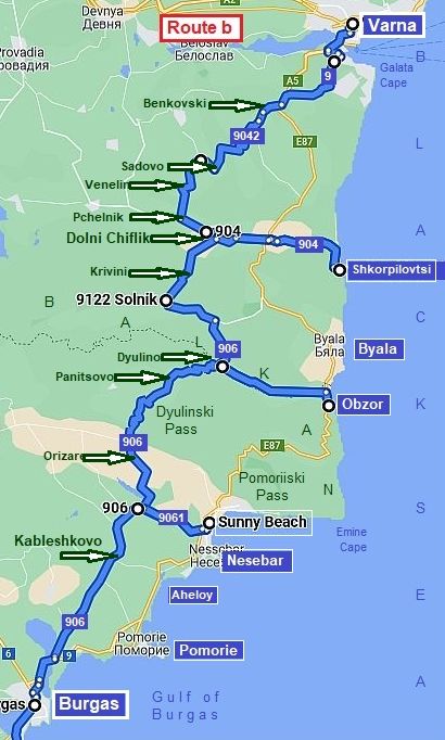
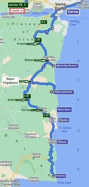
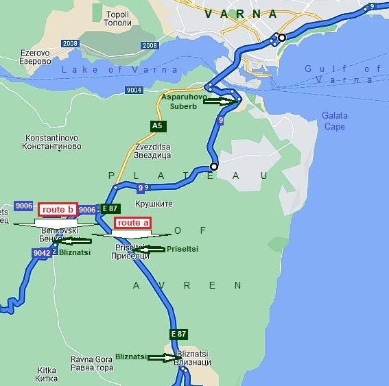
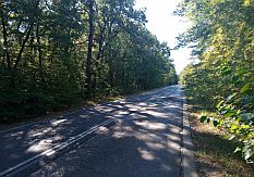
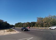
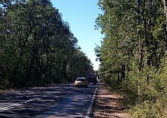
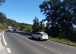
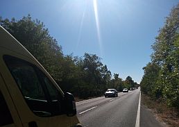
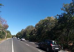
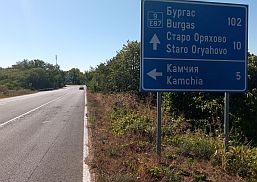
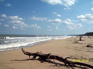
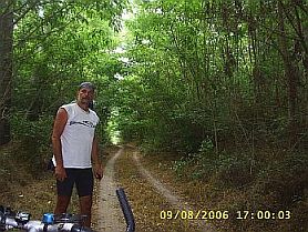
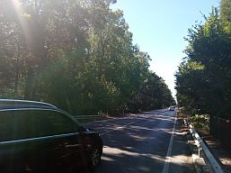
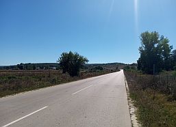
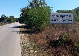
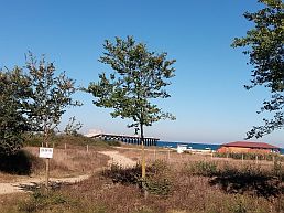
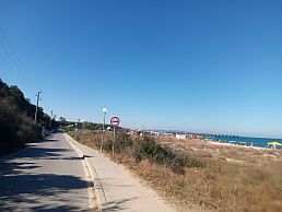
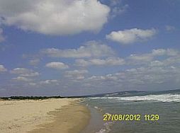
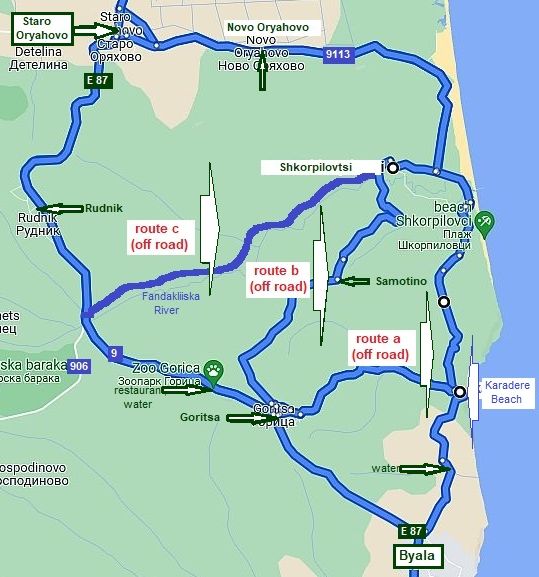
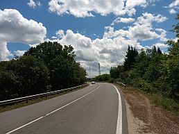
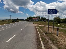
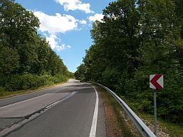
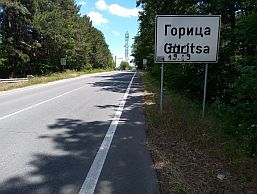
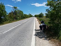
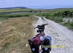
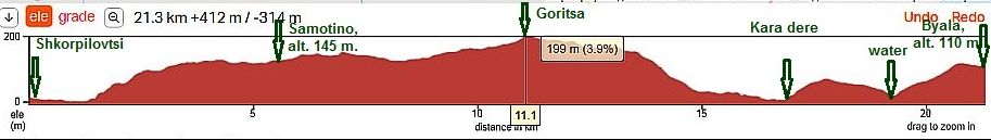
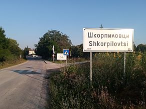
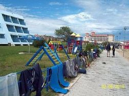
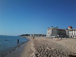
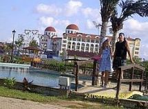
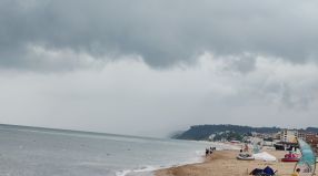
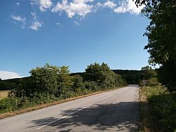
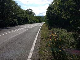
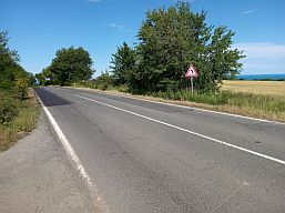
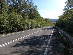
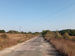
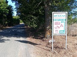
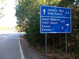
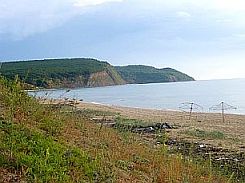
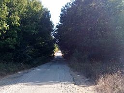
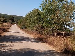
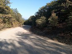
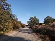
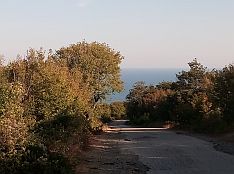
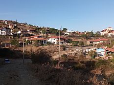
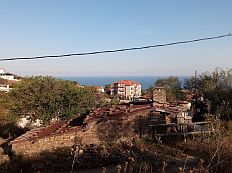
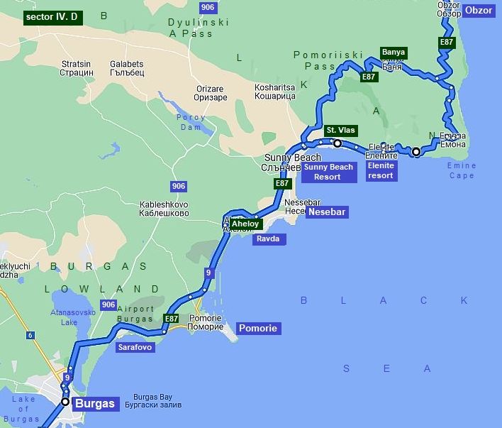
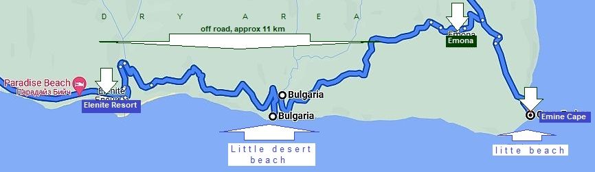
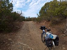
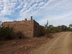
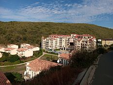
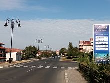
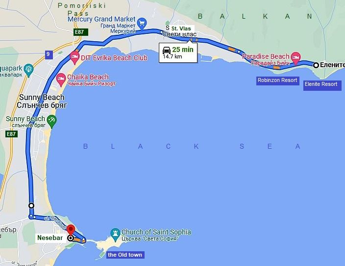
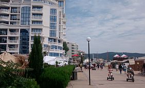
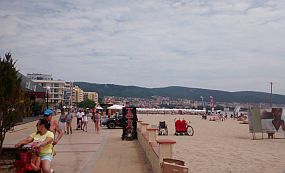
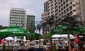
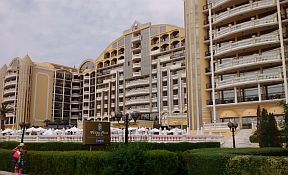
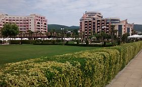
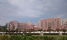
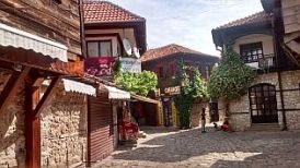
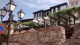
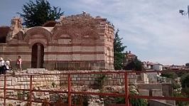
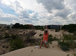
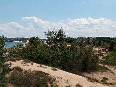
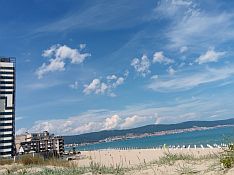
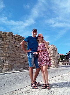
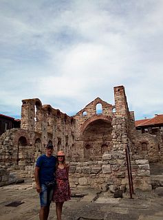
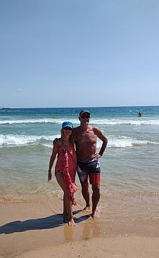
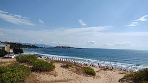
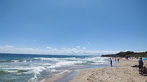
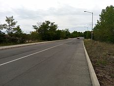
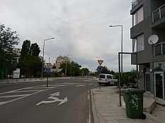
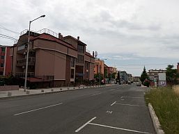
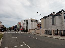
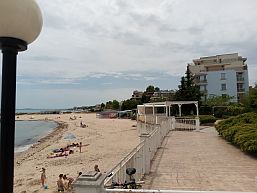
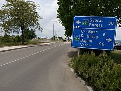
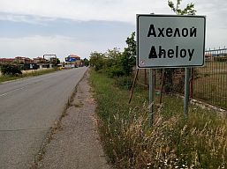
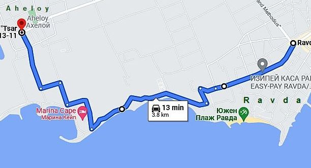
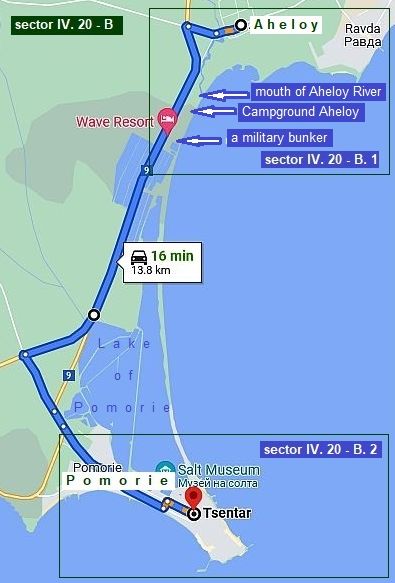
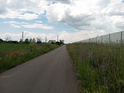
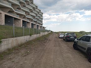
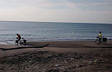
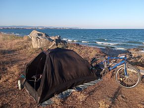
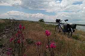
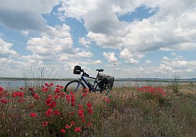
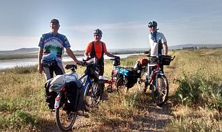
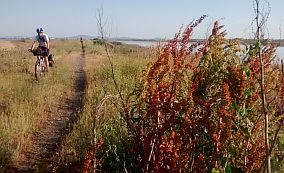
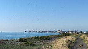
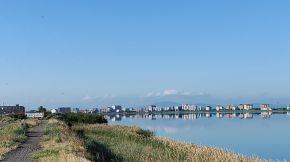
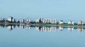
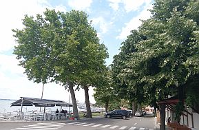
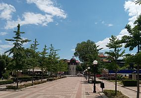
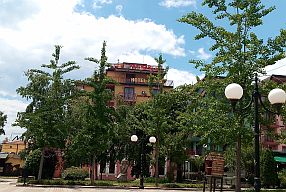
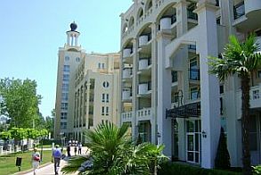
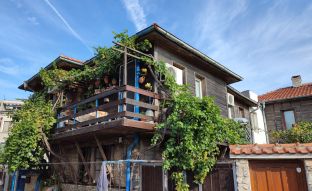
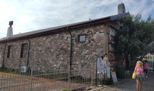
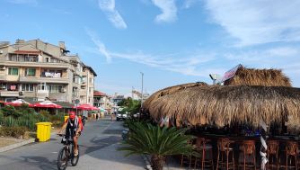
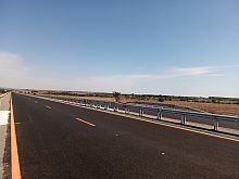
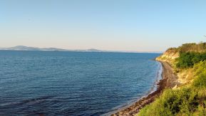
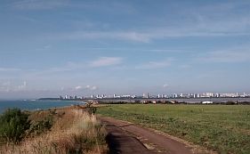
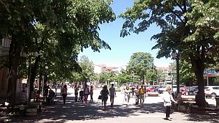
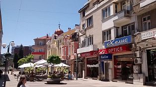
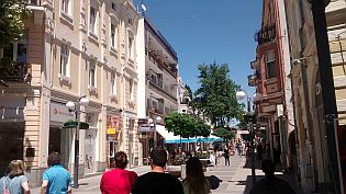
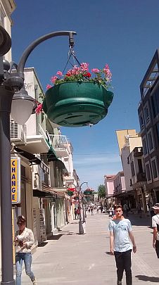
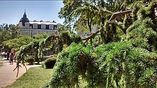
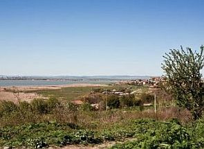
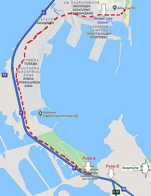
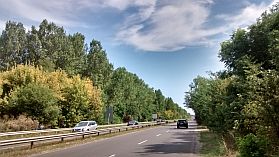
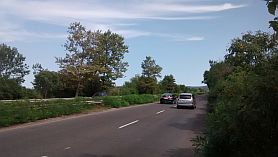
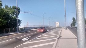
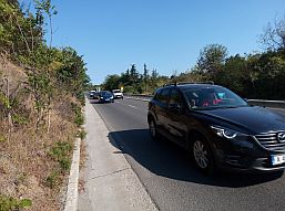
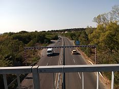
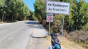
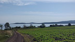
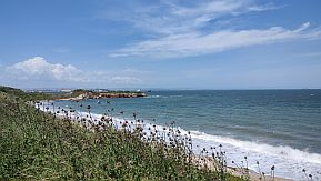
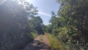
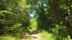
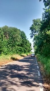
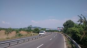
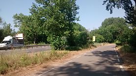
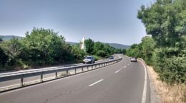
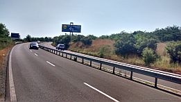
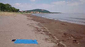
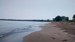
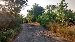
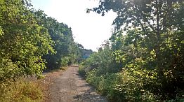
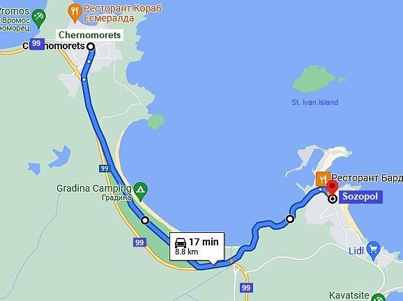
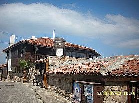
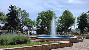
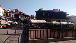
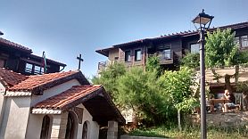
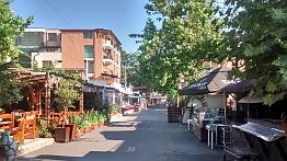
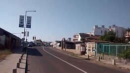
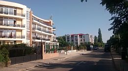
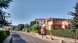
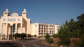
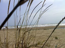
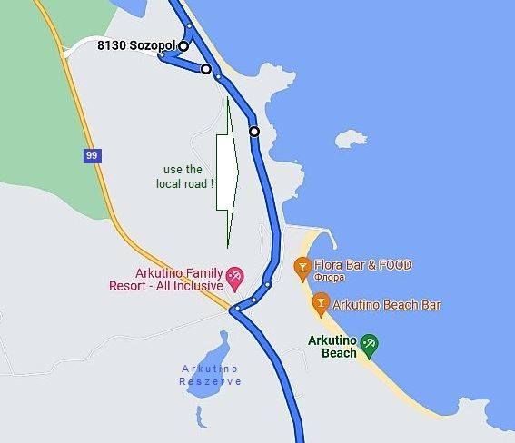
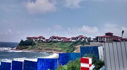
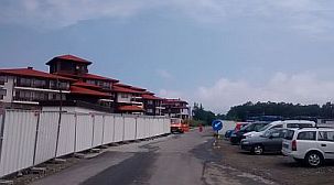
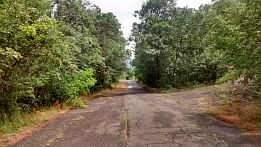
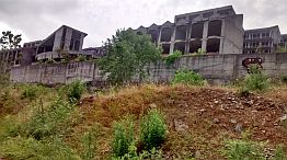
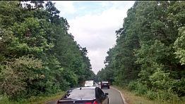
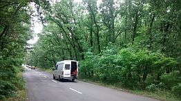
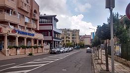
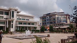
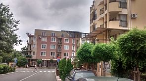
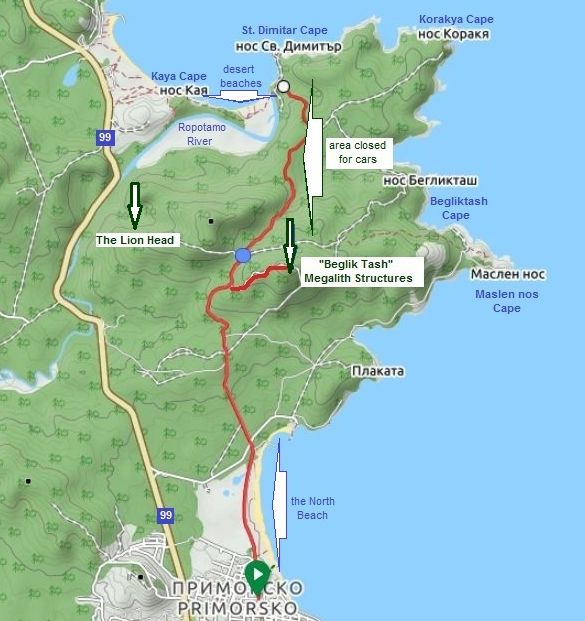
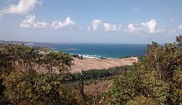
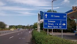
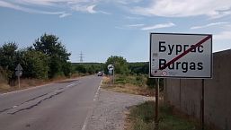
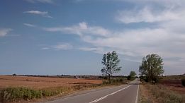
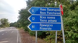
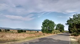
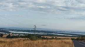
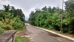
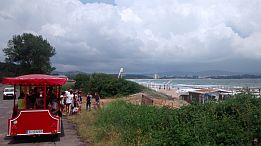
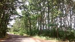
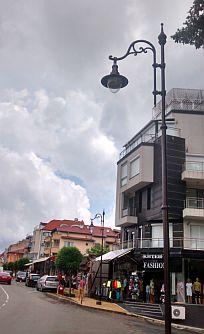
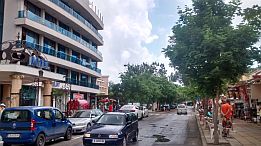
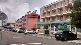
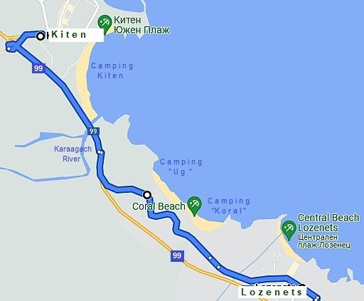
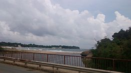
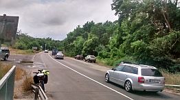
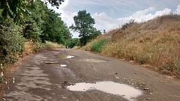
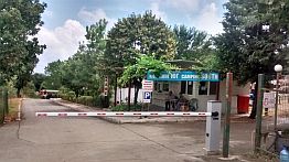
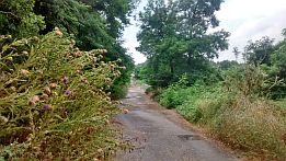
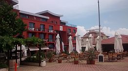
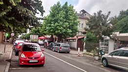
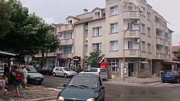
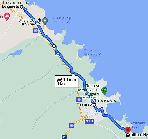
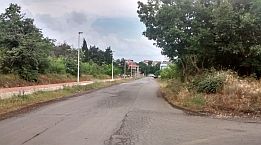
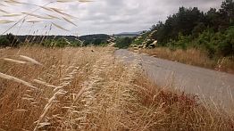
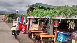
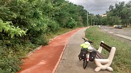
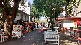
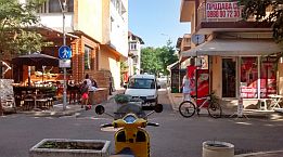
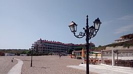
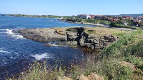
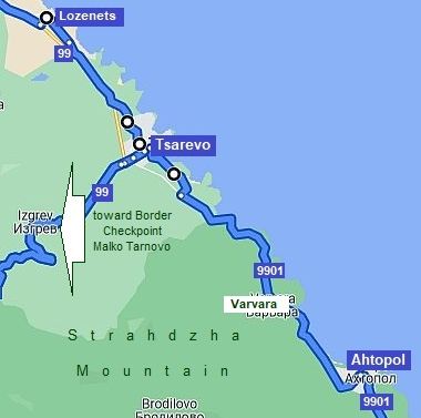
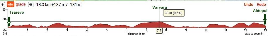
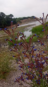
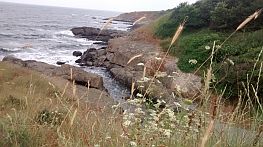
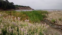
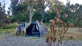
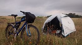
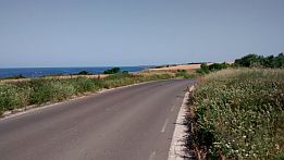
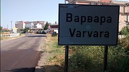
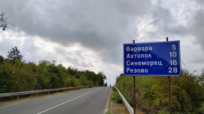
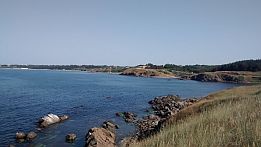
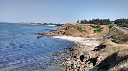
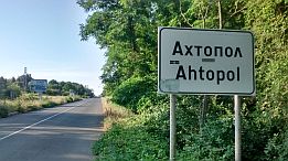
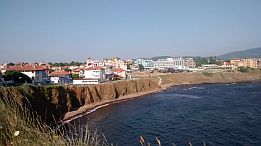
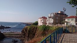
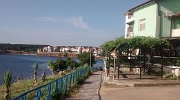
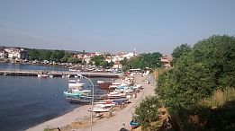
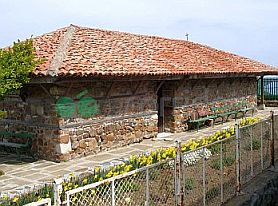
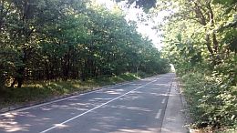
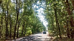
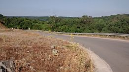
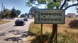
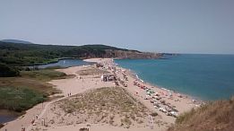
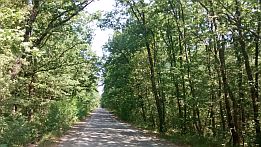
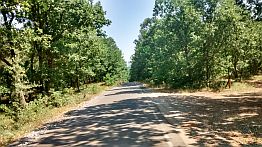
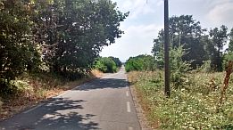
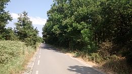
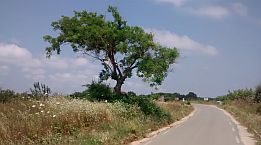
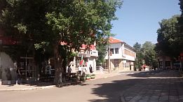
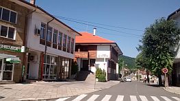
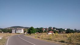
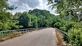
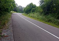
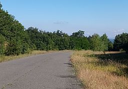
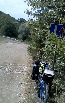
The Black Sea coastline used to be a beautiful area. In the last 2 decades many new resorts and hotels have been built along the shoreline. The shoreline is now covered with concrete, resorts, and overcrowded with tourists, especially July and August. The traffic on the road from Romanian border south to |
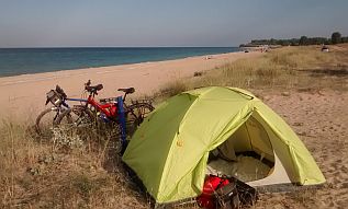
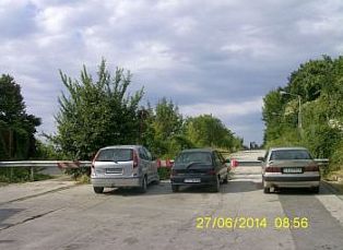
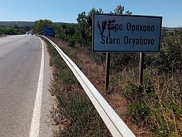
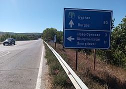
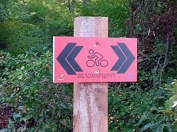
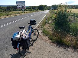
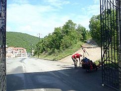
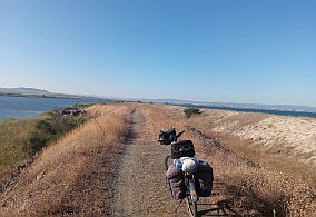
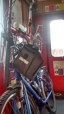
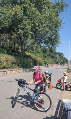
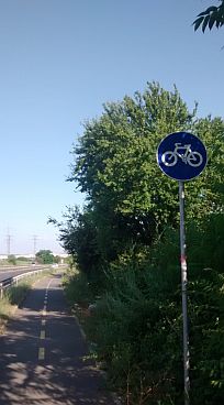
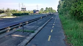
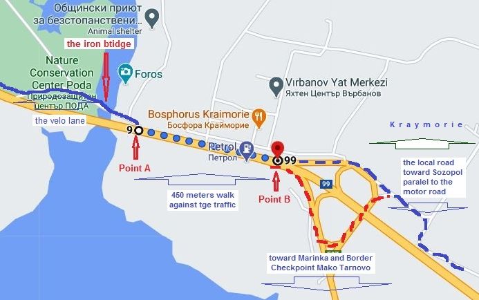
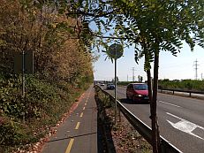
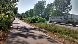
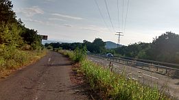
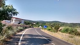
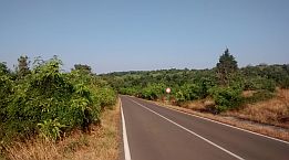
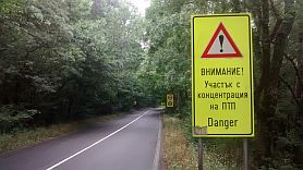
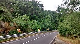
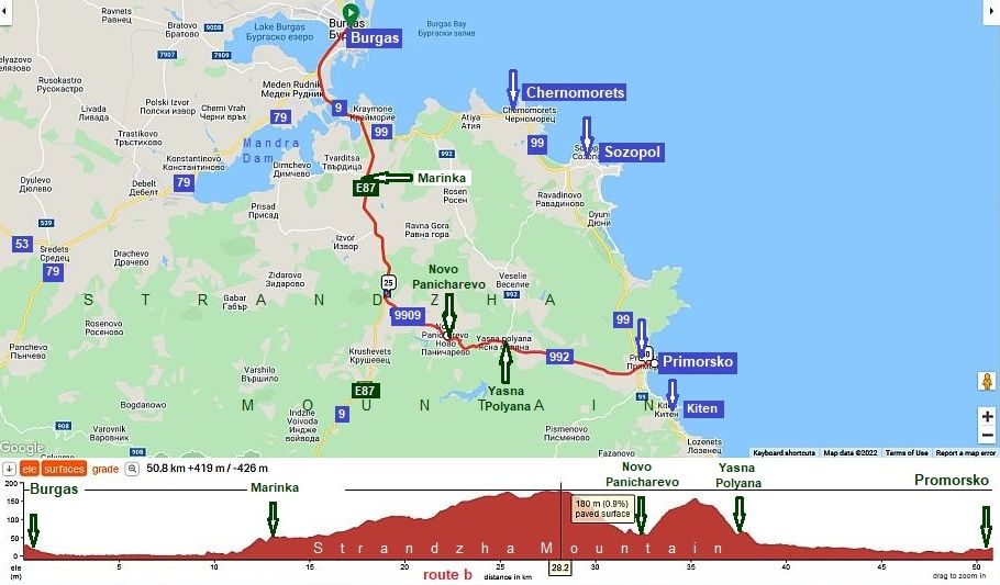
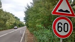
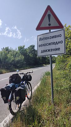
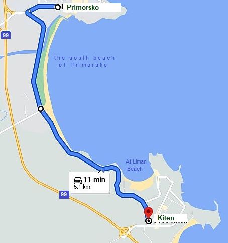
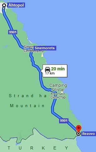
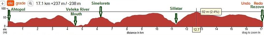
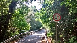
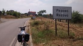
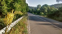
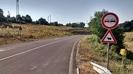
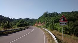
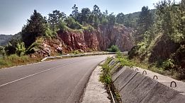
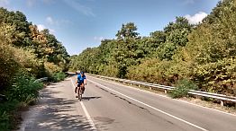
Ahtopol is terrible in the tourist season. There are many narrow roads, drivers drive madly, and often multiple car accidents happen. The road between Varna and Burgas is signed as forbidden for bicycling. Although if you decide to tour there, nobody will stop you to do it. |
|