|
|
||
.jpg) |
|
.jpg) |
|
|
||
|
|
||
.jpg) |
|
.jpg) |
|
|
||
|
VI. Routes: A. From Sofia to Burgas |
||
|
Many bicyclists visiting Bulgaria after landing in Sofia, or entering in Bulgaria, intend to visit the Black Sea side. Two are the most popular destination: - from Sofia to Burgas; - from Sofia to Varna. Further in my description in this Chapter I will give routes from Sofia toward Burgas which avoid the intensive |
traffic as much as possible. It is important because the traffic along the main roads is especially intensive in the touristy period in July and August. I have pedal this route many times, but most of the photos I put here were taken in my 6 day trip I did in the early May 2019. |
|
|
|
||
|
One of the best routes from Sofia to Burgas in the both directions is the road N6 (E871) placed between Balkan and Sredna Gora Mountains. A part of it: from Sofia to the Pentacle (look in the map above) can be used as the shortest route towards Varna as well, take a look in: Chapter VI. Crossing Bulgaria from west to east. Routes: The route from Sofia to Sliven is in a mountainous area, but the terrain is relatively easy to be bicycled, the scenery |
|
is more than beautiful, places for camp in the wilderness are available everywhere (near very nice mountain rivers). Overnight accommodation is available everywhere along the route as well . It is the shortest distance between Sofia and Burgas - approx 390 km. A more intensive traffic is near Kazanlak and along the road segment from Sliven to Burgas, where I will describe an additional route (from Sliven to Yambol to Burgas). |
|
|
||
|
The route in my next description in this is: From Sofia to Pirdop to Karlovo to Kazanlak to Sliven to the Pentacle to Karnobat to Aytos to Burgas; |
To avoid the traffic from Sliven to Burgas, further in my description I will give an alternative: from Sliven to Yambol to Burgas (sector VI. A - 8). |
| Content: | ||
|
1. Sector VI. A - 1: From Sofia to Mirkovo; 2. Sector VI. A - 2: From Mirhovo to Karnare; 3. Sector VI. A - 3: From Karnare to Pavel Banya; 4. Sector VI. A - 4: From Pavel Banya to Nikolaevo; 5. Sector VI. A - 5: From Nikolaevo to Sliven; |
6. Sector VI. A - 6: From Slivem to Aytos; 7. Sector VI. A - 7: From Aytos to to Burgas; (and Sunny Beach Resort); 8. Sector VI. A - 8: From Sliven to Yambol to Burgas; 9. From Burgas to Burgas Airport . |
|
|
1. Sector VI. A - 1 From Sofia to Mirkovo From Sofia to Dolni Bogrov to Sarantsi to Dolno Kamartsi to Galabets Pass to Chelopech to Mirkovo.
|
|
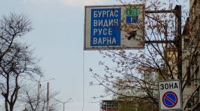
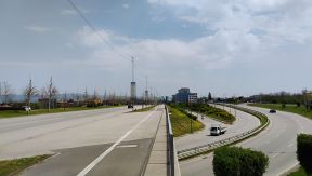
To leave Sofia, you have to follow Boul. "Botevgradsko Shose". (POINTS 8 & 9 on the map below). Look in: 1. 1. Leaving Sofia (see also the Chapter IX. |
How to enter/leave Sofia by bicycle Never mind the traffic here is intensive, the boulevard is not dangerous for pedalling except the crossroad of roads 18 & A6, A2, 6, where you have to be careful. |
|
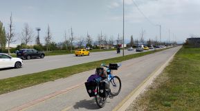
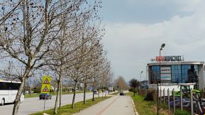
Never mind the traffic along it is intensive, the boulevard is not dangerous for pedaling except the crossroad of roads 18 & A6, A2, 6, where you have to be careful.Photos of "Botevgradsko Shose" Str. There is a velo lane to Sofia ring 18. Photos of "Botevgradsko Shose" Str. there is a velo lane to Sofia ring 18. |
 |
 |
 |
 |
A nice view toward
Vitosha Mountain is in tour right - it is especially spectacular in the
early spring, when it is still covered by snow.
|
 |
 |
 |
|
 |
 |
|
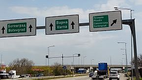
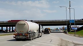
Reaching the Sofia ring, you have to be careful: the crossroad of roads 18 & A6, A2, 6. I point the two dangerous places on the map. Because the traffic is intensive, my suggestion is to walk here, at least I always do it here. |
Grooves of heavy trucks printed on the asphalt are available too, which make the pedaling just here even more dangerous. Unfortunately this road can not be avoided. Entsring Sofia along E871 (1) , you must follow road 1. |
|
|
 |
 |
 |
|
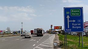
Look for the fuel station, head to it to find that I point as an unnamed road - it is important ! The scale is increased one more time.
|
 |
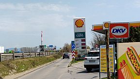 |
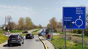 |
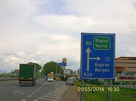
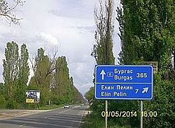
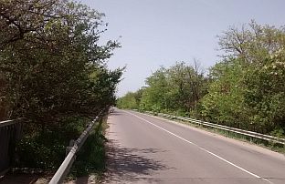
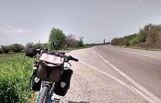
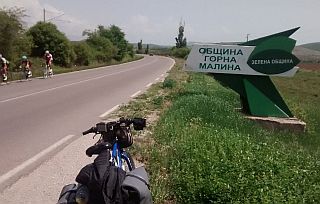
| Once leaving Sofia (after Sofia Ring and unnamed road) you have only to follow signs toward Burgas, the road is signed very well. And here is maybe the most tedious road | segment - you are still in the Field of Sofia - a flat straight road. On the map above I have pointed restaurants: "R ", which are available along the road. Several photos of this area: |
 |
 |
 |
 |
 |
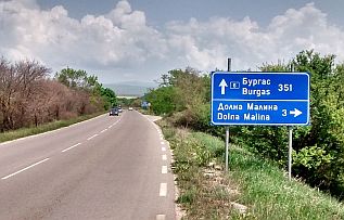 |
| After the crossroad toward Gorna Malina you will enter in the mountain area. Here are 2 hills (no longer than | 1 - 2 kilometers each) having slopes of 10%, although the last time I explored this area the signs were not available. |
|
|
|
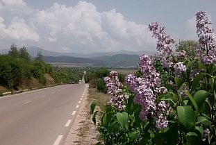 |
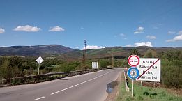
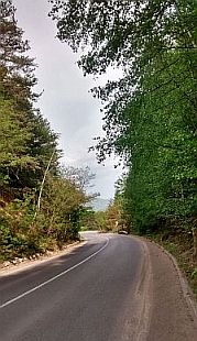
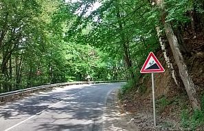
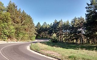
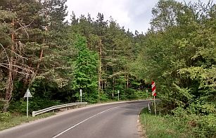
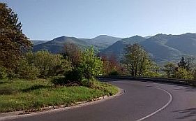
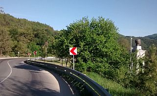
| A longer hill called Galabets Pass you will find out east from Dolno Kamartsi, the slope up here is permanent - 8%; if you pedal the opposite direction the hill is longer and steeper. A restaurant, food shop and coffee are | available in both Sarantsi and Dolno Kamartsi, so you can relax a little before start climbing Galabets Pass. The area is nice for wild camping after overcoming the Pass, down the Pass there are springs of water. |
 |
 |
|
 |
 |
|
 |
 |
|
 |
 |
 |
|
On the map above I have pointed Mirkovo: |
At the crossroad toward the village there is a sign for a hotel and restaurant available in it. I did not visited it. |
|
|
|
||
|
2. Sector VI. A - 2 From Mirkovo to Karnare
A more detail map of the Sector VI. A - 2. The route is: From the crossroad toward Mirkovo to Chelopech to Zlatitsa to Pirdop to Anton to Koznitsa Pass to Rozino to Karnare.
|
||
|
Again it is perfect for bicycling road segment – maybe it is the most scenery road segment. Here is the longest hill along the route from Sofia to Burgas: the pass between Balkan and Sredna Gora Mountain called Koznitsa Pass. As it can be seen from the next road profile chart, |
|
starting from Pirdop up to Koznitsa Pass the altitude difference is a little more than 400 meters. The climbing from west to east is much easier than from east to west, where climbing is almost 13 kilometers long beginning just after Rozino, where more than 130 meters difference in the altitudes is added. |
 |
||
|
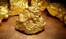
The next village along the road is Chelopech, known with the gold factory of Canadian Dundee Precious Metals. The region here is a golden one - the first photo below shows gold specimens just from this region. |
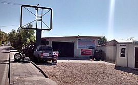
Leaving Chelopech (east from it) you will see a little work shop for car servicing and tire replacement; it is the place if you need some technical assistance or inner tube sealing. | |
 |
 |
 |
|
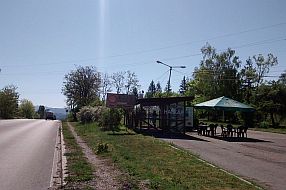
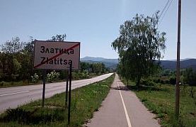
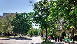
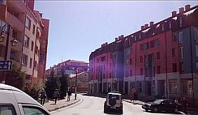
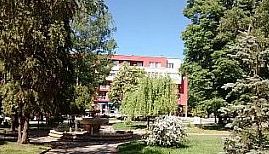
Next two little towns along your route are Zlatitsa and Pirdop. Food, coffee, overnight accommodations is available in both of them. Information for Zlatitsa: |
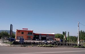
Leaving Zlatitsa (east from it) you will see a little work shop for tire replacement too; again, if you need some technical assistance or tube sealing it is the place. A little restaurant is available along the road here. |
 |
 |
 |
|
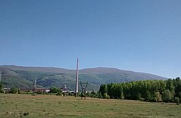
Here is even a velo lane between Pirdop and Zlatitsa, between them is placed a huge factory for electrolyte cupper. |
||
 |
 |
 |
 |
 |
 |
|
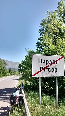
The climbing of Koznitsa Pass starts just after leaving of Pirdop. Several kilometers up the Pass you will see restaurant and guest house - it is just next to Antonovo - the place is signed well, it is nice for relax. |
|
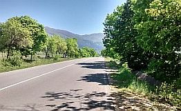
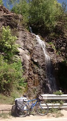
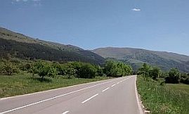
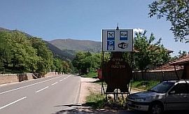
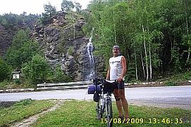
Pedaling further, you will enjoy of the beautiful scenery: the Balkan is at your left, Sredna Gora Mountain - at your right. A beautiful waterfall is near the road, for bicyclists loving wilderness it is an appropriate place to have a shower. |
 |
 |
 |
 |
||
 |
||
 |
 |
 |
|
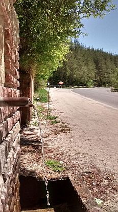
Two kilometers to the divide there is water spring, near it usually there is people selling home prepared jam and honey. Once reaching the divide, you will enjoy of a |
|
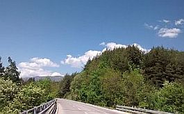
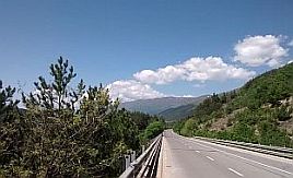
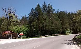
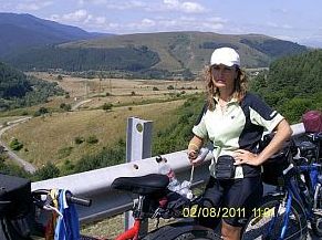
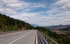
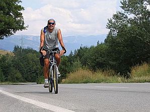
great 12 - 13 kms downhill pedalling. In the middle of the hill from Rozino to Koznitsa Pass there is a nice motel, a kilometer down toward Klisura. |
 |
 |
|
 |
 |
|
 |
 |
|
 |
 |
 |
|
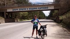
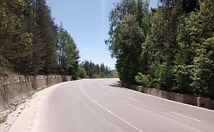
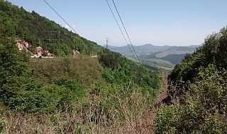
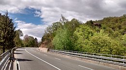
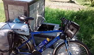
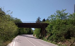
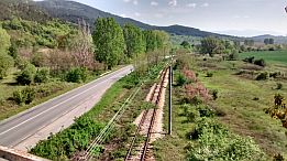
If you climb from the opposite direction, have in mind that a mile after the railway bridge (the last photo below) |
|
there are 3 springs of drinkable water. Further, pedaling up the pass, there will be no more water to the divide. |
 |
 |
 |
|
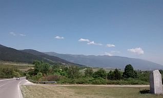
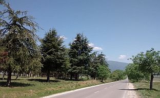
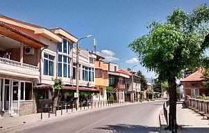
Next photos are the countryside toward Rozino. |
||
 |
 |
 |
|
|
There is a restaurant in Karnare, in the village you can supply with food and water. Overnight accommodation is available in it as well; on a pole you can see a sign "Hostel". it is 200 - 300 meters after the crossroad toward Troyan (toward Troyanski Pass or Beklemeto, road N 35). |
|
|
|
|
|
|
|
||
|
٭Opportunities: Sector VI. A - 2. a I want to mention here two opportunities: 1. Off road avoiding E871; 2. To visit Koprivstitsa City (road 806) 1. Off road avoiding E871; Near Anton there is a possibility for off road: of first you have to enter in the village, after the off road will lead you again to the main road E871 after 10 – 11 kilometers. I love this place! The altitude gain for the distance is approx 200 m., the road slope is not steep and permanent. |
||
|
|
|
|
|
|
||
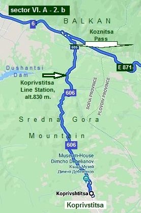 |
Sector VI. A - 2. b 2. To visit Koprivstitsa City
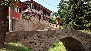
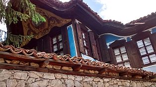
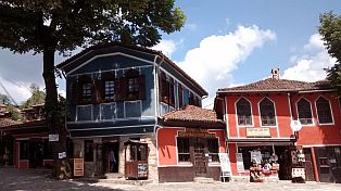
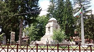
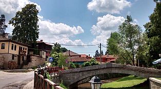
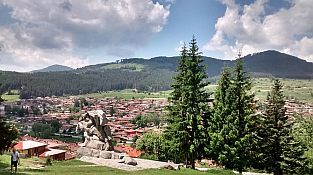
If you have more time, my suggestion is to visit Koprivstitsa (road N 606) – to the left after Anton, just at the end of the off road I have shown above. https://en.wikipedia.org/wiki/Koprivshtitsa https://www.visitbulgaria.net/en/ koprivshtitsa/koprivshtitsa.html
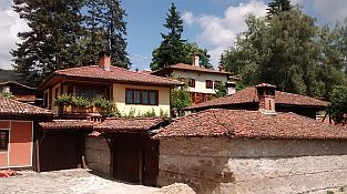
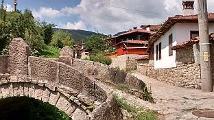
The place is connected with our history, the architecture from XIX century can be seen, and there are many small private hotels and local type restaurants. |
|
|
|
|
|
 |
||
| Road toward Koprivstitsa is signed well (road N 606); next several photos are from this area. | ||
|
|
|
|
|
|
|
 |
 |
 |
 |
 |
||
 |
||
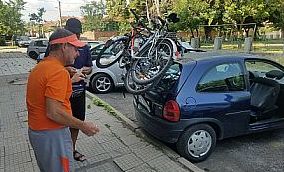 |
Several photos from
Koprivstitsa
|
 |
 |
 |
|
 |
 |
|
 |
 |
 |
|
|
||
|
3. Sector VI. A - 3: From Karnare to Pavel Banya A more detail map of the Sector VI. A - 3.
|
|
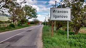
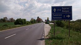
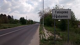
The route is: From Karnare to Iganovo to Anevo to Sopot to Karlovo to Vasil Levski to Kalofer to Manolovo to Gabarevo to the crossroad toward Pavel Banya (road N56). |
|
It is easy and pleasant for pedaling road segment. The higher hill is placed between Vasil Levski (alt. 400 m.) and Kalofer (alt. 640 m.). The climbing here form west to east is harder than the opposite direction. |
|
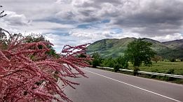
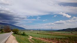
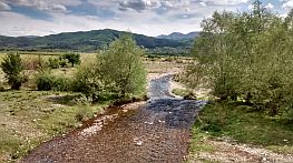
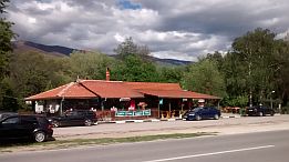
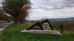
The Next several photos are the countryside from Karnare toward Sopot. |
||
 |
 |
 |
 |
 |
 |
| There are little restaurants along the road, an overnight accommodation is available in Anevo, the place | is labelled near the road - you will see a label written in English and Bulgarian: Hotel Ùåðåâ :)))))))))))))))) |
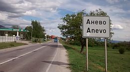 |
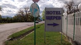 |
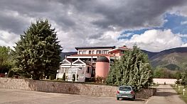 |
|
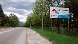
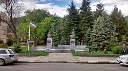
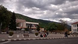
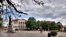
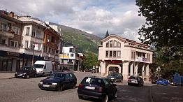
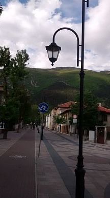
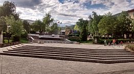
The next two towns Sopot and Karlovo are placed close each other, overnight accommodation is not problem there. A chair type lift is available in Sopot - a sign toward it can be seen just after entering in Sopot (the second photo below). The view from the upper lift station was remarkable, unfortunately it is not in exploitation now. |
If you like paragliding, it is the place to exercise it, you can fly attending by an instructor. Unfortunately their Home page has not an English language version. Information about Sopot is available here:
|
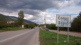 |
 |
 |
 |
 |
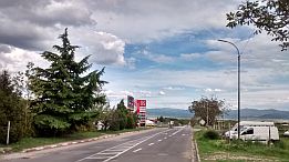 |
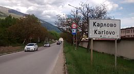
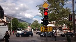
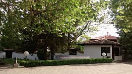
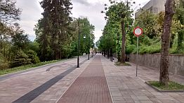
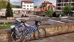
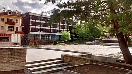
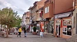
| Comparing with Sopot, Karlovo is a bigger city. Information about Karlovo is available here: |
https://en.wikipedia.org/wiki/Karlovo |
 |
 |
 |
 |
 |
 |
 |
 |
|
 |
 |
|
On the map above I have pointed Banya (road N 64 from Karlovo), which is a SPA center with nice thermal water. It is also appropriate for overnight accommodation - there is a nice hotel and pool of thermal water near it, I can not find photos of this place. |
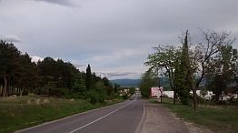
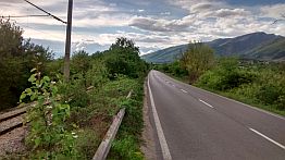
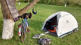
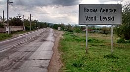
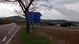
http://www.guide-bulgaria.com/SC/plovdiv/karlovo/banya The next several photos are the countryside toward Vasil Levski. A nice fish restaurant is near the road just after Vasil Levski. |
 |
 |
 |
 |
 |
 |
|
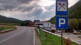
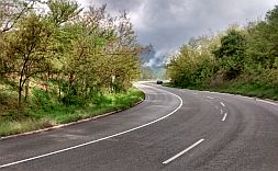
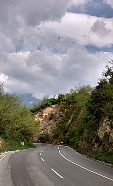
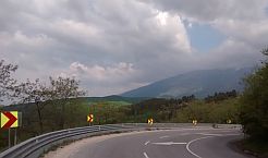
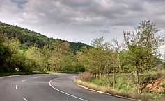
Climbing now. A hill of 5-6 kilometers is toward Kalofer. |
||
 |
 |
 |
 |
 |
|
|
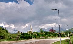
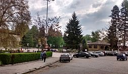
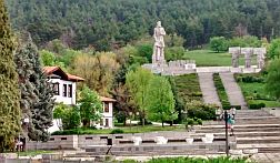
The road surrounds this little town, overnight accommodation is available in it. Information about Kalofer is available here: |
http://www.guide-bulgaria.com/SC/plovdiv/karlovo/kalofer
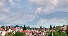
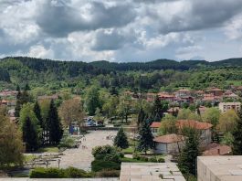
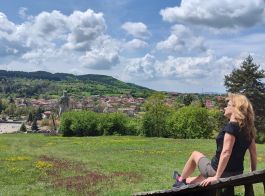
The view toward Balkan here is quite impressive. |
 |
 |
 |
 |
 |
 |
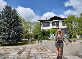 |
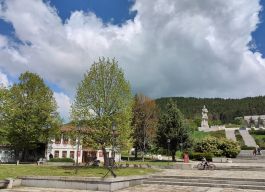
Beautiful April ' 22.
|
 |
 |
 |
|
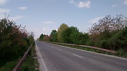
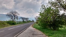
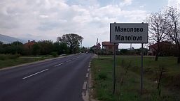
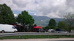
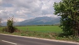
| Well, we will go on toward Manolovo and Gabarevo. | ||
 |
 |
 |
 |
 |
 |
 |
 |
 |
|
|

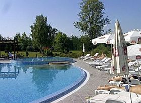
٭An opportunity: It is worth to mention one more spot in the Sector VI. A - 3: Pavel Bunya (Road N 56, two - three kilometers south from road E871: it is a SPA resort, nice hotels and swimming pools of thermal water are available there. You can spend an afternoon and night there.
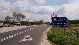
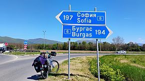
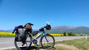
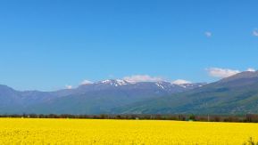
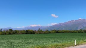
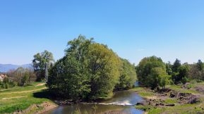
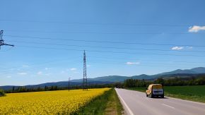
From E871 toward Pavel Banya in the sunny April '25. Photos can not impress the great view toward Balkan Mountains. |
 |
 |
 |
 |
 |
 |
|
Pavel Banya https://www.visitbulgaria.net/en/pavel_banya/pavel_banya.html http://www.guide-bulgaria.com/SE/stara_zagora/pavel_banya/pavel_banya |
||
.jpg) |
.jpg) |
.jpg) |
.jpg) |
.jpg) |
.jpg) |
 |
 |
 |
|
|
||
|
4. Sector VI. A - 4: From Pavel Banya to Nikolaevo
Sector VI. A - 4
|
|
Two routes here are possible: Route a: it is the main road E871; (toward Stara Zagora - road 5; toward Burgas road 6); I do not recommend this route because of the traffic! From the crossroad toward Pavel Banya to Dolno Sahrane (road 6; E871)to Kazanlak to Maglish to Nikolaevo
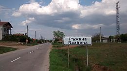
Route b: road N 608 & 5007 - a local road. From the crossroad toward Pavel Banya (road 6; E871)to Dolno Sahrane to Kazanlak (road 608) to Buzovgrad to Rozovo to Razhena to Yagoda (road 5007)to Vetren to Nikolaevo to Gurkovo |
My suggestion is to pedal the second opportunity. You will not regret, the route b is save, there is not any traffic along it, the countryside is beautiful, there are a lot of small villages, food and water is available in all these villages.
In this region the valley between mountains is wider, and as it can be seen from the road profile charts below, all the route is easy for pedalling.
On the map above I have surrounded in green squares Tulovo and Dabovo: Both places are next to rail lines crossing the country from west to east (from Sofia to Burgas) and from north to south (from Ruse to Kardzhali); all the trains are stopping at the both line stations. |
|

|
||
|
The comparison between routes a & b shows almost no difference in the road profile, and no matter the route b is 10 km longer, again I would recommend you to pedal along it. My next description will concern only the Route b. |
|
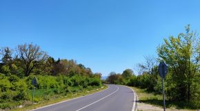
In the fields near Kazanlak are rose plantations; the region is known as the "Rose's field". In the end of May when roses are flowering the fields are amazing. Unfortunately I have never pedal this area in the period rouses are flowering. The next several photos are from the crossroad toward Pavel Banya (road 56) to Kazanlak. |
|
|
|
|
|
|
|
|
|
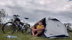
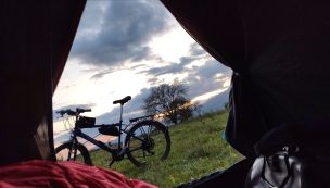
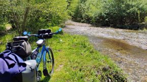
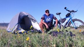
My camp place several kilometers to Kazanlak, early May '22 . . . I can not forget it, it seems I set up my tent next to a fox lair . . . I felt it all the night. |
||
 |
 |
 |
 |
 |
 |
|
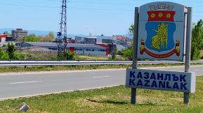
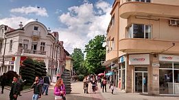
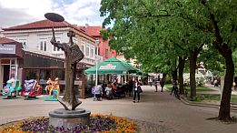
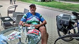
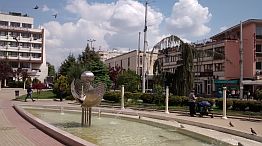
Kazanlak is a middle size town for us, I like it. Information about Kazanlak can be seen here: |
|
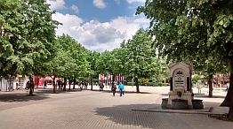
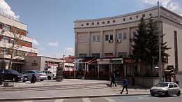
https://bulgariatravel.org/en/the-town-of-kazanlak/ http://www.visitbulgaria.net/en/kazanlak/kazanlak.html Several photos from Kazanlak: |
 |
 |
 |
 |
 |
 |
|
٭Opportunities: |
||
|
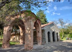
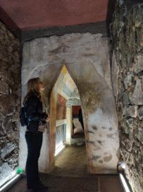
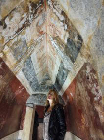
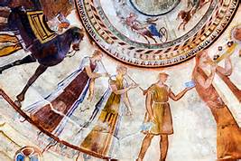
There is an interesting Thracian tomb near Kazanlak, unique frescos can be seen in it, I think it is under UNESCO protection. |
|
It is not possible to visit it, but in the local history museum there is a replica of it. Several times I have mention Thracian in my Home Page, they were the ancient population living in the east part of Balkans, most of all they loved the war, wine and women. |
 |
 |
 |
 |
|
It is interesting to visit and see Roze Museum: |
and the Historic Museum as well: https://bulgariatravel.org/en/historical-museum-of-kazanlak/ |
|
|
|
||
|
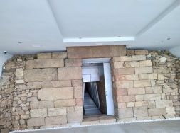
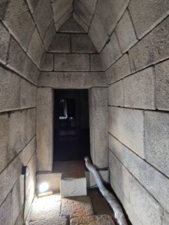
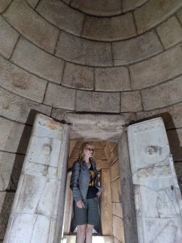
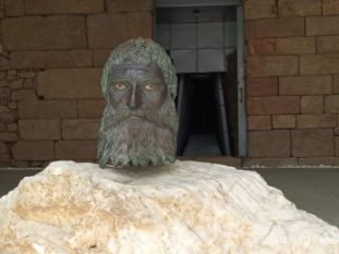
The entire area near Kazanlak is known as a valley of kings. There are a lot interesting places connected with the ancient Thracian History to see here, more details can be found out in the Historis Museum. |
The next photos illustrate details of Seuthes Tomb (I point its location on the map above): |
 |
 |
 |
 |
|
|
||
|
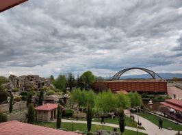
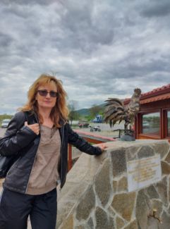
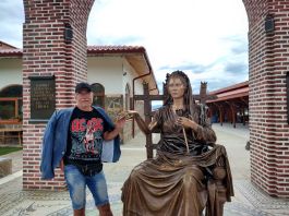
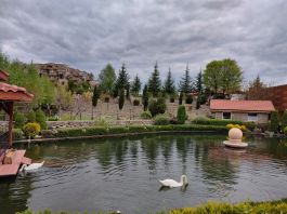
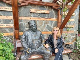
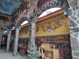
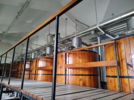
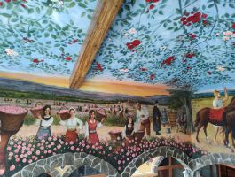
And the last opportunity I mention here is the Ethnographic Complex "Damascena" next to Skobelevo. There ate a lot to see in it - rose oil refinery, perfumery shops, restaurants . . . |
Their home page is beautiful (overnight accommodation in the region is available): |
|
 |
 |
 |
 |
 |
|
 |
 |
 |
|
|
||
Sector VI. A - 4. a
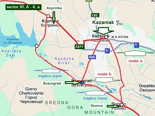
As I have mention, the traffic near Kazanlak: between Koprinka and crossroad toward Stara Zagora (road N5 east from Kazanlak) is relatively intensive. So, you can miss Kazanlak if you follow one of the routes shown in left.
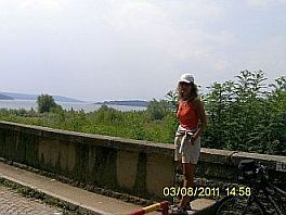
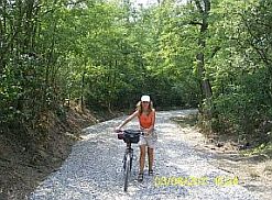
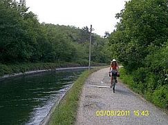
It is possible to head toward Koprinka Dam wall, (the crossroad just before Koprinka) after toward Buzovgrad, but this road is not labelled, nobody to give you an information there; a short segment of the off road (a kilometer, or less) immediately after the dam wall is in very poor condition (the middle photo below).
The road is next to a irrigative channel. |
||
 |
 |
 |
|
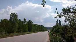
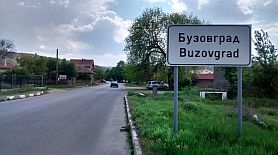
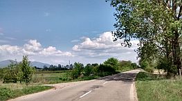
A better variant maybe is to enter in Kazanlak, heading after it toward Buzovgrad to Rozovo to Rozovo (road N 608). |
||
 |
 |
 |
|
And the last opportunity here is from Kazanlak to head toward Rozovo. Approaching Kazanlak you will see a bicycle lane in left. |
||
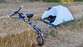 |
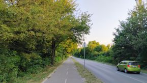 |
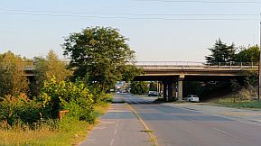 |
|
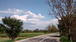
Sector VI. A - 4. b This route sector is one of my favourite.
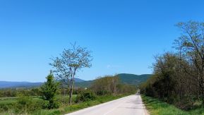
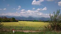
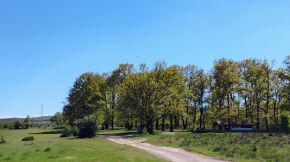
The pedaling in this calm country is easy in both direction, the road is nice, the trafric - minimal. Food and water are available in the villages along the road. |
||
 |
 |
 |
 |
 |
 |
 |
||
 |
 |
 |
 |
 |
 |
|
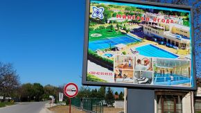
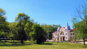
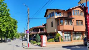
Yagoda is a bigger settlement here, it is developing quickly as a nice SPA resort. Overnight accommodation is possible in it. Information about Yagoda: |
||
 |
 |
 |
|
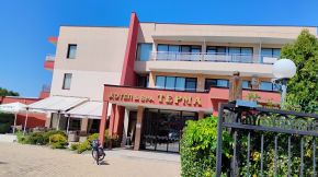
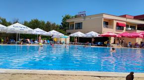
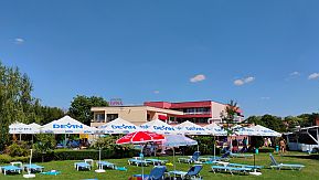
Entering in it you will see a post of SPA Hotel Terma - a perfect place to relax hear a swimming pool of thermal water for an afternoon. |
||
 |
 |
 |
|
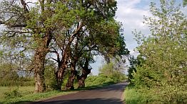
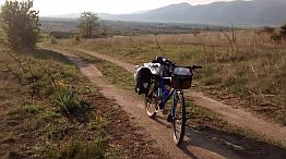
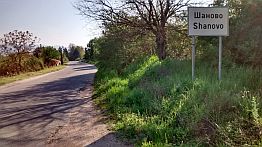
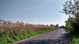
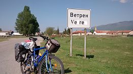
Toward Shanovo and Vetren |
||
| Needless to say, the entire area is nice for camp in the wilderness. | ||
 |
 |
 |
 |
 |
 |
 |
 |
 |
 |
 |
 |
|
|
||
|
Sector VI. A - 6. c
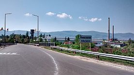
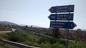
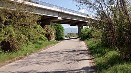
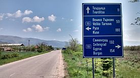
Bicycling toward Nikolaevo, you have to be more careful following road 5007; you have to avoid the main road 6 (E871).
The local road 5007 toward Nikolaevo and Tvarditsa is not signed well, it is because I have increased the map scale. |
||
 |
||
 |
 |
 |
 |
||
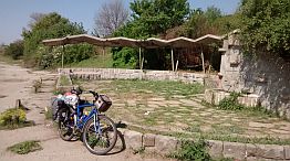
| The water tap I pointed on the map above. | ||
 |
 |
 |
|
Bicycling toward Nikolaevo, you have to be more careful following road 5007; you have to avoid the main road 6 (E871). |
||
 |
 |
 |
| My camp place, pointed on the map above. | ||
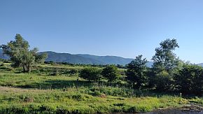 |
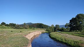 |
 |
|
|
||
|
5. Sector VI. A - 5: From Nikolaevo to Sliven
A more detail map of the Sector VI. A - 5
|
|
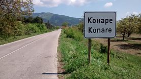
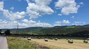
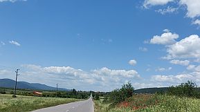
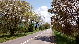
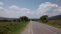
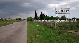
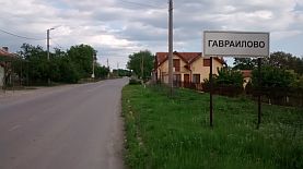
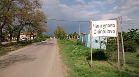
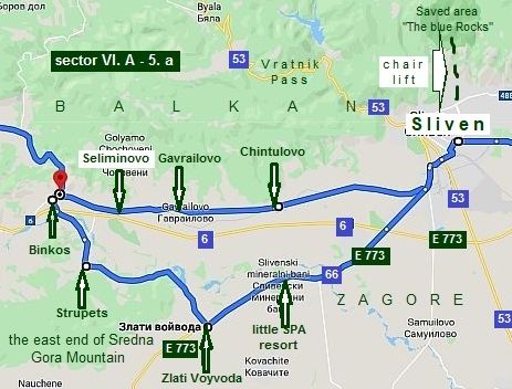
Towards Sliven my suggestion again is to avoid road N6 and follow the route: From Nikolaevo to Konare to Tvarditsa to Sboriste to Shivachevo to Seliminovo to Gavrailovo to |
Chintulovo to Sliven. As it can be seen from the road profile chart, the road segment is very easy and pleasant for pedalling in both directions. |
|
 |
||
|
It is one of my favourite road segments in BG, the touring here is pleasant, there is no any traffic along the local road; it is not signed on my Google map (maybe 5007), it is parallel to the road N6. |
|
For the direction from east to west I am not sure if in Sliven this road is signed well, never mind it is not hard to be found out leaving Sliven; the road is along the railway from Sliven to Sofia. |
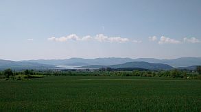
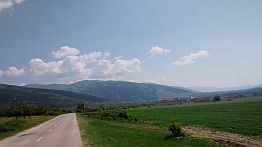
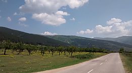
| The next several photos are taken just after leaving Nikolaevo toward Tvarditsa. | ||
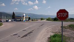 |
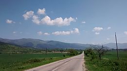 |
 |
 |
 |
 |
 |
 |
 |
|
Overnight accommodation is available in Tvarditsa, you will see labels for guests houses attached on poles near the road. Veeeeery little information for the Tvarditsa: |
||
|
|
|
|
|
|
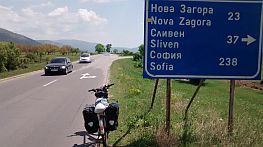
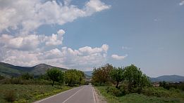
The countryside toward Shivachevo
|
|
 |
 |
|
 |
 |
|
|
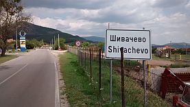
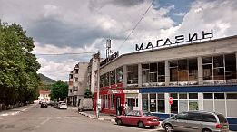
Next little town is Shivachevo. Nothing special to say about it. |
||
 |
 |
 |
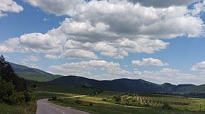
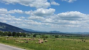
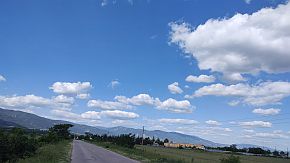
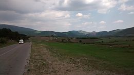
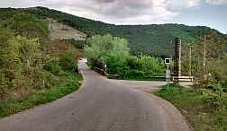
| Next photos illustrate countryside toward Sliven. | ||
|
|
 |
 |
 |
 |
 |
 |
 |
 |
 |
 |
 |
 |
 |
 |
|
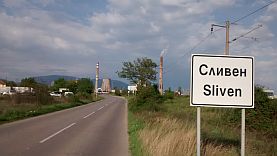
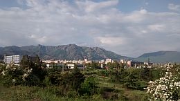
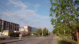
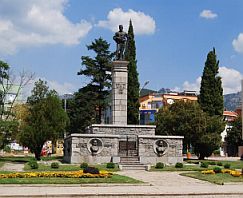
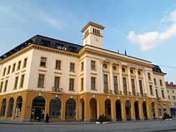
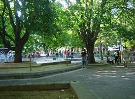
Overnight accommodation in Sliven is not a problem. Information about Sliven can be seen here: |
http://wikitravel.org/en/Sliven |
 |
 |
 |
 |
 |
 |
|
|
 ٭Opportunities: Sector V. A - 5. a
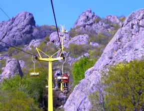
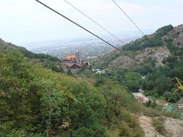
In the north end of the town there is a chair type lift up to "Sinite Kamani Natural Park" - the Blue Stone Nature Park. The view to the plane low down is great: https://bulgariatravel.org/en/sinite-kamani-natural-park/
There is a chair lift up the mountain (if my memory serves, the direction to the initial lift station in Sliven is signed well; there are several hotels close to the initial lift station). The chair lift is almost 2 kilometers long, the altitude between lift stations is almost 600 meters, for 20 min you will be in the mountain. https://www.youtube.com/watch?v=rNCopKHFMck
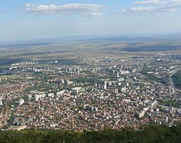
A marvelous view is revealed to the field- the next three photos. |
 |
 |
 |
|
|
||
|
On the map in left above, I have pointed a little SPA resort, a very nice place for relax – so called “Sliven Thermal Bath” or something like it:
|
From Binkos to Strupets to Zlati Voyvoda toward a little SPA Resort: slivenski Mineralni Bani There are 2 swimming pools of thermal water, a sign toward a better one of them you will see entering in the resort coming from Zlati Voyvoda (to left). |
|
|
|
I have never miss the possibility to relax here for an afternoon when I am bicycling in this area, but the places for overnight accommodation there I know are not very nice. |
 |
|
|
| June '22 I spent three raining days in the Family Hotel "Kalina". | ||
 |
 |
 |
|
If you choose this approach to Sliven and need not to visit Sliven, you may surround it using road E773. |
||
 |
 |
 |
 |
||
 |
 |
 |
|
|
||
|
6. Sector VI. A - 6: From Sliven to Aytos
A more detail map of the Sector VI. A - 6.
|
|
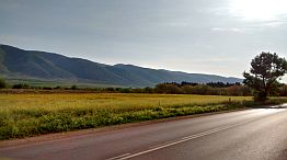
Coming from Stara Zagora, you may miss Sliven, pedaling along the ring south from it (road 6). As it is shown on the map above, two routes are possible from Sliven and Burgas: from Sliven to Aytos to Burgas and from Sliven to Yambol to Burgas - a description of it in the next item. I will start with the first one: From Sliven to Topolchane to Dragodanovo to the Pentacle to Lozenets to Venets to Karnobat to Aytos. (the Pentacle I point on the map is a crossroad - motel, |
|
restaurants and water are available there). No way, toward Burgas you have to pedal along the main road N6 (E 773). Although there is a traffic here, the road is not so busy, I think it is save to pedal here, the road profile chart shows it. Bicyclists pedalling the route in the back direction can notice that after Aytos there is 7-8 kilometers hill, which is very tedious in the hot summer days; adding the traffic, it really not so pleasant for pedalling. So in the end of this point I will increase the scale a little and in the sector VI. A - 6. a I will give a nice alternative. |
 |
||
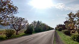
| The area here is flat, it is easy and pleasant for pedalling. | ||
 |
 |
 |
 |
||
| At each crossroad (Kaloyanovo, Trapolkovo) you can find a restaurant, so, food supplying here is not a problem. | ||
 |
 |
 |
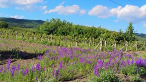
| The countryside near Venets and my camping place next to an irrigative chanel, the end of May '25. | ||
 |
 |
 |
 |
||
|
|
|
|
|
At the map above I have pointed a crossroad called the Pentacle: 5 roads are crossing here. The place is appropriate for relax, restaurants and a hotel are available here. |
||
|
|
|
|
|
|
Countryside toward Karnobat.
|
|
|
|
|
|
|
|
|
|
|
|
|
|
|
|
|
|
|
|
Overnight accommodation is possible in Karnobat, there are several hotels in the town. Information about Karnobat: http://www.guide-bulgaria.com/SE/bourgas/karnobat/karnobat A nice relax spot in Karnobat is hotel Mirage - there is a nice swimming pool there, the hotel restaurant is nice as well. The scheme in left shows how you can find it. |
|
|
|
|
|
|
|
|
|
|
Toward Aytos. Soon after Karnobat there is a long descending toward Aytos. This distance, almost 6 - 7 km. long, is not easy for pedaling in the hot summer |
afternoons in the back direction. The transit traffic of the heavy trucks is forbidden east from Karnobat. |
|
|
|
|
|
|
|
|
|
|
|
|
|
|
|
|
|
|
|
|
|
|
Information about Aytos:
http://www.guide-bulgaria.com/SE/bourgas/aytos/aytos
For overnight accommodations in Aytos, I recommend the Hotel Genger. https://hotelkamynite.com/en/entertainments/entertainment /ethnographic-complex-genger-aytos
Look for a spot named Genger as you begin climbing Aytoski pass, road N 208. It is in a park area, like a mini ethno - village. There is a trail up to the ethno-village, to a restaurant and pool.
Photos from Aytos |
|
|
|
|
|
|
|
|
|
|
|
||
|
٭An Opportunity sector IV. A - 6. a |
||
|
As I have mentioned, bicyclists pedalling the route in its back direction can notice that after Aytos there is 7 - 8 kilometers hill, which is very tedious in the hot summer days; adding the traffic, it really not so pleasant for |
pedalling. So, the next route can be used to avoid the traffic, although it is several kilometers longer: From Aytis to Karageorgievo to Topolitsa to Klikach to Karnobat. |
|
|
|
||
| The next two road profile charts compare the two opportunities. The second distance is really several | kilometers longer, but the pedalling here is safer. Food and water are available in villages along your route. |
|
In the summer '21 I explored the longer distance, I can say it was very nice. |
 |
 |
 |
| The only disadvantage is that from Topolnitsa toward Klikach there are 2 - 3 kilometers off road and it is not labelled well, but it is not a big problem. | ||
 |
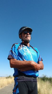 Pedaling again the same distance July '25 I found that after the off-road, the next road segment toward Topolnitsa and Aytos was renovated. |
 |
 |
 |
|
 |
 |
|
 |
 |
 |
|
The countryside toward Karageorgievo.
|
||
 |
 |
 |
|
|
||
|
7. Sector VI. A - 7: From Aytos to Burgas (and Sunny Beach Resort)
Sector VI. A - 7 The next map is more detail one showing some opportunities in this sector.
So, we are finishing our touring to Burgas, but I will suggest here 3 opportunities:
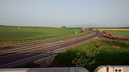
Route a: From Aytos to Vetren to Burgas. It is the shortest route from Aytos to Burgas, last years I see there is a heavy traffic from Aytos to the crossroad of roads N6 & 6009 and further to Vetren in some hours of the day, when people are travelling to work in Burgas and Sunny Beach Resort. Several kilometers after Aytos the road N6 joins to the motor road A1. I pedalled this distance several times, I do not remember if this road is forbidden for bicyclists, maybe not because already it is not a motor road. |
|
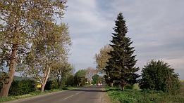
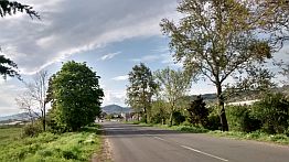
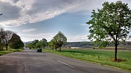
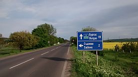
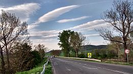
Next several photos are the countryside toward Burgas. |
||
 |
 |
 |
 |
 |
 |
| My camping place just on the hill above Vetren | ||
 |
 |
 |
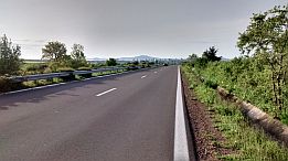
| After Vetren you will be on the main road. | ||
 |
 |
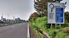 |
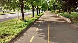
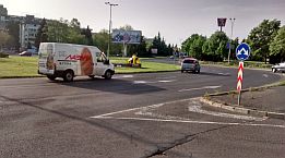
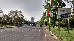
| Roads toward Nesebar, Sunny Beach and Sozopol are signed well, if you want to enter in Burgas, follow the velo lane. | There are a lot of velo lanes in Burgas, but I can not find a good map for them. |
 |
 |
 |
|
Burgas is a big Bulgarian town at the sea coast. I love its Sea Garden. Information for Burgas:
|
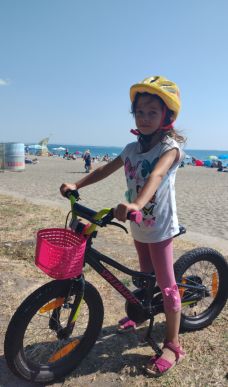
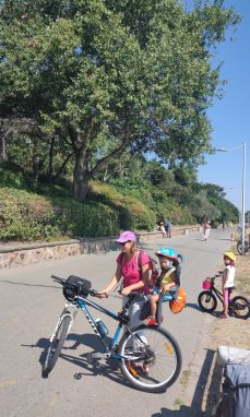
Some of my tours finish in Burgas, and I go back home by a train; at Burgas rail Station is very convenient to load bikes on the train; the train is composed an hour to its departing. Several photos from Burgas and its Sea Garden: |
|
|
|
|
|
|
|
|
|
|
|
|
|
|
|
|
|
|
|
|
|
|
|
 |
 |
 |
 |
 |
 |
|
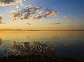
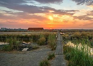
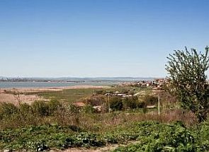
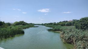
West from Burgas is placed the Lake of Burgas: |
||
 |
 |
 |
|
|
||
|
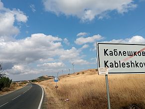
Bicyclists intending to visit Nesebar and Sunny Beach Resort may miss Burgas City; they can use the routes b & c shown on the map above. Route b: From Aytos (road 6) to Mirolyubovo (road 6009) to Izvoriste to Bryastovets to Kableshkovo to Aheloy. |
In the touristy season (July - August) traffic here also is relatively intensive. A little information for Kableshkovo: http://www.guide-bulgaria.com/SE/bourgas/pomorie/kableshkovo Details concerning cities and resorts at the seaside can be seen in the Chapter IV. Bicycling along Black sea side |
|
|
|
||
|
|
|
|
|
|
 |
|
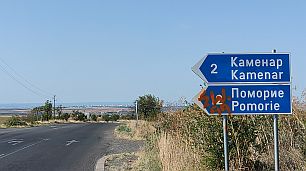
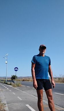
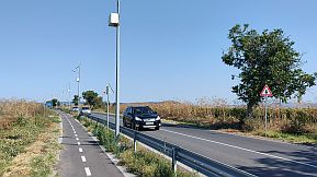
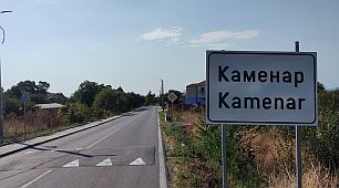
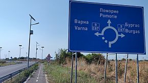
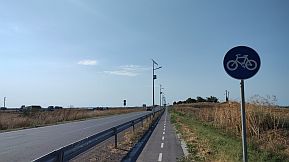
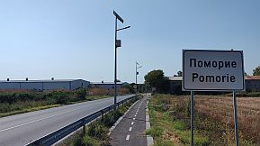
| An opportunity here is the shortcut from Kableshkovo to Kamenar to Pomorie. From Kamenar to Pomorie there is a nice velo lane. | ||
 |
 |
 |
 |
 |
|
 |
 |
|
|
|
||
|
 |
 |
 |
 |
 |
 |
|
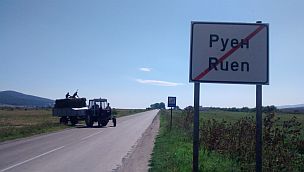
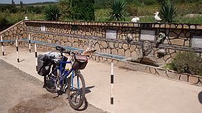
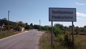
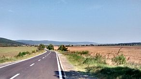
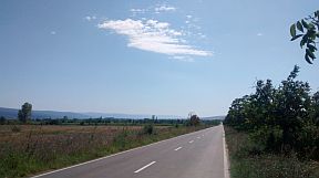
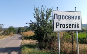
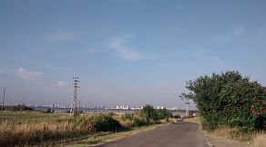
The road from Ruen toward Orizare is extremely pleasant, there are a lot of water springs along the road, although the water is not so nice for drinking - it is too hot in the summer. |
||
 |
 |
 |
 |
 |
|
 |
 |
| I on the wall of Poroy Dam. | ||
 |
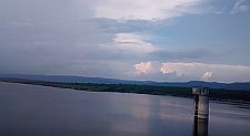 |
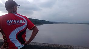 |
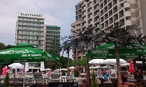
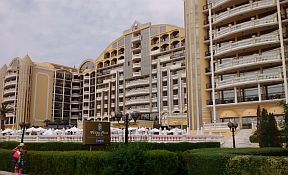
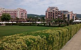
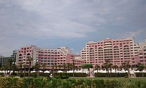
| The next several photos are Sunny Beach Resort. It is the biggest one south from Balkan. If you love absolutely crowded place - it is just the place for you. |
Information in details for Sunny Beach Resort: |
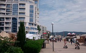 |
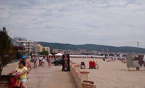 |
 |
 |
 |
 |
 |
 |
 |
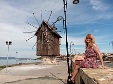
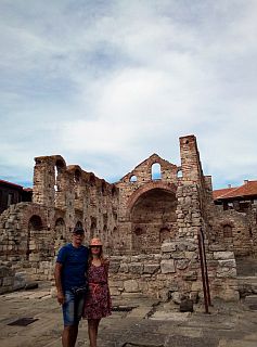
| The place I love in this region is the old history town Nesebar, You may visit the peninsula with the old part of Nesebar, it is protected by UNESCO (next photos). |
A lot information for Nesebar is available in the next sites: |
|
|
|
|
|
|
|
|
|
|
|
|
|
|
|
|
|
|
|
|
|
|
|
|
|
|
|
|
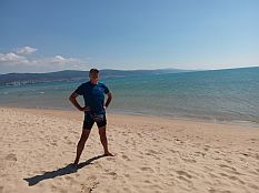
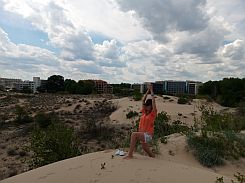
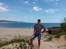
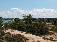
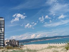
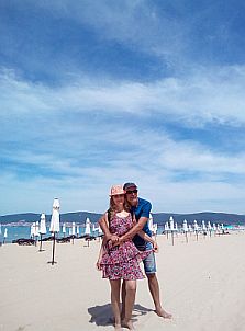
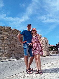
More photos of this spot taken in the early June 2020, when the resorts were empty because of the COVID 19 epidemics . . . |
We decided that for us it is not dangerous and spent several sunny days there enjoying of the empty beaches. 2021 we did it again. |
 |
 |
 |
 |
 |
 |
 |
 |
 |
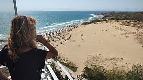
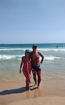
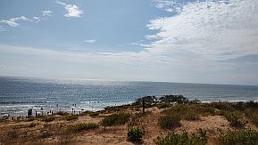
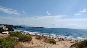
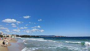
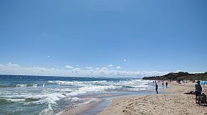
| And several photos from the south beach of Nesedar, took in the beautiful early September '23 | ||
 |
 |
 |
 |
 |
|
 |
 |
|
|
|
||
|
8. Sector VI. A - 8: From Sliven to Yambol to Burgas
|
||
|
This route is: From Sliven to Yambol to Sredets to Burgas. The route is an alternative to reach Burgas from Sliven. |
Tourists prefer to use the motor road A 1, so the traffic here is very little, especially in the road sector from Yambol to Sredets. | |
|
Sector VI. A - 8
|
||

So, for more detail description I will split this sector in two:
Sector VI. A - 8. a
And here are available two routes: Route a: From Sliven (road N 53) to Krushare to Yambol to Kalchevo to Saransko (road N 5308) to Tamarino (road N 53) to Voynika
and
Route b: From Sliven (E871) to the Pentacle to (road 707) Straldzha to Vodenichene to Palauzovo to Nedyalsko to Parvenets (road N 53) to Zornitsa.
|
||
| Route a | ||
| Please, notice that from Kalchevo toward Saransko and Tamarino you will be not on the road 53. I do not know why, but it is in a reconstruction since many years. | It is possible to pedal it, but there are road segments in poor conditions. | |
 |
||
|
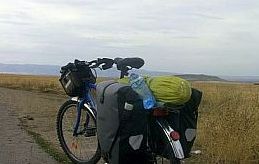
In Sliven look for signs toward Yambol. The only photo I took on is the highest point between Sliven and Yambol; the photo does not show the more intensive traffic |
here - from both cities it is directed toward the motor road A1. I do not think that it is a dangerous segment, but maybe route 2 (my next description) is better than this one. |
|
 |
 |
Information for Yambol (Overnight accommodation is possible in it):
https://en.wikipedia.org/wiki/Yambol https://www.visitbulgaria.net/en/yambol
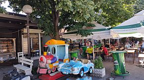
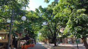
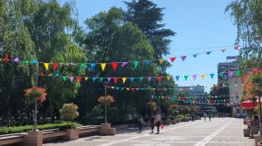
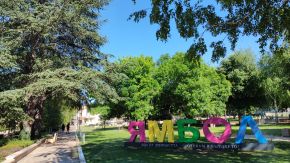
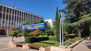
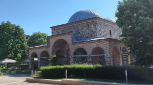
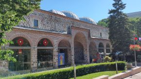
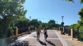
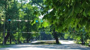
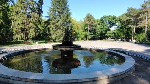
Several pictures from Yambol. |
 |
 |
 |
 |
 |
 |
 |
|
 |
|
The town has very nice garden in its east end next to Tundzha River. Very nice spot to relax for 3 hours in the hot summer afternoons. |
||
 |
 |
 |
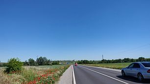
| Up the hill after Yambol . . . It is not steep, but I have memories of a tough time pedalling here in the hot summer afternoons. | ||
 |
 |
 |
| The first village after leaving Yambol is Kalchevo. Entering in it just behind a fuel station there is a | swimming pool; the place is appropriate to spend a hot summer afternoon there, to have a beer, coffee or a shower. |
|
|
 |
|
| I will mention again, that from Kalchevo toward Saransko and Tamarino you will be not on the road 53. I do not know why, but it is in a reconstruction since many | years. It is possible to pedal it, but there are road segments in poor conditions. The next three photos are the countryside toward Tamarino, May '22. |
 |
 |
 |
| A much better spot is available in the next village, Tamarino. | There you can find a motel&restaurant and very nice swimming pool. |
 |
 |
 |
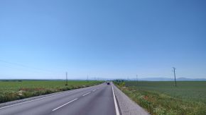
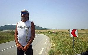
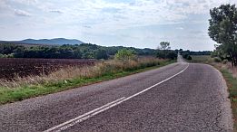
| The next several photos are towards Zornitsa. As the road segment from Yambol to Sredets was not maintained well for a long time, drivers definitely avoid it, which makes pedalling there very pleasant and save. | No any traffic here. The area is almost flat with no high rolling hills. In the hot summer days pedalling here is a little tough. Food and water is available in the villages along the road. |
 |
 |
 |
| Toward Zornitsa. The same point, countryside in August and early June. | ||
 |
 |
 |
 |
 |
 |
|
Route b: From Sliven (E871) to the Pentacle to (road 707) Straldzha to Vodenichene to Palauzovo to Nedyalsko to Parvenets (road N 53) to Zornitsa. |
The area here is flat, it is easy and pleasant for pedalling. The road E871 is signed as an international one, but the traffic here is minimal, drivers use the motor road A1. |
|
|
Next photos are the landscape from Sliven to the Pentacle. |
||
 |
 |
 |
 |
||
| At each crossroad (Kaloyanovo, Trapolkovo) you can find a restaurant, so, food supplying here is not a problem. | ||
 |
 |
 |
| The countryside near Venets and my camping place next to an irrigative chanel, the end of May '25. | ||
 |
 |
 |
 |
||
|
|
|
|
|
At the map above I have pointed a crossroad called the Pentacle: 5 roads are crossing here. The place is appropriate for relax, restaurants and a hotel are available here. |
||
|
|
|
|
|
|
Next to the crossroad, so called Pentacle, is the small town Straldzha, several words about it: http://www.guide-bulgaria.com/SE/yambol/straldja/straldja
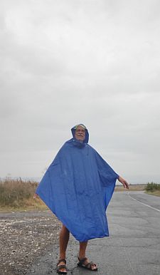
The next several photos were taken in the only raining day in the extremely hot August '24 I explored this area.
In the town center there is a hotel. |
|
 |
 |
 |
| Heading toward Palauzovo, so called "Bakadzhik Hills are on the horizon. | ||
 |
 |
 |
| A little climbing (approx 130 m altitude gain) is available after Palauzovo. You can notice the empty road - this day it seems only I travelled there. | I love such roads - depending on the season, you can find different fruits along the road - cherries, apples, plumbs . . . |
 |
 |
 |
 |
 |
|
 |
 |
|
Sector VI. A - 8. b
|
||
| As it can be seen from the road profile chart, the route from Zornitsa toward Burgas is an easy area for bicycling. | In the back direction from Burgas to west the road is ascending, but although the hills are long, the hill slope is very little. | |
 |
||
|
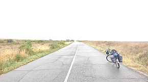
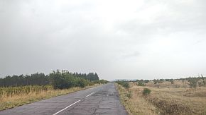
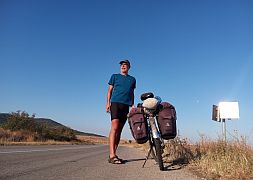
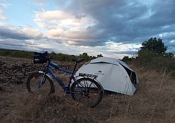
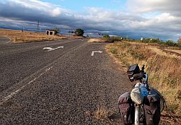
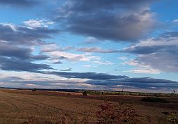
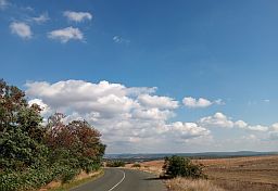
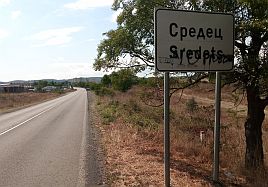
The next photos illustrate the countryside toward Sredets. I love this area to the middle of June; later the sun dries everything and the picture is yellow |
- brown as it can be seen from the photos below, I took photos in the exceptionally hot and dry September '20. | |
 |
 |
 |
 |
 |
 |
| The same area in the middle of May ' 22. | ||
 |
 |
 |
|
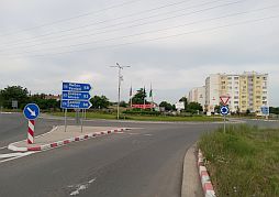
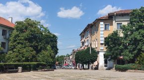
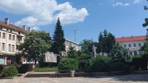
Overnight accommodation is possible in Sredets (just before enter in Sredets coming from Yambol there |
is a motel). Information about Sredets: |
 |
 |
 |
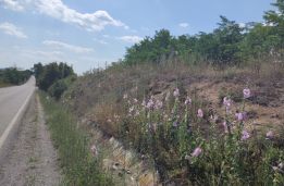
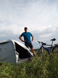
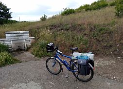
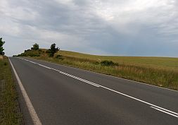
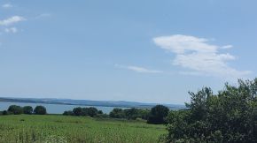
| The traffic from Sredets to Burgas is relatively intensive, but the road is well maintained and wide. | Several photos from this area - a spring of fresh water just after Sredets and my camp place next to it. |
 |
 |
 |
|
|
 |
|
 |
 |
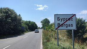 |
|
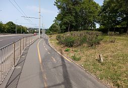
Entering in Meden Rudnik Suburb you will see a bike lane, pedalling along it you will reach the Line Station in Burgas and the Sea Garden. |
||
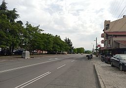 |
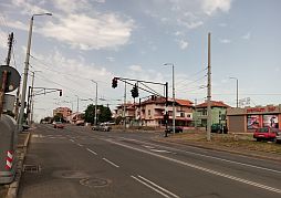 |
 |
|
|
||

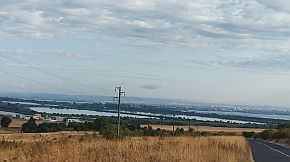
Route b And the last opportunity I will mention here is the road surrounding Mandra Dam from the south (road 7908). August '17 I explored this area, but I do not believe I will do it again: there are a lot of biting flies, they are terrible up the hill, when the velocity is not higher than 15-16 km/hour. The road in the saved area is in poor conditions. Food and water are available in Dimchevo. |
|
|
|
|
|
|
|
|
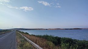
On the map above I have shown the last opportunity - if you head to south wishing to miss Burfas, from Meden Rudnik Subarb you can turn left and pedaling along the |
|
Mandra Dam wall, from your right is the dam, at your left - Reserve Poda. Information for Mandra Dam and Reserve "Poda": https://bulgariatravel.org/the-poda-nature-preserve/ |
 |
||
 |
 |
 |
|
|
|
|

9. Toward Burgas Airport
Entering in Burgas (Meden Rudnik Suburb) from Sredets you will see a velo lane at your right. It will lead you to Burgas Line Station, Burgas Port, Burgas Sea Garden and Sarafovo where is Burgas Airport. (There is a nice velo line system in the town, unfortunately I can not find a nice velo lane map). If you arrive late in the evening or leave the town early in the morning by a plane, you can find hotel next to Burgas Airport in Sarafovo, placed 5 min walking to the airport.
The Map in left shows the way you van reach Sarafovo from Burgas. No problem to use the motor road, but the traffic there is crazy. https://en.wikipedia.org/wiki/Sarafovo
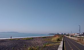
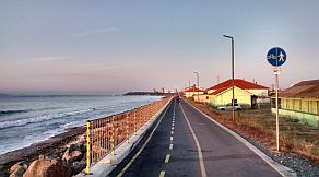
The next 3 photos are the velo lane next to the beach toward Sarafovo. |
 |
 |
|
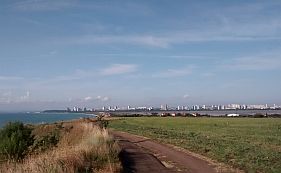
| Leaving the velo lane, you will climb toward Sarafovo - you can not be wrong, a lot of bicyclists permanently pedal this distance. Sarafovo is in front of you. | In the back direction, you have to enter in Sarafovo and in its center you have to turn right. Soon you will be in the field, away in front of you will see Burgas. |
 |
||
|
|
 |
 |
|
|
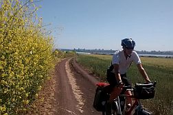
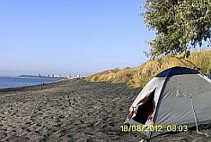
| Many times I camped there - on the beach, near the old military bunker or in the field next to Atanasovsko Lake. | ||
 |
 |
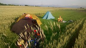 |