|
|
||
.jpg) |
|
|
|
|
||
|
|
||
|
|
|
|
|
|
||
|
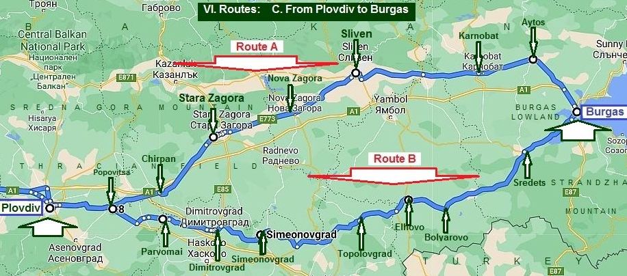
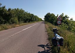
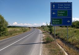
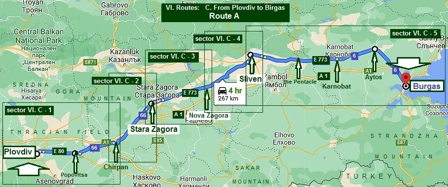
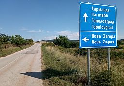
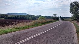
VI. Routes: C. From Plovdiv (Pazardzhik) to Burgas |
|
|
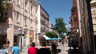
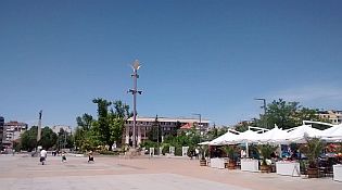
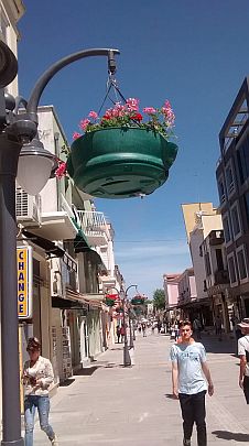
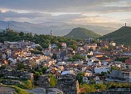
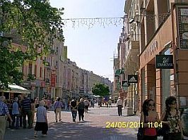
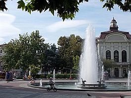
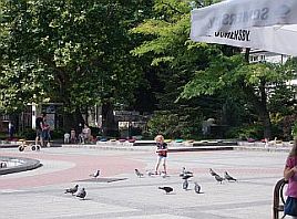
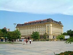
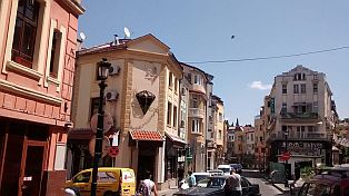
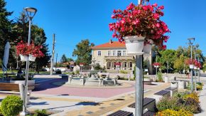
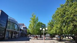
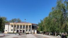
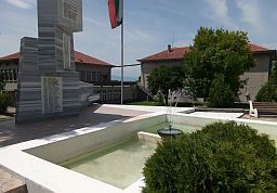
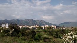
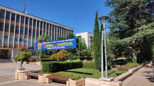
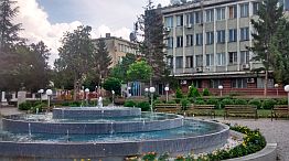
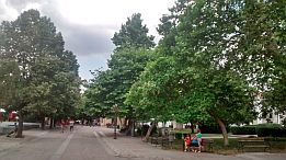
Plovdiv is a popular tourist destination in Bulgaria. Detail information for Plovdiv can be seen here: https://en.wikipedia.org/wiki/Plovdiv
https://bulgariatravel.org/plovdiv-city/
https://bulgariatravel.org/en/plovdiv-city/
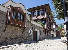
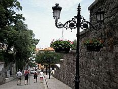
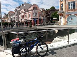
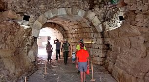
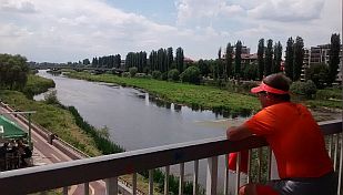
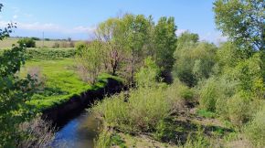
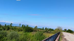
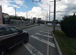
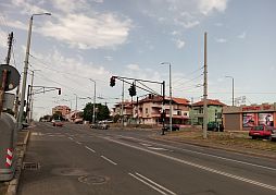
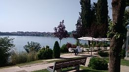
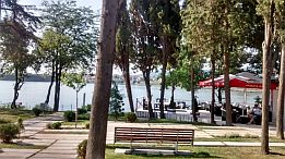
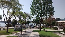
On the map I have shown the way to cross the city of Plovdiv by the green dashed line in order to avoid the tunnel under the hill with the Ancient Amphitheatre on it, although it is not a problem to pedal it.
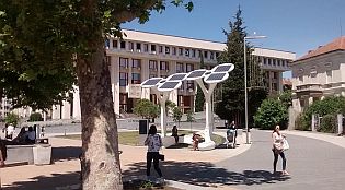
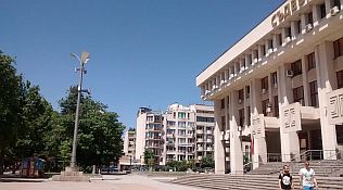
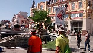
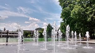
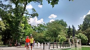
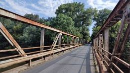
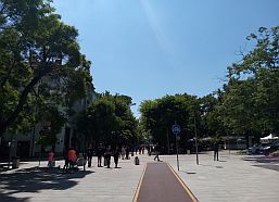
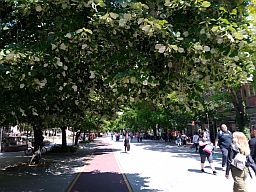
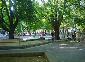
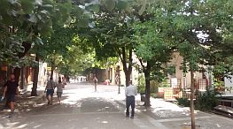
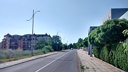
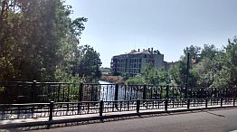
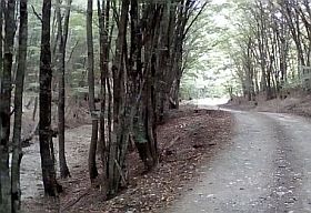
I have pointed the walking area in the Plovdiv city (the next several pics.) beginning with the walking bridge on Maritsa River by the dashed green line – use it. (DO NOT PEDAL THERE !!!, - it is forbidden, only walk !!!) |
 |
 |
 |
 |
 |
 |
|
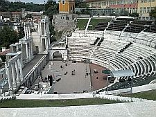
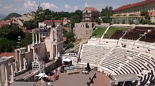
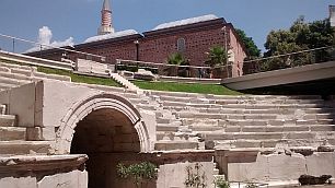
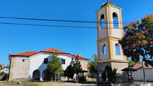
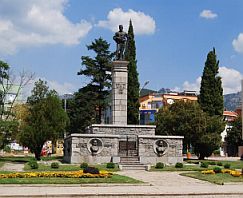
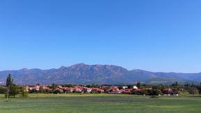
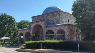
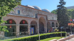
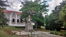
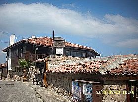
The History Hill of the Old Town and the Ancient Amphitheatre on it. https://bulgariatravel.org/en/ancient-roman-forum-in-plovdiv/ |
||
|
|
|
|
|
|
|
|
 |
 |
 |
 |
 |
|
 |
 |
|
 |
 |
 |
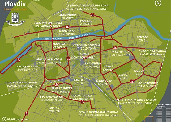
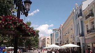
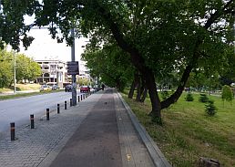
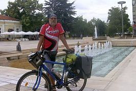
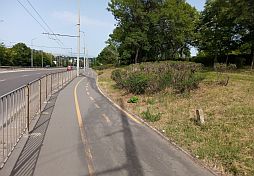
The next link is a map for the velo lanes in Plovdiv: |
||
|
|
||
|
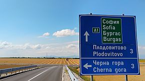
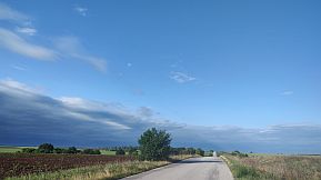
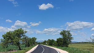
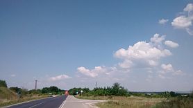
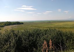
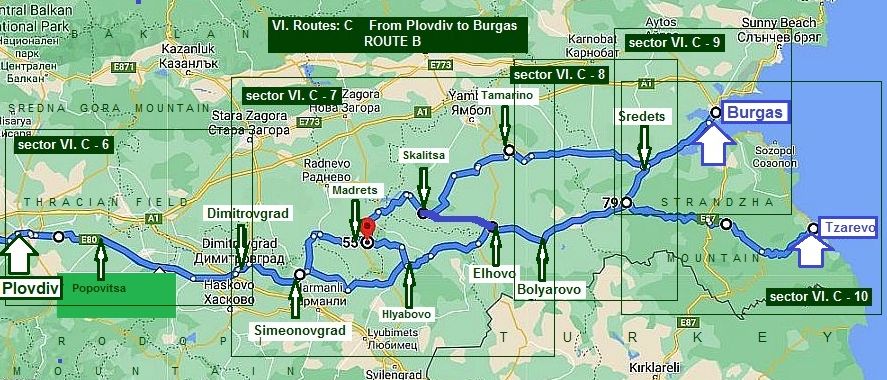
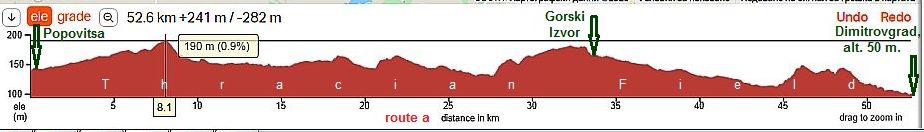
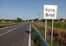
Here I will show two possible routes from Plovdiv to Burgas, the distance for the both rotes is almost the same. So, the content of this Chapter includes two routes shown on the next two map: |
||
|
Route A From Plovdiv to Popovitsa to Chirpan to Stara Zagora to Nova Zagora to Sliven to Karnobat to Aytos to Burgas. |
Route B From Plovdiv to Popovitsa to Parvomay to Dimitrovgrad to Simeonovgrad to Topolovgrad to Elhovo to Bolyarovo to Sredets to Burgas. |
|
 |
||
|
Further I will expand the Route B showing two options. I know that touring bicyclists prefer Route A. But, Route B, I feel is much better and definitely safer. There is not any traffic n this route, either. |
||
|
|
|
Route A |
||
|
From Plovdiv to Popovitsa to Chirpan to Stara Zagora to Nova Zagora to Sliven to Karnobat to Aytos to Burgas.
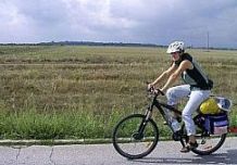
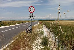
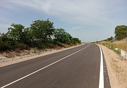
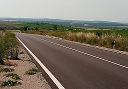
Bicyclists intending to visit cities along this route have to use the road E773. It is almost flat, there are not |
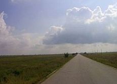
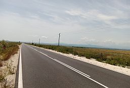
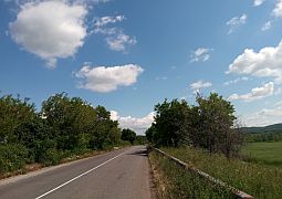
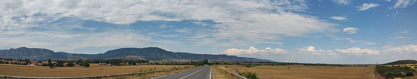
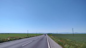
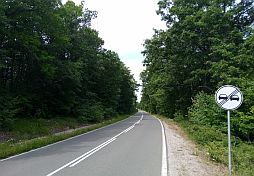
any problems with food, water supplying, or overnight accommodations. E773 is a pleasant route for bicycling. There is traffic along this road, especially near Stara Zagora, I can say it is not so intensive. July and August here is quite hot. |
|
|
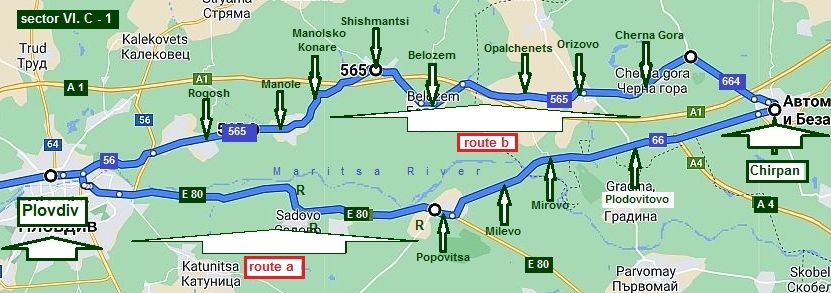
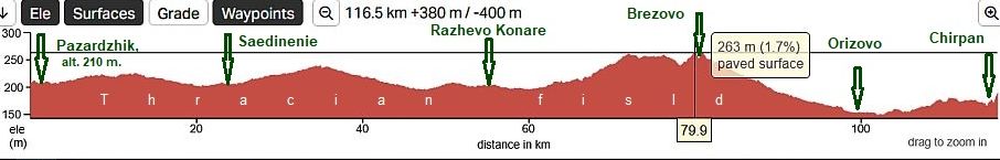
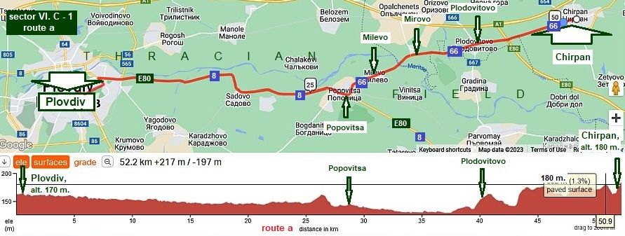
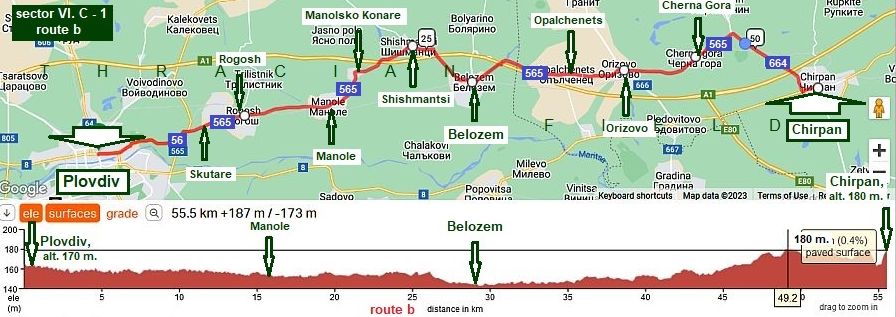
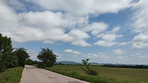
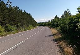
Sector VI. C - 1 From Plovdiv to Chirpan
In this sector I will suggest two routes: Route a |
||
|
From Plovdiv to Popovitsa to Milevo to Mirovo to Plodovitovo to Chirpan. |
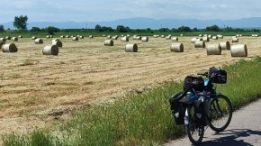
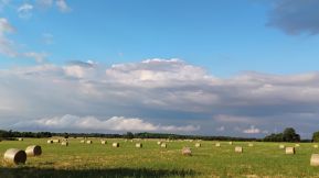
Road profile chart from Plovdiv to Chirpan. There are a lot of low rolling hills making the views more scenic. | |
 |
||
|
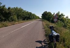
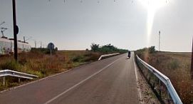
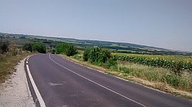
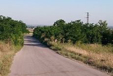
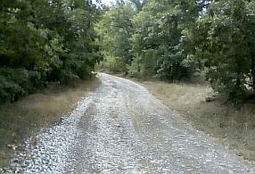
The road segment from Plovdiv to Popovitsa can have heavy traffic. Pedaling here is not a pleasure at all. The road is in very nice condition. |
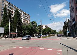
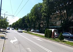
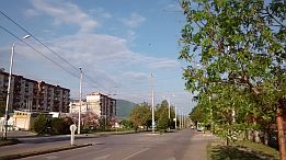
When leaving Plovdiv, find the velo lane I pointed in red on the City map above. |
|
 |
 |
 |
|
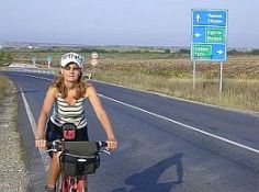
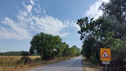
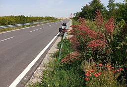
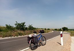
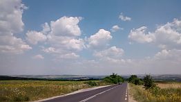
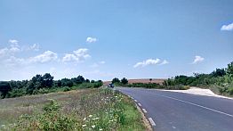
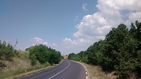
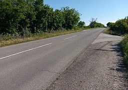
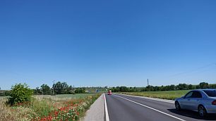
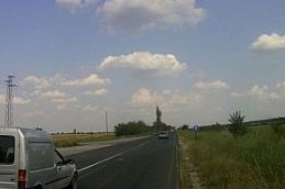
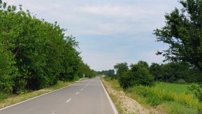
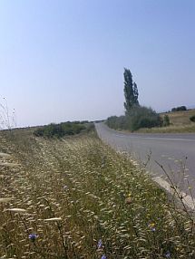
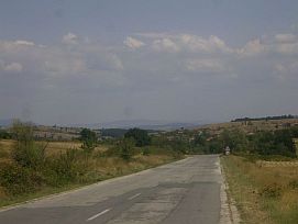
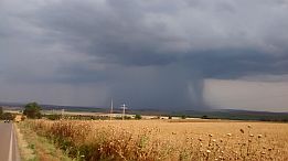
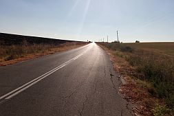
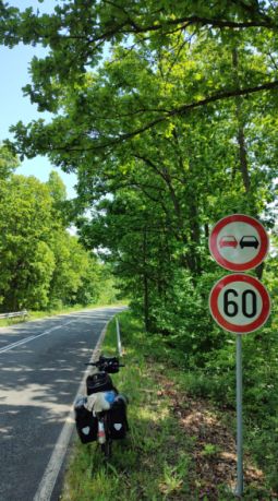
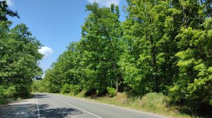
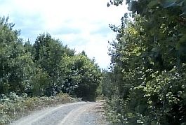
The traffic on the road from Plovdiv to Popovitsa is pretty heavy, although it is not obvious from photos below. I do not think it is dangerous to pedal here. |
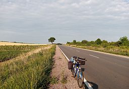
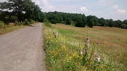
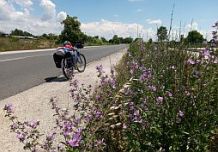
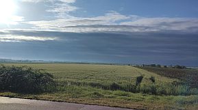
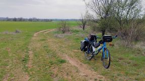
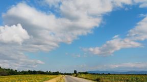
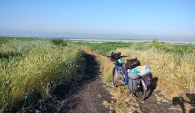
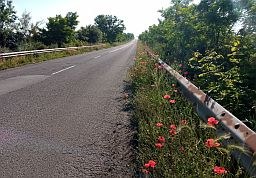
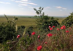
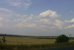
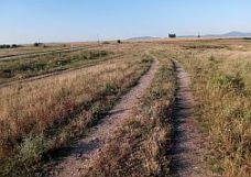
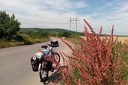
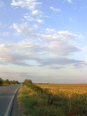
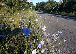
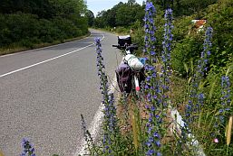
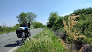
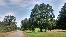
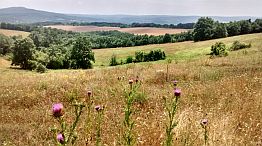
The next several pictures are of the countryside of Thracian Field east from Plovdiv toward Popovitsa. With "R" on the map above I have pointed restaurants along the road. |
 |
 |
 |
 |
 |
 |
 |
 |
 |
|
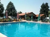
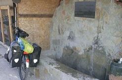
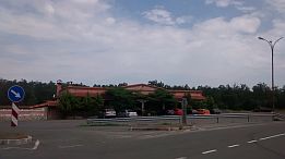
Entering in Popovitsa you can find easy a nice spot near the road, I love to relax there for an afternoon. |
Usually there are no more than 5 - 6 children near the pool. Food and cool beer are available there. |
 |
 |
 |
|
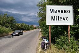
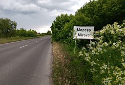
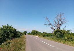
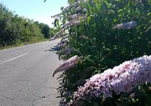
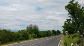
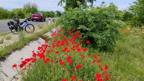
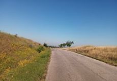
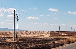
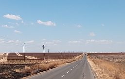
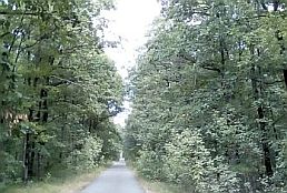
Leaving Popovitsa toward Milevo (Road 66), the traffic disappears. Food is available in Milevo, Mirovo, Plodovitovo. |
||
 |
 |
 |
 |
 |
 |
|
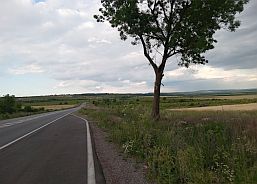
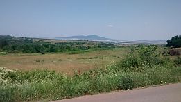
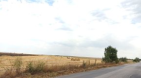
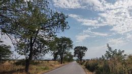
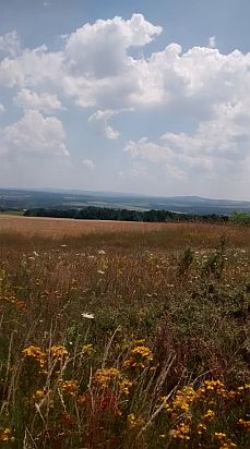
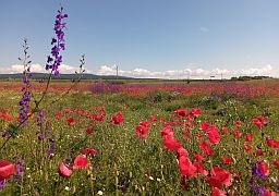
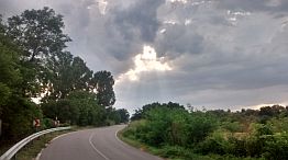
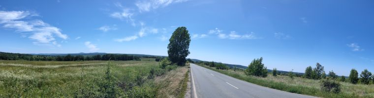
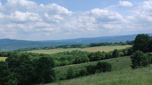
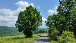
The road from Plodovitovo toward Chirpan cross a little bit higher hills. So back toward Rodopi Mountais, a very nice view is revealed. |
||
 |
 |
 |
 |
 |
|
|
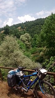
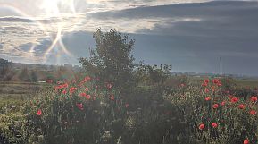
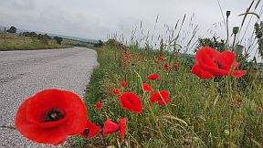
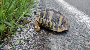
And several more photos of the same area having emotional value for me from tours I have done in the years. |
||
 |
 |
 |
 |
 |
|
|
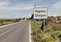
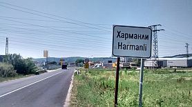
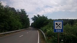
Overnight accommodations are possible in Chirpan. Information and several photos. http://www.guide-bulgaria.com/SE/stara_zagora/chirpan/chirpan |
||
 |
 |
 |
|
Route b Because the traffic along the road from Plovdiv to Popovitsa is very heavy, the route given here avoid it completely. The route is: |
|
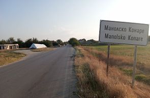
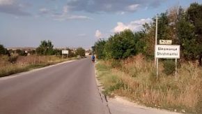
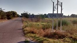
From Plovdiv (road 56) to Skutare (road 565) to Rogosh to Manole to Manolsko Konare to Shishmantsi to Belozem to Opalchenets to Orizovo to Cherna Gora (road 664) to Chirpan. |
 |
||
|
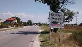
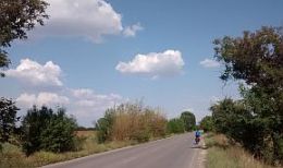
Once locating the road 56 from Plovdiv to Skutare, you will have not any problems reaching Chirpan, enjoying an easy route without any traffic. |
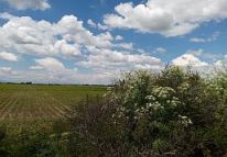
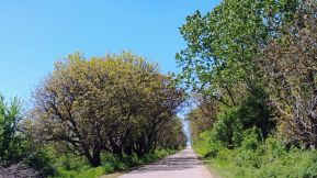
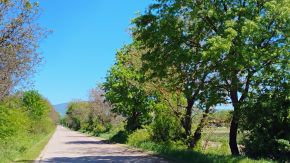
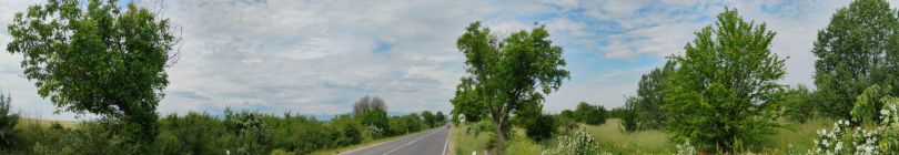
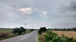
Food can be found in all the villages along the road. The next several photos illustrate this beautiful plain area. | |
 |
 |
 |
|
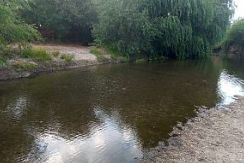
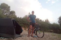
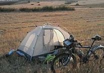
Approximately a kilometer to Manole the road crosses the Stryama River, very clean and hot water. I enjoy camping near the river when here. |
 |
 |
 |
 |
 |
 |
 |
 |
 |
|
Belozem is a bigger village along the route. |
||
|
|
|
|
| Toward Orizovo and Chirpan. | ||
 |
 |
 |
 |
 |
 |
| The same region - between Belozem and Cherna Gora - the sunny May '22 | ||
 |
 |
 |
 |
 |
 |
|
|
||
|
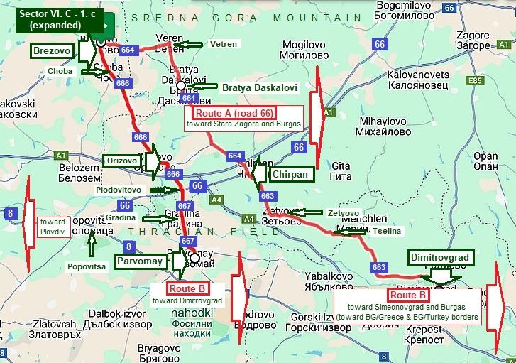
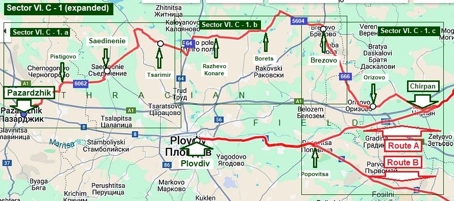
Sector VI. C - 1 (expanded)
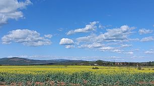
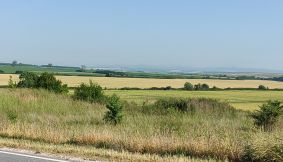
To avoid the traffic in the region of Plovdiv City, I will be a little back, to show last opportunities in this area starting from Pazardzhik. The route is in the Thracian Field, there are a lot of small villages along the road, food and water are available everywhere, the area is perfect to camp in the wilderness, |
I do recommend this route ! :
From Pazardzhik to Pistigovo to Saedinenie (road 6062) to Tsarimir to Razhevo Konare to Borets to Brezovo (road 5604) to Orizovo (road 666) to Chirpan.
Reaching Orizovo and Chirpan in addition I will give shortcuts between Route A and Route B |
|
 |
||
|
Comparing with route Pazardzhik to Plovdiv to Popovica to Chirpan, this route is 24 kilometers longer, but I recommend it because of minimal traffic along it. The only 2 kilometers with more intensive traffic here are a |
|
kilometer and half along road 84.
As it can be seen from the road profile chart, the route is easy for pedalling it the both direcrions. |
|
Sector VI. C - 1. a Iincreasing the scale, the next detail map shows a lot of villages along the route:
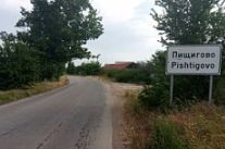
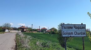
From Pazardzhik (road 3703) to Dobrovnitsa to Pistigovo (road 6002) to Saedinenie to Golyam Chardak to Nedelchevo to Tseleterovo to Tsarimir to the crossroad with road 64
|
||
|
This route is not signed well in Pazardzhik toward Dobrovnitea as well as in Saedinenie toward Golyam Chardak. |
|
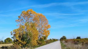
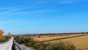
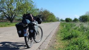
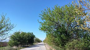
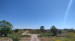
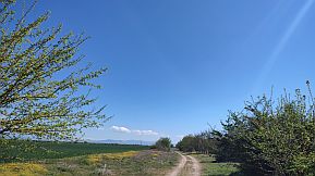
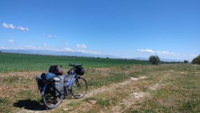
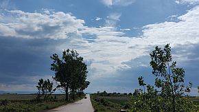
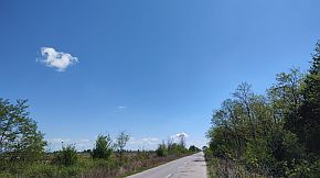
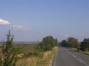
The next several photos illustrate the countryside from Pazardzhik toward Dobrovnitsa, Saedinenie and Golyam Chardak in different seasons - an easy and pleasant route. |
 |
||
 |
 |
 |
 |
||
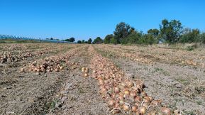
|
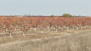
Above - the end of May '25 fields of rise are still flooded, down (the photo in the middle) - Middle of November '95 - combine harvesters harvest ripe rice - the same place. |
||
|
|
|
|
 |
 |
 |
 |
 |
 |
| From Pistigovo toward Saedinenie - the late November '22 | ||
 |
 |
 |
 |
||
 |
||
|
The center of Saedinenie is not on the road, if you need a coffee, again GPS would show it. Information for Saedinenie: http://www.guide-bulgaria.com/SC/plovdiv/saedinenie/saedinenie |
 |
 |
 |
|
If my memories serves, the road toward Golyam Chardak is not labelled properly in Saedinenie, so GPS would be useful although it is not hard to find it. |
 |
 |
 |
|
On the map above I show a shortcut from Golyam Chardak and Tsarimir with a red dashed line. The Google map does not permit to draw it because of irrigative channel in the field, anyway, I travelled it successfully. |
|
The off-road (approx 3 kms) will lead you to the next village - Tsarimir. In a case of rain this route maybe would be better to be avoided. |
 |
 |
 |
|
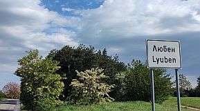
Another opportunity here is to elongate the route a little: From Saedinenie (road 6002) to Praviste to Lyuben to (road 606) to Nedelevo |
||
 |
 |
 |
 |
 |
 |
|
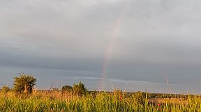
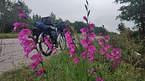
My camp place next to a irrigative channel near Lyuben, a little rain, a rainbow, beautiful sunset and very fresh and wet morning. A restaurant is available in Lyuben. |
||
 |
 |
 |
 |
 |
 |
| Soon you will join to the busy road 64 (from Plovdiv to Karlovo), fortunately you will pedal no more than a mile along it. | ||
|
|
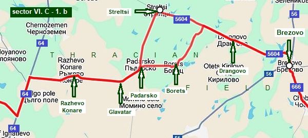
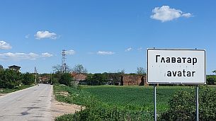
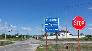
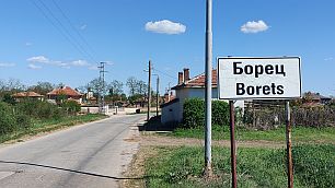
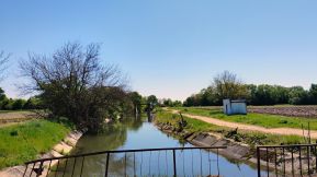
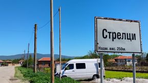
Sector VI. C - 1. b There are two possible routes here: From road 64 toward Razhevo Konare to Glavatar to Padarsko to Borets to Drangovo to Brezovo. The next one includes Streltsi. Both routes are with very little traffic, food is available in villages along the road. |
|
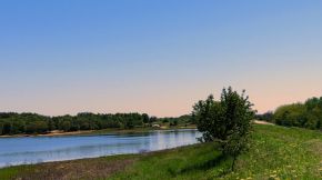
The countryside toward Razhevo Konare, just before entering in it there is a nice clean river - a perfect place to camp near it. |
||
 |
 |
 |
 |
 |
 |
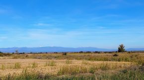
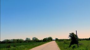
| Toward Glavatar, Borets and Brezovo - again a road without any traffic. | ||
 |
 |
 |
 |
 |
 |
|
The same distance you will pedal, if include Streltsi:
Padarsko to Streltsi to Drangovo
Both routes are perfect for exploring, I can not say which one id better. |
||
 |
 |
 |
 |
 |
 |
|
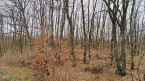
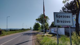
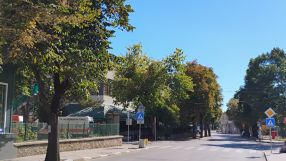
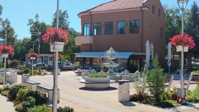
Brezovo is little town, there is a very nice restaurant in it, what about overnight accommodation, I am not sure it is available. Very little information about Brezovo: http://www.guide-bulgaria.com/SC/plovdiv/brezovo/brezovo The same area in the end of March '23 |
||
 |
 |
 |
 |
 |
 |
|
Brezovo is little town, there is a very nice restaurant in it, what about overnight accommodation, I am not sure it is available. Very little information about Brezovo: http://www.guide-bulgaria.com/SC/plovdiv/brezovo/brezovo |
||
 |
 |
 |
 |
 |
 |
|
Sector VI. C - 1. c
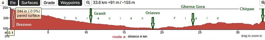
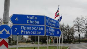
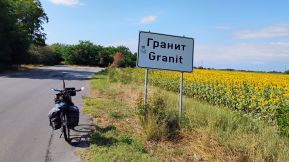
Two routes are possible from Brezovo to Chirpan: Route a From Brezovo (road 666) to Choba to Tyurkmen to Granit to Orizovo (road 565) to Cherna Gora (road 664) to Chirpan;
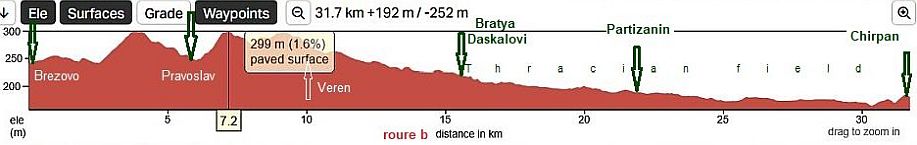
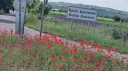
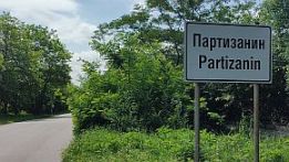
Route b From Brezovo (road 664) to Pravoslav (unnamed road) to Bratya Daskalovi to (road 664) to Gorno Zelenikovo to Partizanin to Chirpan.
Both routes are very nice, although the second one is more hilly. Road 664 from Pravoslav to Bratya Daskalovi is not maintained, it is possible for pedaling.
My choice is route a |
||
|
Road profile charts for both routes show area is easy for pedalling in both directions Route a
Route b
|
||
|
I pedalled this area many times, the next photos are taken in different years, different seasons. The area is nice to camp in the field. |
||
 |
 |
 |
 |
 |
 |
| In villages along the road food shops are available | ||
 |
 |
 |
|
|
|
|
 |
 |
 |
| The same area, April 2024. | ||
 |
 |
 |
 |
 |
 |

Sector VI. C - 1. c
Route b From Brezovo (road 664) to Pravoslav (unnamed road) to Bratya Daskalovi to (road 664) to Gorno Zelenikovo to Partizanin to Chirpan.
Road 664 from Pravoslav to Bratya Daskalovi is not maintained, it is possible for pedaling. |
|
Route b
|
 |
 |
 |
 |
 |
|
 |
 |
|
 |
 |
 |
|
Chirpan is s small town, information for it and several photos. http://www.guide-bulgaria.com/SE/stara_zagora/chirpan/chirpan |
||
|
|
|
|
|
Sector VI. C - 1. c (expanded) Reaching Orizovo or Chirpan in addition I will give shortcuts between Route A and Route B (From Orizovo to route B; From Chirpan to route B) All the routes ate very pleasant for pedaling in the two direction, no matter which one you would choose, you will be not wrong. |
|
|
|
From Orizovo to route B: From Otizovo (road 666) to Plodovitovo to Gradina (road 667) to Parvomay. The next several photos illustrate the countryside Thracian Field. (there is a new bridge over Maritsa River just next to Parvomay) |
||
 |
 |
 |
 |
 |
 |
 |
Parvomay is little town appropriate to have a coffee relax in the hot summer days - the only photo I have of the town. Information for it: http://www.guide-bulgaria.com/SC/plovdiv/parvomay/parvomay
Several photos from this small lovely city. |
|
 |
 |
 |
|
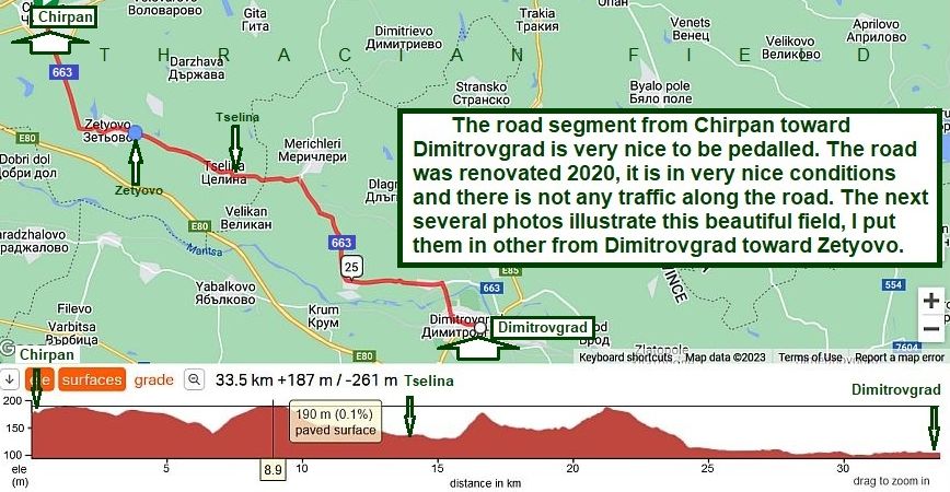
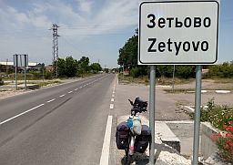
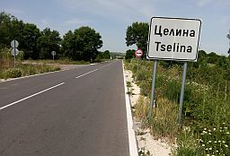
One more opportunity is: From Chirpan to route B: - From Chirpan Zetyovo to Tselina to Dimitrovfrad; Down to Dimitrovfrad it follows a beautiful road with minimal traffic.
|
 |
 |
 |
| Next to Zatyovo, early June '22 | ||
 |
 |
 |
 |
 |
 |
| Zetyovo is a bigger village along the road, food shops are available in it. | ||
 |
 |
 |
 |
 |
 |
|
|
 |
 |
 |
||
 |
||
 |
||
 |
 |
 |
 |
 |
 |
 |
 |
 |
|
An information for Dimitrovgrad: http://www.visitbulgaria.net/en/dimitrovgrad/dimitrovgrad.html |
||
 |
 |
 |
 |
 |
 |
 |
 |
 |
|
|
|
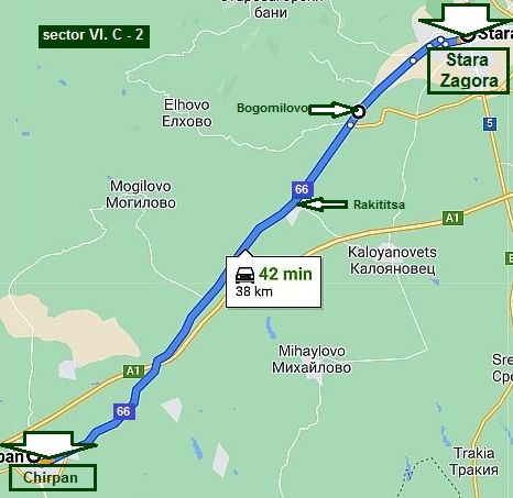 |
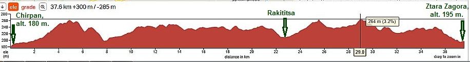
Sector VI. C - 2
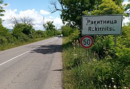
From Chirpan to Stara Zagora Compared to the previous road segment, the road from Chirpan to Stara Zagora is in a little bit more hilly, but, with very little traffic. In Rakititsa there is a little food shop and a coffee shop. Leaving the village you will see a little restaurant near the road. In BogImilovo there is a little food shop and a coffee shop, too.
|
 |
||
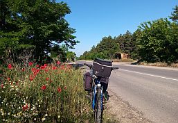
| Photos, taken in May ‘20, showing this beautiful area. | ||
 |
 |
 |
 |
 |
 |
 |
 |
 |
 |
 |
 |
|
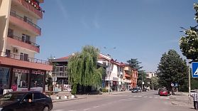
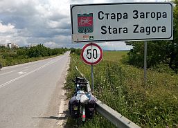
The biggest city in this part of the country is Stara Zagora. Overnight accommodation in Stara Zagora is not a problem. |
Links with information about the city is here: |
 |
 |
 |
 |
 |
 |
 |
 |
 |
|
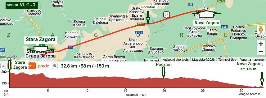
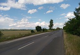
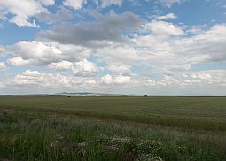
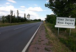
Sector VI. C - 3 From Stara Zagora to Nova Zagora
|
|
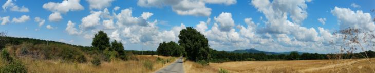
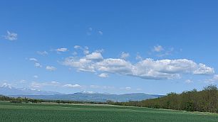
This is a very beautiful, flat area to pedal. Pedaling in both directions is easy. Summer afternoons are hot. |
There is no food or water along this road, although from time to time a small coffee place can be found in Podslon. |
 |
 |
 |
 |
 |
|
 |
 |
 |
|
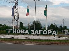
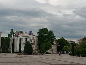
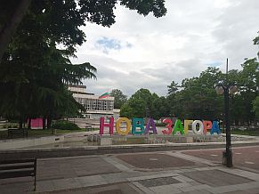
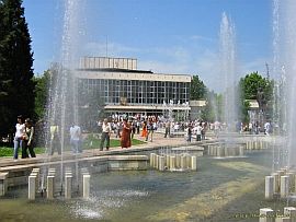
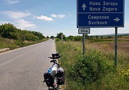
Overnight accommodations in Nova Zagora are not a problem. Links with information about this town is here: http://www.guide-bulgaria.com/SE/sliven/nova_zagora/nova_zagora |
 |
 |
 |
 |
 |
 |
|
|
|
 |
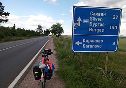
Sector VI. C - 4 From Nova Zagora to Sliven
This route segment is:
From Nova Zagora to Sadievo to Kamenovo to Zlati Voyvoda to Sliven.
The route is easy for pedaling in the both directions. Here the road crosses the eastern part of Sredna Gora Mountain (the hill between Sadievo and Zlati Voyvoda). I point to it on the road profile chart below. |
 |
||
 |
 |
 |
| A food shop is available in Sadievo and Kamenovo. A hill of approx 7 kilometers is after Kamenovo. | ||
 |
 |
|
| Here, on the hill, is a nice place to camp. | ||
|
|
 |
|
| If open, on the top of the hill there is a little restaurant, with wifi. Summer 2025 it was closed. | ||
 |
 |
 |
 |
||
 |
 |
|
|
On the map above is a place for relax – a little spa resort, called “Sliven Thermal Bath” or something like that: https://bulgariatravel.org/slivenski-mineralni-bani- There are two spots with swimming pools of thermal water, a sign toward a better one you will see entering in |
the resort coming from Zlati Voevoda (the last photo below; unfortunately the summer 2005 it was closed. I have never miss the opportunity to relax here for an afternoon when I am bicycling in this area. The places for overnight accommodations there are not very accommodating. |
 |
 |
 |
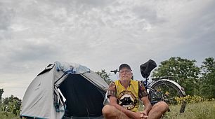
| June '22 I spent 3 days in the Family Hotel "Kalina". | ||
 |
 |
 |
|
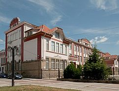
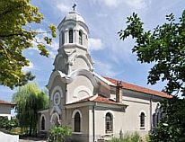
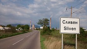
Toward Burgas you can choose to miss Sliven, taking road 6, or visit it. Overnight accommodations in Sliven are not a problem. Information about the city can be seen here: |
http://wikitravel.org/en/Sliven |
 |
 |
 |
 |
 |
 |
|
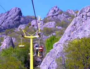
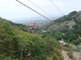
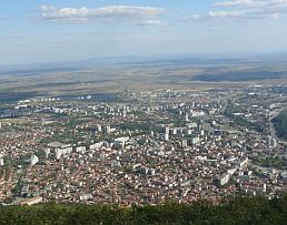
In the north end of the town there is a chair lift up to "Sinite Kamani Natural Park" - the Blue Stone Nature Park. |
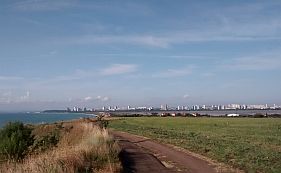
The view of the plain below is great |
 |
 |
 |
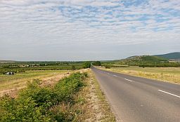
| If you need not to visit Sliven, you may surround it using road E773. | ||
 |
 |
 |
 |
||
 |
 |
 |
|
|
||
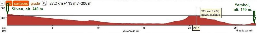
 Sector VI. C - 5 From Sliven to Burgas (E 871)
|
|
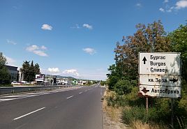
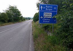
Route a The route is: From Sliven to Karnobat to Aytos to Burgas. Detailed information concerning this route can be found in: Chapter VI. Routes: A. From Sofia to Burgas , sector VI. A - 6, sector VI. A - 7, sector VI. A - 8, |
|
|
Route b
Compared with the route a, the traffic here is much lighter, except the section of road between Sliven and Yambol. In Sliven, look for the signs toward Yambol. I do not think that this is a dangerous segment. |
|
Sector VI. C - 5. a |
|
|
|
||
|
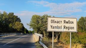
The road 53 from Sliven to Yambol has heavy traffic. A better idea heading toward Yambol would be to follow the next route: |
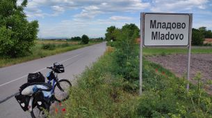
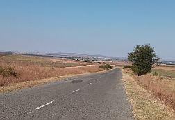
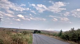
From Sadievo to Konyovo to Mladovo to Kermen (road 555) to Skobelevo to Bozadzhii to Bezmer to Yambol (road 53) to Lakchevo (road 5308) to Saransko to Tamarino (road 53). |
|
|
|
||
|
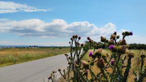
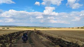
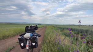
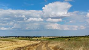
This is a beautiful route. There is hardly no traffic, food and water are available in villages along the road, and the scenery is the best. |
The next several photos illustrate this very nice countryside. |
 |
 |
 |
 |
 |
|
| May is the month of puppies - everywhere in the fields. | ||
 |
 |
 |
|
|
||
 |
 |
 |
|
A bigger settlement toward Yambol is Kermen, little information about it can be seen here: http://www.guide-bulgaria.com/SE/Sliven/Sliven/Kermen I am not sure if overnight accommodations are available in it. |
||
 |
 |
 |
 |
 |
 |
|
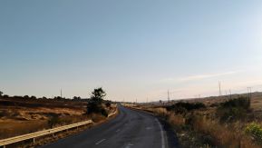
Leaving Bozadzhii in the end of the village there is a spring of water - nice to refresh the equipment. Between Bozadzhii and Bezmer the road is gravel. Next pictures are taken in different seasons - middle of May and midle of August. |
||
 |
 |
 |
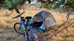
| My camping place on the highest point between Skobelevo and Bezmer. (east from Bozadzhii). | ||
 |
 |
 |
|
July and August are extremely dry period. Maybe in the rainy periods, it would be better to avoid this section of road. |
||
 |
 |
 |
|
|
||
 |
 |
 |
| Again on the paved road. | ||
 |
 |
 |
 |
||
 |
 |
 |
|
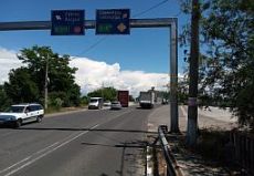
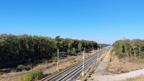
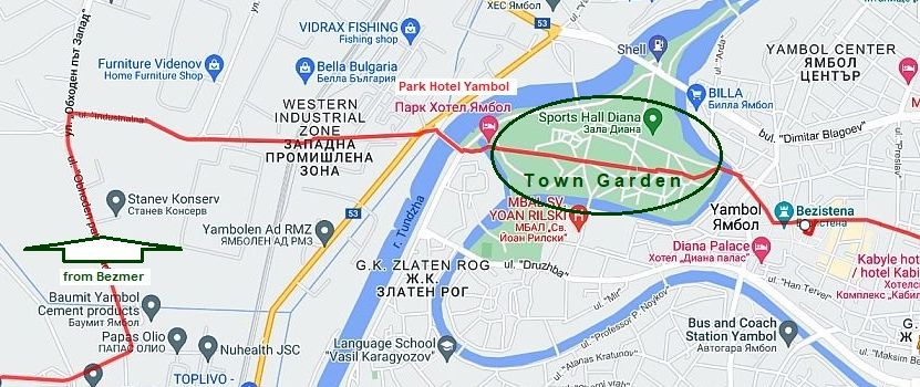
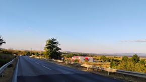
The next map shows the best way to enter in Yambol: heading toward the Western Industrial Zone and crossing the railway (be careful crossing it, the train here |
is fast). Crossing Yantra River, you will enter in the Town Garden seeing the high building of Park Hotel Yambol. |
 |
||
|
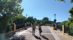
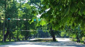
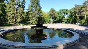
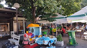
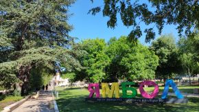
Some information for Yambol and pictures |
The first three photos are the Town Garden you will enter first. Very nice spot to relax for 3 hours in the hot summer afternoons. | |
 |
 |
 |
 |
 |
 |
 |
 |
 |
 |
 |
 |
| Up the hill after Yambol . . . It is not steep, but I have memories of a tough time pedaling here in the hot summer afternoons. | ||
 |
 |
 |
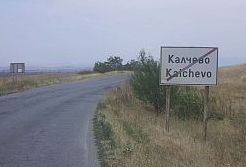
| The first village after leaving Yambol is Kalchevo. Entering Kalchevo just behind a fuel station there is a | swimming pool, appropriate to spend a hot summer afternoon hang a beer, coffee or shower. |
 |
 |
 |
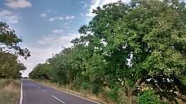
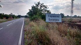
| I will mention again, that from Kalchevo toward Saransko and Tamarino you will be not on the road 53. I do not know why, but it is in a reconstruction since many | years. It is possible to pedal it, but there are road segments in poor conditions. The next three photos are the countryside toward Tamarino, May '22. |
 |
 |
 |
| A much better spot is available in the next village, Tamarino. | There you can find a motel&restaurant and very nice swimming pool. |
 |
 |
 |
|
Tamarino ends my description of this route. Very detailed information concerning route from Tamarino to Burgas can be found here: |
Chapter VI. Routes: A. From Sofia to Burgas Point 8. Sector VI. A - 8: From Sliven to Yambol to Burgas; Sectors VI. A - 8a & 8.b |
|
|
|
Route B |
||
|
A better route from Plovdiv to the Black Sea, including Burgas, is the next one: From Plovdiv to Popovitsa to Dimitrovgrad to Simeonovgrad to Elhovo to Sredets to Burgas. |
For this route I will show several opportunities. The route is intended for bicyclists having more time and loving to visit and explore a wilder part of the country. |
|
 |
||
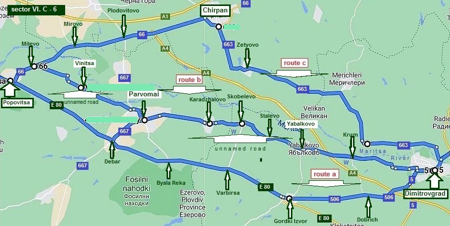
| Sector VI. C - 6 | ||
|
On the next map I have pointed all the possible routes from Popovitsa to Dimitrovgrad, I know them well as I have explored all of them in the years.
The three opportunities I will show here are as follows: Route a From Popovitsa (E 80) to Debar to Varbitsa to Gorski Izvor to Dobrich to Dimitrovgrad;
(The traffic along E 80 is relatively intensive. Avoid E80, especially if on a bicycle). |
Route b From Popovitsa (E 80) to Milevo road 66) to Vinitsa to Parvomay to (unnamed road) Karadzhalovo to Skobelevo to Stalevo to Yabalnkovo to Krum to Dimitrovgrad; (Traveling in as east to west direction, the route is not signed well at all). Route c From Popovitsa (road 66) to Milevo to Mirovo to Plodovitovo to Chirpan (road 663) to Zetyovo to Dimitrovgrad. The traffic from Plovdiv to Popovitsa is intene. Avoid E 80 as much as possible. Examine Chapter: sector VI. C - 1. Route b for the route from Plovdiv to Chirpan. |
|
|
Sector VI. C - 6, route a
|
||
|
Route a Have in mind traffic along the road E80 is intensive ! |
||
|
From Popovitsa (road E80) to Debar to Byala Reka to Varbitsa to Gorski Izvor (road 506) to Dobrich to Dimitrovgrad. The route is mostly flat, with a few little rolling hills. The route is easy to be pedaled in both directions. |
Bicyclists prefer to pedal just this route. But, the traffic here is intense. Food and water can be found along the route. At Debar (the crossroad toward Parvomai - road 667) there is a hotel. I do not recommend this route at all ! |
|
 |
||
| Just after Popovitsa is the crossroad toward Burgas: road N 66 (toward Chirpan) and Haskovo E 80 (toward | BG/Turkey Border). Water and food along the road are available. Several photos of E 80 toward Gorski Izvor: | |
 |
 |
 |
| At Debar (the crossroad toward Parvomai - road 667) there is a hotel. | ||
 |
 |
 |
|
Dimitrovgrad: http://www.visitbulgaria.net/en/dimitrovgrad/dimitrovgrad.html A nice way to avoid E 80 head toward Parvomay if at Debar join route b - road 667 |
||
|
|
|
|
|
|
|
|
|
|
|
|
|
The next route are much
better ! |
|
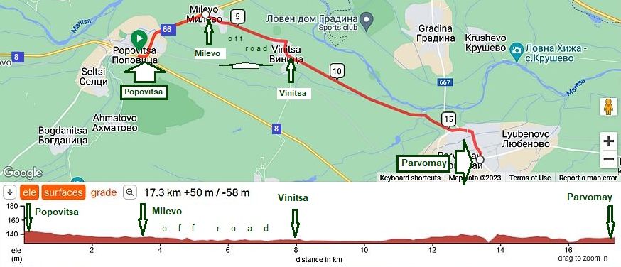
Sector VI. C - 6, route b
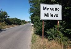
Leaving Popovitsa, hit the road toward Burgas (road 66) to the first village Milevo. |
 |
 |
 |
 |
 |
 |
|
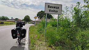
In Milevo turn right toward Vinitsa. The road is after renovation, but not signed, GPS device just here would be useful. |
||
 |
 |
 |
 |
||
 |
 |
 |
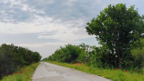
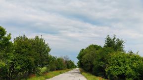
| The road from Vinitsa to Parvomai is not so nice, but still nice for pedaling; again no any traffic here. |
 |
 |
 |
|
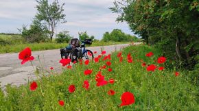
The route is down the stream of Maritsa River, It is very pleasant to be pedaled, it is a calm country side without any traffic. Parvomai is little town appropriate to have a coffee relax in the hot summer days - the only photo I have of the town. Information for it: http://www.guide-bulgaria.com/SC/plovdiv/parvomay/parvomay
Several photos from this small lovely city. |
||
|
|
|
|
|
After Parvomai look for Karadzhalovo, the road is not signed, but it is easy to be found out; it is very calm countryside away from the main roads, without any traffic. |
||
 |
 |
 |
 |
 |
 |
|
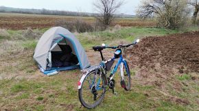
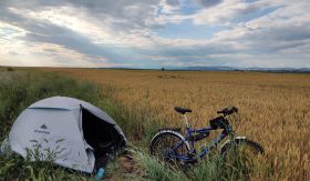
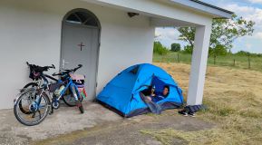
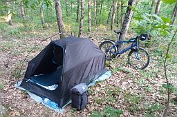
The entire area is very nice to set up a tent; food and water is available in the villages along the road. Most of the pictures are taken in June 2020. |
||
 |
 |
 |
 |
 |
 |
|
Two kilometers north from Stalevo is the railway Sofia - Svilengrad - a nice place to camp in the fields and take on the train in the next morning if the weather forecast is not nice. |
||
 |
 |
 |
 |
 |
 |
|
The highest point of this route after Stalevo and the view toward Dimitrovgrad
|
||
 |
 |
 |
 |
 |
 |
 |
 |
 |
|
Sector VI. C - 6, route c
|
||
|
Route c Another nice opportunity is to pedal toward Chirpan and after to turn toward Dimitrovgrad: From Popovitsa to Milevo to Mirovo to Plodovitovo to |
Chirpan to Zetyovo to Dimitrovgrad. Again, there is a little traffic along this route, entire area is best for pedaling. The next several photos are the countryside from Popovitsa and Chirpan. |
|
 |
||
| As the road 663 from Chirpan to Dimitrovgrad to Simeonovgrad is just after reconstruction, it is in very nice conditions, and taking into account that there is very | little traffic here, I would suggest you to ride just this route in both directions. The next several photos are the area from Popovitsa toward Chirpan. | |
|
|
|
|
|
|
|
|
|
The road from Plodovitovo toward Chirpan crosses a little bit higher field, so back toward Rodopi Mountais a very nice view is revealed. |
||
|
|
|
|
|
|
|
|
|
And several more photos of the same area having emotional value for me from tours I have done in the years. |
||
|
|
|
|
|
|
|
|
|
Overnight accommodations are possible in Chirpan. Information for it and several photos. http://www.guide-bulgaria.com/SE/stara_zagora/chirpan/chirpan |
||
|
|
|
|
|
|
||
|
Before finishing this route in Dimitrovgrad, I'd like to state one more time: 1.The traffic from Plovdiv to Popovitsa is heavy; 2. Avoid E80 as much as possible; 3. For the route from Plovdiv to Chirpan look at Chapter: sector VI. C - 1. Route b. |
The route is: From Plovdiv (road 56) to Skutare (road 565 )to Rogosh to Manole to Manolsko Konare to Shishmantsi to Belozem to Opalchenets to Orizovo to Cherna Gora to (road 664) Chirpan. |
|
|
|
||
|
|
|
|
|
|
|
Zetyovo is a bigger village along the road, food shops are available in it. |
||
|
|
|
|
|
|
|
|
|
|
|
|
|
|
||
|
|
|
|
|
|
|
|
|
|
|
|
|
|
|
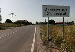
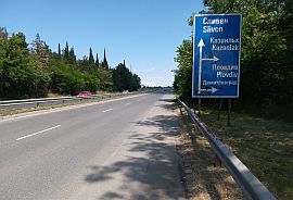
Next town is Dimitrovgrad. A little information for it: http://www.visitbulgaria.net/en/dimitrovgrad/dimitrovgrad.html |
||
|
|
|
|
|
|
|
|
|
|
|
|
|
|
||
|
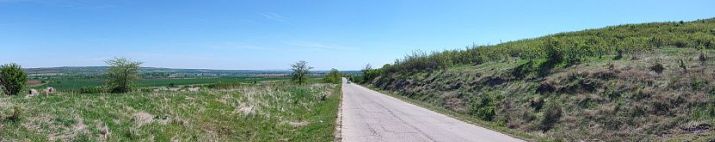
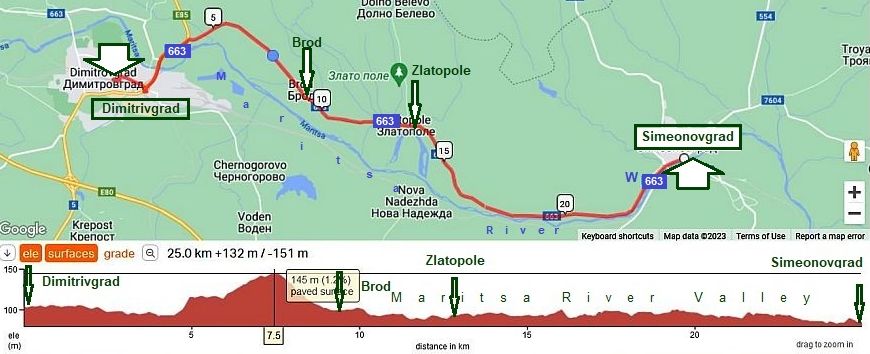
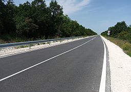
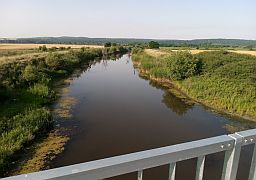
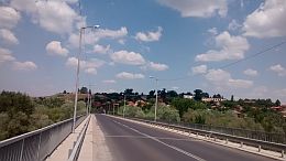
From Dimitrovgrat to Simeonovgrad: The road663 is in very good condition and you will find very little traffic. |
||
|
|
||
|
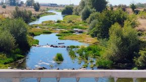
The route follows a pleasant ride down the stream on the Maritsa River to Simeonovgrad. |
Food is available in villages along the road. Pedaling in either direction in this area is really scenic. | |
 |
 |
 |
 |
 |
 |
 |
 |
 |
 |
The same area May'25.
|
 |
 |
 |
|
 |
 |
|
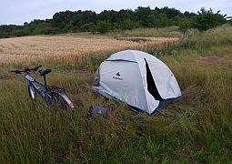
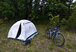
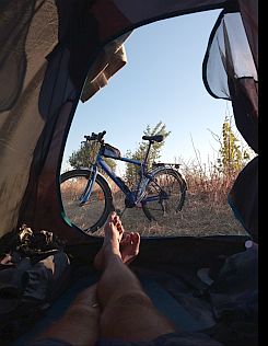
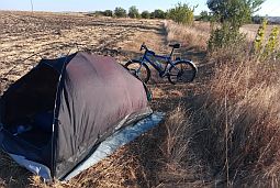
I have pedaled this road often. The area is beautiful to camp in the wilderness. I enjoy setting up my tent on the highest point. |
||
 |
 |
 |
 |
 |
|
|
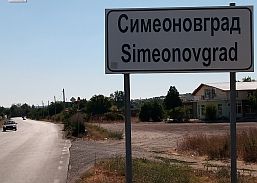
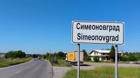
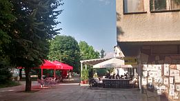
I am not sure if overnight accommodations are available in Simeonovgrad http://www.guide-bulgaria.com/SC/haskovo/simeonovgrad/simeonovgrad |
 |
 |
 |
|
|
||
|
Route B
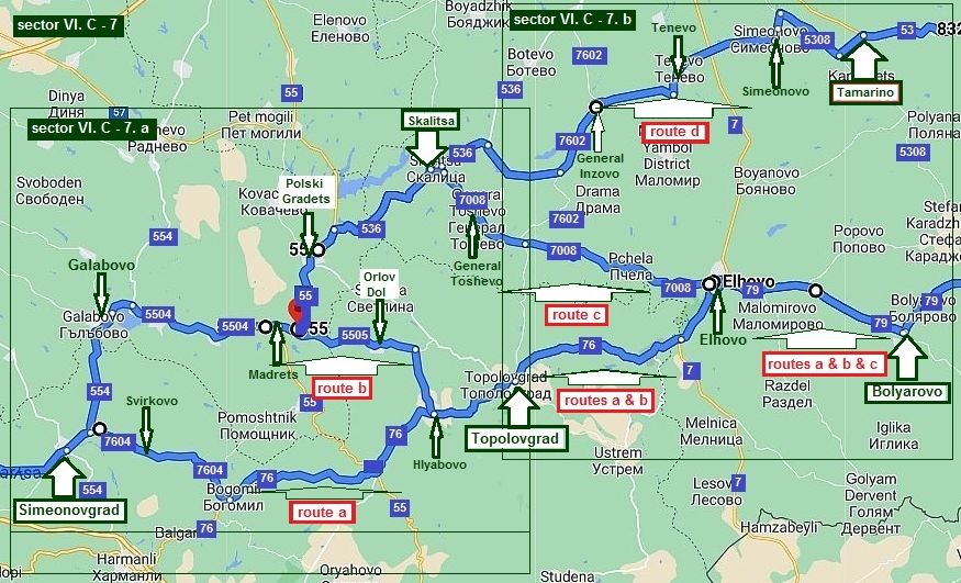
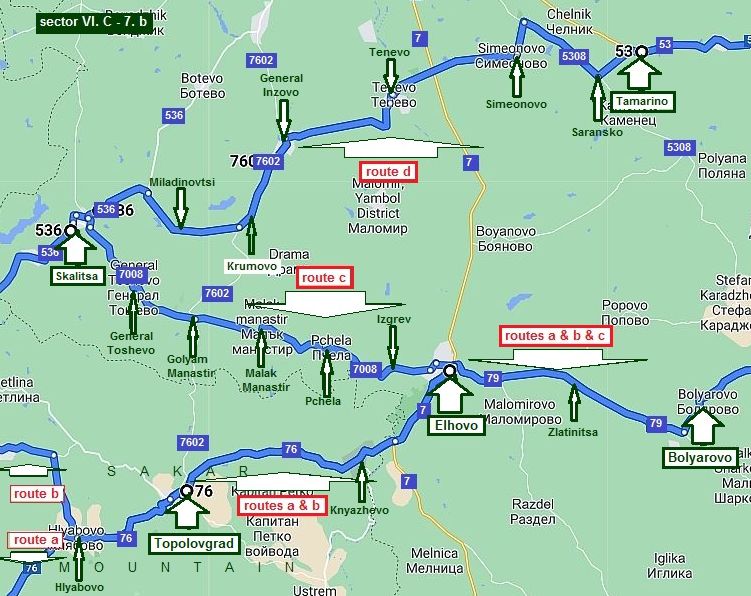
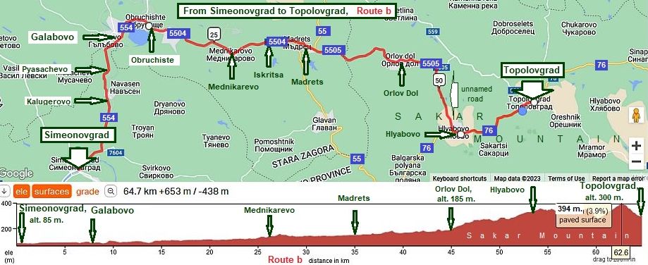
Sector VI. C - 7 From Simeonovgrad to Topolovgrad
|
||
|
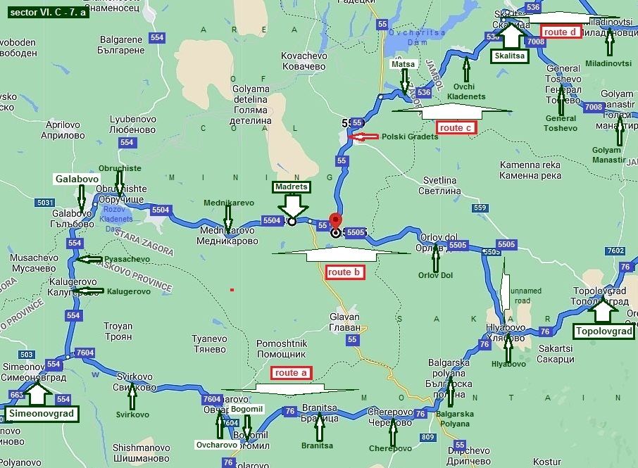
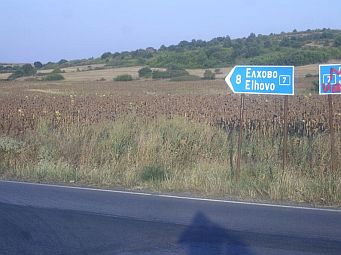
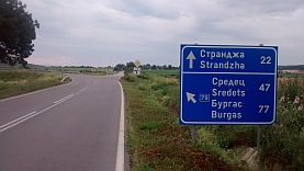
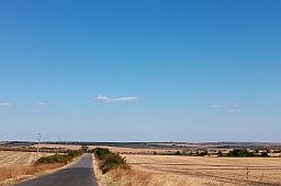
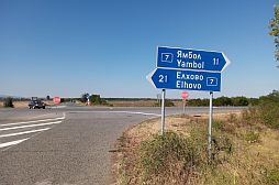
As it can be seen from the map above, more opportunities are available in this sector: Routes a & b: From Simeonovgrad toward Topolovgrad; Routes a & b & c: From Simeonovgrad toward Elhovo to Bolyarovo; |
Route d: From Simeonovgrad toward Skalitsa to Tenevo toTamarino.
For more detail description I will increase the scale, parting Sector VI. C - 7 into two sub sectors. |
|
|
Sector VI. C - 7. a
|
||
|
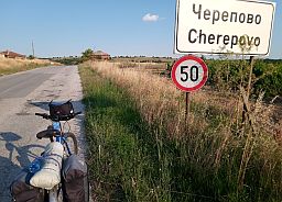
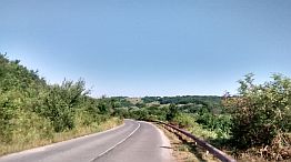
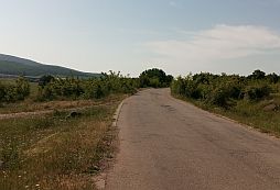
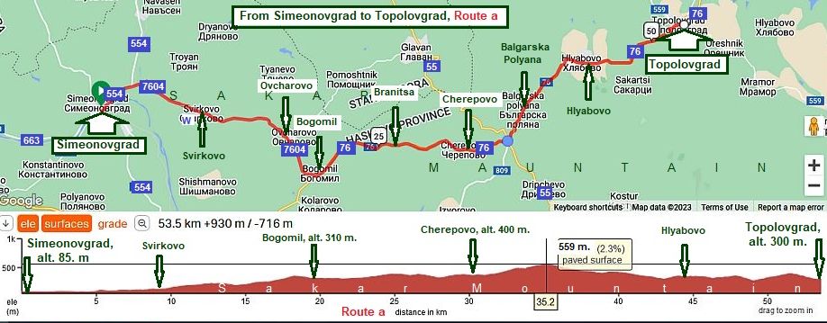
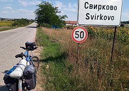
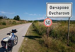
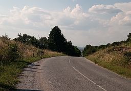
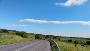
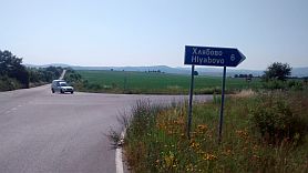
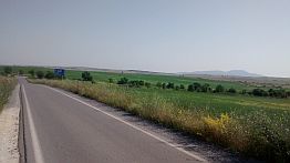
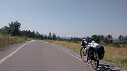
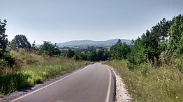
Sector VI. C - 7. a Route a Pedaling here is a great pleasure. It is the area of Sakar Mountain, not a high mountain. The route is: |
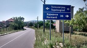
From Simeonovgrad (road 554) to Svirkovo (road 7604) to Ovcharovo to Bogomil (road 76) to Branitsa to Cherepovo to Balgarska Polyana to Hlyabovo to Topolovgrad. |
|
 |
||
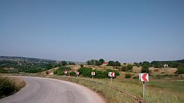
| Yes, the climbing here is relatively longer comparing with the other routes in this sector, but the hills are not steep. From the road profile chart is obvious that the climbing is 480 meters difference in the altitudes for a | distance of more than 35 kilometers. A nice advantage is that here there is not any traffic. Another advantage is that route is away from the large zone of mining along the next route (route b). | |
 |
 |
 |
|
Six - seven kilometers after Simeonovgrad there is a nice water spring with beautiful cool water. This spot is the |
best place to relax in the hot summer afternoons - in this area the summer afternoons are really hot. |
 |
 |
 |
 |
 |
 |
 |
 |
 |
|
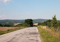
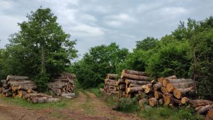
I do not remember, but I think food shops are available in the villages along the road. In Cherepovo, I supplied myself with food just before setting up my tent. |
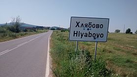
In Balgarska, Polyana, and Hliabovo food shops are available. The route hete is in Sakar Mountain |
 |
|
 |
|
|
|
|
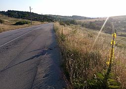
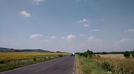
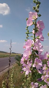
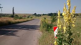
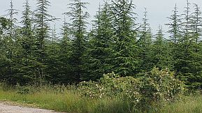
The route here is in Sakar Mountain, a part of it is a National Reserve. Some information about it: https://en.wikipedia.org/wiki/Sakar_(mountain) Next photos are the same area between Cherepovo and Balgarska Polyana, May 2024. |
||
 |
 |
 |
 |
 |
 |
|
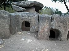
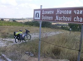
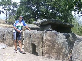
Just before Hlyabovo is a dolmen called "Nachovi Chairi". It is the biggest one found in Bulgaria. If my information is true, there were more than 600 such |
objects in Bulgaria. Unfortunately, they were destroyed by treasure hunters. |
 |
 |
 |
 |
 |
|
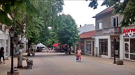
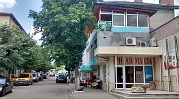
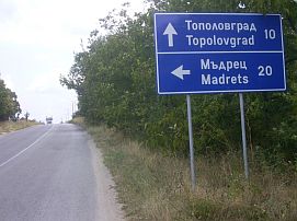
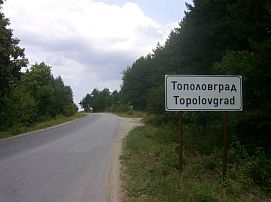
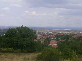
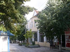
Very little information for Topolovgrad is available here: |
I am not sure if overnight accommodations are available in the little town, but there is a nice coffee place in the shade and free wifi. |
 |
 |
 |
 |
 |
 |
 |
 |
 |
 |
 |
 |
|
|
||
|
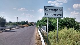
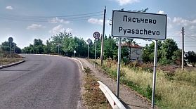
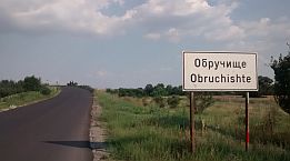
Sector VI. C - 7. a Route b The route is: From Simeonovgrad to Kalugerovo to |
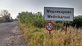
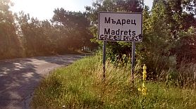
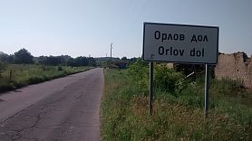
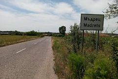
Pyasachevo to Galabovo to Obruchiste to Mednikarevo to Iskritsa to Madrets to Orlov Dol to Topolovgrad. |
|
 |
||
|
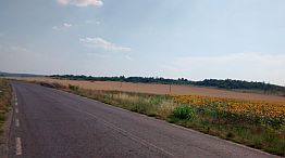
I prefer this route when I am pedaling from Burgas to Plovdiv. Next several photos are the countryside from Simeonovgrad to Galabovo.The traffic can build up. But, it is not dangerous. |
||
|
|
|
|
|
|
|
|
|
|
|
 |
||
 |
 |
 |
|
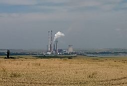
Overnight accommodations in Galabovo are available (the first photo below). Very little information for Galabovo can be seen here: |
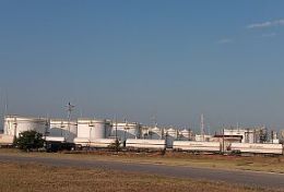
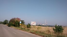
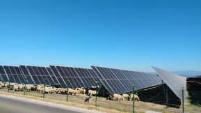
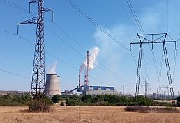
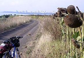
The area between Radnevo and Galabovo is a zone of coal mining. Three big steam electricity plants operating here producing more than 40% of the electricity for the country. |
 |
 |
 |
 |
 |
|
 |
 |
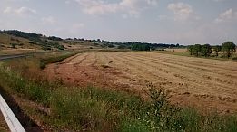
| Next photos illustrate the countryside from Galabovo to Madrets. The entire area is nice for camping in the wilderness. Food and water can be found in the small villages along the road. There are 3 - 4 rolling hills here, but the pedalling is not hard at all. |
The area between Galabovo and Madrets is a zone of coal mining, 3 big steam electricity plants are operating here, giving more than 40% of the electricity in the country. |
|
|
|
|
|
|
|
|
|
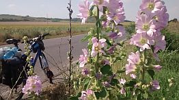
The next several photos illustrate the beautiful countryside: From Madrets to Orlov Dol to Hlyabovo to Topolovgrad. |
|
Again, it is a very nice route; a road without any traffic. I do not remember if in Orlov Dol there was a food shop, but I remember it is a dry area, so bring water with you. In Hlyabovo food is available. |
|
|
|
|
 |
 |
 |
 |
 |
 |
 |
 |
 |
|
|
||
 |
||
|
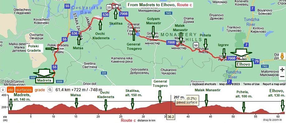
Sector VI. C - 7. a Route c This route misses Topolovgrad. It connects Simeonovgrad and Elhovo, in the map above shows only a part of it (to Skalitsa). In the next sector I will continue. |
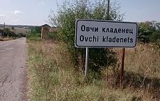
As in the previous item (the route 2) I have shown the road profile chart from Simeonovgrad to Madrets, next I show only the road segment from Madrets to Elhovo. The route is: From Simeonovgrad to Galabovo to Madrets to Polski Gradets to Matsa to Ovchi Kladenets to Skalitsa. |
|
 |
||
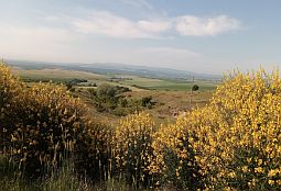
| The road profile chart shows this hilly area. A longer hill here is from Skalitsa toward General Toshevo. The pedaling is not hard at all, although summer | afternoons here are quite hot. In all the villages along the road food and water are available. | |
 |
 |
 |
|
|
 |
|
 |
 |
 |
 |
 |
 |
|
|
||
|
Sector VI. C - 7 From Simeonovgrad to Topolovgrad
Sector VI. C - 7. b
|
||
|
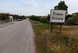
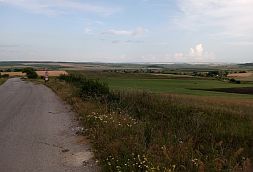
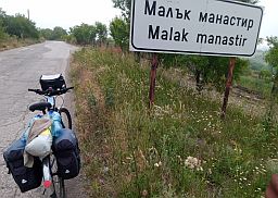
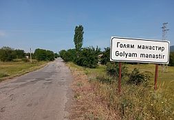
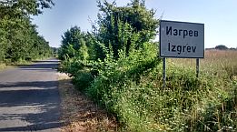
Sector VI. C - 7. b: Route c First, I will finish with the route c from the previous section. We followed the route from Simeonovgrad |
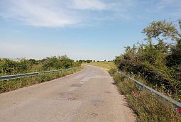
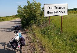
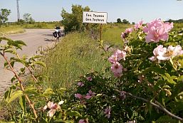
to Skalitsa; now, this sector finishes in Elhovo: From Skalitsa to General Toshevo to Golyam Manastir to Malak Manastir to Pchela to Izgrev to Elhovo. |
|
|
|
||
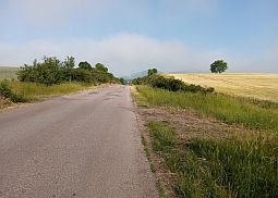
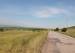
|
This area is called Monastery Hills. Climbing here is approx 150 meters. The next several photos taken in June '20, shows the area from Elhovo toward Madrest. |
||
 |
 |
 |
 |
 |
 |
 |
 |
 |
| Food and water are available in the villages along the road. | ||
 |
 |
 |
 |
 |
 |
|
|
|
|
|
Sector VI. C - 7. b
|
||
|
In the sector VI. C - 7. a it was shown that at Hlyabovo both routes a and b are joining, so the next route toward Elhovo is: |
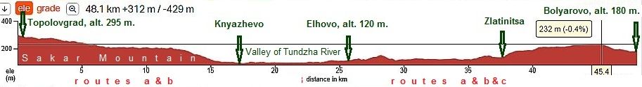
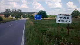
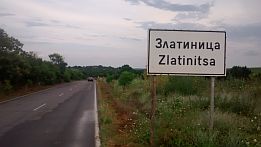
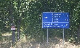
Routes a & b From Topolovgrad to Knyazhevo to Elhovo (+ route c) to Dobrich to Zlatinitsa to Bolyarovo. |
|
 |
||
|
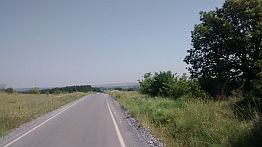
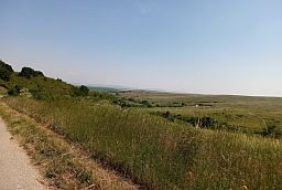
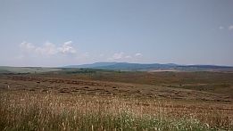
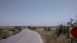
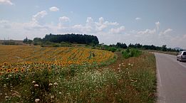
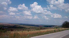
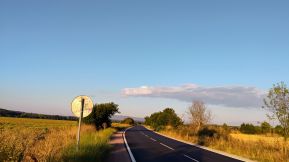
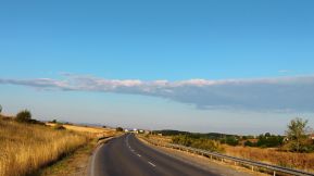
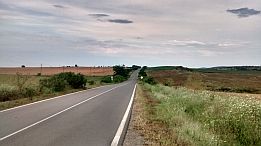
The next several photos show the countryside from Topolovgrad to Elhovo. The second photo below shows the view toward Monastery Hills, from Sakar Mountain. |
|
The road is very nice, hardly no traffic. Food and water are available in Knyazhevo. |
|
|
|
|
 |
 |
 |
 |
 |
 |
|
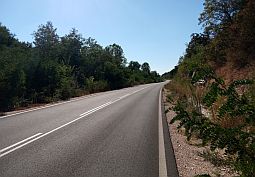
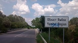
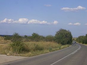
The next several pictures are illustrate the road N7, just after Knyazhevo toward Elhovo. The traffic here is intensive. |
 |
 |
 |
 |
 |
 |
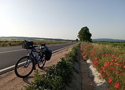
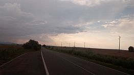
Toward Elhovo, August '25.
|
 |
 |
 |
|
 |
 |
|
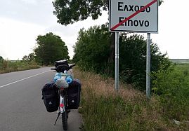
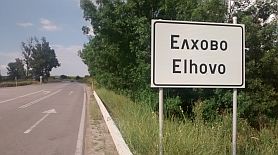
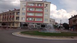
Very little information about Elhovo is available here: https://en.wikipedia.org/wiki/Elhovo http://www.guide-bulgaria.com/SE/yambol/elhovo/elhovo |
||
 |
 |
 |
 |
 |
 |
|
In the sector VI. C - 7. b it is seeing that all the routes a, b and c are joining at Elhovo, so the next route toward |
Bolyarovo is: Routes a & b & c From Elhovo to Dobrich to Zlatinitsa to Bolyarovo. |
|
|
|
||
|
The road is in very nice condition, no traffic here. Bring food with you if necessary, in Zlatinitsa there is not a food shop. |
||
 |
 |
 |
 |
 |
 |
 |
 |
 |
| Several more photos of the same countryside taken in the middle of May '22. | ||
 |
 |
 |
 |
 |
|
|
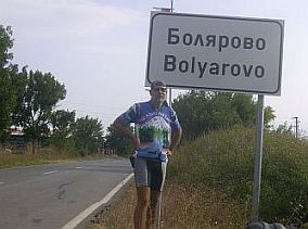
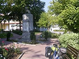
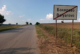
Overnight accommodations in Bolyarovo can not be found easily. Information for Bolyarovo: http://www.guide-bulgaria.com/SE/yambol/bolyarovo/bolyarovo Free wi fi is available in the coffee in the center of the little city. |
 |
 |
 |
|
|
||
|
Sector VI. C - 7. b
|
||
|
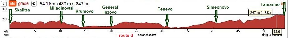
Sector VI. C - 7. b: Route d
I will continue with the last opportunity in this region: |
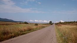
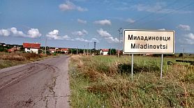
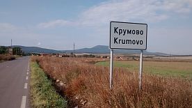
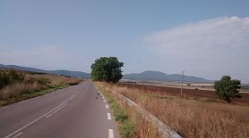
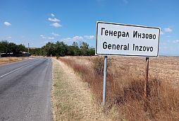
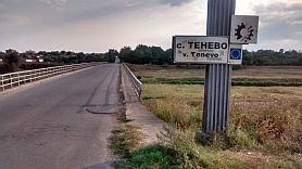
Route d From Skalitsa to Miladinovtsi to Krumovo to General Inzovo to Tenevo to Simeonovo to Saransko to Tamarino. |
|
|
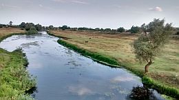
The road crosses not deep valley of Tundzha River (at Tenevo). |
||
 |
 |
 |
 |
 |
|
|
The road from Krumovo to Miladinovtsi is not signed well. |
||
 |
 |
 |
 |
 |
 |
 |
 |
 |
|
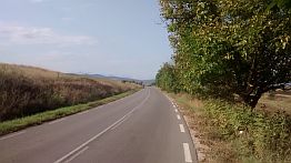
The road from Tenevo to Simeonovo to Saransko to Tamarino, more than 20 kilometers, is up hill. It is not steep, but it looks endless and it is really tough to pedal |
on hot summer days. There isn’t any shade. Temperatures often reach 40 deg C in the summer. Bring water. |
 |
 |
 |
 |
 |
 |
|
A nice spot is available in the next village, Tamarino. There you can find a motel & restaurant and very nice swimming pool. |
||
|
|
|
|
|
|
||
|
|
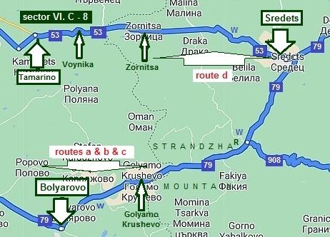
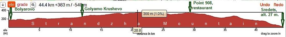
Sector VI. C - 8 From Bolyarovo to Sredets
In this sector I will describe routes a & b & c and route d toward Sredets, where all they are joining.
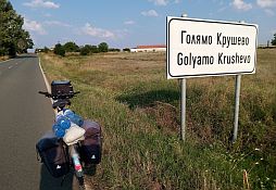
Routes a & b & c From Bolyarovo to Golyamo Krushevo to Sredets.
|
|
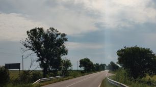
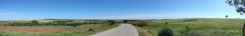
This segment is very pleasant for pedaling. Starting with fields, then some hills, and finely recognizing the road is in very nice condition. After Bolyarovo, you will enter the Strandhza Mountains. The climb is difficult at all, nature has been saved, and the scenery is perfect. On the map I have shown a spot with a restaurant and water spring (the point 908 on the map above). Most of this area is Strahdzha Nature Park. It is the largest protected area on the territory of Bulgaria that |
|
stretches over 1161 sq km. It was declared a protected area in 2000. It is located in the south-eastern part of country, its southern border coincides with the Bulgarian border with Turkey, and it spreads as far as the Black Sea Coast to the east. The Nature Park lies on the territory of Strandzha Mountain which spreads in both Bulgaria and Turkey. More information for it can be seen here: |
|
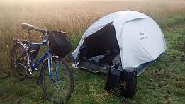
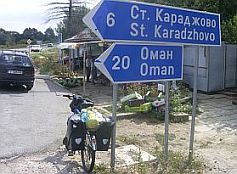
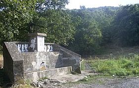
Six, seven kms east from Bolyarovo there is a water spring, just at the crossroad toward St. Karadzhovo. |
||
 |
 |
 |
 |
||
|
Although I have pedaled this road many times, I do not remember if food is available in Golyamo Krushevo. |
At the highest point of this route segment there is a restaurant. |
 |
 |
 |
|
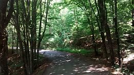
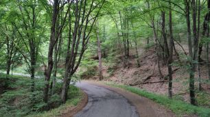
After Golyamo Krushevo the road enter Strandzha Mountain. The road is in very nice condition, hills are not steep, a shade is available as well. |
 |
 |
 |
 |
 |
 |
| The same area, middle of May ' 22. | ||
 |
 |
 |
 |
||
 |
||
|
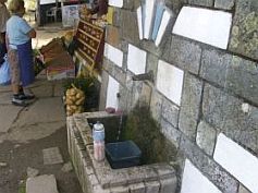
At the crossroad with road 908 on the map above there is a water spring and a restaurant. It is a very nice spot to relax for a while. |
||
 |
||
 |
 |
 |
|
Once reaching the highest point, it follows 20 kilometers downhill pedaling toward Sredets. In the reverse direction the route is not hard either. |
||
 |
 |
 |
|
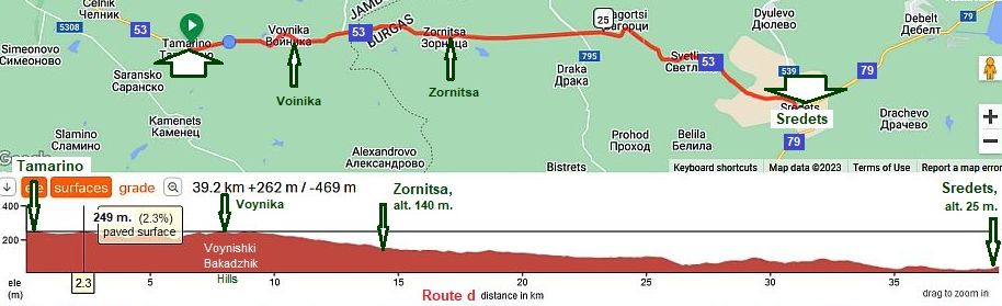
Route d: From Tamarino to Voynika to Zornitsa to Sredets.
|
||
| In the previous item I finished route d in Tamarino, mentioning the motel & restaurant and very nice | swimming pool, a place appropriate to spend a night, or relax in the hot summer day. |
|
|
|
|
|
The next several photos are towards Zornitsa. The road segment from Tamarino toward Sredets has not been maintained, drivers definitely avoid this road segment, which makes pedaling a pleasure and safe. |
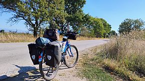
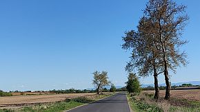
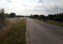
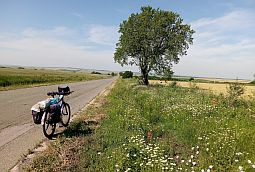
The area is almost flat with no high rolling hills. In the hot summer days pedaling here can be a little tough. Food and water is available in the villages along the road. |
 |
 |
 |
| The same point, countryside in August and early June. | ||
 |
 |
 |
 |
 |
 |
|
The next photos illustrate the countryside toward Sredets. I love this area to the middle of June. Later, the sun dries everything and the scenery turns yellow. |
brown as it can be seen from the photos below, taken in September '20. |
 |
 |
 |
 |
 |
 |
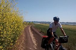
| The same area in the middle of May ' 22. | ||
 |
 |
 |
|
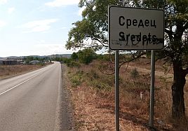
Overnight accommodations are available in Sredets - just before enter from Zornitsa. Information for Sredets: http://www.guide-bulgaria.com/se/bourgas/sredets/sredets |
||
 |
 |
 |
|
|
|
|
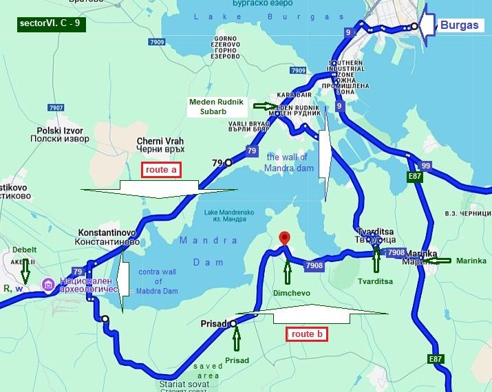
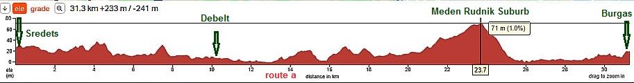
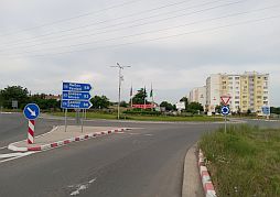
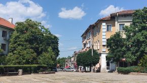
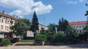
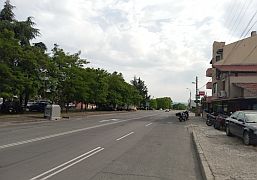
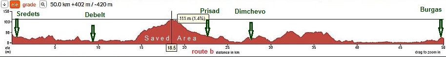
Sector VI. C - 9 From Sredets to Burgas
Route a It is road 79 from Sredets to Burgas.
The traffic from Sredets to Burgas is relatively intensive, but the road is well maintained and wide.
|
|
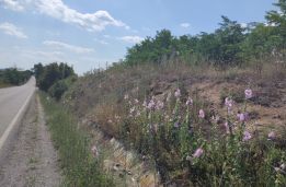
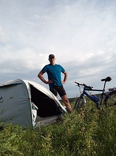
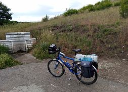
Several photos from this area - a spring of fresh water just after Sredets and my camp place next to it. At Debelt just next to the road there is a restaurant. |
|
|
|
|
|
|
|
|
|
|
|
|
|
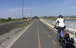
Entering in Meden Rudnik Suburb you will see a bike lane, pedalling along it you will reach the Line Station in Burgas and the Sea Garden. |
||
 |
 |
 |
|
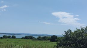
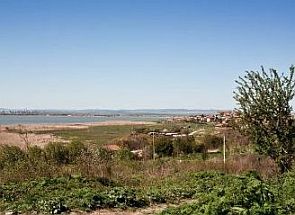
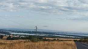
Pedalling further toward Burgas, from the left id the Lake of Burgas. Information for it: |
||
 |
 |
 |
|
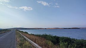
Route b And the last opportunity I will mention here is the road surrounding Mandra Dam from the south (road 7908). |
In summer of '17 I explored this area here are a lot of biting flies. They are terrible pedaling up the hill. The road in the saved area is in poor condition. |
|
 |
||
|
Food and water are available in Dimchevo. Several photos of this area. |
||
 |
 |
 |
 |
 |
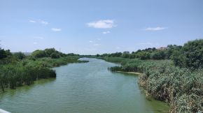
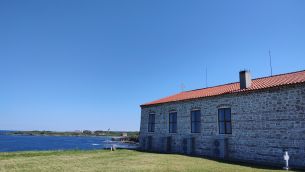
| Toward Burgas - the wall of Mandra Dam. Information for Mandra Dam and Reserve "Poda": | ||
 |
||
 |
 |
 |
|
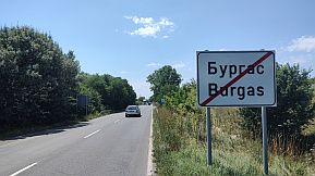
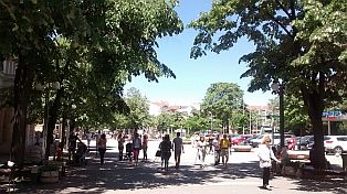
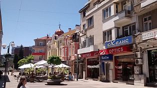
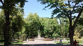
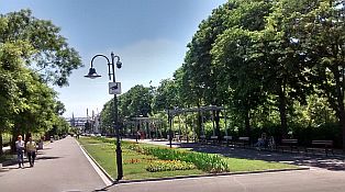
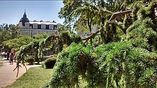
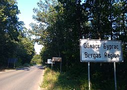
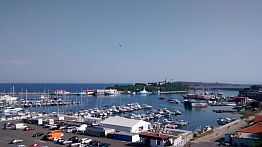
Burgas is a big Bulgarian town at the sea coast. I love its Sea Garden. Information for Burgas: |
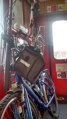
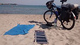
Some of my tours finish in Burgas, and I go back home by a train; at Burgas Rail Station it is possible to load bikes on the train. The train is there an hour to its departing, Several photos from Burgas and its Sea Garden: |
|
|
|
|
|
|
|
|
|
|
|
|
|
|
|
|
|
|
|
|
|
|
|
 |
 |
 |
 |
 |
 |
|
Toward Burgas Airport
Entering Burgas (Meden Rudnik Suburb) from Sredets you will see a velo lane on your right. The velo lane will lead you to Burgas Line Station, Burgas Port, Burgas Sea Garden and Sarafovo where you will locate the Burgas Airport. If you arrive late in the evening or leave the town early in the morning by a plane, you can find a hotel next to Burgas Airport in Sarafovo, placed 5 min walking to the airport. The Map in left shows the way you can reach Sarafovo from Burgas. No problem to use the motor road, but the traffic there is crazy.
The home page of the Burgas Airport: https://www.flightradar24.com/data/airports/boj
The next 3 photos are the velo lane next to the beach toward Sarafovo. |
||
 |
 |
 |
|
Leaving the velo lane, you will climb toward Sarafovo - you can not be wrong, a lot of bicyclists permanently pedal this distance. Sarafovo is in front of you. |
In the back direction, you have to enter in Sarafovo and in its center you have to turn right. Soon you will be in the field, away in front of you will see Burgas. |
 |
||
 |
 |
 |
|
|
||
|
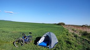
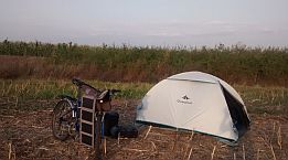
On the map above I have pointed the nice area for camping in the wilderness. Many times I camped there - |
on the beach, near the old military bunker or in the field next to Atanasovsko Lake. | |
 |
 |
 |
|
For the back route from Burgas to Plovdiv, I recommend the route: From Burgas to Sredets to Tamarino to Skalitsa to Madrets to Simeonovgrad to Dimitrovgrad to Chirpan to Popovitsa to Plovdiv. |
||
|
|
||
 |
||
|
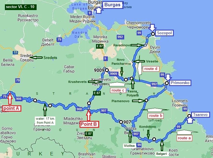
Sector VI. C - 10 I will expand a little my description including here routes toward the south part of the Black Seaside toward Tsarevo, Primorsko and Sozopol avoiding the traffic. You will have no problem to reaching Burgas from these points. On the map above I have shown |
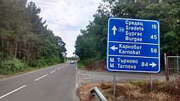
possible routes to reach different points on the seaside. The next routes are for more adventurous bicyclists. The next route is a bypass from road 79 (from Bolyarovo toward Burgas) to road E 87 (from Burgas to Border Checkpoint Malko Tarnovo - BG / Turkey Border). |
|
|
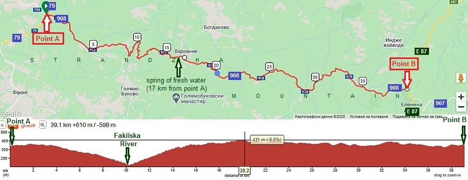
The distance from point A to point B
|
|
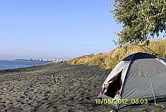
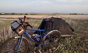
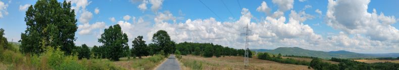
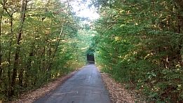
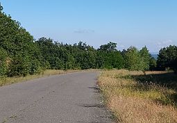
For forty kilometers you will be pedaling in a wooded wilderness; the longest distance in the wilderness in Bulgaria. It is very nice mountain road with hardly any auto traffic at all. The road is labelled in Point A (road 79). The road is in poor condition, but nice for pedaling. Bring food and water and food with you. Have in mind that the village of Varovik is almost deserted. |
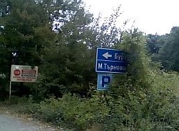
Have a spray against dogs! Carry dog spray! The careful readers have remembered that at the point A , on the map above, you will find a restaurant. If you head to the right (the first photo below - toward Malko Tarnovo), after 40 kilometers you will be on the road E 87 (Point B). The road is signed well, no way to get lost. More photos of this beautify area. |
 |
 |
 |
|
|
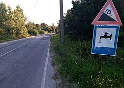
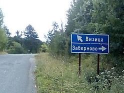
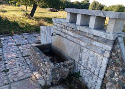
Seventeen kilometer after the crossroad (point A) you will see a nice tap of drinkable water, the only one on the route to Vizitsa. It is the best place to wash all of your equipment, refresh and relax for a while.
|
|
 |
 |
|
 |
 |
|
|
||
|
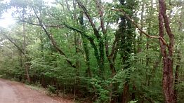
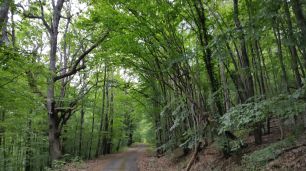
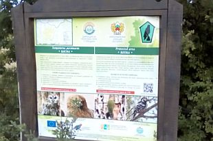
The entire area is a National Reserve. Everywhere you will see very informative signs about the area. Never |
mind this area is a Reserve, the camp in the wilderness is possible. Don't be afraid by the jackals weep in the night. | |
 |
||
 |
 |
 |
 |
 |
 |
|
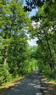
More photos of this area taken in May '22. Everywhere the foliage is so beautiful. |
||
 |
 |
 |
 |
 |
|
 |
 |
|
 |
 |
 |
|
|
||
|
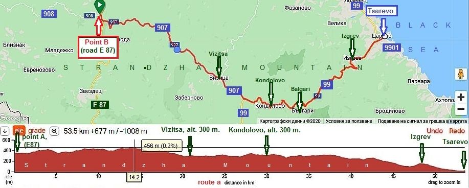
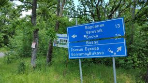
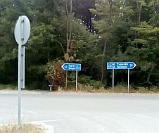
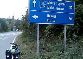
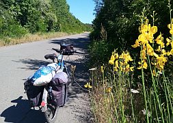
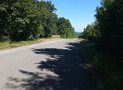
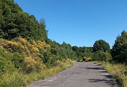
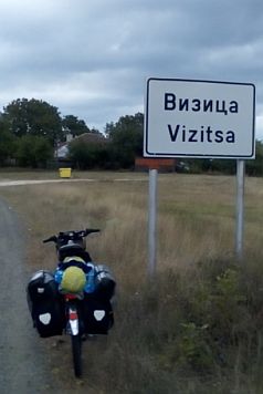
Next I will give several routes to reach different points at Black Seaside avoiding the traffic. Route a: From Point B to Vizitsa to Kondolovo to Balgari to Izgrev to Tsarevo.
|
|
Point B (E87) is easy to recognize. E87 it is an international road from Turkey to Bulgaria. It is an international road, but not many people use it. E87 is |
appropriate to pedal toward Burgas as well. The next photos are the place for leaving the Road 908 and signs toward Vizitsa (Road 907) and Tsarevo. |
 |
 |
 |
 |
 |
 |
|
The next three photos are the countryside toward Vizitsa along the local road 907. |
||
 |
 |
 |
|
In Vizitsa, you will find nether food nor coffee. There is a tap of drinkable water available in Vizitsa. |
||
 |
 |
 |
 |
 |
|
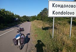
|
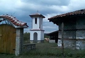
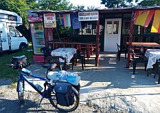
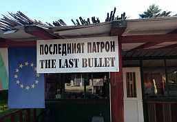
The next village is Kondolovo. Entering you will see a little restaurant called "The Last Bullet". The owner of the restaurant is the local major. He is very friendly man. Next to the restaurant is his home, a little chapel, spring of |
fresh water and a meadow, where you can set up your tent. He told me, that bicyclists are camping regularly at this nice spot. Soon there will be a shower too. |
 |
 |
 |
 |
 |
 |
| Toward Izgrev and Tsarevo. | ||
 |
 |
 |
 |
 |
 |
|
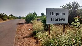
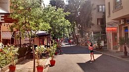
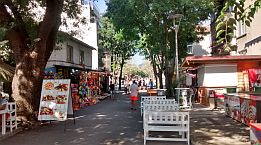
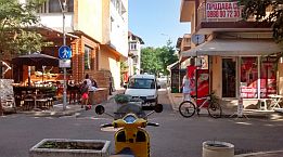
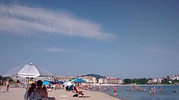
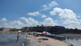
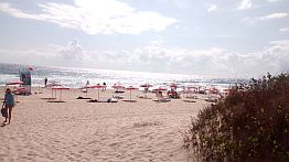
Tsarevo has a lovely lane along the sea with nice coffee places to relax and enjoy the view. Information and several photos from Tsarevofor Tsarevo: https://bulgariatravel.org/en/tsarevo/ |
 |
 |
 |
 |
 |
 |
|
There is a nice beach is south from Tsarevo, Nestinarka. Next several photos are the road toward Nestinarka Beach and the beach itself. |
 |
 |
 |
 |
 |
 |
 |
 |
 |
| Summer 2022 in Carevo | ||
 |
 |
 |
 |
 |
 |
 |
 |
 |
 |
||
|
Sector VI. C - 10
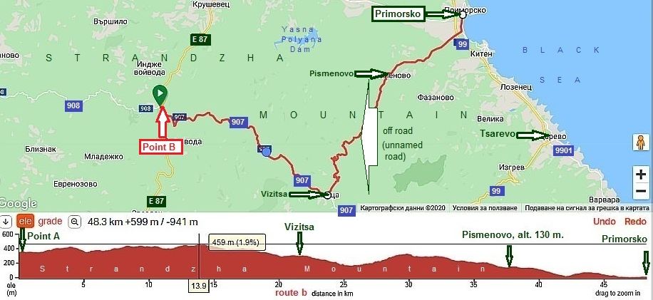
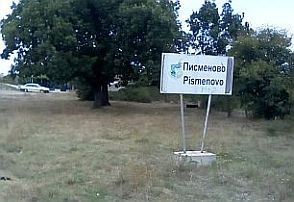
Route b The next route is for more adventurous bicyclists loving off road: Vizitsa to Pismenovo - off road. From Point B to Vizitsa to Pismenovo to Primorsko.
|
||
 |
 |
 |
 |
 |
|
|
Pismenovo is a bigger village. In the summer people come to this village to relax on the local beaches. Food, water, even overnight accommodations are available here. |
||
 |
 |
 |
|
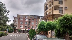
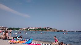
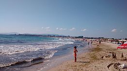
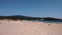
Primorsko is a popular resort due to its very nice beaches. Always is possible to find out overnight accommodation here. Information for Primorsko: |
https://bulgariatravel.org/en/primorsko/ |
|
|
|
|
|
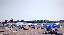
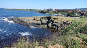
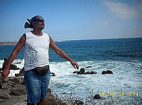
The next several photos are of the beach placed north from Primorsko, one of the best beaches among our seaside. |
||
 |
 |
 |
|
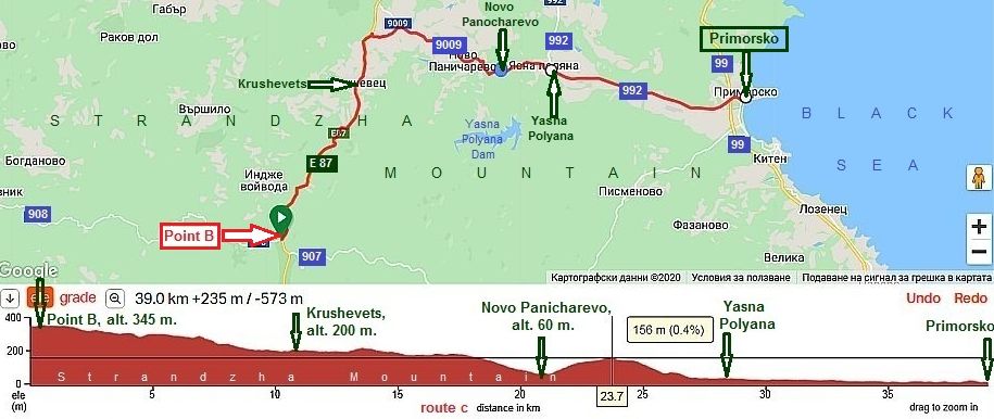
Sector VI. C - 10
|
||
|
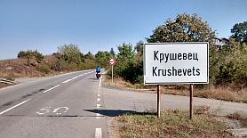
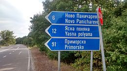
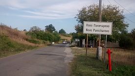
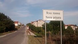
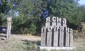
Route c Another approach to Primorsko is the road E87: From Point A to Vizitsa to Krushevets to Novo Panichareci to Yasna Polyana to Primorsko.
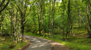
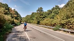
Another road segment which is very nice for pedaling especially in this direction. Food and water are available in Krushevets and Yasna Polyana. |
||
 |
 |
 |
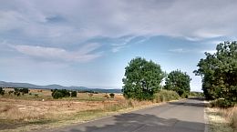
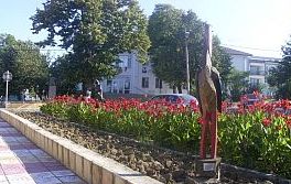
| The next several photos are the countryside toward Novo Panicharevo, Yasna Polyana and Primorsko. | ||
 |
 |
 |
 |
 |
 |
|
|
||
|
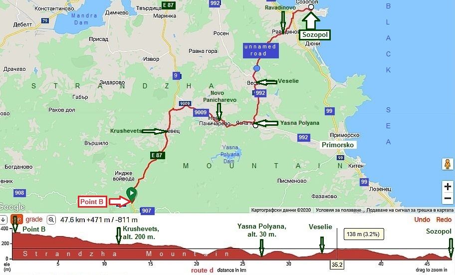
Sector VI. C - 10
|
||
|
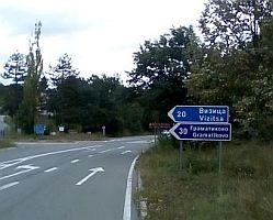
Route d Sozopol is a nice place to visit in the tourist season. From Point A to Vizitsa to Krushevets to Novo Panicharevo to Yasna Polyana to Veselie to Ravadinovo to Sozopol. |
Like other places I have mentioned, there is hardly any traffic. The road segment from Yasna Polyana to Sozopol is one of the segments I have not pedaled. | |
|
|
||
|
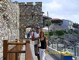
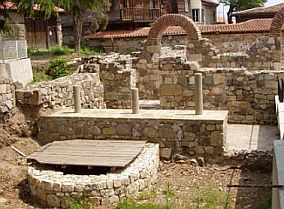
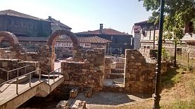
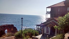
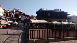
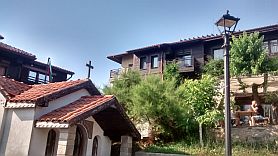
Sozopol is an ancient town and it is worth spending an afternoon walking the area, relaxing, and having a beer or coffee. A lot of information for Sozopol is |
available here: https://en.wikipedia.org/wiki/Sozopol |
 |
 |
 |
 |
 |
 |
|
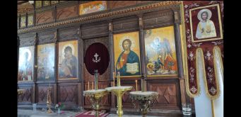
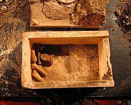
Entering in the old part of Sozopol, you will see a church holding relics of John the Baptist. They were discovered several years ago during archaeological excavations of the ancient Byzantine church remains under the authority of a prominent Bulgarian Professor and Archaeologist. Two independent tests of the bones were carried out in Universities of London and Copenhagen. |
DNA analysis showed that these were the bones of a human - a man who lived in the Levant at the beginning of the new era. More information for it can be seen here:
http://edition.cnn.com/2010/WORLD/europe/08/12/ bulgaria.john.baptist.relics/index.html
https://en.wikipedia.org/wiki/Beheading_of_St._John_the_Baptist |
 |
 |
 |
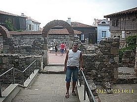
| Mere photos from Sozopol. I love to have a cup of coffee here, but that's all. I do not love overcrowded areas. | ||
 |
 |
 |
 |
 |
 |
|
In the Chapter IV. Bicycling along Black sea side you can see a lot for Black Seaside.
|
.jpg)