|
|
||
.jpg) |
|
.jpg) |
|
|
||
|
|
||
.jpg) |
|
.jpg) |
|
|
||
|
VII. NICE ROUTES IN MOUTAINS |
|
RODOPI Mountains
|
|
Most of the people living in the region of Rodopi Mountain are Muslims. They are friendly, peaceful and very workable people, they will be enjoyed to see bicyclists touring in this region. We are living together with them without any problems. People are very kind, several times an ordinary people invited me to spent a night in their home because it was powering rain. One time I was totally wet I was not able to refuse the invitation. |
Rhodope (Rhodopi, Rodopi, Rhodopy - you will see different transcriptions) Mountains is placed in southern Bulgaria and northern Greece, it is a part of the Rila-Rodopi massif. It is the most extensive mountain range in Bulgaria and occupies about one seventh part of the Bulgarian territory. Its length is approx 220-240 km and has a width of 100 km. The total area of the Rodopi Mountains is about 18 000 km2, of which Bulgarian territory is 14 738 km2; it is 81.88% of the total mountain area. |
|
|
Always when explore Rodopi mountains, bring with you a spray against dogs ! Rodopi Mountain is divided in two parts (the green line on the map): Western Rodopi Mountain and Eastern Rodopi Mountain. |
||
|
|
||
|
Western Rodopi Mountain cover an area of 8732.1 km2 (approx 60% of mountain area) and here is the higher part of the mountain Goliam Pesenk, having altitude of 2190 m. The average altitude of this mountain part is 1100 meters. Eastern Rodopi Mountain cover an area of 6005.4 km2 (or 40%), it is the lower part of the mountain. The average altitude here is only 329 m, i.e. more than three times lower than the Western Rodopi. Nearly three quarters of Eastern Rodopi area (71.5%) are occupied by a land with an altitude between 200 and 600 m. While keeping his massive mountain nature, Eastern Rodopi are dissected by broad valleys, in alternating narrow gorges. Ridge of the mountain are less fragmented and have leveled look. In the Western Rodopi, because of the high altitude mountain climate prevails. The climate there is tempered by warm Mediterranean air masses penetrating along river valleys. This climate mitigation is more noticeable in the Eastern Rodopi, because there the altitude is less and river valleys offer an easy way for warmer air coming from the south. |
In the Western Rodopi the Mediterranean influence is less, and in the East - stronger, as evidenced by both average year temperature and average rainfall for five meteorology stations: Velingrad 9°C, 550 mm; Smolyan 8,5°C, 981 mm; Zlatograd 10,9°C, 986 mm, Kardzali 12, 5°C, 663 mm; Ivaylovgrad 12,7 C, 736 mm. In the Western Rodopi rainfall is mainly during the summer months, while in the east - in the winter. My favorite part is Western Rodopi Mountain, each year I have several day tour in this area. I did not find time to explore eastern part of the mountain (except not big area near Kardzali) – it is the only corner of the country I still did not explore. So, my further description will be only for the western part of the mountain. More information for Rodopi Mountain:
https://en.wikipedia.org/wiki/Rhodope_Mountains https://bulgariatravel.org/en/the-rhodope-the-mountain-of-orpheus/ |
|
|
WESTERN RODOPI MOUNTAIN |
||
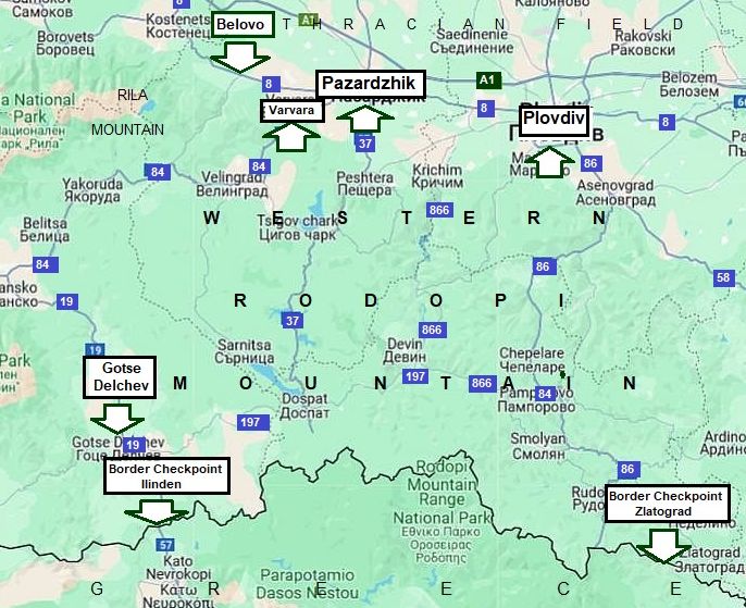
The map in leftshows points convenient to be used as a bases when you start exploring the Western Rodopi Mountain.
If your tour starts from Sofia and you intend to cross the Mountain from north to south, appropriate places are Belovo, Varvara, Pazardzhik and Plovdiv. Have in mind the traffic in Plovdiv is very busy.
If you enter in Bulgaria from Greece such places are border checkpoint Ilinden and border checkpoint Zlatograd respectively. Needless to say, overnight accommodations are available in all these places.
|
|
|
|
Some initial tips having in mind exploring of Rodopi mountains.
A. Pazardzhik (Pazardjik) as a base point to explore Rodopi Mountain.
According to me, Pazardjik is very appropriate to be regarded as an initial/end point, when the question is about routes in Rodopi Mountain.
It is not as big as Plovdiv. Most importantly, the traffic in it also is not as intensive as in Plovdiv. It is easy to orientate in it, nice hotels and restaurants in the area are at acceptable prices. In the link below more information concerning this town is available, I will not write about it here. http://en.wikipedia.org/wiki/Pazardzhik
http://www.guide-bulgaria.com/SC/pazardjik
For accommodations in Pazardzhik, I would recommend Hotel Acropolis: http://acropolispz.com/index_eng.htm Pazardjik, Boul. „Hristo Botev“ 17, tel.: 034/45 10 45; cell tel: 0898 662 702, e-mail: acropolispz@abv.bg
|
|
Everywhere in the city there are a lot of labels which will lead you to the hotel, you easy will recognize the place seeing the red bicycle lane in front of it.
It would be nice to stay and relax here for a night, because: - It is very easy to find; - - The hotel can be recognized easily by the new red bicycle lane just in front of it the right side of the street going to North (the photos below); - - The hotel is clean, the rooms are air conditioned, which is important in this town, where summer temperatures often are more than 40 deg C; - Opinions of the hotel guests are very nice; - - The hotel restaurant offers nice dishes, the staff speak very good English; - The hotel has good Wi Fi; - - There is easy access to a free room for bicycle and pannier storage. |
||
|
|
|
|
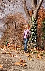
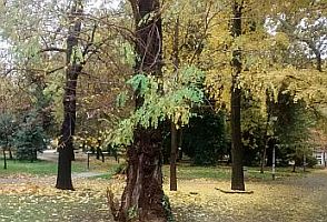
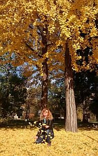
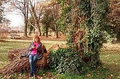
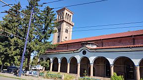
| Several photos of Pazardzhik and its town garden. | ||
|
|
|
|
 |
 |
 |
 |
||
 |
 |
 |
|
|
||
|
|
|
|
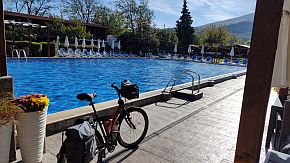
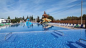
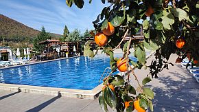
| The place is especially nice April, May, September, October in the middle of the week, when there is nobody there - all the swimming pools will be yours! - the next three photos - the middle of October 2024. | ||
 |
 |
 |
|
There are another possibilities for overnight accommodation in Varvara or Vetren Dol as well. |
||
|
|
The motel on the left, "Ðîäîïñêî õàí÷å" (Rodopsko Hanche) in Varvara has a nice restaurant and small swimming pool. I recommend it. In the photo on the right is a private home-hotel, "Ðàäîâàòà êúùà" (Radovata Kasta) in Vetren Dol. |
|
 |
B. Varvara (or Vetren Dol) as a base points to explore Rodopi Mountain Varvara is even a better place to be used as a base point when enter in Rodopi mountains – there is a nice motel and swimming pool of mineral water there. Have only in mind that weekends in the summer time (June - August) this spot is overcrowded by relaxing tourists and there will be not free beds (Friday & Saturday nights) in the motel.
Some information for Varvara and Vetren dol: http://www.guidebulgaria.com/SC
http://www.guidebulgaria.com/SC/ pazardjik/septemvri/vetren_dol The next photos are complex Varvara - motel and swimming pools. |
|
C. The narrow-gage train Septemvri - Dobriniste As the traffic along the road N 84 between Varvara and Velingrad is intensive, an appropriate way to enter in Rodopi Mountain is the narrow - gage train serving the line from Septemvri to Dobriniste. The red line on the map below shows places where the line is not next to the road.
|
|
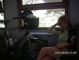
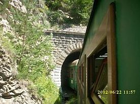
More information concerning this amazing train can be seen here: Septemvri-Dobrinishte_narrow_gauge_line A narrow gauge train can be taken on September (at 8. 30 am). My suggestion is to catch the train in Varvara (at 8.46 am). Either of these two places can also be used as an initial point to explore the Rodopi mountains. There are several reasons to use this amazing train when you begin exploring Rodopi mountains: - I think there few trains in the world this memorable. The speed of the train is 25 – 30 km/hours, the scenery of the area it is going is marvelous as it can be seen from the photos below; Each year I travel by this train at least once; - It is not a problem taking your bicycle on this train. If there are more than 4 bicyclists in your group use different carts to load baggage. A ticket for the bike is 1 EURO; |
- There is traffic from Varvara to Velingrad, which is not severe. It would be better on this road segment to travel by train; - Some elevation gains can be avoided. Varvara is at an elevation of 270 m., Velingrad is at an elevation of 750 m.. The highest point is at Avramovo line station, at almost 1300 m. My suggestion to tourists having a restricted time for touring is to take on the train to in the mountain. It will save some time which can be used later to visit more exciting places in the mountain; - Depending of the route you have decided on in Rodopi mountain, you can get off the train either at the Velingrad or Avramovo train stations; - The train can be used also for a route to Rila Mountain (see the Chapter for routes in Rila mountain); - In the opposite direction it would be unnecessary to travel by the train. The pedaling down the mountain along the line is very pleasant. |
|
|
 |
|
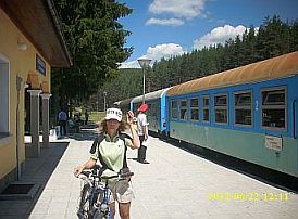
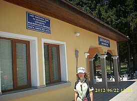
| The train station in Varvara. The train from Varvara to Velingrad is here at 8. 46 am. | Inside the cart - no problem to load your bicycle in it. | The diesel engine - there are such engines made in Romania and former East Germany. At work since 1963. |
|
|
|
 |
|
Avramovo Line Station - the highest on Balkans - alt. 1267 |
Avramovo Line Station (above). There are a lot of tunnels along the line. |
Inside the engine - some time I arrange tourists to travel inside it. |
 |
 |
|
| The visibility in the engine is much better than in the cart, but it is not easy to arrange to travel in it. | ||
|
|
|
|
| In the mountain there are several serpentines of the line. | Velingrad Line Station. | |
|
|
|
|
|
|
|
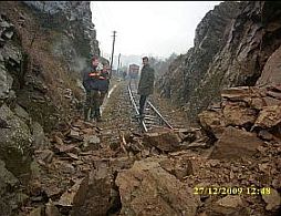 |
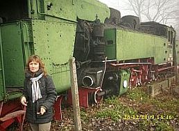
| Old steam engines can be seen in Bansko Line Station. | Rocks on the line after powering rain. Some time in the mountain it happens ... | |
 |
 |
 |
 |
 |
|
|
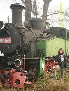
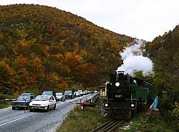
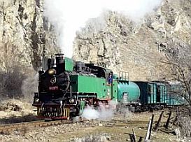
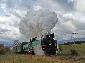
There is one original steam engine still at work, it is used only when there is a group of tourists paying in advance for such a traveling. |
See the video - speaking in Germans: |
|
|
|
||
| The routes I will give further are (the map below): | ||
|
Route 1. From Belovo to Yundola to Gotse Delchev; Route 2. From Pazardzhik to Velingrad to Dospat; Route 3. From Pazardzhik to Batak to Dospat; |
Route 4. From Pazardzhik to Krichim to Devin; Route 5. From Plovdiv to Asenovgrad to Smolyan; Route 6. From Gotse Delchev to Dospat to Devin to Smolyan. |
|
|
Of course I will expand my description for all the routes with some alternatives and shortcuts. |
||
|
The logic, when design a tour in Rodopi Mountains, is to enter the mountain in the direction North – South (routes 1 to 5), after to pedal the route 6, or a segment of it, and be back to North. So, I will begin with routes 1 - 5. |
|
Route 1 From Belovo to Yundola to Gotse Delchev
The route I describe here is:
From Belovo to Yundola to Avramovo Line Station to Yakoruda to Eleshnitsa to Mesta to Gotse Delchev to Border Checkpoint Lesovo. In fact, the route from Belovo to Avramovo Line Station is in Rila Mountain, but just here is not easy to part Rila Mountain and Rodopi Mountain. Avramovo Line Station is placed just on the saddle parting both mountains. Further the road follows valley of Mesta River, which is the line parting Rila and Rodopi Mountains, and Pirin and Rodopi Mountains. The entire area is extremely exciting to be explored, I always pedal there with a great pleasure.
As an addition I will give information for the route: From Pazardzhik to Varvara to Velingrad to Yundola, if you decide to use Pazardzhik or Varvara as base points to start your exploring of Rodopi Mountain. |
|
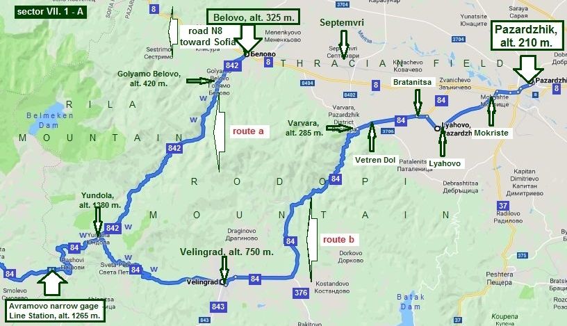
Sector VII. 1 - A From Belovo (Pazardzhik) to Avramovo narrow-gage Line Station
Route a From Belovo to Yundola (road 842) to Avramovo Line Station
|
|
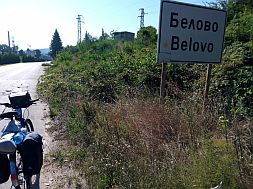
Belovo is a little city, appropriate to be used as starting point for a tour in Rodopi Mountain. There is an easy access to it from Sofia, a train can be used from Sofia to Belovo as well. |
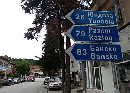
Overnight accommodations are available in Belovo. Very little information for Belovo can be seen here: http://www.guide-bulgaria.com/SC/pazardjik/belovo/belovo Several photos from Belovo: |
 |
 |
 |
|
|
|
|
|
As it can be seen from the road profile chart, the climbing of the mountain stars at Belovo - there is almost 30 kilometers of climbing, it is maybe one of the longest up mountain climbing in Bulgaria. |
The slope is almost permanent, the traffic is negligible. Fore kilometers further is Golyamo Belovo - the last place you can find food, the next one is Yundola. |
|
|
|
|
|
Leaving Golyamo Belovo, you will see a nice water spring. From the other side next to the river is maybe the only nice place for camp in the wilderness all along the road to Yundola. |
||
|
|
|
 |
|
So, after 20 km. hard pedaling up the mountain, you will be in Yundola. |
||
|
|
|
|
|
|
|
 |
|
|
|
|
|
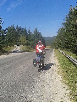
Yundola is a little mountain resort placed just on the border between Rila and Rodopi Mountains, overnight accommodation is possible in it: |
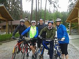
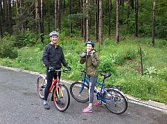
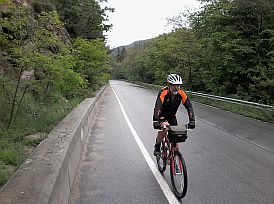
Three photos from Yundola toward Avramovo Line Station taken in the cool, glummy and drizzling morning in the beginning of June '17, I toured with two attractive couple from South Africa. |
 |
 |
 |
 |
||
|
Route b The next opportunity in this sector is for bicyclists using Pazardzhik (or Varvara) as a starting point of their tour. The route is: Have in mind that the route segment . |
from Pazardzhik to Velingrad is intensive. From Pazardzhik to Mokriste to Lyahovo to Bratanitsa to Vetren Dol to Varvara to Velingrad to Yundola (road 84). |
|
 |
||
|
Beginning from Pazardzhik, follow the route I point on the map above - so you will avoid the traffic between Pazardzhik, Zvanichevo and Bratanitsa. |
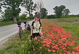
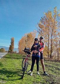
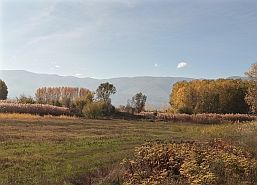
From Pazardzhik to Mokriste to Lyahovo to Bratanitsa. Several photos for the countryside toward Vetren Dol, Bratanitsa, Lyahovo and Pazardzhik in different seasons. |
|
 |
 |
 |
 |
 |
|
|
|
|
|
|
|
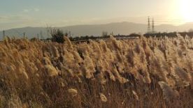
| The same area - from Vetren Dol toward Patalenitsa and Lyahovo - photos were taken in the best November 2022. | ||
 |
 |
 |
 |
 |
|
 |
 |
|
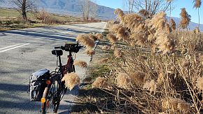
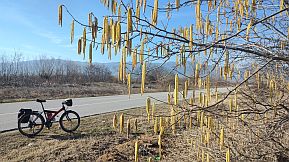
| February 2024 | ||
 |
 |
 |
|
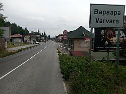
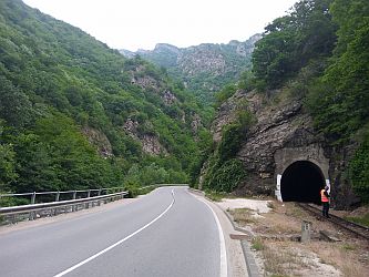
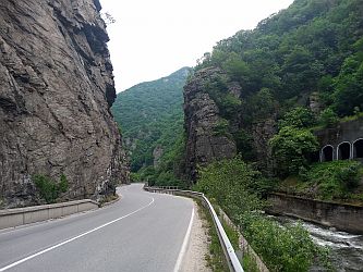
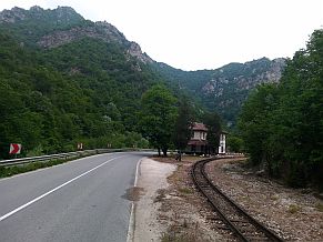
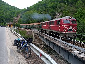
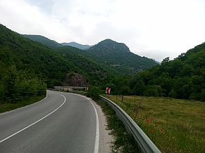
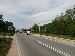
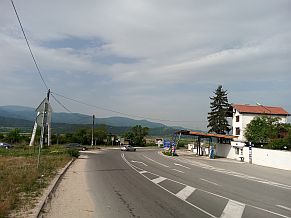
The road segment Varvara - Kostandovo Line Station is a beautiful gorge, unfortunately traffic here is quite intensive, the climbing up the mountain is not pleasant definitely. |
If you tour the back route, this road segment is nice for bicycling - I pedalled it several times in the back direction. Your speed will be almost the same as the one of the trucks. |
 |
 |
 |
 |
 |
 |
 |
 |
 |
|
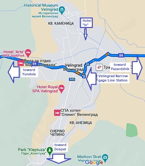
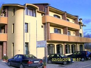
Several words for Velingrad: the city is a place with hotels and springs of thermal. Information for Velingrad: http://en.wikipedia.org/wiki/Velingrad net/en/velingrad/velingrad.html https://bulgariatravel.org/en/town-of-velingrad/ The city a known spa resort not only in Bulgaria. There are a lot of hotels of different quality; a nice place |
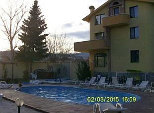
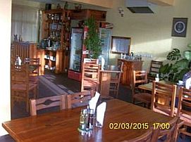
to stay for a night in is Hotel “Iv” (the 3 photos below). It can be found out easy, there is a nice small swimming pool of thermal water next to it, the place is clean, inexpensive, and the hotel restaurant offers nice meals. The staff is friendly, they have an experience with touring bicyclists. |
 |
 |
 |
|
 |
|
The climbing from Velingrad toward Yundola (approx 18 km.) is relatively hard, have in mind it is a sunny place. |
Water is available higher in the mountain near the crossroad toward Sveta Petka. |
 |
 |
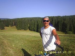 |
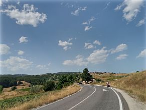
| Again, three photos from Yundola toward Avramovo Line Station. | ||
|
|
|
|
 |
 |
 |
 |
 |
|
|
As a conclusion I would say, that maybe the best variant is if you take on the narrow gage train from Varvara (or Septemvri) to Velingrad. Up the mountain it really is a good idea. In the end, please, look again the map of the Sector VII. 1 - A. On it I have point Belmeken Dam in Rila |
|
Mountain; it is very close to Yundola (approx 24 km up the mountain), and bicyclists loving climbing can visit it. A very detail information for this route I have posted in the Chapter VII. Nice routes in mountains: Point 3. Belmeken Dam, Sector VII. B |
|
٭An opportunity: |
||
|
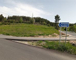
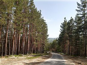
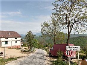
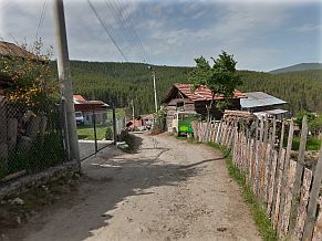
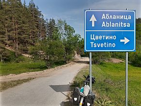
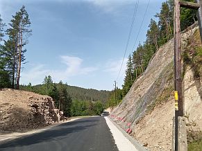
An excellent opportunity here, if you pedal in the back direction, is reaching Avramovo Narrow - Gage Line Station to take a road toward Kandovi to Ablanitsa to Velingrad. You will enter in a different world, they paved the road in 2020, although between Kandovi and Ablanitsa the road in the forest is still dirty. Because there |
is several gravel roads between them, do not be afraid, go only down, soon you will reach Ablanitsa. This opportunity is nice only when the weather is nice without raining.
You will miss the climbing from Avramovo Line Station to Yundola as well. |
|
|
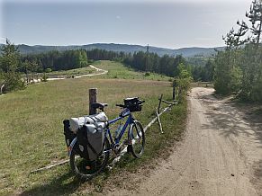
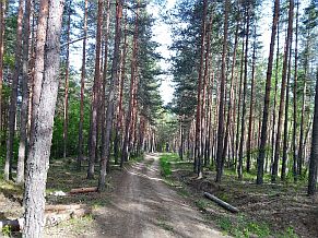
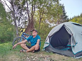
Several photos of this area; needles to say it is perfect to camp here hear the river. |
||
 |
 |
 |
 |
 |
 |
 |
 |
 |
|
|
||
|
Sector VII. 1 - B
From Avramovo narrow-gage Line Station to Eleshnitsa and a little further: (the crossroad of roads N19 & N1903 - point A)
The next segment is one of my favorite ones all over BG. I always make time for a stay here. A perfect area (photos below) for camping. No problem finding water and food here. The road has just been resurfaced and is in very good condition Sometime on weekends (especially Sunday afternoons) the traffic is heavy.
The short route here is: From Avramovo narrow-gage Line Station (road 84) to Cherna Mesta to Yakoruda to Yurukovo to Dagonovo to Kraiste to Eleshnitsa to Point A (road 1903).
The road profile chart shows that the route is extremely pleasant in direction north - south, and I would say that in the back direction it is not hard. |
|
|
|
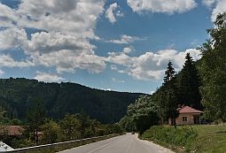
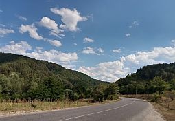
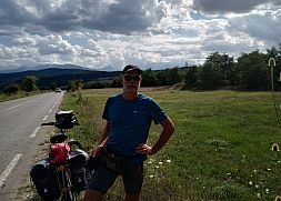
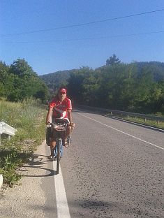
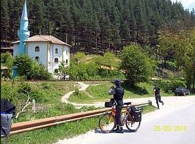
Beginning at the Avramovo Line Station, the road follows a very pleasant descent. The road runs parallel to the Mesta River. |
Pedaling in the reverse direction is not difficult at all. The most scenic road segment is between Avramovo Line Station and Cherna Mesta. |
 |
 |
 |
 |
 |
 |
|
|
|
|
|
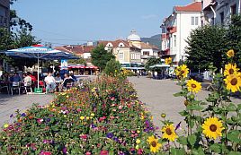
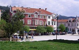
A bigger settlement here is Yakoruda, overnight accommodations are available. Information about Yakoruda and several photos: http://www.visitbulgaria.net/en/yakoruda/yakoruda.html |
||
 |
 |
 |
| Toward Eleshnitsa. Along the road there are a lot of fresh water springs for your enjoyment. | ||
 |
 |
 |
|
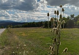
The countryside here is the best, there is very nice view toward Pila and Pirin Mountains. There ate a lot of places to camp in the wilderness. |
||
.jpg) |
.jpg) |
.jpg) |
|
|
|
|
|
|
 |
|
|
Several kilometers after the crossroad toward Eleshnitsa there is a spring of thermal water. (I point this spot on the map above). |
||
 |
 |
 |
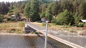 |
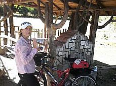
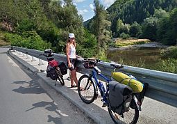
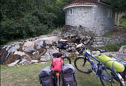
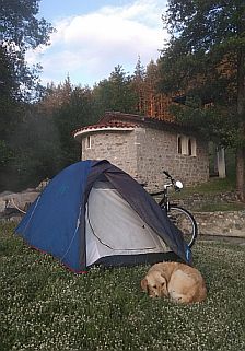
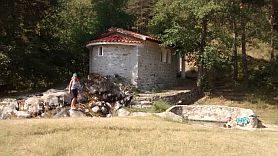
The place is easy to recognize seeing a rope bridge over the Mesta River, left, pedaling down to the stream. You will notice a little chapel. Nobody will stop you from setting up your tent next to it. You can enjoy the little pool of thermal water there (36 deg C). Usually there is nobody else there.
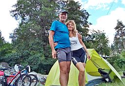
My FB friend, Dogaru Armin, followed my instructions and May 2018 spent a nice night just here - the photo in right:
"And your site is also very helpful. With a lot of useful information to plan a trip. Boris, I wanted to thank you. I followed your advice and I spent a night at Eleshnitsa. As you say on your site, I put my tent near the small chapel. The water there is amazing. So hot. Thank you and have a nice day". |
 |
 |
||
 |
||
|
In the village of Eleshnitsa you can find another very nice thermal swimming pool. The facilities there are old and does not look nice. But, the place in fact is very clean, the water is beautiful. |
Overnight accommodations are available there, too. The natural scenery in the area of Eleshnitsa is very scenic. Information for Eleshnitsa can be found here: http://www.guide-bulgaria.com/SW/blagoevgrad/razlog/eleshnitsa |
 |
 |
|
|
|
|
|
 |
 |
 |
 |
|
|
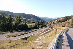
| The last photo above shows the Point A in the map of Sector VII. 1 - B; You will see this disposition coming from south. | ||
٭Opportunities in the region Sector VII. 1 - B. 1
Here I will increase the scale a little showing an opportunity in the region. If you have a time extend your route a little and visit Banya, Bansko, Dobriniste, or Razlog (route b). From Dobriniste or Bansko there are nice hiking trails in the Pirin mountain which I have mentioned here: Capter VII. Routes in Mountains,
The next three photos illustrate the road toward Banya. |
 |
|
|
|
Information for Banya: http://www.guide-bulgaria.com/SW/blagoevgrad/razlog/banya |
||
|
|
Banya is a nice place for an overnight stay, with many hotel choices. It is also a place with thermal water. But I would suggest you to go further toward Bansko and Dobriniste . Information for Banya: |
|
|
|
Pedaling from Banya toward Bansko you will enjoy a really nice view of the Pirin Mountains. You will see the highest peak, the view is extremely impressive the months of May - June, when the higher parts of the mountain are still covered by snow. |
|
|
|
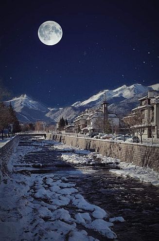
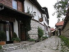
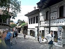
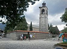
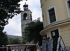
Bansko (next photos) is a winter resort. Each winter thousands of tourists (most of them are coming from GB) spend their vacations here. More information about Bansko can be seen here: http://www.bulgariaski.com/bansko/ https://bulgariatravel.org/en/bansko/
In the summer the resort is not crowded with tourists, except of several days on August, when there is a jazz festival lasting several days. Check ahead to find out exact dates. There are a lot of hotels you can stay for a night.
I can say that people here are masters of cooking meat meals in restaurants. Be aware that this area is more expensive than the next one I will describe at Dobriniste: 7 – 8 kilometers east from Bansko.
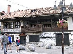
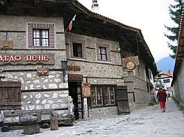
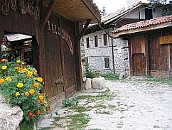
The view toward the mountain on a full moon night is amazing. It must be seen. Next several photos are taken in the old part of Bansko.
For the possibilities to explore Pirin Mountain from Bansko, please look in: Capter VII. Nice Routes in Mountains, |
 |
 |
 |
 |
 |
|
 |
 |
|
|
|
||
|
|
Dobriniste is 6 kilometers east from Bansko. Again, it is overcrowded with tourists in winter. It is my opinion that you should choose Dobriniste over Bansko to visit. Dobriniste is less inexpensive, especially restaurants. People here also are masters of preparing meal dishes. https://www.visitbulgaria.net/en/dobrinishte/dobrinishte.html https://bulgariatravel.org/en/dobrinishte/ Here are reasons I love there place: There is very nice swimming pool of thermal water (I have never missed to stay there for an afternoon). There is a chair type lift to the higher part of Pirin Mountain. There are very nice local type restaurants offering very tasty meat dishes (look for "Makedonska Krachma". Overnight accommodations are not a problem and prices are quite reasonable. so I do not miss to stay here for a day or two I am touring. |
|
 |
 |
|
|
|
 |
|
 |
||
 |
 |
|
|
|
||
|
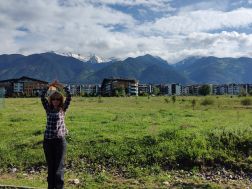
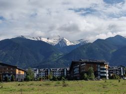
The next three photos show the road toward Razlog. The view toward Pirin Mountain is extremely impressive, although photos taken by my cell phone do not do the scenery justice. |
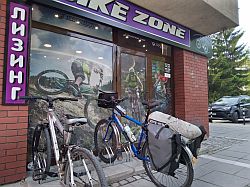
The last time I pedaled here my speed shifter broke, fortunately in the center of the town there was a bike shop. I changed it without any problems. Several photos from Razlog. |
|
 |
 |
 |
 |
 Information for Razlog can be seen here: |
 |
 |
 |
| Near Razlog can be found quite a few hotels. In the summer, you should have no problem finding vacancies. | ||
 |
 |
 |
|
|
||
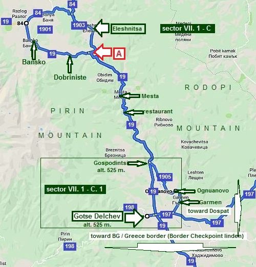
Sector VII. 1 - C From the crossroad of roads N19 & N1903 (point A) to Gotse Delchev
Here is the long and scenic Gorge of Mesta River:
From Dobriniste (or Eleshnitsa) to Mesta to Gospodintsi to Gotse Delchev (road 19).
On your right side is Pirin Mountain, on your left is Rodopi Mountain. The road is an international road, wide and will not have a lot of traffic. The road follows the long and scenic Mesta River Gorge. The Pedalling here is a real pleasure in the both directions.
There is a little restaurant located about half way through the road. You will also notice a lot of water fountains along the route as well. |
||
 |
||
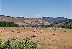
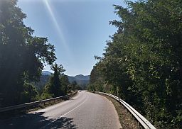
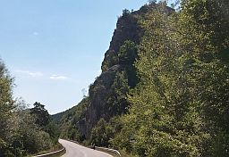
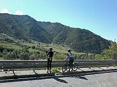
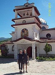
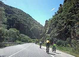
| Next photos are the countryside down the stream of Mesta River. | ||
 |
 |
 |
 |
 |
|
 |
 |
|
|
|
|
|
|
Gotse Delchev is a little city placed just next to Pirin Mountain. Overnight accommodation is possible in it. |
|
Information about Gotse Delchev: http://www.visitbulgaria.net/en/gotse_delchev/gotse_delchev.html |
|
|
 |
 |
|
|
|
|
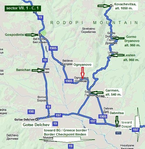
Sector VII. 1 - C. 1 Ognyanovo & Kovachevitsa A good idea when bicycling along road 19 is to visit Ognyanovo (road 1905) instead Gotse Delchev. Because of the thermal springs in the region, Ognyanovo has become a popular place to vacation. Over the last few years, weekends and the month of August, more tourists are attracted the small resort.
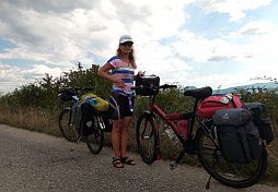
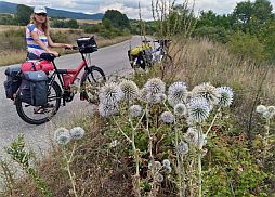
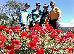
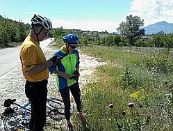
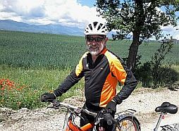
The next several several photos show the approach toward Ognyanovo from Gospodintsi - the beautiful June '17.
|
 |
 |
 |
|
|
 |
 |
 |
 |
|
|
Approaching to Garmen and Ognyanovo from Gotse Delchev can be seen remains of the ancient fortress Nikopolis ad Nestrum. |
As I have said above, a hotels for overnight accommodations in Ognyanovo are available.
|
|
|
|
 |
|
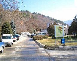
I can recommend a very nice place to stay, the hotel Elegance. The prices and quality of the hotel is quite affordable. The hotel consists two buildings - a new and older one, both are in very good conditions. Unfortunately the site is in Bulgarian: |
http://www.comunicatorbg.com/elegance.html
You can see information concerning prices, rooms, restaurant, swimming pool, SPA information on their website. |
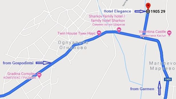 |
It is very easy to find out this hotel. Simply look for signs on the street poles: - Coming from North, the hotel is in the opposite end of the village; - Coming from South, the hotel is to right, immediately after the bridge entering Ognyanovo.
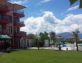
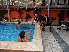
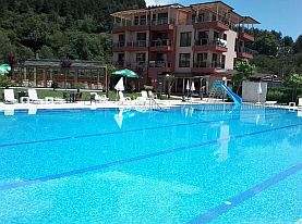
I will mention only that it is a clean place having a nice restaurant and a swimming pool of beautiful thermal water. Guiding bicyclists, I always recommend them to stay here for a night, and they will not be disappointed. |
|
|
|
 |
|
 |
 |
 |
|
If you decide to relax two days in Ognyanovo, I would suggest you to visit Lesten and Kovachevitsa high in Rodopi Mountain (look again sector VII. 6 - C. 1). Of course, it is only for bicyclists liking climbing. |
The climbing is 16 kilometers and the difference of altitudes is almost 500 meters (3 hours pedaling for a bicyclist like me :), including the coffee pause in Lesten, or Gorno Dryanovo. |
|
The route is: From Ognyanovo to Lesten to Gorno Dryanovo to Kovachevitsa.
|
|
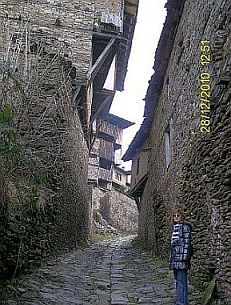
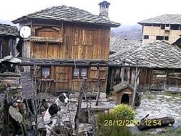
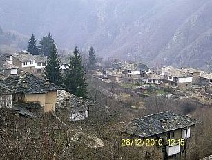
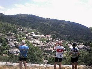
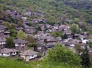
It would be better to climb here in the morning. Going up and up, you will enjoy of the best scenery: to West is Pirin Mountain. Along the road there are water springs. In Kovachevitsa you will see stone houses covered with stone plates – a typical architecture from the beginning of XIX century. In the village there is a small restaurant. |
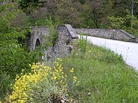
Information for Lesten: https://bulgariatravel.org/en/village-of-leshten/ Several photos for the road toward Lesten and Ognyanovo and information for Kovachevitsa (a restaurant and overnight accommodation is available there as well): https://bulgariatravel.org/en/kovachevitsa/ http://www.visitbulgaria.net/en/kovatchevitsa/kovatchevitsa.html |
 |
 |
 |
 |
 |
 |
 |
 |
|
Route 2 From Pazardzhik to Velingrad to Dospat
|
|
As I have described the route from Pazardzhik to Velingrad in the previous point, next I will give information for the route from Velingrad to Dospat.
Route 2 From Velingrad to Dospat
Velingrad – Dospat is one of the best destinations in Rodopi Mountains. The climbing begins just after Velingrad and to the highest point there are almost 30 km, the last 4-5 km. to the Pass are a little bit steeper.
The map shows difference of the altitudes of Velingrad and the highest point in the mountain - almost 800 meters. The road is in very nice conditions, there is not any traffic. On the highest point of the Pass there is a restaurant, but it is not so nice. Depending on the season, along the road you will see wood strawberry and raspberry (in fact everywhere in Rodopi Mountains there are such wood fruits). Springs of water are available everywhere.
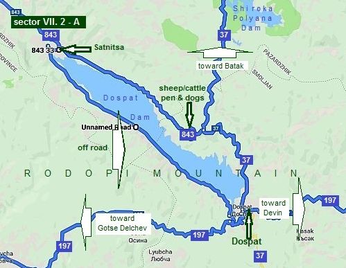
Again, 10 km south from Sarnitsa there are 5 km climbing (to the road N37 coming from Batak). Be careful, there are sheep/cattle-pen here and dogs.
Many times I have explored this area, down are several photos of it.
There are a lot of small hotels in Dospat, so the overnight accommodation is not a problem in it (as well as in Sarnitsa). There is a possibility to miss Dospat - to east from the second high point on this map (alt. 1510), I will write about it in the next point. |
|
The next 6 photos are road 843 up the mountain. |
||
|
|
 |
|
 |
|
 |
|
The Pass and down toward Sarnitsa. A little information for Sarnitsa: http://www.guide-bulgaria.com/SC/pazardjik/sarnitsa/surnitsa |
||
 |
|
|
|
|
|
|
|
|
|
|
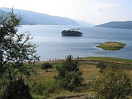
| The second high place, the best view toward Dospat Dam and down toward Dospat (road 37). | ||
|
|
 |
 |
|
|
||
Sector VII. 2 - A
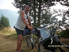
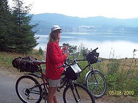
There is an unnamed off-road along the other side of Dospat Dam (the right dam side going toward Dospat - next photos). It is a little hard to find it in Sarnitsa. Never mind there is not hills from this dam side, the road is not nice – there are a lot of pools as well as muddy segments, but I like it and many times pedalled and camped here.
There are nice spots for wild camping, nice water springs, July and August the dam water is more than 20 deg C, it is best to refresh in it. |
||
 |
 |
 |
 |
 |
 |
| On the dam wall there is a road – use it to enter in Dospat. | ||
.jpg) |
.jpg) |
.jpg) |
|
From the other side of the dam wall you have to go further 200 meters and you will see the mosque on the next photos. A lot of hotels are there (the red one is just next to the mosque). |
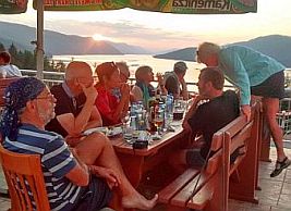
Dospat is a touristy place, Information for Dospat and Dospat Dam and photos of this area: |
|
|
|
|
|
|
 |
|
|
|
||
|
Route 3 From Pazardzhik to Batak to Dospat
|
|
Route 3 From Pazardzhik to Batak to Dospat
The route is:
From Pazardzhik to Glavinitsa to Radilovo to Pestera to Batak to Batak Dam to Dospat.
The route from Pazardzhik to Dospat is one of the best route (almost 90 km long) in Rodopi mountains. Most of the time you will pedal in area of pine forest.
Beginning from Pazardzhik having altitude 210 m. the climbing is considerable. The highest point in the mountain is 1650 m., it is almost in the middle of the road. There is a little restaurant and food shop in this point. The road is very nice, it was reconstructed 2012.
You will not regret if decide to explore this area.
For more detail description I will part this route in two sectors. |
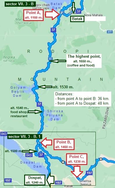
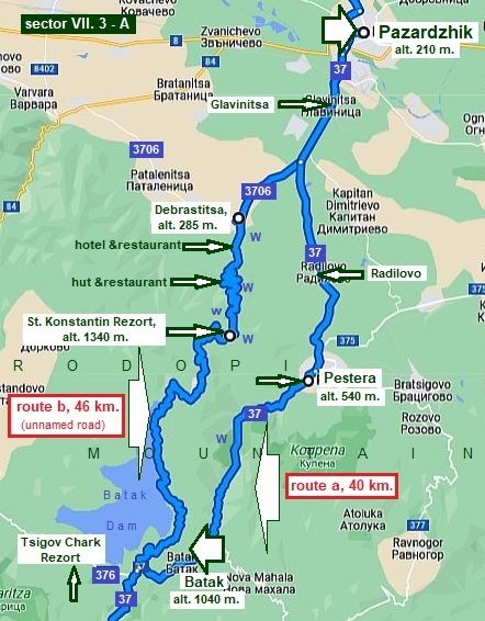 Sector VII. 3 - A As it can be seen on the map, there are 2 possible routes to reach Batak Dam from Pazardzhik:
Route a: From Pazardzhik to Glavinitsa to Radilovo to Pestera to Batak to Batak Dam. Although the road is save, the traffic here is more intensive, especially from Pazardzhik to Pestera, but climbing is less than the next variant.
Route b: From Pazardzhik to Glavinitsa to Debrastica to St. Konstantin Resort to Batak Dam. Comparing with the route a the distance here is longer, the climbing is more as well, but no any traffic and the scenery us beautiful. I do recommend this variant.
Two kilometers above Debrastica there is a nice relax place - hotel, restaurant, drinkable water are available there. Fore kilometers up the mountain there is one more such a spot. Overnight accommodation is possible in St. Constantin resort as well. In the little Resort Tsigov Chark (at Batak Dam - road 376) there is a restaurant, hotel, little shops, it is a place to relax. (Notice on the map above, it is located not just on the road towards Dospat. |
|
Route a: From Pazardzhik to Glavinitsa Radilovo to Pestera to Batak to Batak Dam. |
The traffic from Pazardzhik to Pestera can be busy. I would not say it is a dangerous road. Overnight accommodations are possible in Pestera. |
|
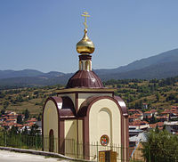
Twenty kilometers after Pazardzhik it Pestera - the next three photos. |
||
|
|
 |
|
|
Overnight accommodation in Pestera is possible; information and several photos from the little city. http://www.guide-bulgaria.com/SC/pazardjik/peshtera/peshtera |
||
|
|
|
|
|
|
|
|
|
|
Next to the town are remains of mediaeval fortress, a little museum is available there - you can try some mediaeval weapons in it.
|
|
|
|
||
|
|
Further up in the mountain is Batak. The traffic here is much less, the road is going up in the mountain via scenic gorge. Information for Batak: https://en.wikipedia.org/wiki/Batak,_Bulgaria http://www.visitbulgaria.net/en/batak/batak.html The history of this little town was quite unhappy in connection with uprising April 1876. In a couple of days here were massacred approx 5000 people. Information for it can be seen here, my suggestion to more sensitive persons is to miss this information. https://en.wikipedia.org/wiki/April_Uprising https://en.wikipedia.org/wiki/Batak_massacre https://bulgariatravel.org/en/history-museum-town-of-batak/ The only photo I have from this region is in right - relax near the beautiful river up the mountain. |
|
 |
 |
|
|
Seven kilometers up in the mountain is Batak Dam, Tsigov Chark resort is placed near the reservoir. In the little Resort Tsigov Chark (at Batak Dam) there is a restaurant, hotel, little shops, it is a place to relax. (Notice |
on the map above, it is not just on the road towards Dospat. Information for the little resort and several photos: http://www.visitbulgaria.net/en/tsigov_chark/tsigov_chark.html |
|
|
|
|
|
Route b: From Pazardzhik to Glavinitsa to Debrastica to St. Konstantin Resort to Batak Dam.
Comparing with the route b the distance here is longer, the climbing is more as well, there is a little traffic, and the scenery is beautiful. I do recommend this route. Next photos are toward Debrastitsa. |
||
 |
 |
 |
|
|
|
|
|
Two kilometers
above Debrastica there is a nice relax place - hotel,
restaurant, drinkable water are available there. Fore km up the mountain
there is one more such a spot - all that I have pointed on the map
Sector VII. 3. 1 above. The climbing here
is not so easy, but it will be in a wood and shade area.
|
|
|
 |
||
 |
||
|
St. Konstantin Resort is located at the highest point of this route. Overnight accommodation is possible in it, restaurant is available as well. Because of there only one hotel is available, in the weekends problems |
with the accommodation are possible (Friday and Saturday evenings). If you need overnight accommodation, you can go further toward Tsigov Chark Resort. |
 |
 |
 |
 |
 |
 |
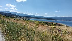
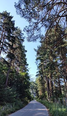
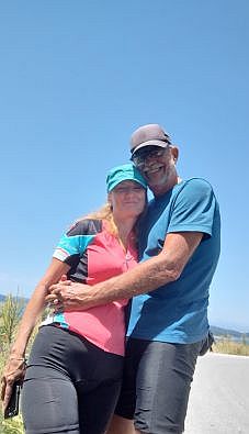
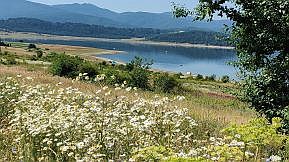
| Especially pleasant area is down toward Batak Dam - the next photos. | ||
 |
 |
 |
|
|
|
|
 |
 |
 |
 |
||
 |
||
|
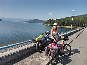
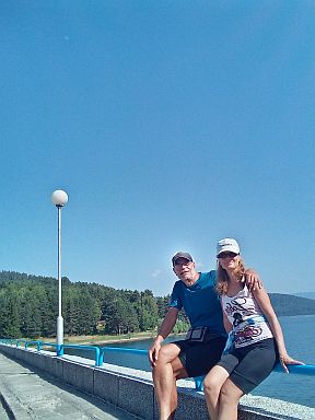
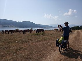
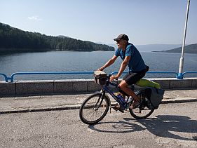
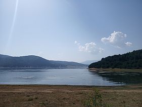
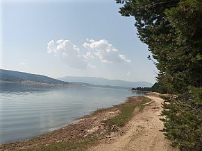
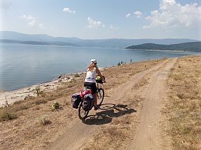
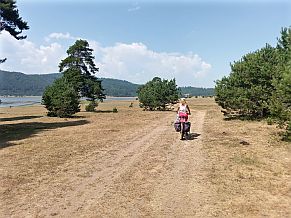
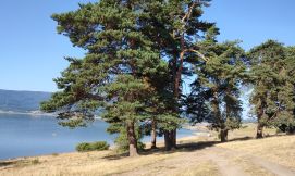
The dam is surrounded with a gravel road in this beautiful area. Pedaling the other side of the dam is a |
little tedious, but there are nice spots for wild camping and places to enter and swim in the reservoir. |
 |
 |
 |
 |
 |
|
 |
 |
 |
| The same place, the second half of July, '22. | ||
 |
 |
 |
 |
 |
 |
|
|
||
Sector VII. 3 - B
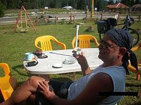
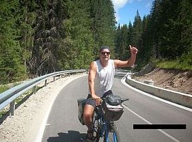
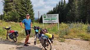
If you have a possibility, explore this area. Never mind that the climbing after Batak Dam is considerable, you will not regret. (see altitudes on the map. It is extremely scenery mountain area, very nice road, no any traffic. On the highest point there is a little restaurant or food shop - I do not remember well (the photo down I am sitting near the table). Well, August '22 it was not working. The same is next to Shiroka Polyana Dam, I am sure there is a restaurant there, the food shop is working.
Several words for the off road in the segment VII. 3 - B. 1 (between points B and C) are after the next photos.
|
||
|
Well . . . I can not avoid posting more photos of this scenic area. |
||
|
|
 |
|
|
|
|
 |
|
|
 |
|
|
|
|
|
|
|
|
|
|
|
|
|
|
|
|
|
|
|
|
|
| More photos from this beautiful area. the late July '22. | ||
 |
 |
 |
 |
 |
 |
 |
 |
 |
| Next photos are taken several kilometers south from the point B on the map above: a view toward Dospat Dam. | ||
|
|
 |
 |
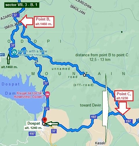
Sector VII. 3 - B. 1
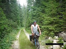
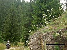
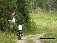
A nice opportunity to enter deeper in Rodopi mountain is the following: Instead to bicycle to Dospat along road N37, approx. 6,5 km. after the restaurant at Shiroka Polyana Dam there is an off-road: a short cut to the road N 197 (from Dospat to Devin) - the route between points B and C on the left map. Unfortunately there is not any sign pointing this road. The crossroad is just at the place where a small river is crossing the asphalt road. On different maps the name of the small river is pointed as "Sarnena River", or "Karadzhadere River"; Another: to the point B bicycling is downhill, after the river – up the hill. The place can be recognized by: - the water spring just on the crossroad (the first photo below); - the sign "Dospat Municipality" - written in Cyrillic as "Îáùèíà Äîñïàò" (the second photo below); - the very little dam in the beginning of the off-road (the third photo below). Once finding out the off road, further you will be not wrong, simply follow the river. |
||
|
Next are the road profile charts of both routes. HAVE IN MIND THE SECOND ONE IS ONLY OFF ROAD !
As it can be seen from photos, it is worth to explore this areas. I am afraid, there are bears in the region, although the natives say they are not dangerous in the summer time. Who does it know . . . maybe it is not so wise, but I would explore this area over and over again . . . I love this place . . . |
||
|
|
|
|
|
|
|
|
|
|
|
|
|
|
|
|
|
|
|
|
|
|
 |
|
|
|
|
|
|
|
|
|
 |
 |
|
|
|
 |
 |
|
|
||
|
Route 4 Route 4. From Pazardzhik to Krichim to Devin
|
||
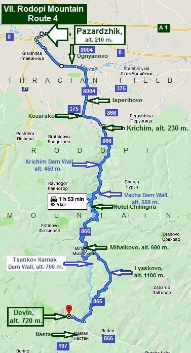
Route 4
Route 4. From Pazardzhik to Krichim to Devin
Another nice route in Rodopi Mountains without any traffic is:
From Pazardzhik to Ognyanovo to Isperihovo to Kozarsko to Krichim to Mihalkovo to Lyaskovo to Devin.
The route is along the valley of Vacha River. There are 3 dams in this valley: - Krichim Dam, - Vacha Dam and - Tsankov Kamak Dam.
On the map I have shown altitudes of dam walls. The highest point here is Lyaskovo having altitude of 1100 m, where overnight accommodation is possible. The tunnel near it is not dangerous to be passed.
There is a little restaurant just near the road in Mihalkovo, as well as the place I have pointed as a Hotel Chilingira at Vacha Dam where overnight accommodations are available as well.
|
||
|
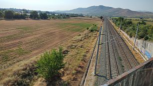
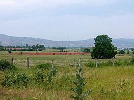
From Pazardzhik toward Ognyanovo and Krichim you will pedal in the Thracian field. |
||
 |
 |
 |
 |
 |
 |
|
|
 |
|
 |
|
 |
 |
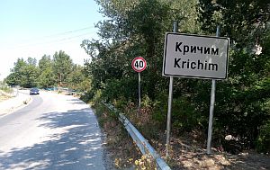
Very little information for Krichim is here: https://en.wikipedia.org/wiki/Krichim I think that overnight accommodations are not possible in it, but there is a nice restaurant in the town center. |
|
 |
 |
|
 |
 |
 |
|
The climbing of the mountain starts just after Krichim. Next three photos are the wall of Krichim Dam. It is the smallest dam, so very soon you will continue the climbing toward the wall of the next dam: Vacha Dam. |
||
 |
 |
|
|
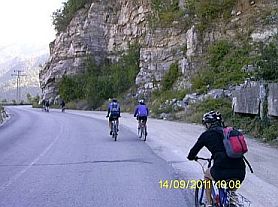
Soon you will see the wall of Vacha Dam (the 1st photo below, the view is much more impressive) is the highest dam wall in the Balkan Peninsula area - 120 meters. Information for Vacha Dam: |
||
|
|
 |
|
|
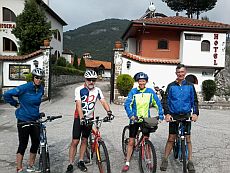
Several kilometers further is the place named Chilingira. Overnight accommodation is possible in Hotel Chilingira. Have in mind, that weekends in the summer time the place is overcrowded by hotel guests, especially |
in the hot summer weekends. Unfortunately this marvelous spot has not a site in English. I know that in the region can be found another places for accommodations as well. Next several photos are from this scenic spot. |
 |
|
|
|
|
|
|
|
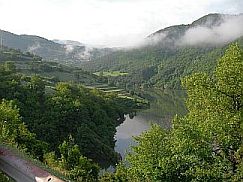
Toward Mihalkovo you will pedal along the dam, it is easy and scenic road. In Mihalkovo just near the road there is a little restaurant. The village is popular with its mineral water spring (2km from the village) whose water is naturally aerated. |
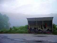
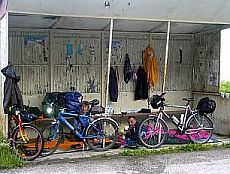
A little information for the Mihalkovo: http://www.guide-bulgaria.com/SC/smolyan/devin/mihalkovo I can not forget, in one of my touts with a couple from Germany we used the bus shelter as a hotel (in Mihalkovo) in the time of powering rain. |
 |
 |
 |
|
The next big reservoir is Tsankov Kamak. https://en.wikipedia.org/wiki/Tsankov_Kamak_Hydro_Power_Plant |
||
|
|
|
The dam wall can not be seen from the road, because the new road is going up the mountain toward Lyaskovo.
This photos were taken May '10 just in front and behind Tsankov Kamak Dam wall, before to close the road along Vacha river and filled in the Dam.
|
|
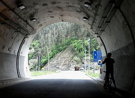
The road toward Lyaskovo is long (a little more than 10 kilometers) and steep. I have not photos from this road segment, I always pedaled it in the back direction. Be careful in the back direction just after the tunnel. The road is in very nice condition, the slope is big, so I have noticed that bicyclists love to ride madly down the mountain, often velocity is more than 40 miles/h. It is dangerous, because of the many turns. It may happen to |
see suddenly in front of you 2 heavy trucks over passing each other up the road. I remember such a case summer 2012, fortunately there was not a serious accident with the bicyclist, she succeeded to stop in the last moment. In Lyaskovo there are places for overnight accommodation. Just after the crossroad toward Lyaskovo there is a tunnel which is not dangerous. No any traffic here. |
 |
|
 |
|
This three dams as well as Dospat Dam (the previous item) are working together in an interesting hydro system "Dospat - Vacha" cascade driving 5 power plants.
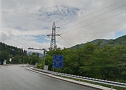
Next photos illustrate road toward Devin. Extremely pleasant route.
|
||
|
|
|
|
|
|
|
|
|
|
|
|
 |
 |
 |
 |
 |
 |
 |
 |
|
| Each summer I spent several days exploring this area, avoiding the high temperatures in the flat part of the country. Next photos are taken in the hot end of July '22. | ||
 |
 |
 |
 |
 |
 |
 |
 |
 |
|
In Devin town there are a lot of small private hotels, it is easy to fund a place for the night (hotels of higher class |
can be found out as well). Information for Devin: |
|
|
|
|
|
|
|
|
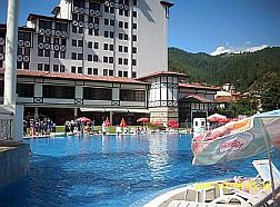
| The most noticeable in the center of Devin is the nice swimming pool, although the water here is not so hot, it is 24 - 26 deg C – perfect for the hot summer days. | ||
 |
|
|
|
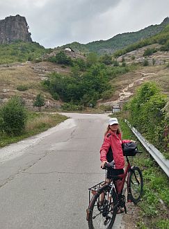
Walking 5 kilometers west from Devin, there is one more swimming pool and a restaurant near it, which thermal water is more than 30 deg C. This place is not so luxury like the first one, but the water is much more nice.
|
||
|
|
|
|
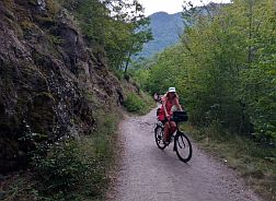
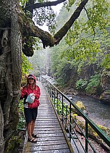
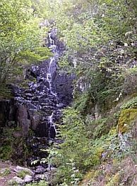
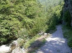
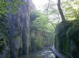
| Further there is a nice track to walk half an hour in the mountain along nice river gorge near waterfalls. | ||
 |
 |
 |
 |
||
 |
 |
|
 |
 |
|
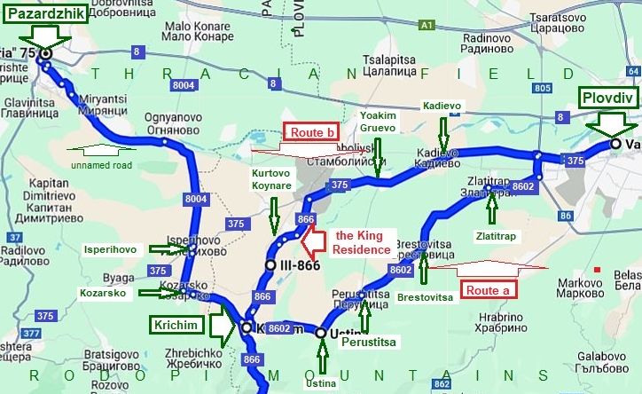
As a conclusion I will mention that you can pedal toward Krichim from Plovdiv as well. Two routes are possible:
Route a: From Plovdiv to Zlatitrap (road 8602) to Brestovitsa to Perustitsa to Ustina to Krichim to Devin (road 866).
|
| It is very pleasant route, pedaling it you will avoid the traffic along road 375, but comparing with route b it is more hilly. | ||
 |
||
 |
 |
 |
 |
 |
 |

Perustitsa is a little town, information for it: bulgaria.com/SC/plovdiv/perushtitsa http://www.guide-bulgaria.com/SC/plovdiv/perushtitsa/perushtitsa
The little city had not happy history April 1876: https://fakti.bg/en/bulgaria/875219-23-april-1876-g-aprilskoto-vastanie-perushtica-vastava |
 |
 |
 |
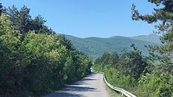
| Toward Krichim | ||
 |
 |
 |
|
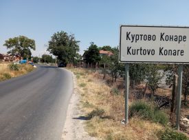
Route b: From Plovdiv (road 375) to Kadievo to Yoakim Gruevo to Kurtovo Koynare (road 866) to Krichim (to Devin - road 866)
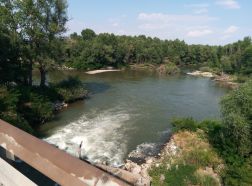
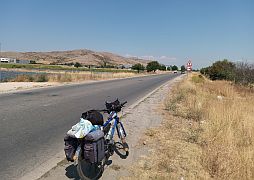
The next photos illustrate the countryside from Plovdiv toward Krichim. |
||
 |
 |
 |
|
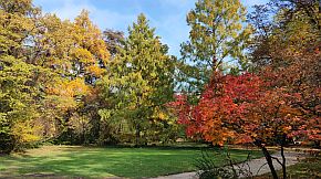
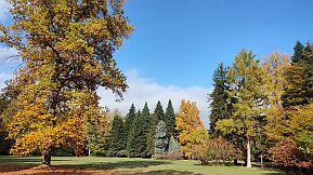
Comparing with the route a, the traffic along the road 375 is busier, but no hills here. Next to Kurtovo Koynare is located "The King Residence" - a nice spot to walk and relax. |
A little tax is required it if you intend to visit it. https://lostinplovdiv.com/bg/articles/fotorazhodka Several photos of the place |
 |
 |
 |
 |
 |
 |
 |
 |
 |
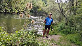
| The Residence is just next to Vacha River - a perfect place to camp next to the river. | ||
 |
 |
 |
|
|
|
Route 5 Route 5. From Plovdiv to Asenovgrad to Smolyan
|
|
Route 5. From Plovdiv to Asenovgrad to Smolyan
Route a: (road N 86)
From Plovdiv to Asenovgrad to Bachkovo to Narechen Resort to Hvoyna to Chepelare to Pamporovo to Smolyan.
I would not recommend the route from Plovdiv to Smolyan for touring especially in north - south direction (up the mountain). Never mind the scenery here is very nice, this road connects Smolyan, Asenovgrad and Plovdiv, so the traffic here is quite intensive. I pedaled this route only three times in the direction Smolyan - Plovdiv, my opinion is that bicycling here is dangerous. Over more, between Asenovgrad and Narechenski Bani Retort there are two or three not long tunnels.
So, if you decide to explore this region, I would recommend the next route.
Route b: (sector VII. 5 - A - road N 861) This route makes it possible to avoid the traffic along road N 86:
From Plovdiv to Asenovgrad to Yugovo to Laki to Dzhurkovo to Zdravets to Smolyan.
Here there is not any traffic, but the road is much more steeper, as it can be seen from the next road profile charts. In the direction from Plovdiv to Smolyan I recommend this route only to the stronger bicyclists.
|
|
|
|
|
Plovdiv is a popular tourist destination in Bulgaria. So you may find the city has heavy traffic. Detail information for Plovdiv can be seen here: https://en.wikipedia.org/wiki/Plovdiv
https://bulgariatravel.org/plovdiv-city/
https://bulgariatravel.org/en/plovdiv-city/
On the map I have shown the way to cross the city of Plovdiv by the green dashed line in order to avoid the tunnel under the hill with the Ancient Amphitheatre on it, although it is not a problem to pedal it.
I have pointed the walking area in the Plovdiv city (the next several pics.) beginning with the walking bridge on Maritsa River by the dashed green line – use it. (DO NOT PEDAL THERE !!!, - it is forbidden, only walk !!!)
The next link is a map for the velo lanes in Plovdiv: |
|
Entering Plovdiv from west or east, you will see velo lanes). Unfortunately, the velo lane does not cross through the town center.
The next link is a map for the velo lanes in Plovdiv: https://www.velo-plovdiv-tourist-map.truenorth.bg/
|
|
|
|
|
|
|
|
|
|
The History Hill of the Old Town and the Ancient Amphitheatre on it. |
||
|
|
|
|
|
|
|
|
|
|
|
|
|
|
|
|
|
|
|
|
|
|
|
|
|
The traffic from Plovdiv to Asenovgrad is intensive, but the road is after reconstruction, it is wide enough, so, I think it is save. Overnight accommodation in |
Asenovgrad is available. Information for Asenovgrad: https://en.wikipedia.org/wiki/Asenovgrad http://www.visitbulgaria.net/en/assenovgrad/assenovgrad.html Several photos from Asenovgrad |
|
|
|
|
|
|
|
|
|
|
|
|
Above the town are remains of a mediaeval fortress: https://bulgariatravel.org/en/asens-fortress- The church you see on the second photo is used as |
a label of exceptionally aromatic local type red wine named "Màâðóä" (Mavrud). Try it, you will not regret, you can find it almost everywhere for 3-4 EURO/bottle. |
|
|
|
|
|
Next important place for our history is Bachkovski Monastery. Near it overnight accommodation is possible, but usually this place is overcrowded by tourists. |
I remember that prices here were a little expensive than usual. Several photos and Information for the monastery: http://www.bulgariamonasteries.com/en/bachkovo_monastery.html |
|
|
|
|
|
Narechenski Bani Resort is 15 km after Bachkovski Monastery. It is known with its cool radioactive mineral water, which makes it popular among the nervous people. I do not love it very much. Information for it: https://bulgariatravel.org/en/narechenski-bani-narechen-baths/ |
Next town is Chepelare, people loving skiing love it winter time, so overnight accommodation summertime in it is not a problem. Information for it:
|
|
|
|
|
|
One of the most popular winter skiing resort is Pamporovo. Six - seven feet of snow are usual for this place. Skiing there is possible to the middle of April. |
Many tourists from GB, Greece and Scandinavia are coming here winter time. Information for Pamporovo: |
|
|
|
|
|
|
|
|
|
The road (8641) from Pamporovo down toward Smolyan is extremely scenic. |
||
|
|
|
|
|
The biggest town in Rodopi Mountain is Smolyan, it is at least 30 kilometers long. Again, people use it as a base for Pamporovo skiing resort, so summer time it is not overcrowded by the tourists. The rocks over the |
town are very impressive but my photographs skills are very poor to show it. Information for in and interesting spots near it can be found in the next site: |
|
|
|
|
|
|
|
|
|
Route b: (road N 861) This route makes it possible to avoid the traffic along road N 86:
From Plovdiv to Asenovgrad to Yugovo to Laki to Dzhurkovo to Zdravets to Smolyan.
Here there is not any traffic, but the road is much more steeper, as it can be seen from the next road profile charts. In the direction from Plovdiv to Smolyan I recommend this route only to the stronger bicyclists. I traveled it only one time by a car attending 2 couples bicyclists from Israel. I find only 3 photos for the route b (I remember there were a lot of raspberry near the road). Overnight accommodation is possible in Laki. |
|
|
|
|
||
|
|
||
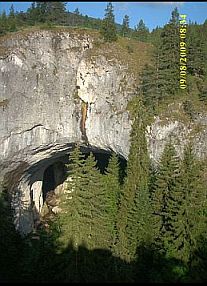
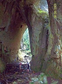
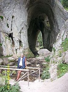
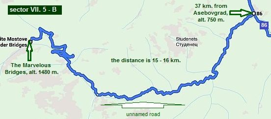 Sector VII. 5. 2 The Marvelous Bridges
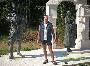
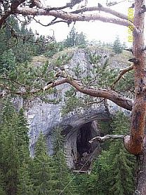
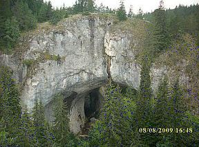
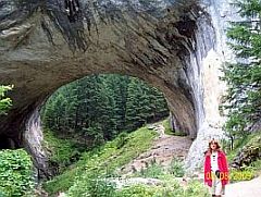
A little back now. If you decide to pedal route a, you must visit this scenic place called the Marvelous Bridges. https://bulgariatravel.org/en/chudnite-mostove-the-wonderful-bridges/ Turn right 37 km. north from Asenovgrad (at the crossroad with the statues - the first photo below), and after 16 kilometers climbing you will be there. It is worth to see this place. Overnight accommodation is available there. |
||
 |
||
 |
 |
 |
 |
 |
|
 |
 |
 |
|
Route 6 Route 6. From Gotse Delchev to Dospat to Devin to Smolyan
Route 6. From Gotse Delchev to Dospat to Devin to Smolyan As initial points for exploring this route I will point here: Gotse Delchev, Ognyanovo and border checkpoint Ilinden, if you enter in Bulgaria from Greece.
|
d.jpg) Sector VII. 6 - A From Gotse Delchev to Dospat From Gotse Delchev to Dabnitsa to Dolno Dryanovo to Satovcha to Dospat. As it can be seen form the road profile chart below, except the first several kilometers (to Dabnitsa), all this distance is up the mountain. Beginning from altitude of 500 m. at Mesta River, in the end you will be at altitude of 1380 m.; Dospat dam wall is a little lower, its altitude is 1230 m.; all this place is open to South – West, so climb it in the morning. |
a.jpg) |
|
Gotse Delchev is a little city placed just next to Pirin Mountain. Overnight accommodation is possible in it. Information about Gotse Delchev: http://www.visitbulgaria.net/en/gotse_delchev/gotse_delchev.html |
||
|
|
 |
 |
|
|
|
|
|
The climbing starts after Dabnirsa, several kilometers toward Dolno Dryanovo the road is steeper. Limestone career are placed near this village. |
||
a.jpg) |
a.jpg) |
a.jpg) |
.jpg) |
.jpg) |
.jpg) |
|
Leaving Dolno Dryanovo you will see Gradiste Historic Landscape Park - megaliths (next photos). There is a camping place and water there. |
||
.jpg) |
.jpg) |
.jpg) |
.jpg) |
.jpg) |
.jpg) |
|
Coffee places, shops even small restaurants are available in Dolno Dryanovo and Satovcha - there are possibilities for overnight accommodation in the last one. An information for Satovcha: http://www.guide-bulgaria.com/SW/blagoevgrad/satovcha/satovcha |
An hour climbing after Satovcha there is a nice spot for wild camping: beautiful meadow and a spring of cool fresh water (the blue triangle on the map above). |
.jpg) |
.jpg) |
.jpg) |
.jpg) |
In the region you will see a primitive agriculture from XIX century; along the road many people deal with producing of stone (gneiss) plates exported in all Europe. If you want, stonemasons will give you to try to do some plates. |
.jpg) |
.jpg) |
.jpg) |
|
|
Sector VII. 6 - A. 2 Next my description is for tourists reading carefully my Home Page. Approaching toward Dospat, close to it (half a kilometer to Dospat Dam) wall you will see the blue sign on the right photo below. |
||
|
|
Leave road the number 197 and soon you will be on the dam wall. The view here is nice, but the most important is that you will avoid crossing the valley in front of the dam wall – one very unpleasant climbing in the end of this not easy road segment. Further, just after the wall turn to right, soon you will see the silver cupola of the mosque in Dospat. Near it there are several hotels, you can spend a night in. |
|
| On the dam wall there is a road – use it to enter in Dospat. | ||
.jpg) |
.jpg) |
.jpg) |
|
From the other side of the dam wall you have to go up 200 meters and you will see the mosque on the next photos. A lot of hotels are there (the red one is just next to the mosque). |
Dospat is a touristy place, Information for Dospat and Dospat Dam and photos of this area: |
|
|
|
|
|
|
 |
|
d.jpg)
٭Opportunities in the region Sector VII. 6 - A. 1
Ognyanovo & Kovachevitsa Here I will expand a little my description, never mind all that I have mentioned already in the same chapter for the route 1. A better idea when bicycling along road 19 (Route 1: from Belovo to Gotse Delchev) is to visit Ognyanovo instead Gotse Delchev: From Gospodintsi to Ognyanovo. My suggestion for bicyclists entering in Bulgaria from Greece (Border Checkpoint Ilinden) is to do the same following the route: From Border Checkpoint Ilinden to Sadovo to Hadzhidimovo to Blatska (road 1907) to Hvostyane to Dabnitsa (road 1972) to Garmen to Ognyanovo (road 1905). Because of the thermal springs in the region, Ognyanovo is very nice spa center perfect for relax, which is still not overcrowded by tourists.
The next several several photos show the approach toward Ognyanovo from Gospodintsi. |
||
 |
 |
 |
|
|
 |
 |
 |
 |
|
|
Approaching to Garmen and Ognyanovo from Gotse Delchev can be seen remains of the ancient fortress Nikopolis ad Nestrum. |
As I have said above, a lot of places for overnight accommodation in Ognyanovo are available.
|
|
|
|
 |
|
I would recommend one very nice place to stay for a night here is hotel Elegance: the relation "price/quality" here is very nice. The hotel consists two buildings - a new and older one, both are in very good conditions: |
I will not write about it, fortunately the hotel Home page is written in English – you can see information concerning prices, rooms, restaurant, swimming pool, SPA procedures and so on. |
 |
It is very easy to find out this spot. Simply look for signs on the street poles: - coming from North, the hotel is in the opposite end of the village; - coming from South, the hotel is to right, immediately after the bridge entering in Ognyanovo. I will mention only that it is a clean place having a nice restaurant and a swimming pool of beautiful thermal water. Guiding bicyclists, I always recommend them to stay here for a night, and they have never been disappointed. Several photos from this spot. |
|
|
|
 |
|
 |
 |
 |
|
|
||
|
If you decide to relax two days in Ognyanovo, I would suggest you to visit Lesten and Kovachevitsa high in Rodopi Mountain (look again sector VII. 6 - C. 1). Of course, it is only for bicyclists liking climbing. |
The climbing is 16 kilometers and the difference of altitudes is almost 500 meters (2,5 hours pedaling for a bicyclist like me :), including the coffee pause in Lesten, or Gorno Dryanovo). The route is: From Ognyanovo to Lesten to Gorno Dryanovo to Kovachevitsa. |
|
 |
||
|
It would be better to climb here in the morning. Going up and up, you will enjoy of the best scenery: to West is Pirin Mountain. Along the road there are water springs. In Kovachevitsa you will see stone houses covered with stone plates – a typical architecture from the beginning of XIX century. In the village there is a small restaurant. |
Information for Lesten: https://bulgariatravel.org/en/village-of-leshten/ Several photos for the road toward Lesten and Ognyanovo and information for Kovachevitsa (a restaurant and overnight accommodation is available there as well): https://bulgariatravel.org/en/kovachevitsa/ http://www.visitbulgaria.net/en/kovatchevitsa/kovatchevitsa.html |
|
 |
 |
 |
 |
 |
 |
 |
 |
d.jpg) Sector VII. 6 - B From Dospat to Devin From Dospat to Borino to Teshel to Grohotno to Nastan to Devin. Again I have to write here, how beautiful is this place, but I do not. Photos below will show it. According to me (and not only) it is the most scenic area of Rodopi Mountain.
Between Dospat and Borino there are 3 not long and steep hills, except the first steeper one just after Dospat, which fortunately is no longer than 3 kilometers.
Ascending down after this first hill, you will reach an ancient roman bridge, a place, where tourists like to takes photos. |
||
|
|
|
|
|
|
|
|
|
|
|
 |
|
Needless to say all the area is perfect for camping. Our camp place next to Borino |
||
 |
 |
 |
|
In Borino there are hotels and restaurants. The place is nice for coffee/beer pause, my suggestion is to relax here for a while and go further. A little information for Borino: |
||
|
|
|
|
| Sector VII. 6 - B. 3 | ||
|
If you decide to stay in Borino, there is a nice walk 4 - 5 km toward a place named the "Devil Bridge", there is a water fall as well. The route is well signed: leaving |
Borino you will see a pylon with a bike on it pointing the direction toward "Chala - 9 km"; at the end of the road you will see the gear between pylons - the beginning of the track toward waterfall. |
|
d.jpg) |
.jpg) |
|
|
|
|
|
|
|
|
The next photos are the road from Borino toward Teshel. This route is easy for bicycling in direction west |
- east; the biggest difference in altitudes is between Borino and Teshel - the road there is quite steep, it is not easy for climbing in the back direction. |
.jpg) |
.jpg) |
.jpg) |
.jpg) |
.jpg) |
.jpg) |
|
In Devin town there are a lot of small private hotels, it is easy to fund a place for the night (hotels of higher class can be found out as well). The most noticeable in the center of Devin is the nice swimming pool, although the |
water here is not so hot, it is 24 - 26 deg C – perfect for the hot summer days. Information for Devin: |
|
|
|
|
|
|
|
|
|
The most noticeable in the center of Devin is the nice swimming pool, although the water here is not so hot, it is 24 deg C – perfect for the hot summer days. |
||
 |
|
|
|
Sector VII. 6 - B. 1 Walking 5 kilometers west from Devin, there is one more swimming pool and a restaurant near it, which thermal water is more than 30 deg C. This place is not so luxury like the first one, but the water is much more nice.
|
||
|
|
|
|
|
Further there is a nice track to walk half an hour in the mountain along nice river gorge near waterfalls. |
||
 |
 |
 |
 |
 |
 |
|
 |
 |
|
Sector VII. 6 - B. 2 Yagodina and Trigrad
Do not hurry to leave this region. Just here there are several very nice opportunities.
Maybe it is the best region of Rodopi Mountains – the region Yagodina, Yagodina Cave, and Trigrad and 2 amazing gorges – the Gorge of Buinovska River and Trigradska River and the cave "Devil's Throat".
Many times I bicycled here I have met foreign bicyclists who miss this marvellous spot, bicycling madly downhill from Borino toward Teshel. So, I will give a little more detailed description of this area.
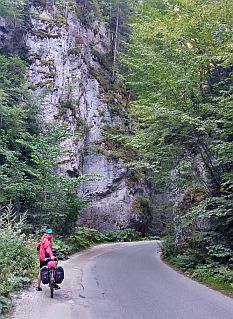
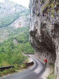
After Borino there is very steep downhill along the road N197. On first photos below it can be seen the signed crossroad toward Yagodina and Yagodina Cave. It is very easy to miss this crossroad driving madly downhill !!! A little further (after a tunnel which is not dangerous) you will see a sign that the right turn is forbidden, more stupid thing cannot be seen anywhere. Simply ignore the sign, turn to right and soon you will enter in this amazing gorge – you will recognize it easy in the photos below. |
||
|
|
|
|
|
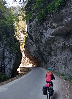
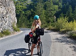
Turn to the forbidden right direction, soon you will see a tunnel (it is not dangerous) and after it you will enter in the amazing gorge of Buinovska River. |
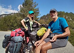
According to an emotional girl, pedaled here with a group from USA: "everything here is 3D". |
|
|
|
|
|
|
 |
 |
 |
||
 |
 |
 |
 |
 |
|
|
|
|
|
|
Going further, soon you will reach a well signed crossroad; tourists loving caves can pedal a kilometer straight on to Yagodina Cave. If there is a group of 5 – 6 tourists, a guide will show you the cave. Have in mind inside the cave is quite cool – 4 deg C, you need a jacket to walk in it. There is a restaurant near the cave. Turning to the left at the same crossroad, after 2 – 3 kilometers along a road cut in the rocks, you will reach Yagodina. The restaurant belonging to Hotel Yagodina is very nice, you may have a lunch in it. |
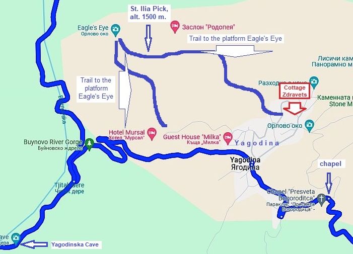
My suggestion is to stay for a night in Yagodina. Look for Hotel “Zdravets” (there is a sign in front of the mosque) – Sofia & Zdravko are masters of the house. (they have 2 sons speaking English). You can see down I and Sofia are talking in front of the house. www.vilazdravec.com (+359 885 05 95 04)
There is a shelter for bicycles, there are 3 double rooms, the place is exceptionally clean, it is worth to stay here for a night or more. |
|
|
|
|
|
Never mind the village is remote, there is a fast Wi Fi. You can call me if you want to stay there and there is some problems. I will drop a line to Sofia :). |
||
|
|
 |
|
|
For the dinner you may ask Sofia to prepare for you trout (Zdravko has worked it in the stream you bicycled along in the gorge) and “patatnik”- a typical local potato meal – I am sure you will like it. For the breakfast next morning, ask her to prepare “banitsa”, home prepared yogurt and a little glass wood strawberry or blueberry |
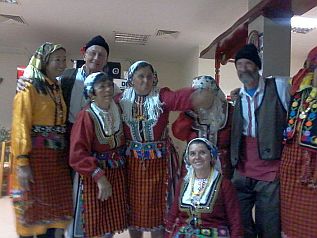
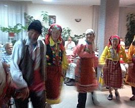
jam. (buy drinks for you in the little shop in the village). You will not regret, over more everything here is in a very nice price. Many times we have spent a great time in this place. No problem to arrange a show - a performance of the local, you can take part in it redressing like them as well. |
|
|
|
 |
 |
 |
 |
|
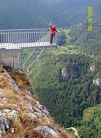
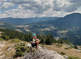
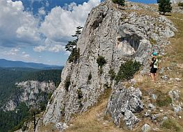
The reason to stay in Yagodina is the possibility to walk up the mountain to “St. Ilia” Pick and visit so called “Eagle eye” – a platform over the precipice, or a bridge to nowhere according to me. The walk up the mountain |
(the blue line from Cottage Zdravets) is no more than 1h 20 min slowly walking. The view from the platform cannot be compared with anything. Always I have heard people reaching this place to say "Oh boy !!!" . . . |
|
 |
||
|
|
|
 |
|
|
|
|
|
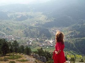
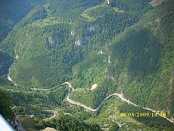
On the right photo you can see the road you bicycled before reaching Yagodina. If I must be true, I have never stood on this platform. This photo is not mine . . . But all the other ones are mine :) |
||
 |
|
 |
|
|
 |
|
|
In the back direction you can use the trail: the dashed red line on the map above. You will see everything from another point of view. |
||
|
|
|
 |
|
|
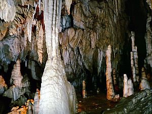
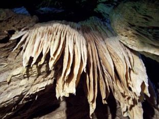
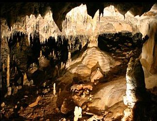
No problem to rent a Jeep and visit the pick, if you are tired to walk - there is not any problem to arrange it. But I think it is not a pleasure to drive the car along this terrible road. The walk is much more exciting. The last opportunity here is to visit Yagodinska Cave - one of the best in Bulgaria. There is a convenient track in the cave. If there is a group of 5 – 6 tourists, a guide will show you the cave. Have in mind inside the cave is quite cool, 4 deg above freezing, you need a jacket to walk in it. There is a restaurant near the cave. Information for the cave: |
|
 |
 |
 |
Trigrad
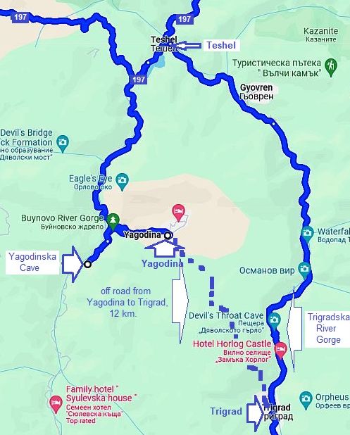
If the weather is nice, it would be better to head towards Trigrad, heading to the small chapel next to Yagodina. It would be very nice to see the next gorge - Trigradska River Gorge (it is almost parallel to Buinovska River Gorge). There is 12 km off road between Yagodina and Trigrad. Have in mind that in wet and raining time there are pools and mud along this road.
Have in mind, that in the region there are bears as well. So far, just here still nobody was injured by a bear. I toured here many times, there are tourists, shepherds, woodcutters in this region, it seems bears prefer to be away from that entire clamour.
The next photos are the area between Yagodina and Trigrad (the off road). When you reach the flat area above Yagodina, turn to right and enter in the wood - the road is signed, although the pointed distance is not correct. |
||
|
|
|
 |
|
|
|
|
|
|
|
 |
|
|
||
|
|
|
|
|
The overnight accommodation in Trigrad is not a problem. Information for Trigrad can be seen here: http://www.visitbulgaria.net/en/trigrad/trigrad.html https://bulgariatravel.org/en/the-trigrad-gorge/ |
||
|
|
|
|
| A beautiful area for camp in the wilderness is south from Trigrad toward Zhrebevo. | ||
|
|
|
|
|
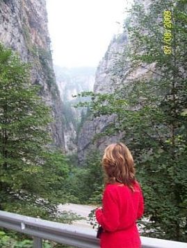
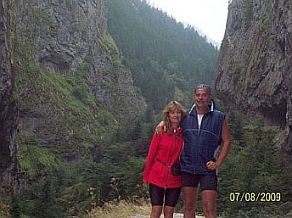
Already you are in the next impressive gorge of Trigradska River. Going down the gorge, you can stop and walk inside "Devil's Throat" Cave (the place is well labeled), or only to the place where Trigradska River |
disappears into it (the last three photos). Information for this cave can be seen here: |
 |
|
|
 |
|
|
|
|
|
|
|
If you hate off road, you can pedal to Trigrad beginning from Yagodina back to Teshel.
|
||
|
|
|
|
|
|
|
|
|
Leaving Trigrad, just begin going down it you will see a label and instructions how to behave when meet a bear (just here you will never meet a bear). Pedaling down the gorge just after Devil's Throat Cave there is not long but dark and narrow tunnel. Usually here there is not any traffic, the cars here are |
|
driving very slowly, but if while you are in the tunnel and see cars lights inside it, do not be afraid and do not tight the brakes strongly. Very often the road is wet, and you may lose control on the bike. I remember such a case, fortunately the bicyclist succeeded to keep control on his bike and there was not an accident. |
|
|
|
 |
|
|
||
| Sector VII. 6 - C |
d.jpg) Sector VII. 6 - C From Devin to Shiroka Laka to Smolyan
Route A I will start with the route A saying immediately that this route must be avoided ! From Point A (road N 197) toward Mugla and Smolyan. |
 |
||
|
As it can be seen on the photo below (I took it just at point A road N197), it is not easy to guess where is the crossroad toward Mugla, because the bridge over the |
river was broken many years ago, in fact there are not even any bridge remains. The road is not signed as well. |
|
|
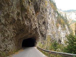
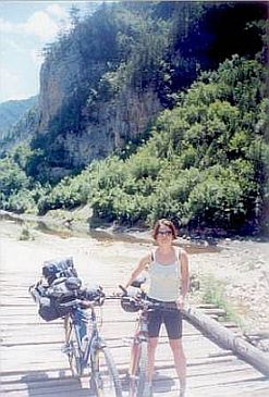
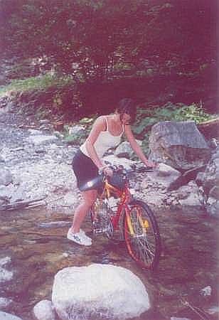
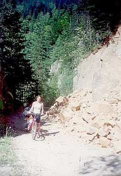
The road also is not maintained more than 50 years. Bridges are broken, there are rocks on the road. The 3 photos I have post down were taken July 2003 – I and my daughter Maya explored this area. We bicycled this road one afternoon and the next day at 11 am we were in Mugla. When we reached Mugla people in it told as, we are surely empty head bicyclists, because it is just the region where bears are living.
Climbing here is not hard, but very often we had to push our bikes because of the broken road. The nature here is extremely beautiful (have food with you).
The climbing ends 6 - 7 kilometers east from Mugla, where the road toward Smolyan is nice.
|
|
The climbing in the back direction: from Smolyan to Mugla is very hard. I would not do it. My suggestion is to miss this route. In the end I want to mention that there is |
a road from Trigrad toward Mugla, recommended to bicyclists, but I did not explore it. |
 |
 |
 |
|
Mugla is the most remote village in Bulgaria according to me. I think accommodations is available there, because |
last years some curious tourists are visiting it. A little information for it: |
 |
 |
 |
|
Next are routes I recommend for pedaling from Devin to Smolyan: - Route B - a: From Devin to Shiroka Laka to Stoykite to Smolyan;
- Route B - b: From Devin to Shiroka Laka to Pamporovo to Smolyan;
- Route B - c: From Devin to Shiroka Laka to Pamporovo to Rozhen to Smolyan. (this route I traveled only by car)
|
||
| The climbing along route a) is the biggest, but the scenery here is the best. Other 2 routes b) and c) also are beautiful. I would say no matter which one you will choose, | the entire area here is very scenic, you will spent a nice time there. Climbing West – East is easier than the opposite direction. | |
|
Route A - a |
||
|
Beginning from Devin, the climbing toward Shiroka Laka is permanent and not hard, pedaling up the mountain is easy and pleasant. There is very little traffic here. Cool |
drinkable water is available very often along the road. The road is steeper after Stoykite toward Pamporovo. Next six photos show the road toward Shiroka Laka. | |
 |
|
 |
|
|
|
|
|
Shiroka Laka is a small village saving its XIX century architecture - it is an architecture reserve. The overnight accommodation in it is not a problem. Information for Shiroka Laka: http://www.visitbulgaria.net/en/shiroka_laka/shiroka_laka.html https://bulgariatravel.org/en/shiroka-laka-village-architectural-reserve/ |
||
|
|
|
|
|
|
|
|
|
|
 |
|
| Towards and after Stoykite | ||
|
|
|
|
 |
|
|
| The middle photo (the little chapel and our tent) is the Pass. There is a nice spring of drinkable water just near the chapel. | ||
|
|
|
|
|
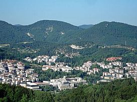
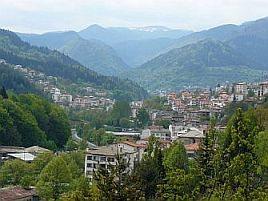
The biggest town in Rodopi Mountain is Smolyan, it is at least 30 kilometers long. Again, people use it as a base for Pamporovo skiing resort, so summer time it is not overcrowded by the tourists. |
Further the road is going down toward Smolyan - a steep long descending. There are several small lakes just before enter in the town. |
 |
 |
 |
|
Route B - b |
||
|
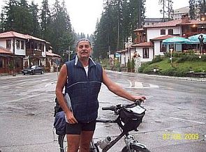
Toward Pamporovo. This route is a little longer than the previous one and it is a little bit easier. Pamporovo is the most popular winter skiing resort in Bulgaria. Six - seven feet of snow are usual for this place. Skiing there |
is possible to the middle of April. Many tourists from GB and Scandinavia are coming here winter time. Information for Pamporovo: https://bulgariatravel.org/en/pamporovo/ Several photos of the road toward Pamporovo and Pamporovo Skiing Resort. |
|
|
|
|
|
|
|
|
|
 |
|
|
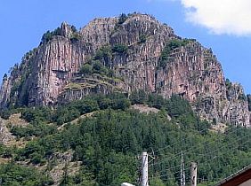
Further the road is going down toward Smolyan - again a steep long descending. The rocks over the town are very impressive but my photographs skills are very poor to show it. |
||
|
|
 |
 |
|
The biggest town in Rodopi Mountain is Smolyan, it is at least 30 kilometers long. Again, people use it as a base for Pamporovo skiing resort, so summer time it is not overcrowded by the tourists. The rocks over the |
town are very impressive but my photographs skills are very poor to show it. Information for in and interesting spots near it can be found in the next site: |
 |
|
|
|
|
|
|
Route B - c From Devin to Shiroka Laka to Pamporovo to Rozhen to Smolyan. It is the longest route, it is appropriate if you intend to miss Smolyan and go further to east. (this route I traveled only by car). |
| EASTERN RODOPI MOUNTAIN | ||
|
As a bases for exploring the east part of Rodopi Mountains can be used Plovdiv, Haskovo (or Dimitrovgrad), Harmanli, or simply you can go east from Smolyan. Three Border Checkpoint are available between Greece and Bulgaria in the same area: |
Zlatograd, Makaza and Ivaylovgrad. The traffic in whole region is very little except along the route from Haskovo to Kardzhali to Border Checkpoint Makaza especially July and August, when tourists from Romania and Bulgaria use this route to spend their vacancies at the Aegean in Greece. |
|
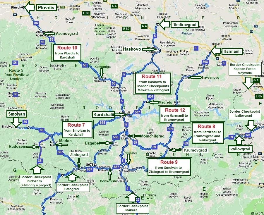 |
||
|
|
||
|
Route 7 From Smolyan to Kardzhali |
||
| The route 7 can be regarded as an extension of the last one for the West Rodopi Mountain (route 6). I finished with Smolyan, now I will go further: east from Smolyan to Kardzhali and Ivailovgrad at the Bulgaria/Greece border. | The route from Smolyan to Kardzhali is almost 90 km., I would say it is easy and pleasant for pedaling in both directions. | |
|
|
||
|
I have shown here two alternatives: Route a - a longer route for bicyclists having time and loving the wilderness and Route b - directly to Kardzhali: Route a: From Smolyan to Smilyan to Byala Reka to Rudozem to Srednogortsi to Tsirka to Vehtino to Svetulka to Ardino to Chubrika to Kobilyane to Boino to Kyosevo to Kardzali. |
(have in mind the road between Smilyan and Rudozem is a dirty one);
And the next one directly to Kardzhali: Route b: From Smolyan to Vlahovo to Podvis to Taran to Ravnista to Ardino to Kardzali. |
|
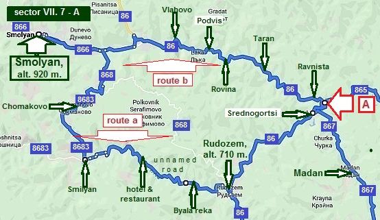
Sector VII. 9 - A
Route a: From Smolyan Chomakovo to Smilyan to Byala reka to Rudozem to Srednogortsi to Point A (the crossroad of roads N867 and N865).
On the road profile chart below can be seen that between Smolyan and Smilyan there is an additional hill (please, notice my partner on the second photo below :).
Food can be find out in Smilyan. |
||
 |
||
|
|
|
|
|
Two - three - fore kilometers, I do not remember well, east from Smilyan is located "Eco complex Smilyan"; the trout they cook in the restaurant is really the best. Very nice spot! The area here is beautiful, you will not see any cars here. |
||
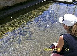 |
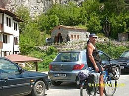 |
|
|
|
|
| Further the road is dirty, maybe to Rudozem, I do not remember well (When I toured here I still did not know I will do this my Home Page). A reservoir will be built here, but nobody knows when it will happen. | ||
|
|
|
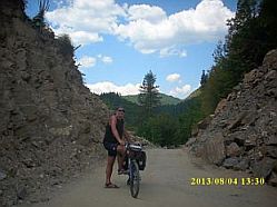 |
|
Although overnight accommodation in Rudozem is available, the little town is not nice, miss it. Very little information for it can be seen here: |
A better place for overnight accommodation is Madan, although it is not just on the route, it is 4 - 5 km right. Very little information for it can be seen here: |
|
|
 |
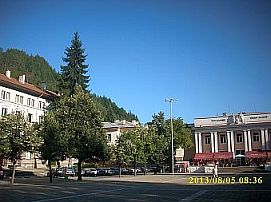 |
| The road N868 (the map above) also can be used from Smilyan to Rudozem, but I still do not pedal it. I will not give information for the route from Madan to Zlatograd (road 867) due to the same reason. This route is still in my plans. | ||
|
Route b: From Smolyan to Vlahovo to Podvis to Taran to Ravnista to point A (the crossroad of roads N867 and N865). Road profile chart shows that this route is much easier comparing with the previous one.
|
||
|
|
|
|
|
After the point A both routes a & b coincide toward Kardzhali.
The road segment is nice for pedaling, a longer (approx 7 kms) and harder for climbing hill is after Ardino. |
||
|
|
 |
|
|
|
|
|
|
|
|
|
|
Overnight accommodations in Ardino are available. Information for the town: |
||
|
|
 |
|
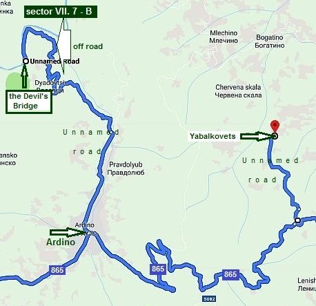
Sector VII. 9 - B Here I will increase a little the scale to show two nice opportunities in this region. If you decide to stay in Ardino for an afternoon, you can visit so called the "Davil's Bridge" built in the beginning of XVth century. There are signs toward it. In the summer '15 the road toward it was in reconstruction, I believe it is ready now. Have in mind that the last 2 kilometers are a steep off road down the bridge, it would be better to lock bikes (there is a little parking place) and walk down the bridge.
|
||
 |
||
|
|
|
|
|
Information for the Bridge: |
||
|
|
|
|
|
An opportunity for overnight accommodation in this region is hotel "Mountain view" next to Yabalkovets, very nice spot to relax. |
||
 |
|
|
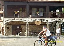 |
|
|
|
Finishing the ascend after Ardino, a long downhill to Kardzhali follows. A lot of information for Kardzhali can be seen here: http://www.visitbulgaria.net/en/kardjali/kardjali.html https://bulgariatravel.org/en/town-of-kardzhali/ |
||
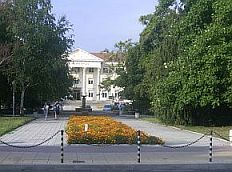 |
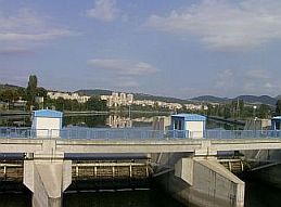 |
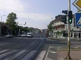 |
|
|
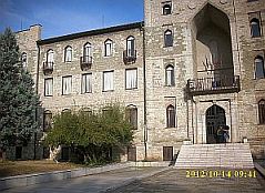 |
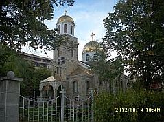 |
|
Route 8 From Kardzhali to Ivailovgrad The route I will describe here is:
From Kardzhali to Momchilgrad to
Krumovgrad to Ivailovgrad to border checkpoint Ivailopvgrad
|
||
|
Everything I can say for this last road segment of East Rodopi Mountain is that you will enjoy of a nice area and roads without any traffic. The countryside is especially scenic to 15 - 20 of June, when everything is still green, later with the summer progress the picture |
is in yellow, especially the lower part of the region. Have in mind here there is not so many water springs; as long as you will see water springs, the water is not so nice as in the west part of Rodopi Mountains. So bring a water with you. |
|
|
|
||
|
For more detail information, I will split the route in two sections:
Sector VII. 8 - A Just after Kardzali you will be on the road N5 toward Border Checkpoint Makaza. It is closed for trucks heavier than 3,5 metric tons, never mind in the tourist season the traffic here is relatively intensive, especially in the tourist season June - August. Just on the crossroad toward Momchilgrad and Krumovgrad there is a hotel&swimming pool - the place is well signed. The road profile chart shows a relatively considerable ascending after Momchilgrad. |
||
 |
||
| The countryside toward Krumovgrad | ||
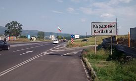 |
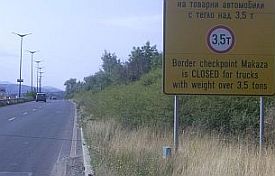 |
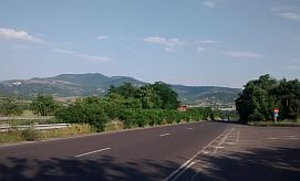 |
|
|
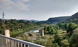 |
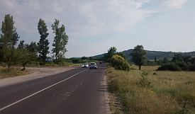 |
|
Soon after the label pointing Momchilgrad, you will enter in it. |
||
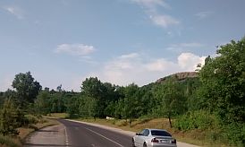 |
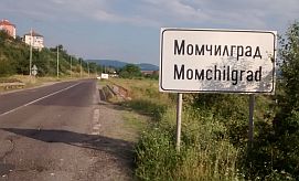 |
 |
|
Very little information for Momchilgrad is in the next link; overnight accommodation in it is possible, you can find a hotel leaving the town toward Podkova (the |
last photo below). http://www.guide-bulgaria.com/SC/kardjali/momchilgrad/momchilgrad Several photos from the little town: |
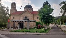 |
 |
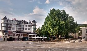 |
|
The next route toward Krumovgrad is without any traffic, the road is in very nice condition. I pedaled it in the hot August '17, I remember the place is dry, so bring water with you. |
On the highest point of the route there is a little restaurant and drinkable water. Countryside is beautiful, although I think it will be much better May and June. |
|
|
|
|
|
|
|
|
| Once reaching the highest point, a beautiful descending follows. I think in the back direction the climbing will be harder. | ||
|
|
|
|
|
|
||
| Sector VII. 8 - B | ||
|
Here I will elongate the route a little including Edirne in Turkey - I know some of bicyclists use this route to cross Bulgaria. The next route is: From Krumovgrad to Ivailovgrad to Edirne. The best place to cross Bulgaria/Greece border is |
border checkpoint Ivailovgrad - there is not any traffic here. Border Checkpoint Capitan Andreevo at Bulgaria/Turkey border (in red on the map below) is extremely overcrowded, so do not use it ! |
|
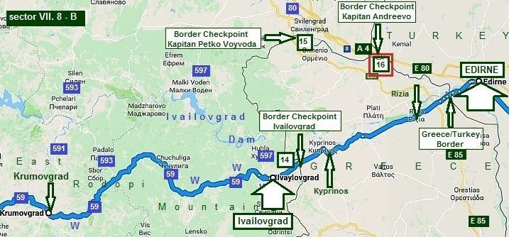 |
||
|
Although I point several places where a drinkable
water is available, in my memories this place is very dry. Food is not
available between Krumovgrad and
Ivailovgrad as well, so be careful with your provisions just here.
|
||
|
According to Google Map in Krumovgrad are available two hotels (the first photo below is the hotel in the town center), but I can not find any English language |
information for it. A little information for Krumovgrad: http://www.guide-bulgaria.com/SC/kardjali/krumovgrad/krumovgrad |
|
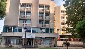 |
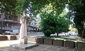 |
 |
|
Believe me, in the hot summer days the distance from Krumovgrad to the highest route point (23 kilometers) is tough. Summertime the place is sunny and hot. The spring of water often are dry, the water is not very nice |
for drinking. The road is absolutely empty, I will be not surprised, if you see a car to Ivailovgrad. Never mind on some photos below you will see sights for villages, there is not food shops and water there. |
|
|
|
|
|
|
|
|
|
When you see the spring on the last photo above, it means you are very close to Ivalovgrad; it is a little border town, 5 hotels are available in it according to Google Map, |
again I can not find any English language information for it. Some information for Ivailovgrad: |
|
|
|
|
|
Go east, if you have to leave Bulgaria - the road toward Birder Checkpoint Ivailovgrad is signed well. Nobody there. I think this Border checkpoint is nice to enter in Bulgaria and explore Rodopi Mountain in direction east - west. |
||
|
|
|
|
|
Route 9 From Smolyan to Madan to Zlatograd to Podkova to Krumovgrad to Ivailovgrad
This route is an alternative of Routes 7 & 8 (from Smolyan to Ivailovgrad), it is intended for bicyclists having more time and love mountains, hills and roads without any traffic.
|
||
|
The route 9: From Smolyan to Madan to Zlatograd to Benkovski to Podkova to Krumovgrad to Ivailovgrad, and it includes road segments from Smolyan to Madan |
and from Krumovgrad to Ivailovgrad described in the previous points route 7 and route 8 respectively, so next I will write only for the route from Madan to Zlatograd to Benkovski to Podkova to Krumovgrad. |
|
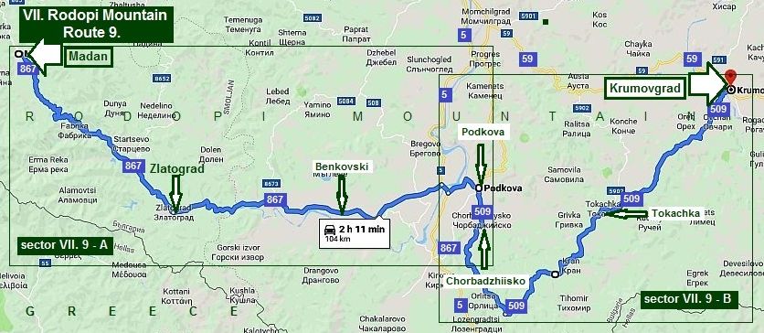 For more detail information, I will split the route in two sectors: sector VII. 9 - A
|
||
|
I have never travelled the route from Madan to Zlatograd neither by a car nor by a bike. The road profile chart shows |
that this distance is not hard to be pedaled and I know the road is with very little traffic traffic and it is in very nice conditions as well. |
|
|
Zlatograd is a tourist place, but it is not overcrowded by tourists. There is a nice ethno complex in the town. Information about Zlatograd is available here: https://bulgariatravel.org/en/zlatograd/ http://www.visitbulgaria.net/en/zlatograd/zlatograd.html |
||
|
|
|
|
|
|
|
|
|
Each year in the early September it the town there is a festival. If toy love a crowd, noise, BBQ, it is your place. |
||
 |
 |
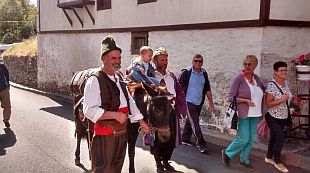 |
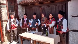 |
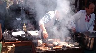 |
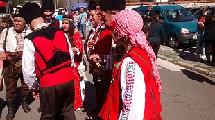 |
| The pedaling from Zlatograd to Podkova is a real pleasure. The road is next to Varbitsa River almost all the distance. | ||
|
|
|
|
| An interesting rock formation of ancient volcanic rocks it follows further. There you can see so called "crocodile". | ||
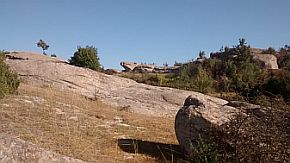 |
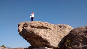 |
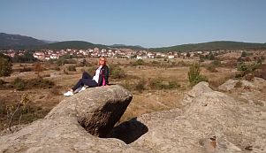 |
| The entire area is very appropriate for a camp in the wilderness, | ||
|
|
|
|
|
If you do not love ants, beetles and spiders you can go in Benkovski. Before it and after it there are 2 places to relax. The first one is next to the road, for the second one there is a label. |
||
|
|
|
|
|
|
 |
|
| sector VII. 9 - B | ||
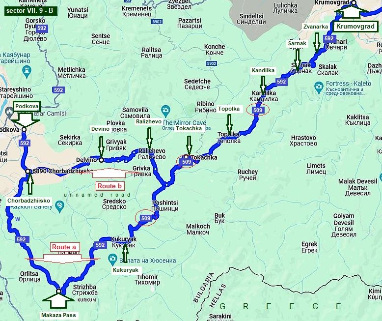 |
||
|
There two routes from Podkova to Krumovgrad: Route a: From Podkova to Chorbadzhiisko to Kukuryak to Tokachka to Topolka to Kandilka to Sarnak to Zvanarka to Krumovgrad. The route is touching Bulgaria/Greece border. It is a remote place, so I will be surprised if you see a car here. The only exception are border police cars, maybe the border police will ask you for your documents, it simply is due to curiosity, nothing else. Knowing the logic of road |
numbering, I am surprised to see that from Kukuryak to Kandilka the road number is 509, I believe there is something wrong on the map.
Route b: it is a shortcut from Chorbadzhiisko to Devino to Ralichevo to Tokachka to Krumovgrad. Although the road profile chart shows that route a shows some altitude gain, I think it is nice for bicyclists loving the wilderness. |
|
 |
||
|
Chorbadzhiisko is the last village you can supply with food. My suggestion is to bring enough water for you, although along the road there is a water spring. |
The next 9 photos illustrate the area from Chorbadzhiisko to Makaza Pass. |
|
 |
 |
 |
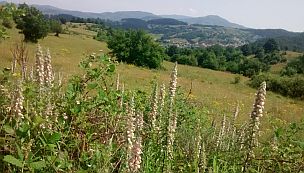 |
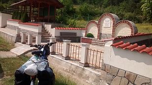 |
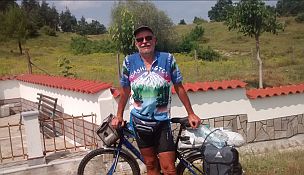 |
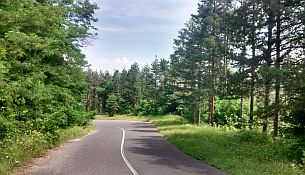 |
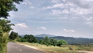 |
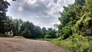 |
|
Once reaching the Pass, you will enjoy of pleasant down the mountain pedaling. There are several villages along the road, so supplying with water and food here is not a problem. Bring spray against dogs here. |
||
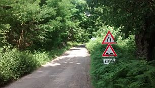 |
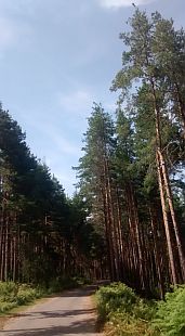 |
 |
 |
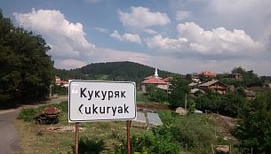 |
|
 |
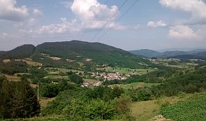 |
|
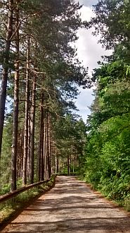 |
 |
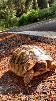 |
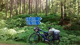 |
||
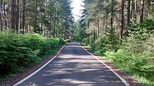 |
||
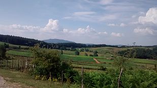 |
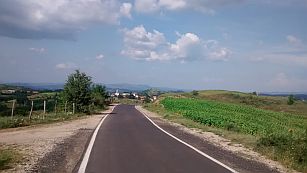 |
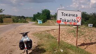 |
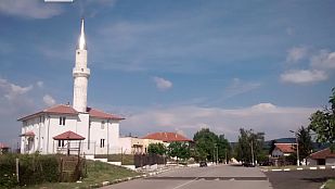 |
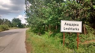 |
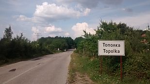 |
 |
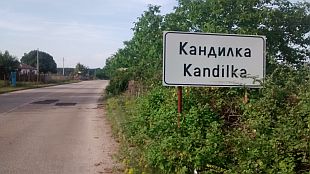 |
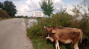 |
 |
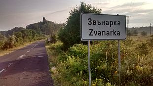 |
 |
|
According to Google Map in Krumovgrad are available two hotels (the first photo below is the hotel in the town center), but I can not find any English language |
information for it. A little information for Krumovgrad: |
 |
 |
 |
|
From Krumovgrad you can head toward Ivailovgrad (the Route 8, or toward Madzharevo and Harmanli - the route 12). Route b
I still did not explore this route, obviousli it is shorter comparing with Route a, tye climbing here is much less. |
||
|
Route 10 From Plovdiv to Kardzhali
|
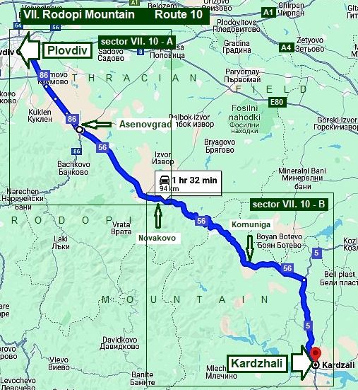
Route 10 From Plovdiv to Kardzhali
This route is nice to enter in Rodopi Mountain starting from Plovdiv. The road is in a nice condition, pedaling is safe. You will find springs of drinkable water and food.
The road profile chart shows that the pedaling is in the mountain area except several kilometers in Thracian Field between Plovdiv and Asenovgrad.
|
 |
|
For more detail description, I will part it in two sectors.
Sector VII. 10 - A
The route in this sector is: From Plovdiv to Asenovgrad to Cherven to Dolnoslav to Novakovo.
The road segment from Plovdiv to Asenovgrad is still in Thracian Field. There can be heavy traffic on this road. The road has been recently resurfaced. The road is wide enough and pedaling here is safe.
The election gain to Novakovo is almost 300 m., over a short distance. There will be a steeper hill after Asenovgrad.
The last time I pedaled this route was a June Sunday afternoon 2019, the traffic between Cherven and Asenovgrad was heavy. |
 |
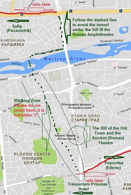 |
Plovdiv is a popular tourist destination in Bulgaria. So you may find the city has heavy traffic. Detail information for Plovdiv can be seen here: https://en.wikipedia.org/wiki/Plovdiv
https://bulgariatravel.org/plovdiv-city/
https://bulgariatravel.org/en/plovdiv-city/
On the map I have shown the way to cross the city of Plovdiv by the green dashed line in order to avoid the tunnel under the hill with the Ancient Amphitheatre on it, although it is not a problem to pedal it.
I have pointed the walking area in the Plovdiv city (the next several pics.) beginning with the walking bridge on Maritsa River by the dashed green line – use it. (DO NOT PEDAL THERE !!!, - it is forbidden, only walk !!!) |
|
|
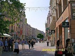 |
|
|
|
|
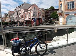 |
| The History Hill of the Old Town and the Ancient Amphitheatre on it. | ||
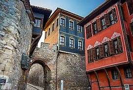 |
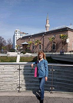 |
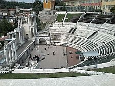 |
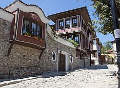 |
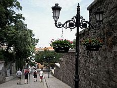 |
|
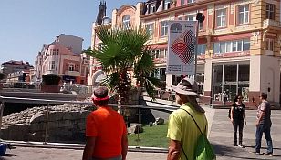 |
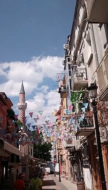 |
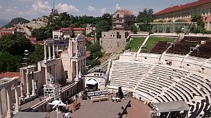 |
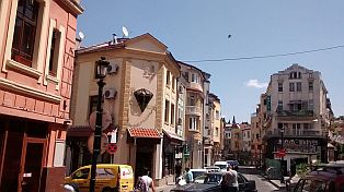 |
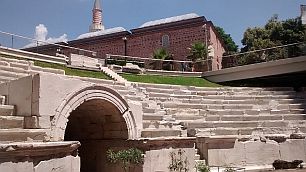 |
|
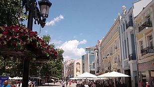 |
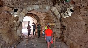 |
|
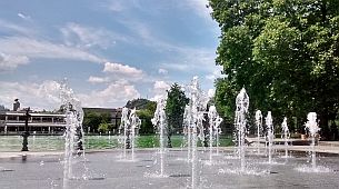 |
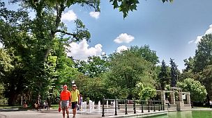 |
 |
|
The next link is a map for the velo lanes in Plovdiv https://www.velo-plovdiv-tourist-map.truenorth.bg/
There can be a lot of traffic from Plovdiv to Asenovgrad. But, the road has been resurfaced, wide, and I think it is safe to pedal. |
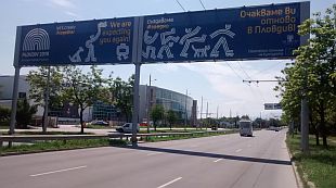 |
 |
 |
|
The road toward Kardzhali in Asenovgrad is signed well, if you follow signs, you will not enter in the town center. Overnight accommodations in Asenovgrad is available. |
Information for Asenovgrad: https://en.wikipedia.org/wiki/Asenovgrad http://www.visitbulgaria.net/en/assenovgrad/assenovgrad.html Several photos from Asenovgrad |
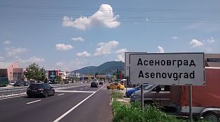 |
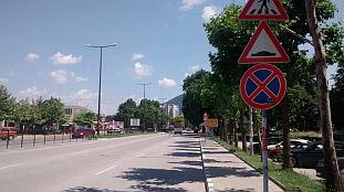 |
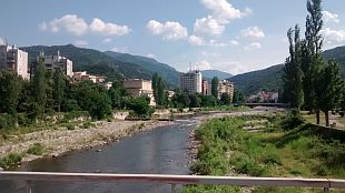 |
|
|
|
|
|
|
|
|
Above the town are remains of a mediaeval fortress: https://bulgariatravel.org/en/asens-fortress-and- The church you see on the second photo is used as a |
label of exceptionally aromatic local type red wine named "Màâðóä" (Mavrud). Try it, you will not regret, you can find it almost everywhere for 3-4 EURO/bottle. |
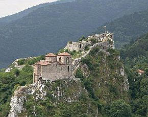 |
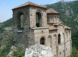 |
|
|
Leaving Asenovgrad you will start climbing Rodopi Mountain. The first village after Asenovgrad is Cherven, where a huge tree can be seen, the overnight accommodation is available here as well - there i a big hotel placed just near the road. |
||
 |
 |
 |
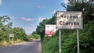 |
 |
|
 |
 |
|
| In the next villages food is available except Novakovo. The entire area after Asenovgrad is nice to camp in the wilderness. | ||
 |
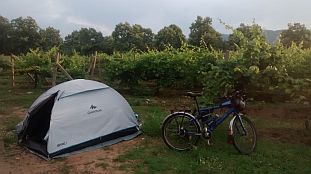 |
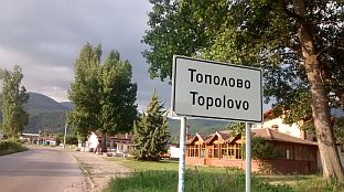 |
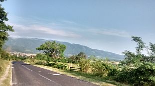 |
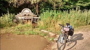 |
 |
|
|
||
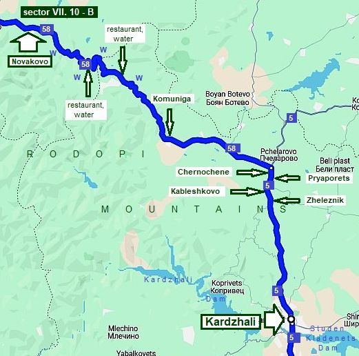
Sector VII. 10 - B
It is extremely pleasant mountain area. The climbing after Novakovo is long but not hard and if you are earlier in the morning there, you will climb on the shade.
|
||
|
Eight - nine kilometers after Novakovo there is a restaurant and cool water, a nice spot to relax. |
||
 |
 |
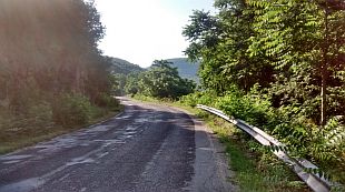 |
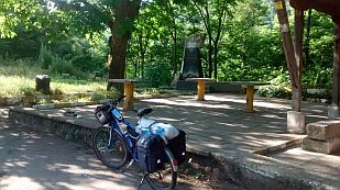 |
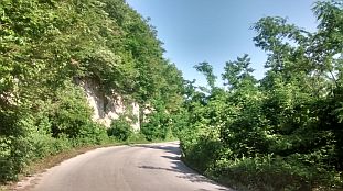 |
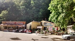 |
| Several kilometers further (again 7 - 8 km; at the crossroad toward Panickovo, if my memory serves) again there is a restaurant and water. | ||
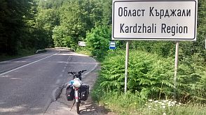 |
 |
 |
| The country side toward Komuniga and the main road N5 | ||
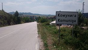 |
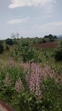 |
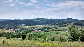 |
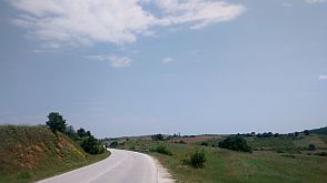 |
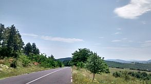 |
|
 |
 |
|
|
The main road N5 is with a heavy traffic, but it is wide enough and I think it is save. Unfortunately no any shade |
here and summer afternoons are a little tough for pedaling here. After Kableshkovo there 2 not so long hills, where the slope is 10 %. |
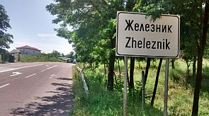 |
 |
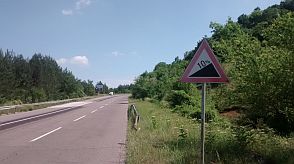 |
 |
 |
 |
| Just before Kardzhali there is a steep 7 - 8 km descending. The slope here is even 12 %, and the pedaling the back direction will be not easy, do it only early in the morning. | ||
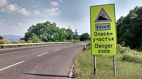 |
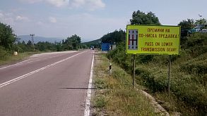 |
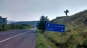 |
 |
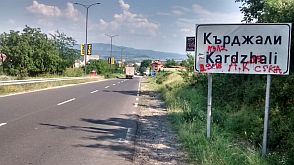 |
 |
|
A lot of information for Kardzhali can be seen here: http://www.visitbulgaria.net/en/kardjali/kardjali.html https://bulgariatravel.org/en/town-of-kardzhali/ |
||
 |
 |
 |
|
|
 |
 |
|
Route 11 From Haskovo to Border Checkpoints Zlatograd & Makaza
|
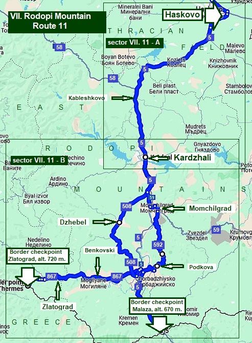
I split the Route 11 in two:
Route 11. 1 From Haskovo to Border Checkpoint Makaza
&
Route 11. 2 From Haskovo to Border Checkpoint Zlatograd
What about point 11. 1, I can say the road (N5) is in very nice conditions and all that area is very nice countryside. Because of the more intensive traffic here, further in my description I will try to avoid road N5 as much as possible The route is: From Haskovo (road 5) to Kableshkovo to Kardzhali to Momchilgrad (road 592) to Podkova to Border Checkpoint Makaza (road 5).
The next route Point 11. 2 is very nice for pedaling as well: From Haskovo (road 5) to Kableshkovo to Kardzhali to Dzhebel (road 506) to Benkovski (road 867) to Zlatograd to Border Checkpoint Zlatograd.
|
|
|
|
Sector VII. 11 - A Routes from Haskovo to Kardzhali
For the route from Haskovo to Kardzhali I will suggest three routes:
- route a: On the main road (N5): the distance from Haskovo to Kardzhali is approx 50 km: From Haskovo to Konush to Kozlets Pchelarovo to Chernoochene to Kableshkovo to Zheleznik to Kardzhali.
As the traffic on the road N5 is busy some days, you can follow some of the next two routes: - route b: From Haskovo to Konush to Kozlets to Zornitsa (road 5009) to Beli Plast to Stremtsi to Rani List to Skarbino to Kardzhali; (for the route 2 further I will show 2 alternatives) - route c: From Haskovo to Manastir to Knizhovnik (road 507) to Dolno Voevodino to Gorno Voevodino to Maslinovo to Most to Madrets to Zhinzifovo to Sedlovina to Kardzhali.
|
 |
Haskovo is relatively big town, overnight accommodation is possible in it. Information for it can be seen here: |
|
|
|
|
|
|
On the map above I point a spot Mineral Bath 10 - 12 kilometers west from Haskovo (roads N 506 and 806) , it is a nice local SPA resort with very nice thermal water: http://www.guide-bulgaria.com/SC/haskovo/mineralni_bani/mineralni_bani |
||
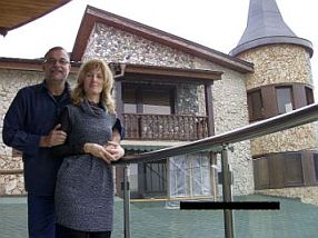 |
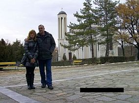 |
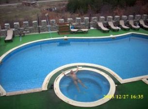 |
| Several photos of Haskovo | ||
 |
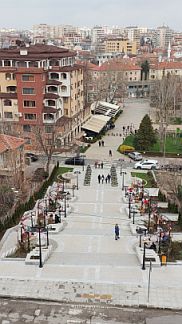 |
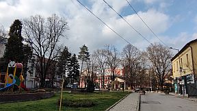 |
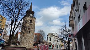 |
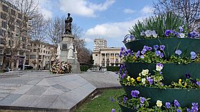 |
|
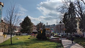 |
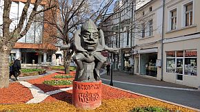 |
|
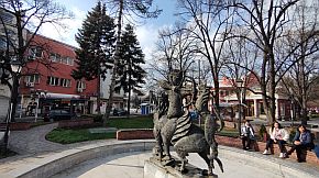 |
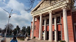 |
 |
|
Sector VII. 11 - A Route a It is the main road N5 from Haskovo to Kardzali; as a mountain area, the route includes a lot of ascending and descending: From Haskovo to Konush to Kozlets Pchelarovo to Chernoochene to Kableshkovo to Zheleznik to Kardzhali.
The road from Haskovo to Kozlets is relatively easy for pedaling. Food is available in both villages Konush and Kozlets. |
||
|
|
|
|
|
The distance between Kozlets and Pchelarovo I traveled only by a car. The next several kilometers between Chernochene and Kardzhali include 3 not long hills of 10 - 12 % slopes. |
||
 |
 |
 |
 |
 |
 |
|
If you travel the reverse direction - from south to north, after Kardzhali you will pedal up 6 very difficult kilometers. The hill can be quite tough to pedal it in the hot summer |
afternoons. Some days the traffic here is intensive, never mind the road is closed for trucks heavier than 3,5 metric tons. |
 |
 |
 |
 |
 |
 |
|
Sector VII. 11 - A Route b To avoid the road N5 I will give two opportunities: Route b, 1: From Haskovo (road 5) to Konush to Kozlets (road 5009) to Zornitsa to Beli Plast to Stremtsi to Rani List to Soliste to Skarbino to Kardzhali.
If you choose this road, after Kozlets you will pedal a road without any traffic. An interesting spot here on the highest point (north from Beli Plast) is the place with the stone mushrooms: https://bulgariatravel.org/en/kamenni-gabi-stone-mushrooms-natural-landmark/ |
||
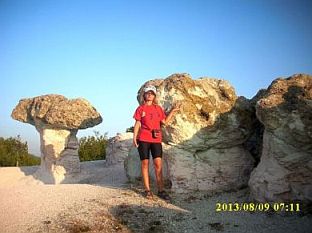 |
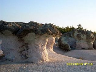 |
|
|
Next to Stremtsi is placed a little vacancy village "Vili Perpereshka Reka"; water, restaurant and overnight |
accommodations are available there: |
|
Route b, 2: A little longer, but much more scenery is the road: From Haskovo (road 5) to Konush to Kozlets (road 5009) to Zornitsa to Beli Plast to Stremtsi to Gorna Krepost (road 5071) to Chiflik (road 507) to Zhinzifovo to Sedlovina to Kardzhali.
|
||
|
If you pedal in the back direction, I would recommend this route to avoid the hard climbing north from Kardzhali. |
A place you can visit here (if you love rock remains) is Perperikon. Information for it: |
|
 |
|
|
|
Sector III. 12 - A Route c From Haskovo to (road 505) Manastir to Knizhovnik (road 507) to Dolno Voevodino to Gorno Voevodino to Maslinovo to Most to Madrets to Zhinzifovo to Sedlovina to Kardzhali.
|
||
|
The distance here is almost the same as of the other routes, but here there is not any traffic. Never mind that just after Haskovo you will see a sign directing heavier |
tracks to follow this road, you will not see here such a tracks. Especially after Manastir, you will be alone on the road. |
|
|
|
|
|
|
Food and water supply here is not a problem. Several kilometers south from Manastir there are 2 restaurants near the road. |
||
|
|
|
|
|
|
|
|
|
A lot of information for Kardzhali can be seen here: http://www.visitbulgaria.net/en/kardjali/kardjali.html https://bulgariatravel.org/en/town-of-kardzhali/ |
||
 |
 |
 |
|
|
 |
 |
|
Sector VII. 11 - B From Kardzhali toward Border Checkpoint Makaza Route a. 1 |
||
|
In the tourist season, July and especially August, there are days when the road N5 is very busy. On the Border there is a tunnel, it is because I do not |
recommend this route. Photos below are of border checkpoint Makaza, when tourists from Romania are visiting Greece Mediterranean. |
|
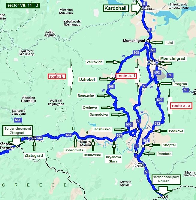 |
 |
 |
|
 |
|
|
Route a. 1 it is the main road 5 from Kardzhali toward border checkpoints Makaza - Thermes. As it can be seen from the road profile chart all of this area is extremely nice to be explored by bicycle.
|
|
|
It is a newly built road and it is in very nice condition. The road is along Varbitsa River. There are water springs and blackberry bushes along the road. |
|
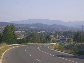 |
|
|
|
|
|
|
|
|
|
|
|
As an alternative, you can use route a. 2 Form Kardzhali (road 5) to Momchilgrad (road 59) to Progres (road 592) to Podkova (road 867) to Shoptsi to Domiste (road 55) to Border Checkpoint Makaza
Comparing to the route a. 1, here you will climb a lot. The advantage is that there is not any traffic here and the countryside is beautiful. Leaving Kardzhali, be sure to find the road toward Momchilgrad. |
||
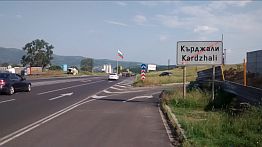 |
 |
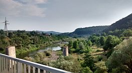 |
 |
 |
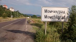 |
|
There is a little information for Momchilgrad is in the next link. Overnight accommodations are available. |
You can find a hotel leaving the town toward Podkova. |
 |
 |
 |
| Leaving Progres, you will climb a lot. The hill is not steep. There are a lot of water springs, but water is not really tasty here. The area is beautiful to be explored May - June as everything there is still green. | ||
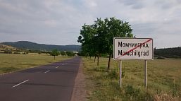 |
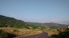 |
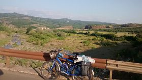 |
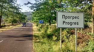 |
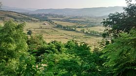 |
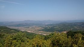 |
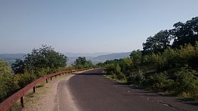 |
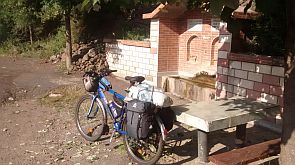 |
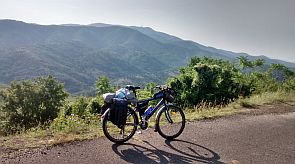 |
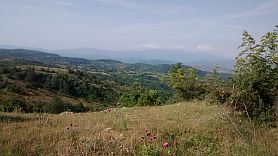 |
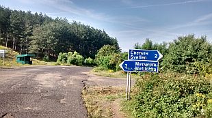 |
 |
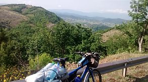 |
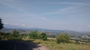 |
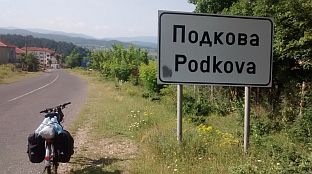 |

Sector VII. 11 - B From Kardzhali toward Border Checkpoint Zlatograd
Route b
It is a really nice area to explore. Along the road there are springs of water. There is hardly any traffic here. In villages have food shops. The blackberries are everywhere along the road. |
||
|
|
||
|
|
|
|
|
|
|
|
|
Dzhebel is a little town. Google says there is a possibility for overnight accommodations there. Some information for Dzhebel Municipality can be found here: http://www.guide-bulgaria.com/SC/kardjali/djebel |
||
|
|
|
|
|
Leaving the little town you will cross very nice clean river - a perfect place to relax and charge with energy because further ahead there are 2-3 nice hills. On the top of the first there is beautiful cool fresh water. |
||
|
|
|
|
| The entire area is very appropriate to camping in the wilderness. | ||
|
|
|
|
|
If you do not love ants, beetles and other insects you can go to Benkovski. Before and after there are 2 motels to relax. The first one is next to the road, for the second one there is a sign. |
||
|
|
|
|
|
|
 |
|
| An interesting rock formation of ancient volcanic rocks follows further. There you can see so called "crocodile". | ||
 |
 |
 |
| Further toward Zlatograd the road is easy for pedaling. | ||
|
|
|
|
|
Zlatograd is a tourist place, but it is not overcrowded by tourists. There is a nice ethno complex in the town. Information about Zlatograd is available here: https://bulgariatravel.org/en/zlatograd/ http://www.visitbulgaria.net/en/zlatograd/zlatograd.html |
||
|
|
|
|
|
|
|
|
|
Each year in the early September it the town there is a festival. If toy love a crowd, noise, BBQ, it is your place. |
||
 |
 |
 |
 |
 |
 |
| The border checkpoint is 5 kilometers up the mountain above the town. | ||
|
Route 12 From Harmanli to Krumovgrad
|
||
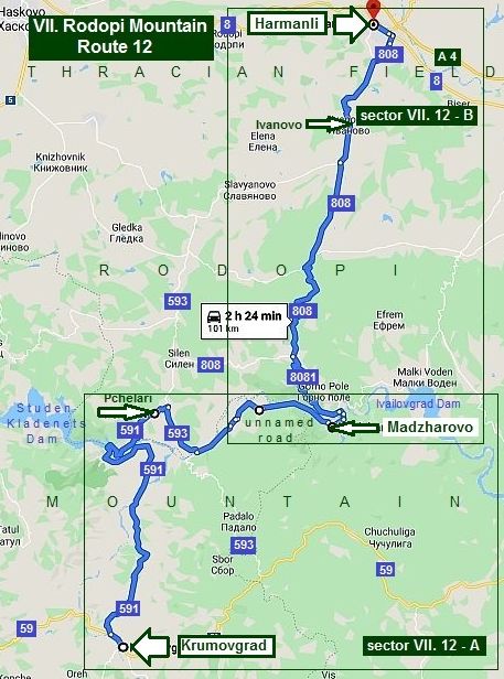
Route 12 From Harmanli to Krumovgrad
The last route for the East Rodopi Mountain I describe here is the one from Harmanli to Krumovgrad. Extreme exiting route, the nature here is absolutely saved, there is not any traffic, along the road there are a lot of small villages, no problem to find food in them.
Summer 2019 I pedaled this route from Krumovgrad to Harmanli, so I will describe the route in this direction.
|
||
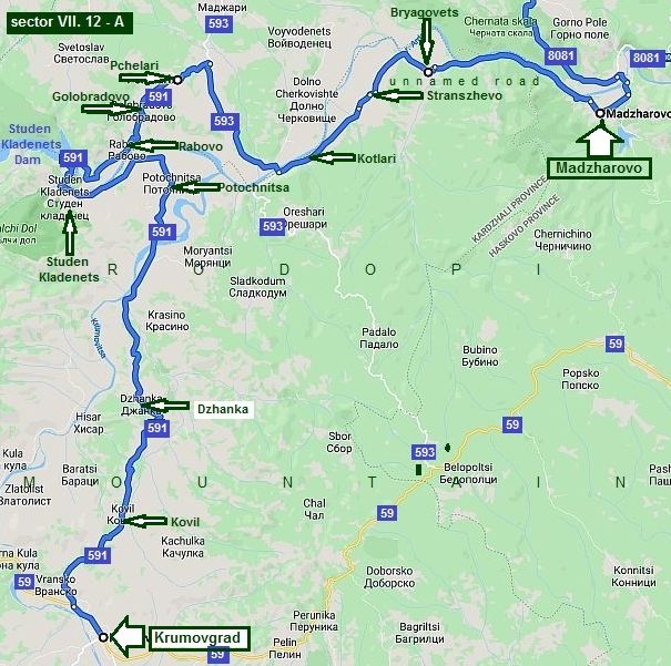
Sector VII. 12 - A
The more scenic part of the route 12 is the distance between Krumovgrad and Madzharovo. The route is: From Krumovgrad to Kovil to Dzhanka to Potochnitsa to Golobradovo to Pchelari to Kotlari to Strandzhevo to Bryagovets to Madzharovo. The road profile chart shows that riute is not hard to be pedaled in the both direction.
|
||
 |
||
|
According to Google Map in Krumovgrad are available two hotels (the first photo below is the hotel in the town center). http://www.guide-bulgaria.com/SC/kardjali/krumovgrad/krumovgrad |
||
 |
 |
 |
| Just after Krumovgrad there is a 3-4 km hill. | ||
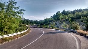 |
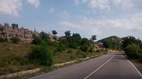 |
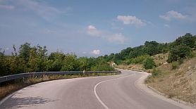 |
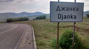 |
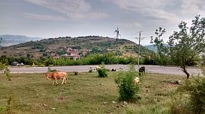 |
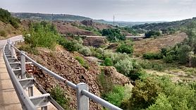 |
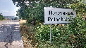 |
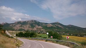 |
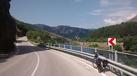 |
| Countryside after Potochnitsa toward Studen Kladenets Dam. | ||
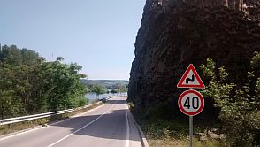 |
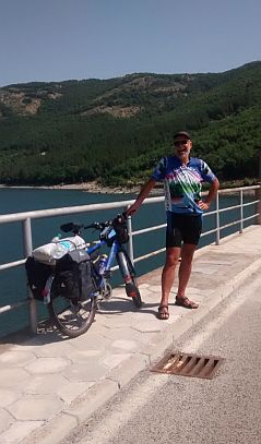 |
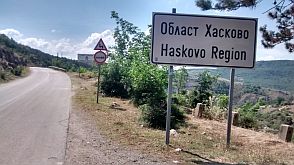 |
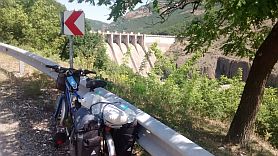 |
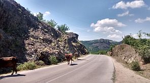 |
|
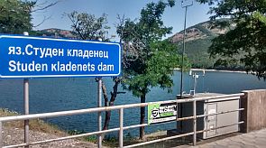 |
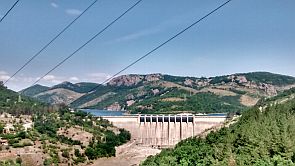 |
|
|
Three little villages are after the Studen Kladenets Dam wall (Rabovo, Golobradovo and Pchelari), I do not remember well if food was available there. Be careful, just after Pchelari to take the right road down to Arda River. |
||
 |
 |
 |
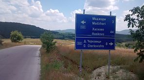 |
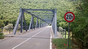 |
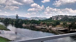 |
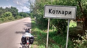 |
 |
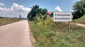 |
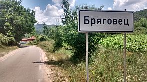 |
 |
 |
|
Leaving Bryagovets, you will pedal off-road along Arda River. Beautiful area. Unfortunately the area is too rocky, so there are no more than 2-3 places nice to set up a tent. What to say about Madzharovo ... I have never visited it before and I was a little disappointed. I did not like it, |
although that the nature around it is very nice, the river too. I even did not take photos from it. Very little information for it can be seen here: http://www.guide-bulgaria.com/SC/haskovo/madjarovo/madjarovo Google shows me that overnight accommodations in Madzharovo are possible. |
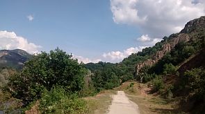 |
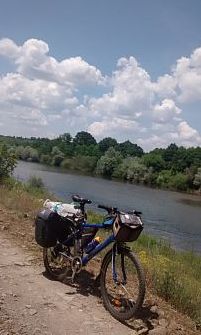 |
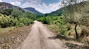 |
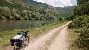 |
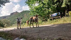 |
|
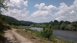 |
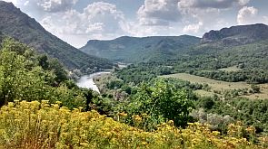 |
|
|
|
||

Sector VII. 12 A
It is a no man area. Bring water and food with you, although in one of the villages - Gorni Glavanak or Dolni Glavanak, I do not remember well, there was a little food shop. Food is available in Ivanovo too. |
||
|
The next several photos are the area just next to Madzharovo. |
||
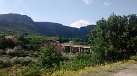 |
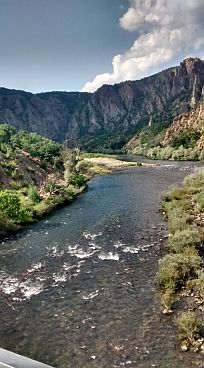 |
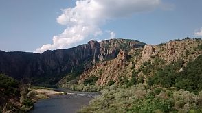 |
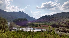 |
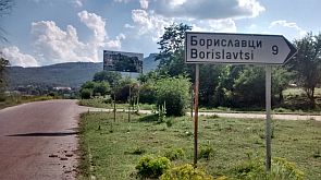 |
|
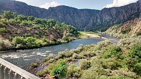 |
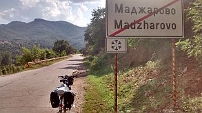 |
|
|
The first 25 - 30 km are in very nice mountain area. The hill after Madzharovo is approx 9 km, I climbs it in a hot afternoon, I remember it was not easy for me. All the area is perfect for camping. |
||
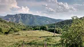 |
 |
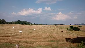 |
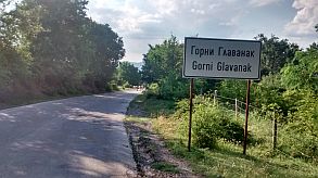 |
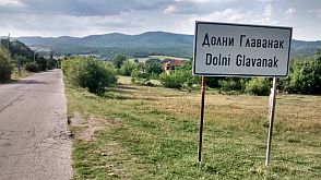 |
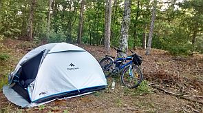 |
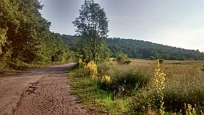 |
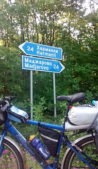 |
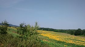 |
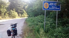 |
 |
|
 |
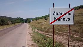 |
|
|
Harmanli is a small town, accommodations are available in it. Information for the town: |
||
 |
 |
 |
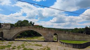 |
 |
 |

Two - three kilometers from Harmanli is located Complex Prikazkite, it can be translate as "Complex Fairytales" https://opoznai.bg/hotels/view/kompleks-prikazkite The place is very nice to visit and relax in it. A walk for an hour along a track starting from the hotel to a spring of water would be a very nice option. I and my doughtier Maya did not miss it in the end of May '25. |
||
 |
 |
 |
 |
 |
|
 |
 |
|
|
In the area you can see many flowering cacti which are an invasive species and cause habitat problems. From time to time there are initiatives to eradicate them |
||
 |
 |
 |
|
|
||
| back to content | ||