II. B   Routes in the South - West Region of the Country


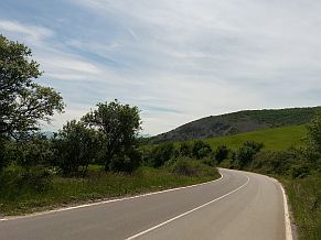
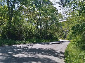
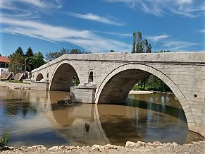
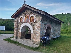
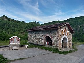
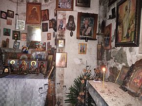
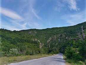
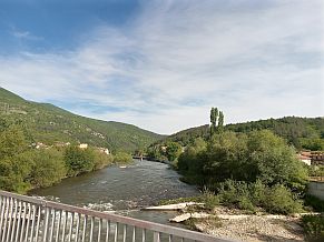
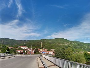
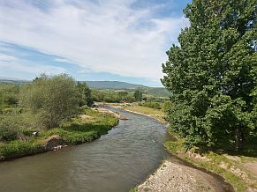
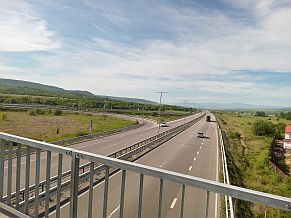
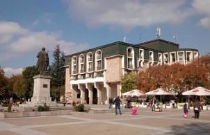
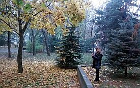
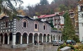
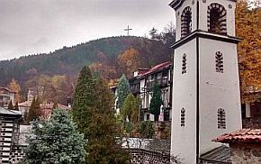
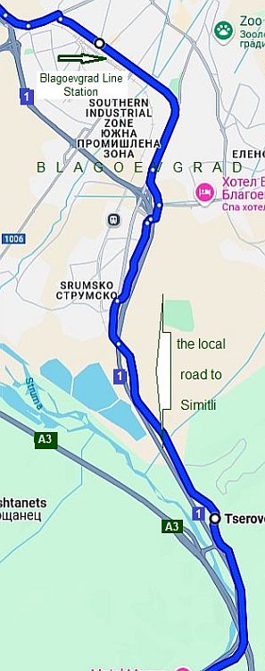
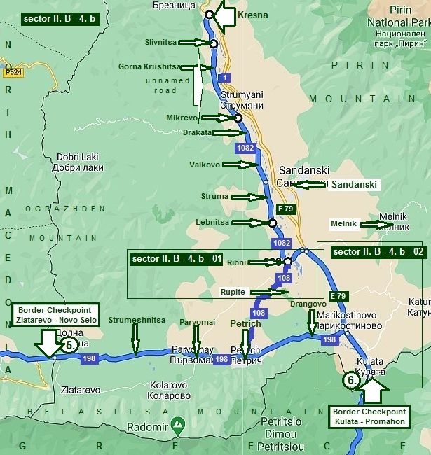
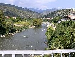
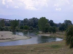
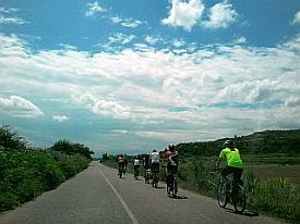
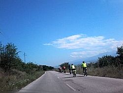
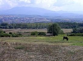
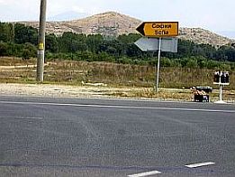
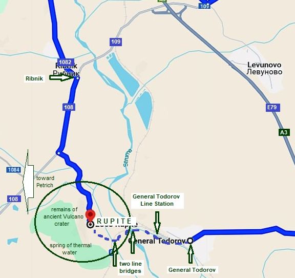
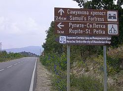
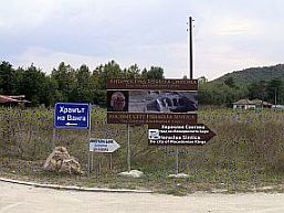
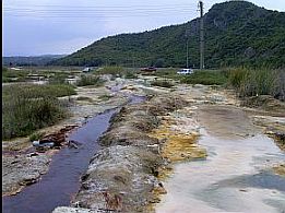
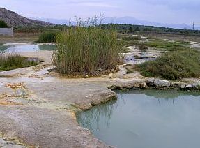
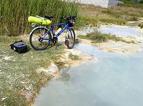
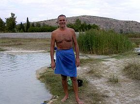
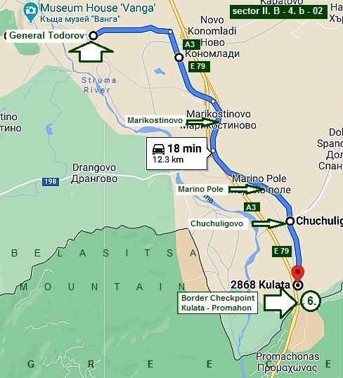
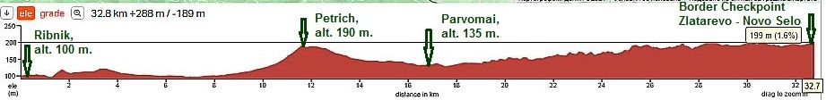
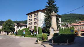
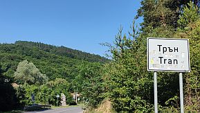
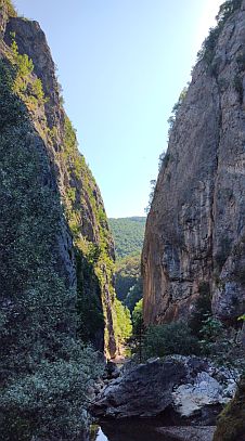
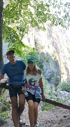
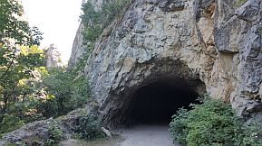
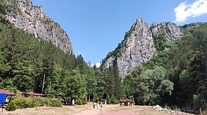
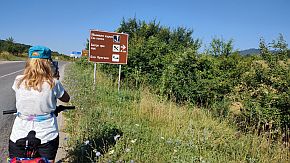
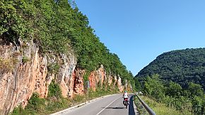
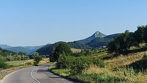
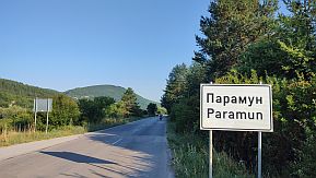
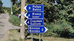
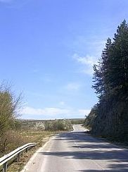
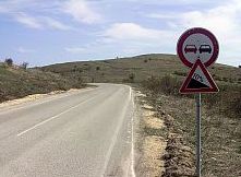
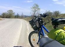
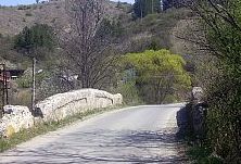
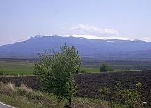
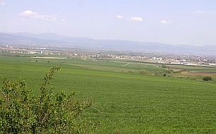
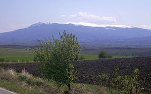
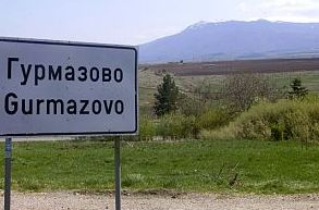
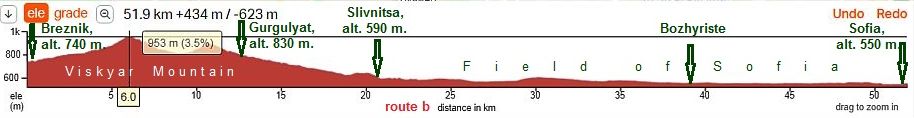
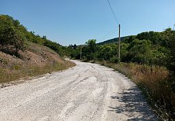
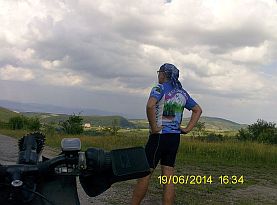
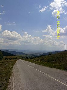
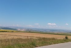
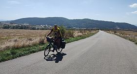
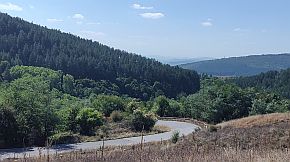
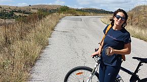
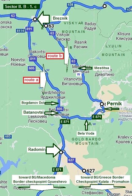
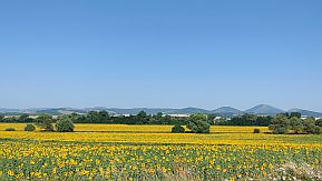
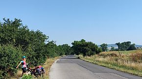
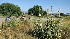
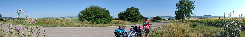
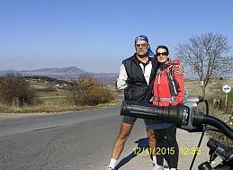
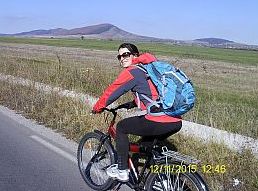
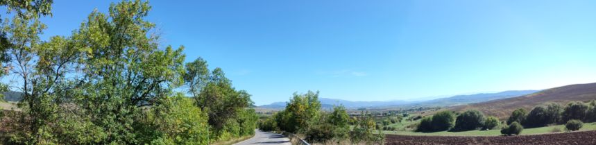
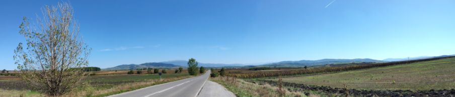
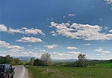
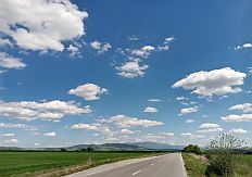
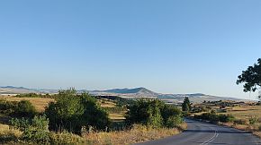
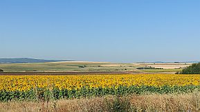
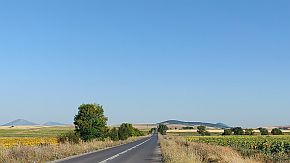
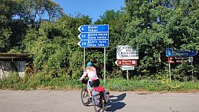
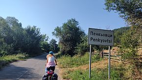
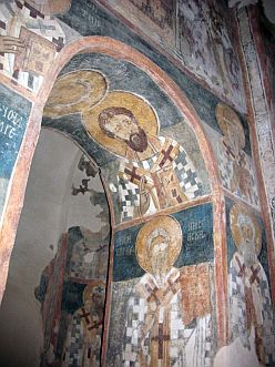
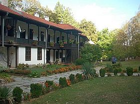
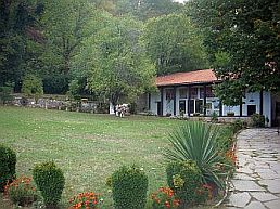
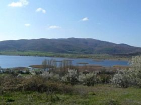
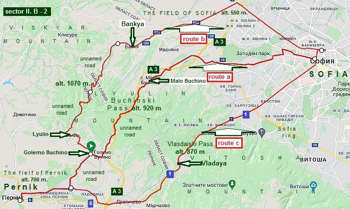
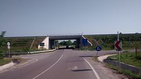
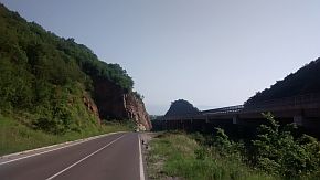
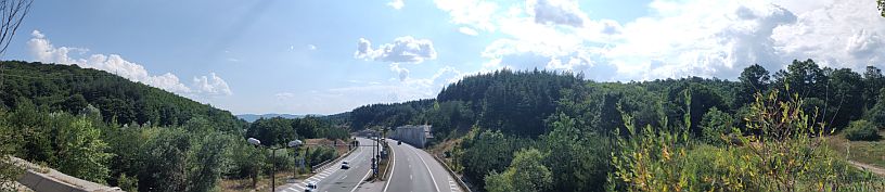
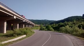
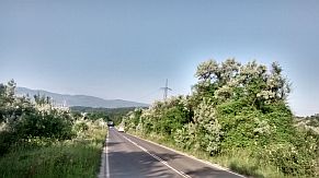
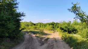
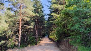
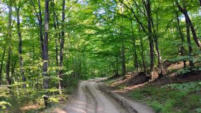
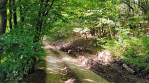
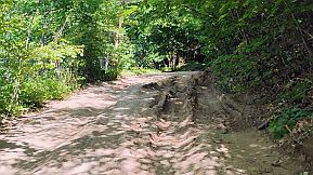
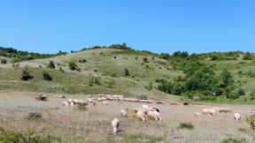
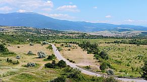
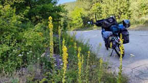
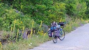
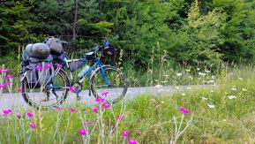
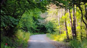
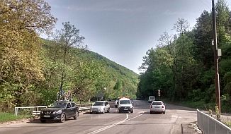
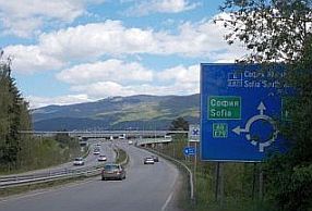
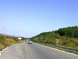
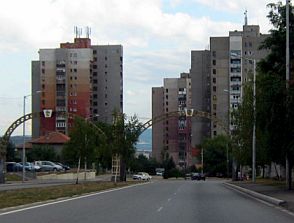
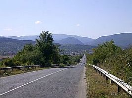
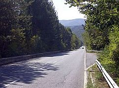
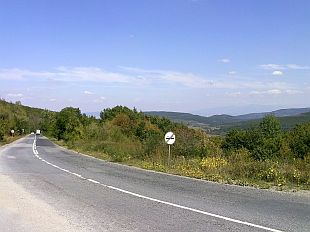
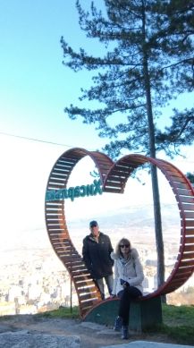
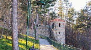
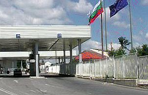
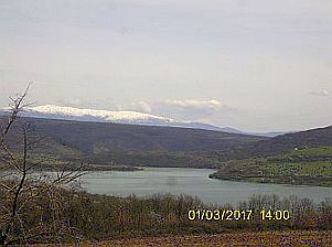
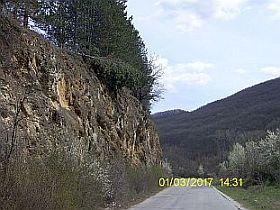
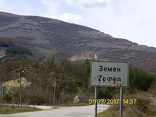
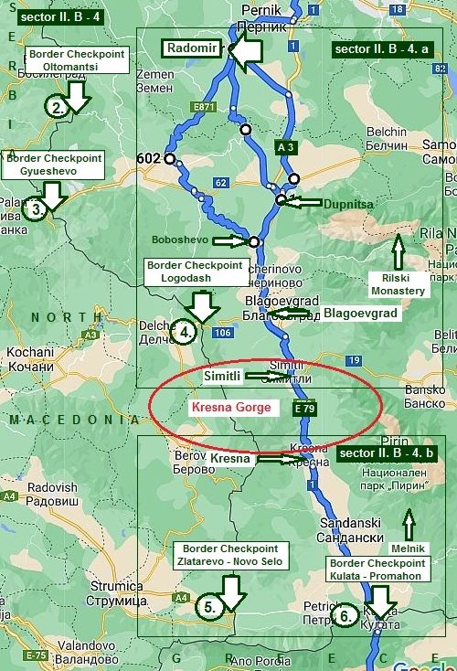
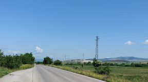
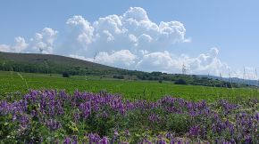
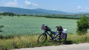
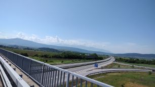
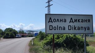
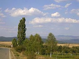
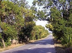
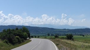
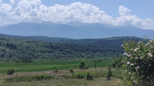
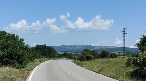
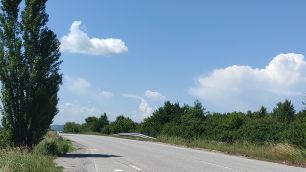
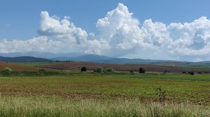
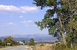
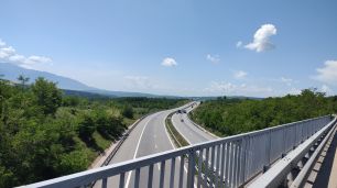
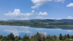
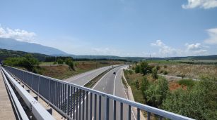
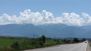
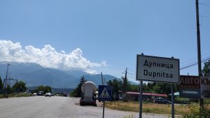
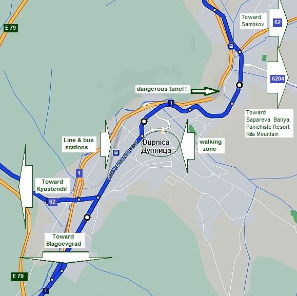
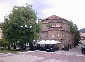
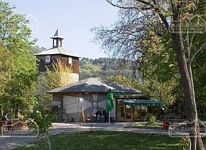
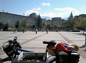
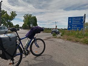
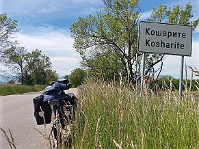
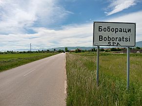
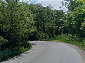
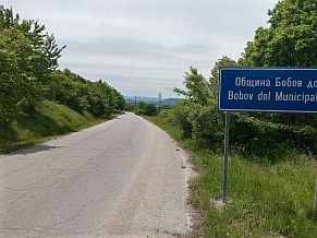
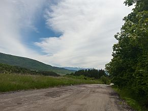
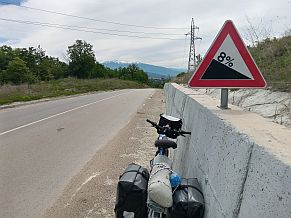
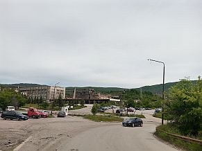
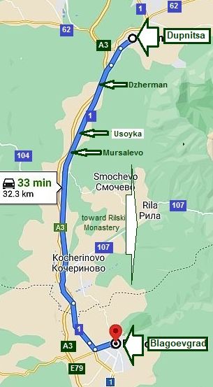
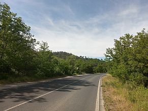
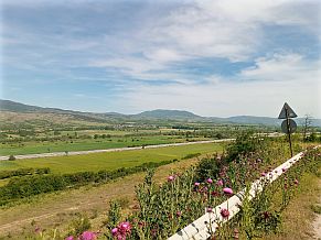
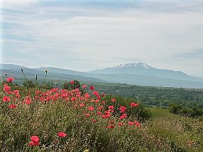
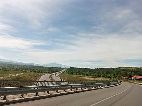
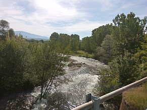
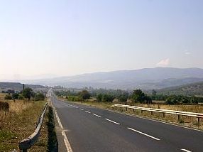
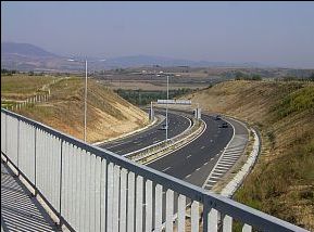
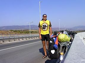
      In this chapter I will give information for the routes to reach Sofia, entering from the Border Checkpoint Strezimirovtsi (BG / Serbian Border), as well as how to leave Bulgaria toward Macedonia: border checkpoint Gyueshevo & border checkpoint Zlatarevo - Novo Selo and toward Greece: border checkpoint Kulata - Promahon).

      The sightseeing in this region worth to visit and see are Rilski Monastery and the region near Melnik - shown on the map in left.

      Drawing the routes, my intention is to avoid roads with intensive traffic as well.


Content


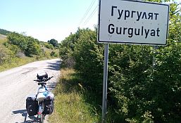
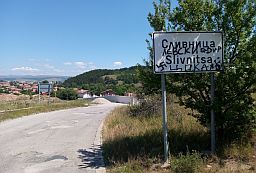
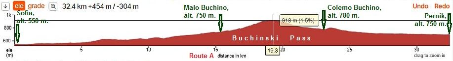
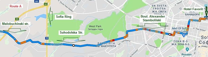
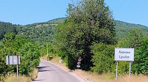
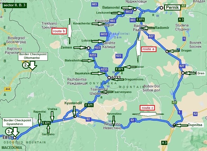
ROUTE A

From / to Serbia:

1. From border checkpoint Strezimitovtsi to Breznik to Sofia (sector II. B - 1);

2. From Sofia to Pernik to Radomir (sector II. B - 2);

3. Border checkpoint Oltomantsi.


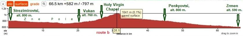
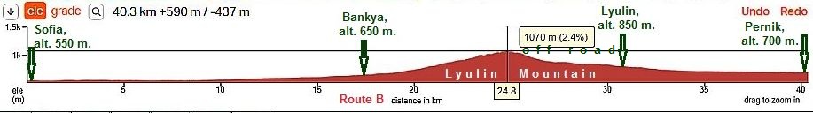
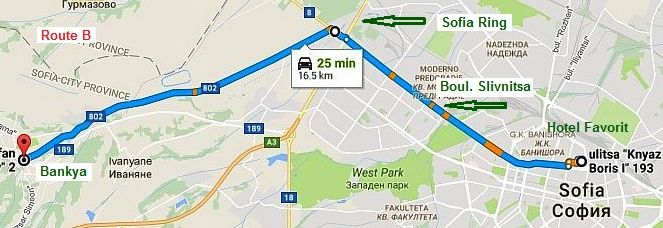
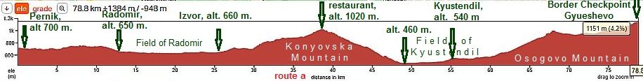
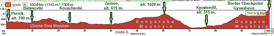
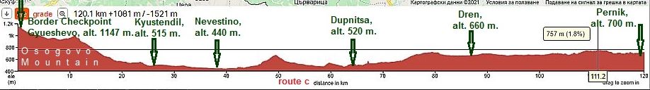
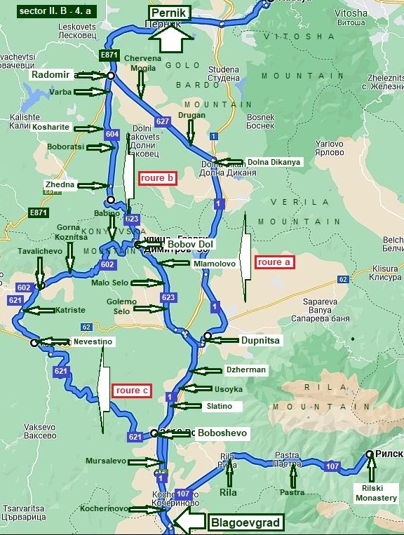
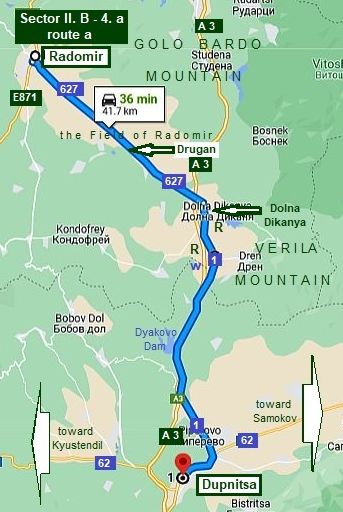
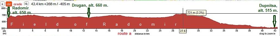
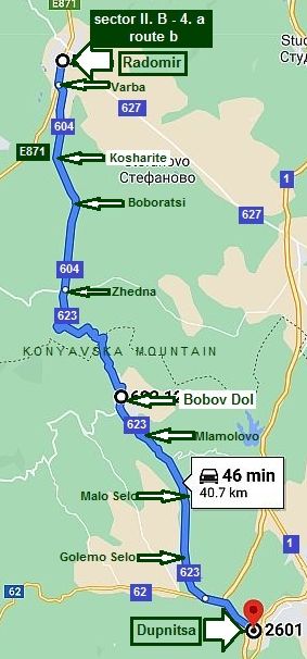
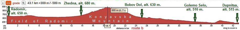
ROUTE B

From / to North Macedonia:

4. From Radomir to border checkpoint Gyueshevo (sector II. B - 3);


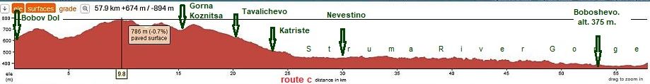
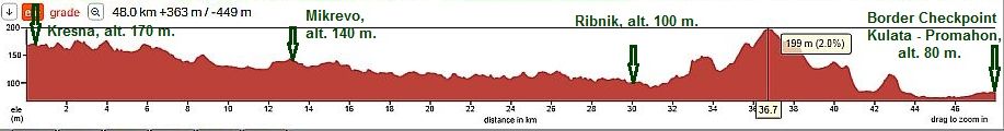
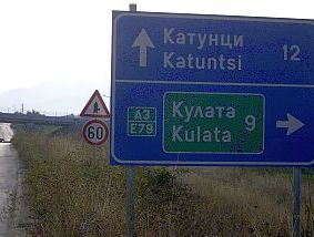
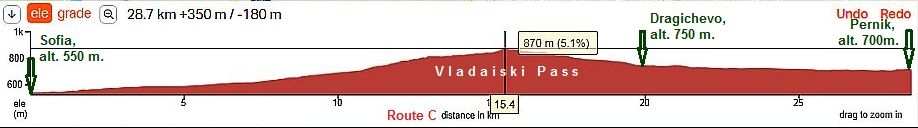
ROUTE C

From / to Greece (and North Macedonia):

5. From Radomir to border checkpoint Kulata - Promahon (Greece)  and border checkpoint Zlatarevo - Novo Selo (North Macedonia)  

(sector II. B - 4).        


ROUTE A: From / to Serbia

Sector II. B - 1

1. From border checkpoint Strezimirovtsi to Sofia

      This is a locally used road between Bulgaria and Serbia,  little traffic, the area is very scenic, and it is well signed. The route I suggest next is the safest one:

      From border check point Strezimirovtsi (road 63) to Tran to Breznik (road 638) to Bozhuriste to Sofia.


      A really nice bicycle route, entering or leaving Bulgaria via border checkpoint Strezimirovtsi. But, there are other options as well.  The entire area (except the one just near Sofia) is perfect for camping in the wilderness.

      For more detailed description I will split this area into 3 sectors.

Sector II. B - 1. a  (road 63)

      From border checkpoint Strezimirovtsi (road 63) to Glavanovtsi to Tran to Filipovtsi to Paramun to Mraketintsi to Paramun to Breznik.


      This is an easy and pleasant area to bicycle. I did not pedaled this area the last 20 years, so if my memory serves, food shop was available in Filipovtsi.

      The is beautiful area to explore by bicycle, with hardly any traffic along the road. Overnight accommodations are possible in Tran.


The next links are information about Tran and hotel in Tran:

http://bnr.bg/en/post/100122427/the-bulgarian-town-of-tran     

http://www.tranhotels.com/en/home

The three photos in left are taken between Breznik and Tran.


An scenic gorge can be seen pedaling 2 - 3 kilometers from Tran down along Erma River.


https://bulgariatravel.org/en/the-

gorge-of-erma-river/


      A hotel is available there as well.


Sector II. B - 1. b

      In this sector I will show two routes from Breznik to Sofia.

      Route a  (I do recommend it!)

      From Breznik to (road 63) Babitsa (road 638) to Delyan to Zlatusha to Rosoman to Pozharevo to Gurmazovo to Bozhuriste (road 8) to Sofia.


      Two kilometers east of Breznik is the road 638 to Sofia, it is signed very well. At the crossroad there is water and a little restaurant. Look for a sign with the words "Bozhuriste" to the left.

     The longest climbing is just after Breznik (alt. 750 m.), from Breznik to Babitsa and 3 more km to the top of the pass in Viskyar Mountin (alt. 942 m). Except for 2 - 3 km east from Zlatusha, the road toward Bozhuriste and Sofia is an easy downhill with a bicycle. Bring a spray against dogs in this area.


      I am not sure if overnight accommodation is possible in Breznik. Some information about Breznik Municipality and Breznik can be seen here:

http://www.guide-bulgaria.com/SW/pernik/breznik

The next several photos illustrate this beautiful area

Once reaching the mountain divide, a beautiful view is revealed toward Vitosha Mountain - to east and Balkan and the Field of Sofia to North. The photos here were taken in the early April '17.

Route b:

      From Breznik (road 811) to Arzan to Gurgulyat to Galabovtsi to Slivnitsa (road 8) to Bozhuriste to Sofia.

    A reverse route, traveling from Sofia to Strezimirovtsi, is also nice, although the climb is much longer.


      I would recommend it when leaving Sofia and Bulgaria and heading toward Serbia.

      This opportunity is again in a very nice area, although the traffic from Slivnitsa to Sofia is more intensive.

The next several photos are taken in the area between Breznik and Slivnitsa.

Gurgulyat is connected with the our new history:

http://visit.guide-bulgaria.com/a/1008/pantheon_of_the_perished_in_the_battle_for_gurgulyat.htm

From Breznik to Slivnitsa, 26th Sept., '23.


Sector II. B - 1. c


     Bicyclists intending to bicycle toward Greece missing Sofia (Border Checkpoint Kulata) I will suggest two routes:


Route a:

      From Breznik (road 811) to Bogdanov Dol (road 605) to Batanovtsi to Radomir to (road 627) . . . to border checkpoint Kulata.


Route b:

      From Breznik (road 63) to Mestitsa to Pernik (road 871) to Radomir (road 627) to border checkpoint Kulata.


      The route b  is for bicyclists needing overnight accommodation - in Pernik, finding accommodations will not be a problem. The traffic on E871 is relatively intensive, but the road has 2 strips and pedaling there is not dangerous.


      Both routes a & b  are a very nice 50 kilometre loop in my region taking three hours to complete.

Route a:

            From Breznik (road 811) to Bogdanov Dol (road 605) to Batanovtsi to Radomir to (road 627) . . . to border checkpoint Kulata.

        It is very nice, almost plane area with very little traffic to the road E871. DO NOT drink the water from the 2 water springs you will see along this route, it really is not nice.
     The next several photos are the area from Breznik to Batanovtsi.  I pedal regularly this area in the autumn,   winter and spring. I post more photos illustrating the countryside in the different seasons.

Route b:


      From Breznik (road 63) to Mestitsa to Pernik (road 871) to Radomir (road 627) to border checkpoint Kulata.

        As I have mentioned, route b is for bicyclists needing overnight accommodation - in Pernik it is not a problem. The traffic on E871 is relatively intensive, but the road has 2 strips and pedaling there is not dangerous.

The several next photos illustrate the area in different seasons.

From Breznik to Pernik, 26th Sept. '23.

Information for Pernik can be found here:

https://en.wikipedia.org/wiki/Pernik                       http://www.visitbulgaria.net/en/pernik/pernik.html

      Several words for my native town Pernik - it is known with the mask festival. Each year in the end of January thousands of masked people rampage in the 


center of the town for 2 - 3 days. Last several years the festival is international, so the town is just as a loony bin.

http://www.studyenglishtoday.net/kukeri-festival-pernik.html


Routes in the South - West Region of the Country


Sector II. B - 2

      2. From Sofia to Pernik to Radomir


     As it can be seen from the map below there are three possible routes between Pernik and Sofia:


      - Route A (Buchinski Pass):

       From Sofia to Malo Buchino to Golemo Buchino to Pernik.

This is the route I would choose. It is in very nice condition and it is parallel to the motor road A3;


      - Route B (Lyulin Mountain):

      From Sofia to Bankya to Lyulin to Pernik.

It is easy to be find out from Pernik to Sofia, there is an off-road segment;


      - Route C (Vladaiski Pass):

      From Sofia to Vladaya to Dragichevo to Pernik.

The traffic here is intensive, I use this route when I enter in Sofia.


      The scale on the map here is increased, so the routes I mention above can be seen much better.


(Look also Chapter X :   

How to enter/leave Sofia by bicycle


      On next charts you can see and compare the road profile of the 3 routes:


Route a:

      This road:

      From Sofia to Malo Buchino to Golemo Buchino to Pernik.

  (in very nice condition) is parallel to the motorway A3, unfortunately it is unnamed. It is very convenient to pedal from Sofia to Pernik (and back) and I recommend it, no any traffic along it. 

      It is not easy to find out this road in Sofia. No any signs, I think here GPS device would work. Ask and look for Malo Buchino.

       The next map is more detailed one: Pedal along Boul. Alexander Stamboliiski - it is easy to find it, after go only straight on Suhodolska Str.

Be careful to avoid the motor road A3!


Route b:

      Beginning from Sofia it is easy to find the road toward Bankya, but after - it is not signed. The off road is steep

  up to the mountain divide and it is muddy in the raining seasons as well. From Pernik to Sofia it is easy to find out this road. Avoid this route when it is raining.

Next map shows the easiest route from Sofia city to Bankya.

      I am not sure if it is easy to find the road after Bankya toward Pernik, again the road is unnamed. GPS device surely will help here. Next several photos illustrate this   area. Again I will say that from Bankya to the divide you will climb an off road. From Pernik it is not a problem to find out this road.

And several photos from Pernik toward Golemo Buchino - a road segment the same for both routes a & b. From the Centre of Pernik City there is a velo lane.


Route c:

      The traffic along this is very intensive, especially mornings toward Sofia and late afternoons in the back direction, as well as Sunday afternoons, it would be

  better to be avoided, especially when leave Sofia. Too much exhaustive gasses up to Vladaiski Pass. In the opposite direction the situation is a little better.


      An advantage here is that there is very convenient velo lane in Sofia town between point A (so called “Russian" Monument  the first photo below) and point B (behind Sofia Ring).

Once leaving Sofia an ascending begins toward Vladaya. Maybe this is the most unpleasant road segment here.

      In the end I would say here, that to leave Sofia by a train to Vladaya would be a nice decision.

Look Chapter IX. Roads and trains in Bulgaria. Healthcare in Bulgaria


      We will continue toward Radomir now. Further, the traffic on E871 from Pernik to Radomir is relatively intensive, but the road has 2 strips and pedalling there is not dangerous.

The next little town is Radomir information for it:  Information about Radomir:       

https://en.wikipedia.org/wiki/Radomir_(town) 

In the center of the town there is a hotel.


3. Border Checkpoint Oltomantsi    

This border checkpoint is of a local importance. Apparently, not many people use it, so I believe, it is very nice route to enter or leave BG.


Routes in the South - West Region of the Country


       ROUTE B: From / to North Macedonia


Sector II. B - 3


     Well, here you will be in a mountain area, so pedalling will be a challenge.

      Two are available border checkpoint on the border between Bulgaria and Macedonia pointed on the map in left as:


      2. Border Checkpoint Oltomantsi;

      3. Border Checkpoint Gyueshevo.


       More detail information I will give for routes from Sofia to Border Checkpoint Gyueshevo.


Sector II. B. 3

4.  From Sofia to Border Checkpoint Gyueshevo

      There are three opportunities to reach Gyueshevo Border Checkpoint from Pernik:


Route a

      From Pernik (E781) to Radomir to Izvor to Dragomirovo to Tsarvenyano to Kyustendil to Vratsa to Garlyano to Rapentsi to Border Checkpoint Gyueshevo .

      The route is along the international road E871 from BG to Macedonia. I would not say the traffic here is very intensive, but yes, it is available. The road is in nice conditions, I would not say it is a dangerous road.


Route b

      From Pernik to Batanovtsi (road 6032) to Leskovets (road 603) to Kovachevtsi (road 6033) to Lobosh (road 


623) to Zemen (road 6233) to Blateshnitsa to Baykalsko to

Tsarvenyano (E781) to Kyustendil to Border Checkpoint Gyueshevo.

      This opportunity gives a possibility to avoid the traffic along E871. The route is a little longer than the previous one, but it is in a very scenic area, my suggestion is if you have more time to pedal it.


Route c

      As Konyavska Mountain is very steep from its south-west side, I recommend this route for bicyclists hating long and steep hills in the back direction: The route is:

      From Border Checkpoint Gyueshevo (E 781) to Kyustendil (road 62) to Nevestino to Dupnitsa (road 1) to Dren  (road 627) to Radomir (E781) to Pernik.

Route a

      From Pernik (E781) to Radomir to Izvor to Dragomirovo to Tsarvenyano to Kyustendil to Vratsa to Garlyano to Rapentsi to Border Checkpoint Gyueshevo .

      The route is along the international road E871 from BG to Macedonia. The traffic here is not so intensive, but yes, it is available. The road is in nice conditions,


I would not say it is a dangerous road. In the previous item I have mention several words for Pernik, Radomir and the road from Pernik to Radomir.

      leaving Radomir the road enter in the field of Radomir, toward Izvor the pedalling is easy. Next to Izvor there is a restaurant, several kilometers further 2 restaurants more and a tap with drinkable water. 

      The climb of Konyovska Mountain from this side is not steep and long. On the top of the pass there is a restaurant, a little further again a nice tap of fresh water is available. An interesting street art was available in Tsarvenyano - a wood bicyclist, I think it was a real one, woodened while climbing this extremely steep and long south west side of Konyvska Mountain (I think it is


the hardest pass in BG - the slope is 12 - 13 %).

      If you decide to climb the mountain, my suggestion is to begin climbing the pass no later than 8 am in the hot summer days. . . . . . but in our direction it follows long and steep down the mountain bicycling. It is the road segment, where I got the highest speed by my bicycle - 62, 5 km/hour.

      Kyustendil is placed in a deep hollow, surround by mountains. The view from both Osogovo Mountain and Konyovska Mountain is great. There are a lot of gardens of cherry and apple trees around the town.


     The town is known as a spa center as well because of the thermal springs in it. There are several nice places for overnight accommodation in it. Information for Kyustendil

http://www.visitbulgaria.net/en/kyustendil/kyustendil.html

http://www.guide-bulgaria.com/sw/kyustendil/kyustendil/kyustendil

An art gallery of a famous our artist is in Kyustendil as well.

https://www.facebook.com/ArtGalleryVladimirDimitrovTheMaster/?locale=bg_BG

      Border Checkpoint Gyueshevo is located high in Osogovo Mountain, although  from Kyustendil toward it the climbing is long  and permanent, it is not hard ride. Unfortunately I do not remember if in the small villages along the road there were food shops and water. Gyueshevo is a bigger village just before the border, but is not on E871, to visit it, you have to leave E 871.


      In the back direction the route is most the perfect - the view from Gyueshevo down toward Kyustendil is great.


      I pedaled this route, unfortunately I have not photos from this area.

      As I have mentioned above, the climbing of Konyvska Mountain from Kyustendil toward Radomir is not easy. It is maybe the only pass in BG, with a permanent and heavy slope of 12 - 13% for all the distance of


approx 9 kilometres. My suggestion is to begin climbing the pass no later than 8 am in the hot summer days.

      But if you do not love to pedal long and steep mountains, look further for the route c.


Route b    

      To bicyclists who want to avoid road E 871 is my next suggestion and add 20 more kilometres I suggest the next route:

      From Pernik to Batanovtsi (road 6132) to Leskovets

  (road 603) to Kovachevtsi (road 6033) to Lobosh (road 623) to Zemen (road 6233) to Blateshnitsa to Baykalsko to Tsarvenyano (E781) to Kyustendil to Border Checkpoint Gyueshevo.

      In the previous item I have mention several words for Pernik and the road from Pernik toward Batanovtsi, so I will not repeat it here.

       The distance from  Batanovtsi to Zemen is very

  pleasant. It crosses Cherna Gora Mountain (Monte Negro), not a high mountain grade at all. After that the road follows along Pchelintsi Dam. There is minimal traffic on this route. Several photos illustrating this area:

       A little information for Zemen:

http://www.guide-bulgaria.com/SW/pernik/zemen/zemen

      I know there is a hotel next to it, I am not sure if it is at work.  You can visit Zemenski Monastery built in X - XI century - one of the oldest in Bulgaria: I have heard that


people from France are interested from this monastery, I do not know why. There are some connections with the Templar and Crusades.

http://visit.guide-bulgaria.com/a/521/zemen_

monastery_of_st_joan_bogoslov.htm

https://bulgariatravel.org/en/the-zemen-monastery/

     From Zåmen starts climbing of Konyavska mountain up to road E 871.


      Next to Baykalsko - almost on the top of the Pass you can see "Choklyovsko Blato"- a unique swamp known with interesting botanic specimens. The zone is protected.

https://www.youtube.com/watch?v=gUITW9iIrOA

      This route gives a possibility to avoid the traffic along E871. The route is a little longer than the previous one, but it is in a very scenic area. If you have the time, I suggest strongly considering this route.


Route c   

      Konyavska Mountain is very steep pedaling from its southwest direction. It is maybe the only pass in BG, where the slope is permanent and heavy - 12 - 13% for all the distance of approx 9 km.


Bicyclists entering in BG from Macedonia who hates hard climbing, I would suggest the next route: 

      From Border Checkpoint Gyueshevo (E 781) to Kyustendil (road 62) to Nevestino to Dupnitsa (road 1) to Dren  (road 627 )to Radomir (E781) to Pernik.

       I have never pedalled the distance from Kyustendil to Dupnitsa, but I know the road is nice and not dangerous

  for pedalling. In the next item there will be information for Dupnitsa and the road from Pernik toward this city.

Routes in the South - West Region of the Country


ROUTE C:


From / to Greece (Border Checkpoint Kulata - Promahon) and North Macedonia (Border Checkpoint Zlatarevo - Novo Selo)


      Here I will give the routes:


      From  Radomir to Dupnitsa to Blagoevgrad to the Border Checkpoints Kulata - Promahon (Greece) & Zlatarevo - Novo Selo (North Macedonia),


as well as some available opportunities.


5. From Radomir to Border Checkpoint Kulata - Promahon


Sector II. B - 4


     Three are available border checkpoint on the border between Bulgaria & Macedonia and BG &Greece pointed on the map in left as:


- North Macedonia:

      4. Border Checkpoint Logodash:

      My suggestion is to avoid Border Checkpoint Logodash; it is used from trucks, the traffic is intensive.

      5. Border Checkpoint Zlatarevo - Novo Selo: 

      The route toward Sofia is overlapped with the one from Sofia toward Border Checkpoint Kulata - Promahon.


- Greece:

       6. Border Checkpoint Kulata - Promahon.


     The road segment from Blagoevgrad to Simitli to Kresna is a spectacular gorge, but it is one of the most dangerous road segments in Bulgaria, Almost each second day here there is a heavy accident. There is one very dangerous tunnel in the gorge – no any visibility in it, the road in it is narrow. DO NOT BICYCLE IN IT !!!

       If you explore this area, I would suggest you to take on the train from Blagoevgrad (or Simitli) to Kresna. There are at least 4 trains a day in each directions, no any problem to load your baggage&bike on the train!:

https://www.bdz.bg/en/


Sector II. B - 4. a


      Avoid  motor road A3 and E871 at all cost!


       On the left map I have shown 3 possible routes between Radomir and Blagoevgrad (Simitli). The shortest and easiest route is route a (I recommend it in the reverse direction). The most scenic is route c.


Route a

      From Radomir (road 627) to Chervena Mogila to Drugan to Dolna Dikanya to Dupnitsa to Blagoevgrad.


Route b

      From  Radomir (road 604) to Varba to Kosharite to Boboratsi to Zhedna (road 623) to Bobovdol to Mlamolovo to Malo Selo to Golemo Selo to Dzherman to Blagoevgrad.


Route c

      From  Radomir (road 604) to Varba to Kosharite to Boboratsi to Zhedna (road 623) to Bobovdol to (road 602) Babino to Gorna Koznitsa to (road 621) Tavalichevo to Katriste to Nevestino Boboshevo to Blagoevgrad.


Sector II. B - 4. a

 Route a


      From Radomir (road 627) to Drugan to Dren (road 1) to Dupnitsa


      As can be seen from the road profile chart below, the slopes are quite gentle.  It is the easiest way to pedal this section. The longest hill in the reverse direction is the one just after Dupnitsa, toward Sofia. It is almost 10 kilometers but is not hard to pedal.


      Restaurants are available at the crossroads toward Dolna Dikanya and Dren.


      Approaching Dypnitsa, there is a great view of Rila Mountain is just in front of you. The area is especially impressive in the Spring through the end of May, when the fields and trees are in flowers and Rila Mountain is still covered by snow.


Leaving Radomir, the road is crossing the Field of Radomir. Photos are taken in the beginning of the sunny June '22.

Food shops are available in Drugan and Dolna Dikanya.
Next photos illustrate the same area and my camp place there in the middle of September '16.
A restaurant and water are available next to Dren. After 25th of May you can find a lot of cherry trees near the road.
      At the highest point of the road, you will see Rila Mountain in front of you. The view is spectacular May, when the mountain us still covered by snow.  

      On your left there is a nice view of Dyakovo Dam. Here you will cross over the motor road A3 several times.


      When you come to Dupnitsa it is important to leave road 1 which surround the town.


      The crossroad for leaving road 1 is a little complicated (the last photo above), but is signed well. As I have pointed on the left map, there is a dangerous tunnel, it would be better to avoid it.


      Entering in the town,  you can enjoy of a coffee and find several restaurants.

      If you are pedalling in the reverse direction, follow signs to the town center.


      Dupnitsa is an initial point to research Rila Mountain. Information about Rila Mountain can be seen in the Chapter VII. Nice roads in mountains:

RILA Mountains


Below are several photos from Dupnitsa.

https://en.wikipedia.org/wiki/Dupnitsa       


Sector II. B - 4. a

 Route b

      This is one very nice route. The entire area is spectacular, there is hardly any traffic. Soon after Breznik you have to leave road E871:


      From Radomir to Varba to (road 604) to Kosharite to Boboratsi to Zhedna (road 623) to Bobov dol to Mlamolovo to Malo Selo to Golemo Selo (road 62) to Dupnitsa.


      I do not remember if the villages along the road food was available. But, in Bobov Dol, food may be available.


      The road profile segment shows that climb up  Konyavska Mountain is not difficult at all and not  steep.


      I think in the reverse direction the route a is better.


 The next several photos are the area from Radomir to Bobov Dol. I do not remember if in the villages along that road there were food shops, but in Bobov Dol there is food.

      Several photos illustrating the countryside from Bobov Dol toward Dupnitsa are taken from a four day trip I and my daughter did in this area in 2007.


      Rearranging this Chapter in the 2022, I am sad seeing how fast the time is passing . . .

      Bobov Dol is a little city knowing with coal mining.

http://www.guide-bulgaria.com/SW/kyustendil

/bobov_dol/bobov_dol

      Near Blagoevgrad both routes a & b meet after Dupnitsa:

      From Dupnitea to Dzherman to Usoyka to Mursalevo to Blagoevgrad.


      It is road 1, which is parallel to the main road A3 (E 79).

      I would not say it is a dangerous road. On weekends, there can be heavy traffic with tourists visits to Rilski Monastery. Along the road there are restaurants, food here is not a problem.

      The road is pleasant to be pedaled in both directions.


Sector II. B - 4. a

 Route c


       From Radomir (E871) to Izvor to Tsarvenyano to Konyavo (road 602) to Gorna Grastitsa (road 621) to Katriste to Nevestino (road 104) to Chetirtsi to Pastuh to Boboshevo.


      As an alternative to routes a & b, I can recommend route c.

Yes, it is longer than the other 2 routes in this direction.  When I am touring in this direction, I always prefer to take this road: amazing countryside and very little traffic.


      Here I will give information for a part of this route: between Bobov Dol and Boboshevo.


      Food can be found in Nevestino. I do not remember if food shops were available in the other villages along the road.

      Leaving Bobov Dol,  the road towards Tavalichevo follows the south end of Konyavsta Mountain. There are hills, but, not dificult for pedalling at all. The next pictures


are taken in the end of May, my favorite season: the green fields and Rila Mountain will still covered by snow.

      If I remember correctly the road in Tavalichevo toward Katrishe is not signed.

      Nevestino is known for its thermal water and an old bridge built around the XVI or XVII century. Unfortunately, there is not a thermal water swimming area.


      Leaving Nevestino, the road follows along a wonderful 25 km long Struma River Gorge. Road is in very nice condition with very little traffic.


Further you will see a little ancient chapel with access to water next to it. You can light a candle in it and pray to local Gods to appoint an Angel to fly over you and assists and guard you to Bulgaria/Greece border.

Toward Boboshevo. There are not many places along the gorge for a wild camping.

Boboshevo is a little city, I am not sure if overnight accommodation is available in it.

http://www.guide-bulgaria.com/SW/kyustendil/boboshevo/boboshevo

Leaving Boboshevo to road N1, you will cross Rilska River. There is a very nice area to camp near it. Crossing the motor road, you will find road N1.


Before discussing Blagoevgrad, I'd like to mention a place worth to visiting here is Rlski Monastery. Information about the monastery can be found in Chapter VII.  Nice routes in mountains: RILA Mountains, Point 4. Rilski Monastery.


Blagoevgrad is one of the the regional centres of the southwest corner of the country. Information about Blagoevgrad:

http://www.visitbulgaria.net/en/blagoevgrad/blagoevgrad.html                      https://en.wikipedia.org/wiki/Blagoevgrad

Several photos from Blagoevgrad.

Out of the town in direction toward Rila Mountain is the town garden.

      On the road segment between Blagoevgrad to Simitli to Cherniche to Kresna there is a spectacular gorge. But, it is one of the most dangerous road segments in Bulgaria. Almost daily, there is a heavy accident in this area. There is one very dangerous tunnel in the gorge with no visibility in it at all. The road in the tunnel is narrow.  DO NOT BICYCLE IN THE TUNNEL !!!

       If you explore this area, I would suggest you to take on the train for the segment from:

     - Blagoevgrad,

     - or Simitli,

     - or Cherniche to Kresna.

      There are at least 4 trains a day in each directions, with no problem taking your baggage and bike on the train:    https://www.bdz.bg/en/

      I ALWAYS TAKE THE TRAIN !!! The next photo is Blagoevgrad Line Station.


A road profile chart from Blagoevgrad to Simitli to Cherniche.

       I suggestion you to pedal the road from Blagoevgrad toward Simitli and Chernice, although it is a little hard to find this road going through Blagoevgrad.

      As can be seen from the map in below, there is a local road next to the road N 1, but in Blagoevgrad it would be a little hard to find it out. So your GPS device would be useful.

Simitli is little town, accommodation in it is possible. Some information about it:

http://www.guide-bulgaria.com/SW/blagoevgrad/simitli/simitli

      If you pedal South to North, this local road it easy to be find in Cherniche or Simitli, so in this direction you can take on the train in Kresna (the first photo in left shows a hotel in Kresna) and get off the train in Cherniche, Simitly or Blagoecgrad.


      Overnight accommodation in Kresna is available. Information about Kresna:

http://www.guide-bulgaria.com/SW/blagoevgrad/kresna/kresna

      Photos from Kresna, and its Line Station and my bike waiting for a train toward Cherniche.


Sector II. B - 4. a


      Here is the route from Kresna to Border Checkpoint Kulata (Greece):

      From Kresna to Gorna Krushitsa to Mikrevo to Drakata (roed 1082) to Valkovo to Struma to Lebnitsa to Ribmik (road 108) to (E 79) Border to Checkpoint Kulata,

      as well as the route from Kresna to Border Checkpoint Zlatarevo - Novo Selo (North Macedonia):

       From Kresna to Ribmik to (road 108) Petrich to (road 198) Parvomai to Strumeshnitsa to Border to Checkpoint Zlatarevo - Novo Selo.


      The road segment from Kresna to Ribnik is very pleasant for pedalling in both directions. In each small village there are food shops, there are a lot of water springs between villages. Pedaling down the Struma River, on your right is Ograzhden Mountain, on your left - Pirin Mountain. The view is very impressive.

      The road segment from Kresna to Cherniche is extremely dangerous one with a crazy traffic. Bicyclists pedaling in the reverse direction MUST take a train from Kresna to Cherniche (or to Simitli or Blagoevgrad). There are 4 trains a day in this direction.

      Here is very important to avoid E 79, the traffic along it is extremely intensive.

      When you get off the train at Kresna Line Station, you have to turn a little to find a bridge over Struma River: look for Gorna Krushitsa. I remember that pedaling back to Kresna from the Line Station, you have to follow signs for a hotel (the first photo below) - signs will lead you to the road you need. Just behind the hotel is the bridge over Struma River.

      The road profile chart shows pedalling along Struma river would be very pleasant in both directions.

Pedalling here down toward Ribnik you will see no more than 10 cars.

After Gorna Krushitsa (the first picture below) the road is in not nice conditions, but it is only 1/4 mile (there will be no mud there if it is raining), after it will be again asphalt.

Food and water supply here is not a problem. Reaching Ribnik, you have to turn left (the last pic below where is the sign to Sofia) and go on the Motor road E 79 to the BG/Greece Border Checkpoint Kulata.


Sector II. B - 4. a - 01


       The next opportunity is purposed for more the more adventurist explorers. It will give you the opportunity to visit Rupite as well as avoiding the motor road  E 79.

      Close to Ribnik is Rupite (signed well along the road, as shown in the photos below). Rupite is formed like a park. There is a church there. A part of her life there spent one well known and popular Bulgarian clairvoyant, in fact she built the church.


      A lot of interesting information about Rupite can be found out in the next cites:


https://en.wikipedia.org/wiki/Rupite

https://bulgariatravel.org/en/rupite/

      According to the geologist, this area is an ancient volcano crater. Here you will find a hot (75 deg of C) thermal spring. The springs form a lot of pools of water and mud. People, including myself, love to wallow in the pools hours at a time.

      You can choose a pool having a temperature you like. The further you are from the spring the cooler the water


in the spring. Be aware, there are leeches in cooler pools. I have seen several.

      According other specialists the place is special, it is an energy place.  After wallowing in the pool I camped next to this place. Really in the morning I felt recharged, I only am not sure if it was because of the special place, or because of my little bottle of whiskey I took before sleeping.

      But my idea is another. If you move a little further toward train line (just behind me next to the hill) you will

  see a line bridge. Cross the river below it - it is easy and go further along the off road next to the train line.

      After go up to the train line, there is the second bridge over Struma River. There is a track for walkers, use it to

  cross the river. After 1/4 mile along the railway, you will be in General Todorov.
 
 Sector II. B - 4. b - 02

      After General Todorov, you will see the sign which will direct you toward border checkpoint Kulata.

      On the map on left if you follow the route:

      From General Todorov to Marikostinovo to Marino Pole to Chocholigovo to Kulata, avoid  the motor road E79 as much as possible.

      I did not pedal this 9 kilometers to Kulata.


      In the end, Border Checkpoint Zlatarevo - Novo Selo can be used as a point to leave, or enter in Bulgaria (Sector II. B - 4. a):

       From Border Checkpoint Zlatarevo - Novo Selo  (road 198) to Strumeshnitsa to Parvomai to Petrich to ribnik to Kresna.

      Again, I have only pedaled the section from Ribnovo to Petrich. Some information for Petrich and of photos can be seen on the links to the right. 


http://www.guide-bulgaria.com/SW/blagoevgrad/petrich/petrich


http://www.visitbulgaria.net/en/petrich/petrich.html


Places to visit in this area:

      If you are touring in this region consider visiting these places:


      Sandanski (very nice spa center):  

Look in the Chapter: VII.  NICE ROUTES IN MOUTAINS: PIRIN Mountains, point 6. Sandanski.


      Melnik (amazing place! DO NOT MISS IT !!!):  

Look in the Chapter: VII.  NICE ROUTES IN MOUNTAINS: PIRIN Mountains, point 7. Melnik;


back to content