|
||
![]() |
|
![]() |
|
||
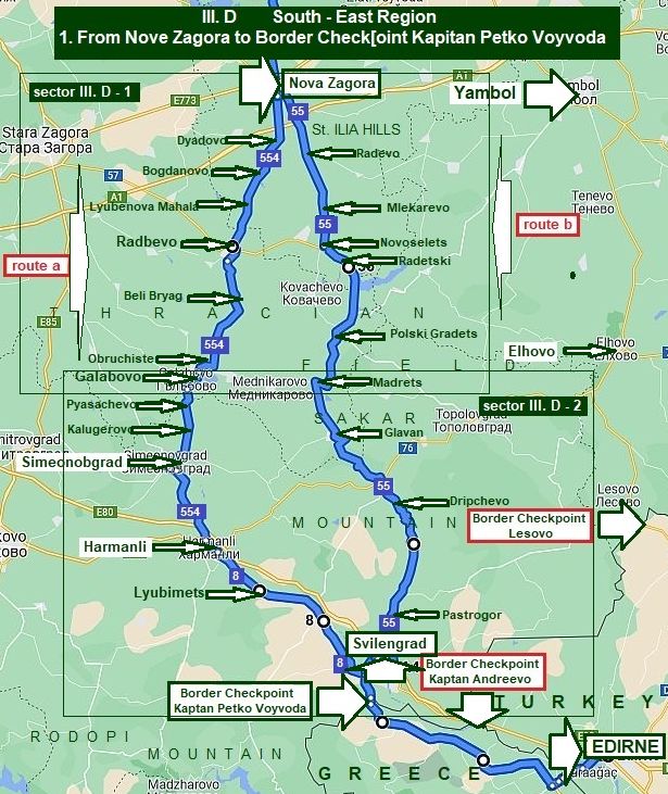
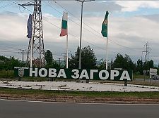
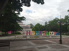
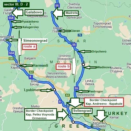
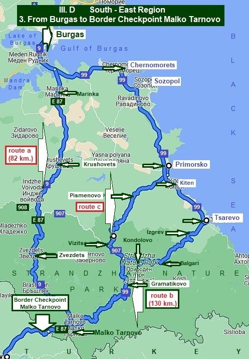
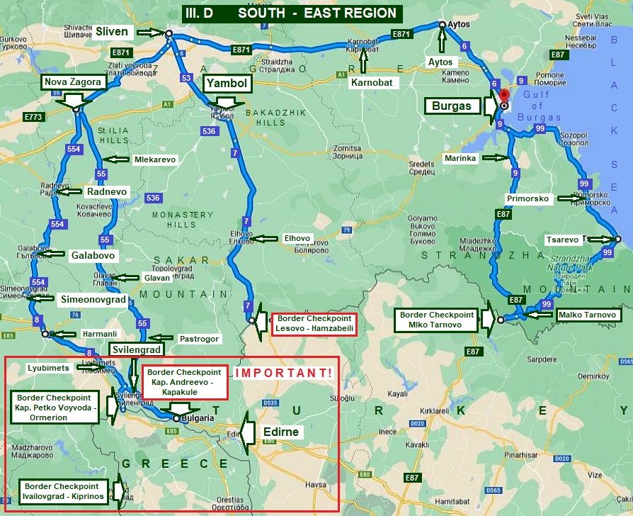
III. D South - East Region |
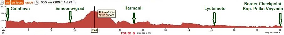
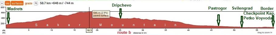
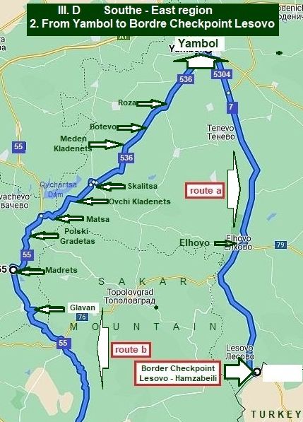
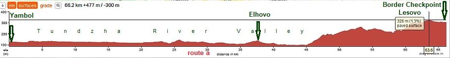
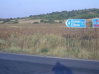
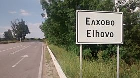
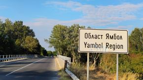
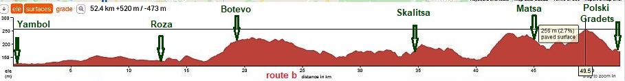
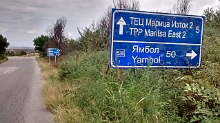
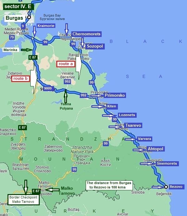
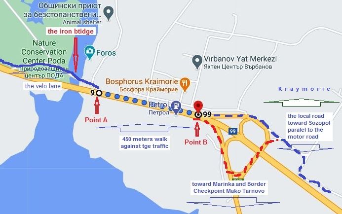
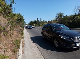
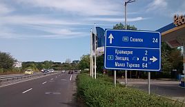
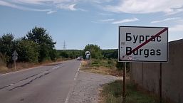
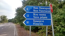
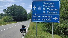
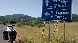
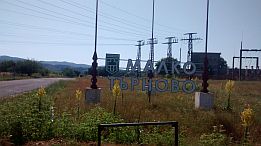
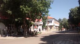
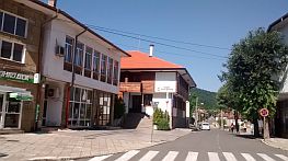
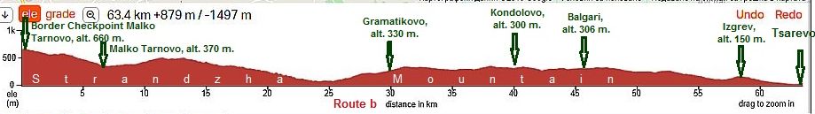
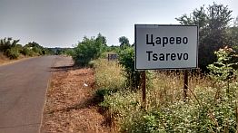
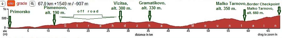
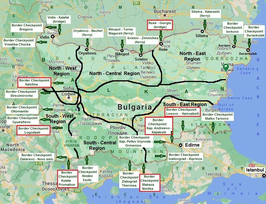
CONTENT 1. From Nova Zagora to Border Checkpoint Kapitan Andreevo, or Border Checkpoint Kapitan Petko Voivoda. 2. From Yambol to Border Checkpoint Lesovo (road N7). 3. From Burgas to Border Checkpoint Malko Tarnovo (road N 9) and from Burgas to Tsarevo to Malko Tarnovo (road N 99). |
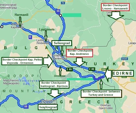
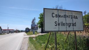
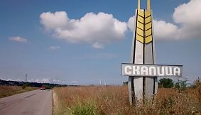
![]()
IMPORTANT !
The first of all I would pay attention on Borders Checkpoints in the South - East Region. Have in mind that the traffic on the Border Checkpoint I surround in red is very intensive, especially in Border Checkpoint Svilengrad. According to bicyclists pedaled this route and shared their experience with me, It would be better pedaling toward Edirne or back, to enter in Greece and go through Border Checkpoint Kapitan Petko Voyvoda. 
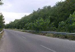
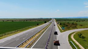
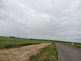
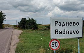
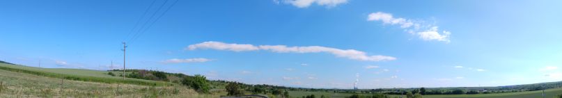
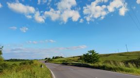
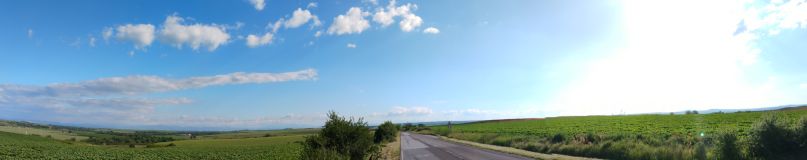
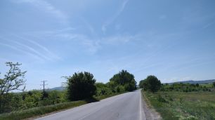
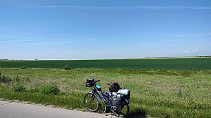
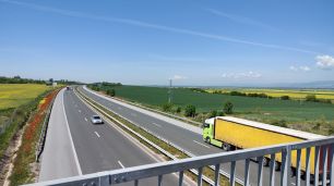
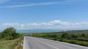
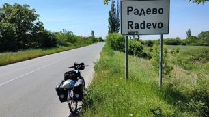
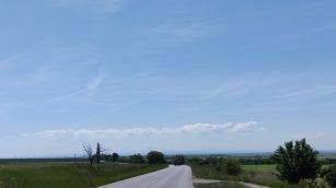
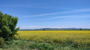
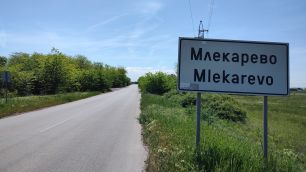
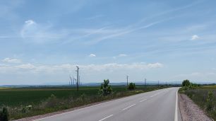
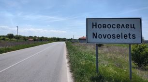
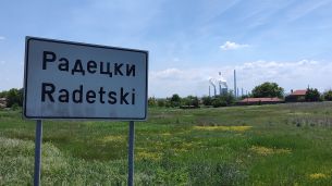
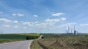
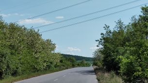
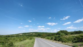
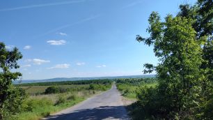
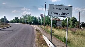
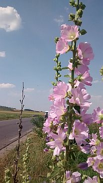
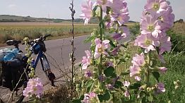
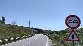
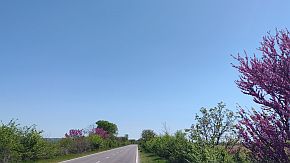
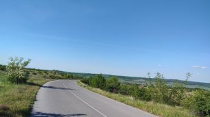
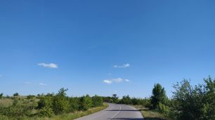
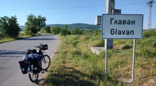
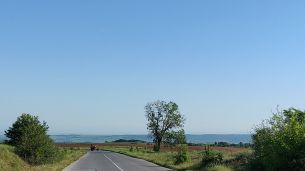
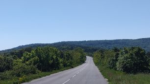
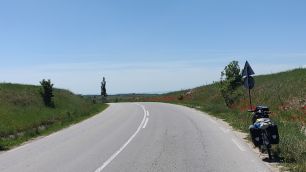
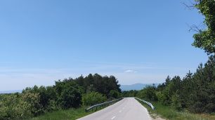
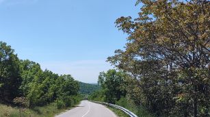
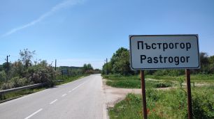
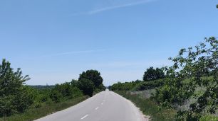
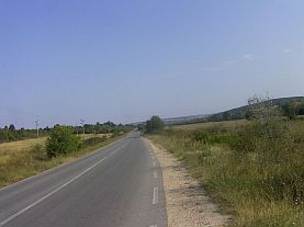
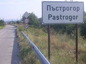
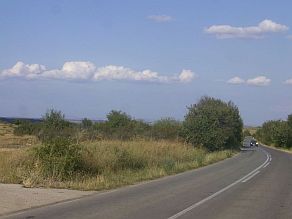
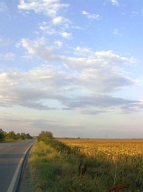
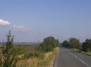
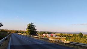
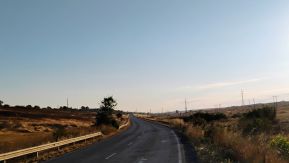
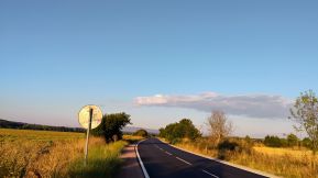
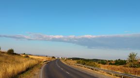
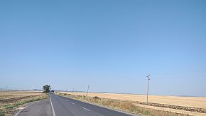
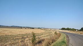
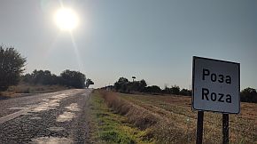
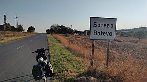
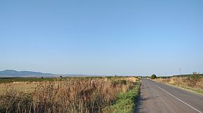
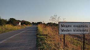
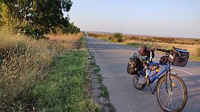
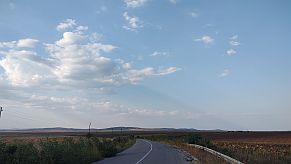
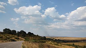
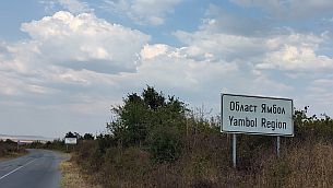
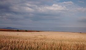
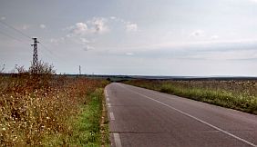
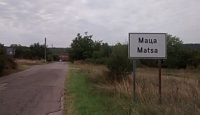
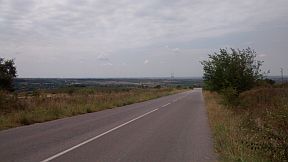
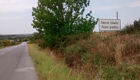
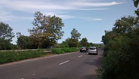
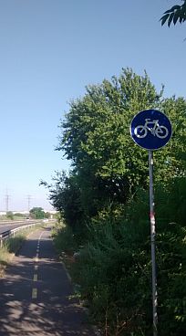
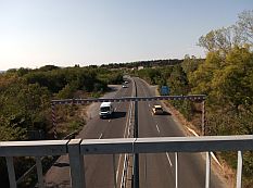
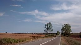
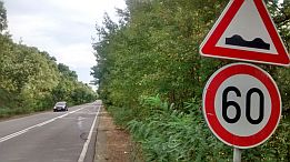
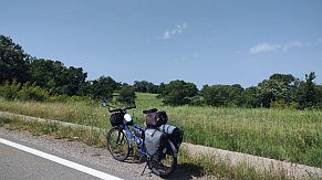
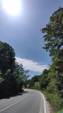
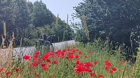
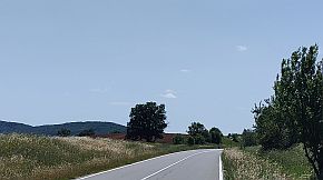
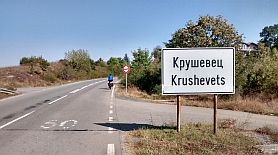
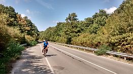
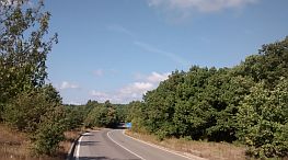
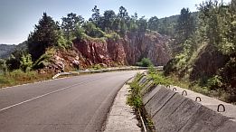
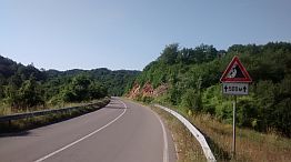
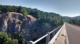
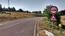
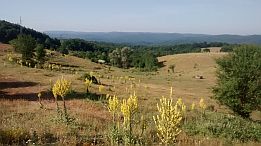
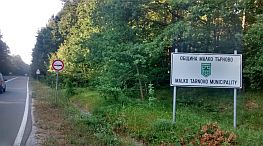
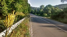
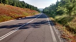
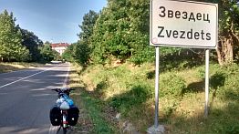
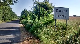
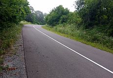
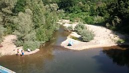
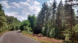
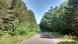
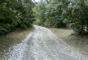
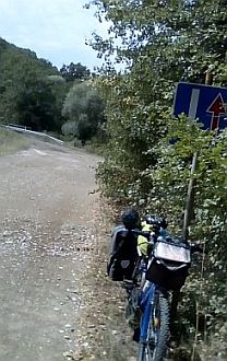
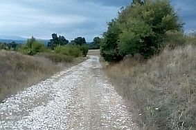
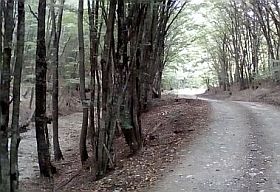
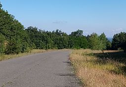
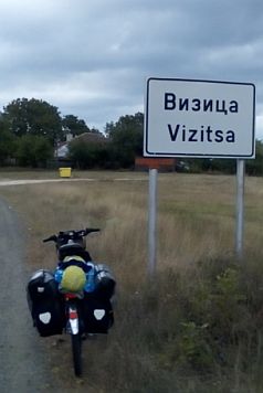
August '17 I explored just this area and I can say there was not traffic - I crossed the Border Checkpoint Kapitan Petko Voyvoda for minutes without any problems - photos below show it is an empty roads.
I am sure the same it will be in the Border Checkpoint between Greece and Turkey. |
|
|
|
|
|
|
![]()
1. From Nova Zagora to Border Checkpoint Kapitan Petko Voivoda - Ormenio (E554)
Here I will show two nice routes: 1.1 From Nova Zagora (road 554) to Dyadovo to Bogdanovo to Lyubenova Mahala to Radnevo to Beli Bryag to Obruchiste to Galabovo to Pyasachevo to Kalugerovo to Simeonovgrad to Harmanli (road 8) to Lyubimets to Border Checkpoint Kapitan Petko Voyvoda. 1. 2 From Nova Zagora (road 54) to Radevo to Mlekarovo to Novoselets to Radetski to Polski Gradets to Madrets to Glavan to Dripchevo to Pastrogor to Svilengrad to Border Checkpoint Kapitan Petko Voyvoda. Maybe the second route is the better one having in mind the traffic - route 2 definitely is without any traffic; as it can be seen later, here the hills are more - you have to climb Sakar Mountain, which in fact is not so high. I will describe both routes in parallel. |
|
![]()
Sector III. D - 1, route a (road 554) The route is: From Nova Zagora to Dyadovo to Bogdanovo to Lyubenova Mahala to Radnevo to Beli Bryag to Lyubenovo to Obruchiste to Galabovo. Starting from Nova Zagora down toward Galabovo the pedalling is pleasant and easy. There are a lot of villages along the road, food and water are available everywhere. The road is in nice conditions, it is wide enough. I can say it is not busy, although heavy trucks are available from time to time. All the area is very nice to camp in the wilderness. Overnight accommodation in Radnevo and Galabovo is available. |
![]() |
Information for Nova Zagora is available here: http://www.guide-bulgaria.com/SE/sliven/nova_zagora/nova_zagora https://en.wikipedia.org/wiki/Nova_Zagora |
||
![]() |
![]() |
![]() |
![]() |
![]() |
![]() |
Starting from Nova Zagora down toward Galabovo the pedalling is pleasant and easy. There are a lot of villages along the road, food and water are available everywhere. The road is in nice conditions, it is wide enough. |
I can say it is not busy, although heavy trucks are available from time to time. All the area is very nice to camp in the wilderness. |
![]() |
![]() |
![]() |
![]() |
![]() |
![]() |
![]() |
![]() |
![]() |
The big tire next to the road entering in Lyubenova Mahala shows that there is a little work shop, you can seal your flat tires, or ask for some tools or mechanical help if necessary. |
||
![]() |
![]() |
![]() |
![]() |
![]() |
![]() |
Overnight accommodation in Radnevo is available. A little information for Radnevo: http://www.guide-bulgaria.com/SE/stara_zagora/radnevo/radnevo |
![]() |
![]() |
![]() |
![]() |
![]() |
![]() |
Down toward Galabovo | ||
![]() |
![]() |
![]() |
![]() |
![]() |
![]() |
Overnight accommodation in Galabovo is available. Very little information for Galabovo can be seen here: |
||
![]() |
![]() |
![]() |
The area between Radnevo and Galabovo is a zone of coal mining, three big steam electricity plants are in exploitation here giving more than 40% of the electricity in the country. |
||
![]() |
![]() |
![]() |
|
![]()
Sector III. D - 1, route b (road 55)
The route is: From Nova Zagora to Radevo to Mlekarevo to Novoselets to Radetski to Polski Gradets to Madrets.
Comparing with the route a, route b is in a hilly area. Never mind that on the map road 55 is indicated as a more important road comparing with road 554, here there is not any traffic, maybe because of the hilly area the heavy trucks avoid it. So, as if this route is much better for bicyclists.
I did not pedal the route from Nova Zagora to Novoselets, my plan is to explore it summer '22. And my plan fulfilled! all the next photos were taken in the middle of beautiful May '22. |
The route after Nova Zagora starts with a not long and not steep hill after crossing of the motor road A1. |
![]() |
![]() |
![]() |
Reaching the top of the hill, very nice view is revealing down toward the second steam electricity plant. | ||
![]() |
![]() |
![]() |
![]() |
![]() |
![]() |
The steam electricity plants in the region are supplied with filters, so the area is not dusty. | ||
![]() |
![]() |
![]() |
![]() |
![]() |
![]() |
I think there are food shops in all the villages along the road, for Madrets I am sure. | ||
![]() |
![]() |
![]() |
The next photos illustrate the same area (between Polski Gradets and Madrets), taken in some of my many tours in this area - in the early September 2019 and the middle of July '17. |
||
![]() |
![]() |
![]() |
![]() |
![]() |
|
||
Sector III. D - 2, route a (road 554) The route is: From Galabovo to Pyasachevo to Kalugerovo to Simeonovgrad to Harmanli to Lyubimets to Border Checkpoint Kapitan Petko Voyvoda.
The route is easy and pleasant for touring in both directions. Food, restaurants, hotels are available in the towns along the road. |
||
Next several photos are the countryside from Galabovo toward Simeonovgrad. Food shops in Pyasachevo and Kalugerovo ate not available. |
||
![]() |
![]() |
![]() |
![]() |
![]() |
|
![]() |
![]() |
|
The next little town is Simeonovgrad, I am not sure if overnight accommodation is available in it. No much to say about it: http://www.guide-bulgaria.com/SC/haskovo/simeonovgrad/simeonovgrad |
||
![]() |
![]() |
![]() |
Although the traffic on the road 554 between Simeonovgrad and Harmanli is more intensive, I think it is not dangerous. |
Just before crossing the Motor Road A 4, near the road there is a hotel. Next photos are the countryside toward Harmanli. |
![]() |
![]() |
![]() |
![]() |
![]() |
|
![]() |
![]() |
|
![]() |
![]() |
![]() |
Harmanli It is a small town, night accommodation is available in it. Information for the town: |
||
![]() |
![]() |
![]() |
Some information for Lyubimets is available here: https://en.wikipedia.org/wiki/Lyubimets I know that the overnight accommodation in Lyubimets is possible. The distance from Lyubimets to Svilengrad I have never pedaled. If you follow the local road N8, you will |
pedal a road without any traffic. As a border town, the overnight accommodation in Svilengrad is not a problem. Some information for Svilengrad it is available here: http://www.visitbulgaria.net/en/svilengrad/svilengrad.html http://www.guide-bulgaria.com/SC/haskovo/svilengrad/svilengrad |
![]() |
![]() |
![]() |
![]() |
![]() |
![]() |
![]() |
![]() |
![]() |
As the traffic on A4 to the Border Checkpoint Kapitan Andreevo (Bulgarian/Turkish border) is always intense, it will be better to enter Greece (Border Checkpoint Kapitan Petko Voyvoda first, and after enter Turkey: |
From Lyubimets to Border Checkpoint Kapitan Petko Voivoda (E85) to Omerino (in Greece) to Kastanios to Greece/Turkey border to Karaagach to Edirne. Look back in the beginning of the Chapter ! |
|
![]()
Sector III. D - 2, route b (road 55) The route is: From Madrets to Glavan to Dripchevo to Miladinovo to Pastrogor to Svilengrad to Border Checkpoint Kapitan Petko Voyvoda.
As it can be seen from the road profile chart, here you have to climb Sakar Mountain, it starts just after Madrets. The road is not steep in both direction, I can say pedalling here is a real pleasure, over more here there is not any traffic. Food shops are available in Glavan and Pastrogor, but I do not remember, if it was available in Mladinovo and Dripchevo. |
|
![]() |
![]() |
![]() |
My camping place just on the first little pick 11 kilometers after Madrets. | ||
![]() |
![]() |
![]() |
I remember in the next morning I had a breakfast in Glavan. | ||
![]() |
![]() |
![]() |
Down toward Mladinovo, Pastrogor and Svilengrad. | ||
![]() |
![]() |
![]() |
![]() |
![]() |
![]() |
May and June are is the best months to explore this area. In June this dry area already is getting yellow. | ||
![]() |
![]() |
![]() |
![]() |
![]() |
![]() |
The next photos illustrate countryside from Svilengrad toward Dripchevo, I climbed this road one hot morning early August '17. | ||
|
|
![]() |
|
|
|
|
![]() 2. From Yambol to Border Checkpoint Lesovo (road N7).
Route a From Yambol to Elhovo to Border Checkpoint Lesovo to Edirne.
The Border Checkpoint Lesovo is a convenient place to cross from Bulgaria into Turkey, although I do not recommend it, it is better to avoid it because of the traffic includingly heavy trucks driving madly. The traffic increased considerably the last several years. The road N7 itself along Tundzha river is in very nice conditions. The area is almost flat (the photos below).
As a much better opportunity I would suggest the next route:
Route b From Yambol to Svilengrad to Border Checkpoint Kapitan Petko Voyvoda toward Greece (and Turkey as well):
Towards Greece as well as Turkey, from Yambol can be used Border Checkpoint Kapitan Petko Voyvoda (I recommend it instead the previous route, although it is longer and more climbing is available): From Yambol to Roza to Botevo to Meden Kladenets to Skalitsa to Ovche Kladenets to Matsa to Polski Gradets to Madrets to Glavan to . . . . . . Svilengrad to Border Checkpoint Kapitan Petko Voyvoda, or Border Checkpoint Kapitan Petko Voyvoda. |
Information and several pictures from Yambol: https://en.wikipedia.org/wiki/Yambol http://www.guide-bulgaria.com/SE/yambol/yambol-city/yambol |
![]() |
![]() |
![]() |
![]() |
![]() |
![]() |
![]() |
|
![]() |
The town has very nice garden in its east end next to Tundzha River. Very nice spot to relax for 3 hours in the hot summer afternoons. | ||
![]() |
![]() |
![]() |
The next several pictures are taken between Yambol and Elhovo, I have pedalled only this road segment. The traffic here is intensive, although it can not be seen from the photos. |
||
|
|
|
|
|
Very little information about Elhovo is available here: https://en.wikipedia.org/wiki/Elhovo http://www.guide-bulgaria.com/SE/yambol/elhovo/elhovo |
||
![]() |
![]() |
![]() |
![]() |
![]() |
![]() |
|
Route b: As I have mention, the traffic along road N 7 is intensive, so I do recommend Towards Greece as well as Turkey, from Yambol, to use Border Checkpoint Kapitan Petko Voyvoda (never mind it is longer and more climbing is available; it is much more safer): From Yambol to Roza to Botevo to Meden Kladenets to Skalitsa to Matsa to Polski Gradets to Madrets to |
Glavan to . . . Svilengrad to Border Checkpoint Kapitan Petko Voyvoda, or Border Checkpoint Kapitan Petko Voyvoda. Towards Greece as well as Turkey, from Yambol can be used Border Checkpoint Kapitan Petko Voyvoda. I recommend it instead the previous route, although it is longer and more climbing is available; the pedaling here is a pleasure. |
The next photos taken in the early September '19 illustrate area between Skalitsa and Madrets. The road is not in very nice conditions, but there is not any traffic here. |
||
![]() |
![]() |
![]() |
![]() |
![]() |
![]() |
![]() |
![]() |
![]() |
![]() |
![]() |
![]() |
![]() |
![]() |
![]() |
Photos illustrating the countryside from Madreth to Glavan to Svilengrad are available in the previous point. | ||
|
3. From Burgas to Border Checkpoint Malko Tarnovo
As I have mentioned previously, the Border Checkpoint Malko Tarnovo is a better place to cross Bulgaria -Turkey border rather than border checkpoint at Kapitan Andreevo, or Lesovo. The next are the routes I can recommend here: The route a (road E87): From Burgas to Marinka to Krushovets to Zvezdets to Malko Tarnovo to Border Checkpoint Malko Tarnovo. The area around Strandzha Mountain is not a very popular area with locals so it can be rather quiet and isolated. Never mind E 87 is an international road, the traffic is negligible, countryside is extreme beautiful. The route b (road N99): For bicyclists deciding to explore the seaside, a nice alternative route here is the road from Burgas to Tsarevo to Malko Tarnovo - route b on the map (road 99): From Burgas to Chernomorets to Sozopol to Primorsko to Tsarevo to Balgari to Gramatikovo to Malko Tarnovo to Border Checkpoint Malko Tarnovo. Make note: The traffic between Burgas and Primorsko in the touristy season can be very busy as can the road segment between Primorsko and Sozopol. For details look also in the Chapter IV: Bicycling along Black sea side The route c: This route is an opportunity only for experienced vagabonds: From Burgas to Primorsko to to Pismenovo to Vizitsa to Gramatikovo to Malko Tarnovo to Border Checkpoint Malko Tarnovo. The road segment from Pismenovo to Vizitsa is off road in the wood without any signs. |
Route a The route profile chart shows that hills here are not long and steep.
|
|
|
|
|
|
|
|
|
|
|
|
|
|
|
|
|
|
![]() |
![]() |
![]() |
![]() |
![]() |
![]() |
West from Burgas is placed the Lake of Burgas: https://bulgariatravel.org/en/lake-burgas/ |
||
![]() |
![]() |
![]() |
And the last big lake west from Burgas - it is Mandra Dam and reserve "Poda": http://burgaslakes.org/en/Mandra_Poda_complex-c99 http://www.bulgariatravel.org/article/details/177 |
![]()
Leaving / Entering in Burgas As the traffic from Burgas toward Sozopol and Primorsko during the tourist season (10th of July to 5-6th of September) is crazy, I would say, it is even more than crazy. My suggestion is to avoid it. There are several very dangerous road segments, the pedaling here is not a pleasure even it is extremely dangerous, so, if you follow my description you will be able to avoid this unpleasant road segments.
IMPORTANT ! Have in mind that leaving Burgas to point A, next to road 99 there is a bicycle lane (the red dashed line from the side I point). GOOGLE MAP DOES NOT SHOW this lane !!!
Do not hesitate to pedal along this lane. If you enter in Burgas, you will find it at Point A just after an old iron bridge at the point A in the left map. If you leave Burgas, it is the lane along the seaside next to the sea garden toward Burgas Line Station and so on. You will be not wrong following it.
The next first three photos (taken June still out of the intensive tourist seazon) are the motor road when leave Burgas (to point B); |
||
![]() |
![]() |
![]() |
Next several photos are from Burgas Sea Garden toward Point A . | ||
![]() |
![]() |
![]() |
![]() |
![]() |
|
![]() |
![]() |
![]() Now I will increase a little the scale. (the map in left) No way to avoid the motor road between point A and point B. If you are pedalling from Burgas to Sozopol along the velo lane, just agter the old iron bridge my advise is to walk 450 meters against the traffic to the complicated overhead crossing, where try to find the local road (the old road) toward Sozopol. If you are leaving Burgas & pedaling along the motor road, you have to orientate when are on the overhead crossing - the red dashed line on the next scheme. The next several photos are just there. |
||
![]() |
![]() |
![]() |
The short walk between points A and B is not dangerous, there is enough place, as it can be seen in the second photo below. Toward Malko Tarnovo Border Checkpoint follow the road toward Marinka and Malko Tarnovo. |
||
![]() |
![]() |
![]() |
![]() |
![]() |
|
Most of this area is Strahdzha Nature Park. It is the largest protected area on the territory of Bulgaria that stretches over 1161 sq km. It was declared a protected area by virtue of Ordinance No. RD350 of 14 July 2000. It is located in the southeastern part of country, its southern |
border coincides with the Bulgarian sovereign border with Turkey, and it spreads as far as the Black Sea Coast to the east. The Nature Park lies on the territory of Strandzha Mountain which spreads in both Bulgaria and Turkey. More information for it can be seen here: |
https://bulgariatravel.org/strandzha-nature-park/ | ||
![]() |
![]() |
![]() |
![]() |
![]() |
![]() |
![]() |
![]() |
![]() |
![]() |
![]() |
![]() |
The last photo above is a typical view from Ztrandzha Mountain. The next several photos are the countryside towards Zvezdets. Food can be find out in Zvezdets, Krushevets and Marinka. |
||
![]() |
![]() |
![]() |
![]() |
![]() |
![]() |
Information for Malko Tarnovo:
https://en.wikipedia.org/wiki/Malko_Tarnovo http://www.visitbulgaria.net/en/malko_tarnovo/malko_tarnovo.html |
Information for Malko Tarnovo, Strandzha Mountain, saved zones, accommodation: http://www.strandja.bg/en/info/57-Malko-Tarnovo-en |
![]() |
![]() |
![]() |
![]() |
![]() |
|
![]() |
![]() |
|
|
|
Route b
I will not write about this route from Burgas to Tsarevo here, a very detail description for it can be seen in the details in: Chapter IV. Bicycling along Black sea side
Please, only have in mind that the traffic between Burgas and Sozopol in the touristy season can be very busy.
The route b is: From Birgas to Tzarevo to Izgrev to Balgari to Kondolovo to Gramatikovo to Malko Tarmovo to Border Checkpoint Malko Tarnovo.
Again here you will pedal in a very nice countryside, here you will not see many cars. |
![]() |
Toward Izgrev and Tsarevo toward Izgrev and Kondolovo. | ||
![]() |
![]() |
![]() |
![]() |
![]() |
![]() |
The next little village is Kondolovo. (unfortunately I did not pointed it on the map above) Entering in it, near the road you will see a little restaurant called "The last bullet" , which owner is the local major. He is |
very friendly man; Next to it is his home, a little chapel, spring of fresh water and a meadow, where you can set up your tent. He told me, that bicyclists are camping regularly at this nice spot. Soon there will be a shower too. |
![]() |
![]() |
![]() |
![]() |
![]() |
![]() |
Gramatikovo is a kilometer right from the road. Food and overnight accommodation is available in it. |
Information for Gramatikovo: http://www.guide-bulgaria.com/SE/bourgas/malko_turnovo/gramatikovo |
![]() |
![]() |
![]() |
![]() |
![]() |
![]() |
![]() |
![]() |
![]() |
|
|
Route c
As I have already said, this route is an opportunity only for experienced vagabonds:
From Burgas to Primorsko to to Pismenovo to Vizitsa to Gramatikovo to Malko Tarnovo to Border Checkpoint Malko Tarnovo.
The road segment from Pismenovo to Vizitsa is off road in the wood without any signs. |
![]() |
||
![]() |
![]() |
![]() |
![]() |
![]() |
![]() |
![]() |
![]() |
|
Do not hope to find food in Vizitsa - it is almost a leaved village, but there is spring of water in it. | ||
![]() |
![]() |
![]() |
![]() |
![]() |