|
|
|
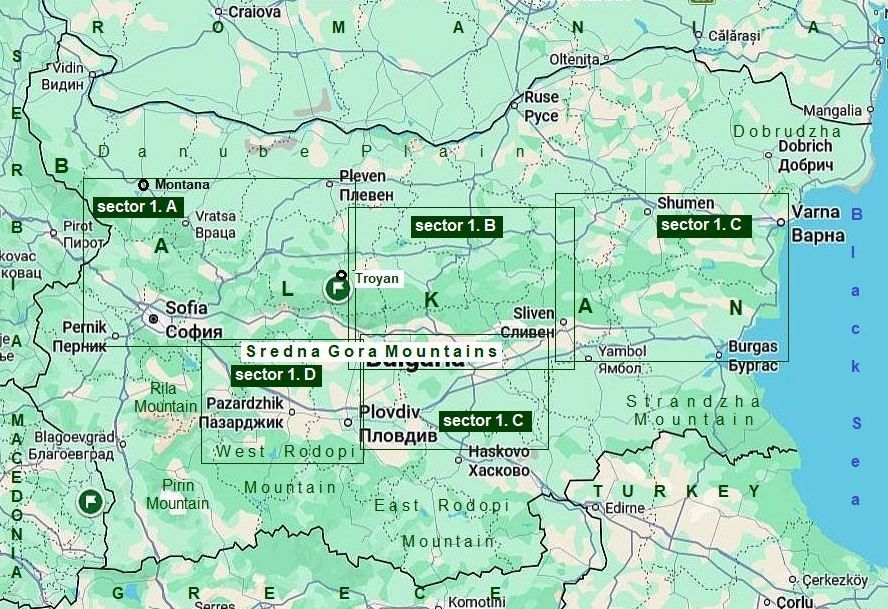
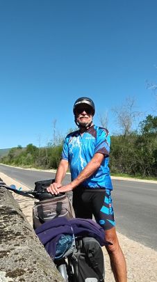
I. BALKAN PASSES Sector I. E |
|
|
|
Sector I. E |
||
|
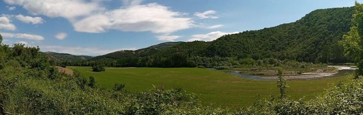
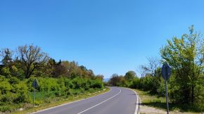
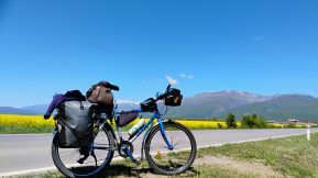
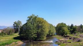
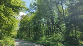
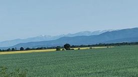
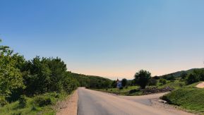
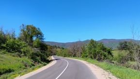
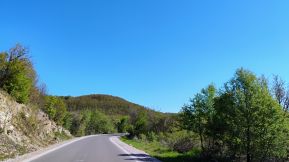
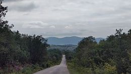
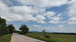
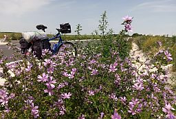
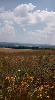
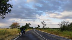
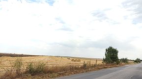
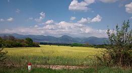
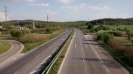
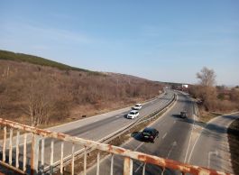
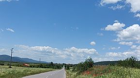
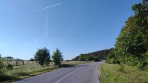
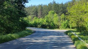
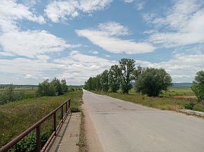
Sredna Gora Mountain is the one parallel to Balkans. It is not so high and not so long, here I will show appropriate roads to cross it on bicyclists planning to cross the country in the direction north - south, or back |
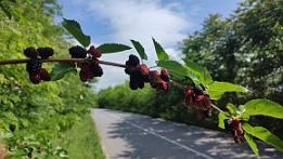
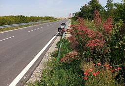
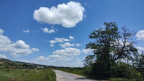
it will be useful. Information concerning the mountain is here: https://en.wikipedia.org/wiki/Sredna_Gora The next photo is a typical view of Sredna Gora Mountain. |
|
|
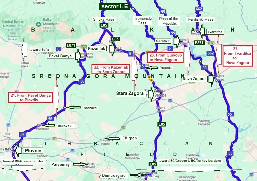
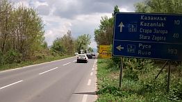
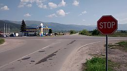
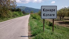
The routes in the sector I. E are as follows: 21. From Kazanlak to Pavel Banya to Plovdiv (it will be expanded to Parvomay and Dimitrovfrad); 22. From Kazanlak to Stara Zagora (it will be expanded to Parvomay and Dimitrovfrad); 23. From Gurkovo to Nova Zagora; 24. From Tvarditsa to Nova Zagora.
|
||
|
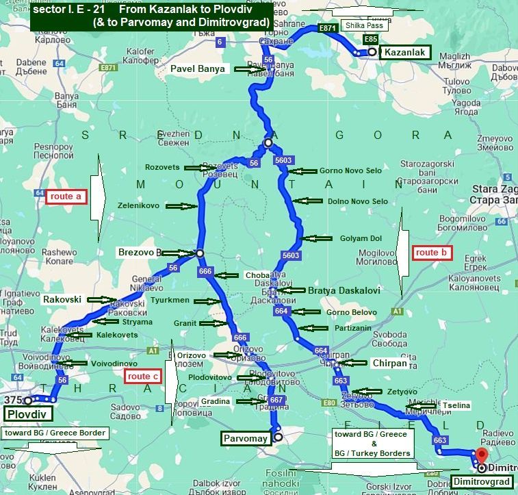
21. From Kazanlak to Pavel Banya to Plovdiv (& to Parvomay and Dimitrovgrad) Sector I. E - 21 Next I put a little more expanded map showing routes: |
||
|
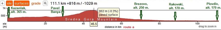
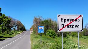
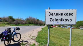
Route a From Kazanlak to Pavel Banya to Rozovets to Zelenikovo to Brezovo to Rakovski to Kalekovets to Voyvodino to Plovdiv (toward BG/Greece Border). |
|
Route b From Kazanlak to Pavel Banya to Gorno Novo selo to Dolno Novo Selo to Golyam Dol to Bratya Daskalovi to Gorno Belovo to Partizanin to Chirpan (toward BG/Greece &Turkey borders). |
|
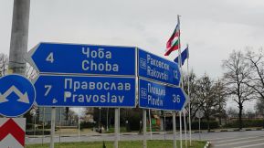
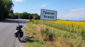
Route c From Kazanlak to Pavel Banya to Rozovets to Zelenikovo to Brezovo to Choba to Tyurkmen to Granit to Orizovo to Plodovitovo to Gradina to Parvomay (toward BG/Greece &Turkey borders). |
||
|
|
||
|
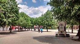
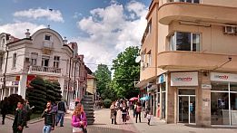
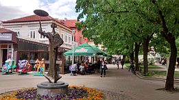
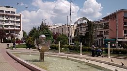
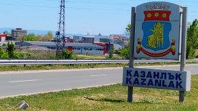
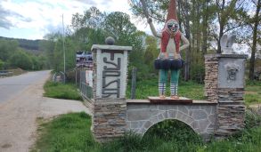
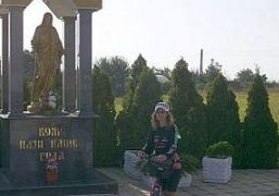
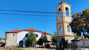
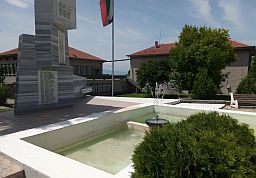
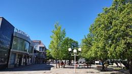
Kazanlak is a middle size town for us; in the fields near Kazanlak there are rose plantations - it is known as the "Rose's field", in the end of May when roses are flowering the fields are amazing. Unfortunately I have |
never visit this area in the period rouses are flowering. Information about Kazanlak can be seen here: |
 |
 |
 |
 |
 |
 |
|
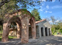
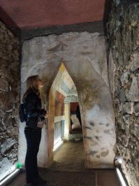
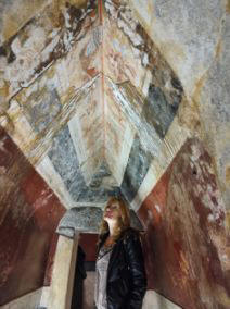
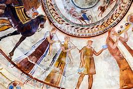
There is an interesting Thracian tomb near Kazanlak, unique frescos can be seen in it, I think it is under UNESCO protection.
|
It is not possible to visit it, but just next to it there is a replica of it. Several times I have mention Thracian in my Home Page, they were the ancient population living in the east part of Balkans, most of all they loved the war, wine and women. |
 |
 |
 |
 |
|
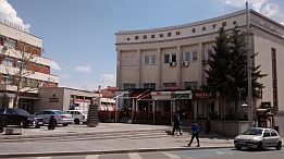
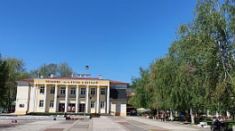
It is interesting to visit and see Rose Museum: |
and the Historic Museum as well: https://bulgariatravel.org/en/historical-museum-of-kazanlak/ |
|
Route a From Kazanlak to Pavel Banya to Rakovski to Plovdiv |
||
|
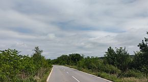
The route includes crossing of Sredna Gora Mountain (placed between Brezovo and Pavel Banya), It is a very nice area for pedaling. You may experience a heavier traffic between Plovdiv and Rakovski (I do not |
think it is dangerous). This route is nice for bicyclists coming from Shipka Pass and intending to cross BG/Greece border at Border Checkpoint Zlatograd (or Makaza). |
|
|
The road 871 from Kazanlak to the crossroad toward Pavel Banya is with more intensive traffic, I think it is not dangerous. |
||
 |
 |
 |
|
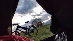
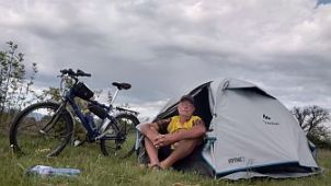
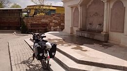
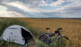
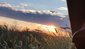
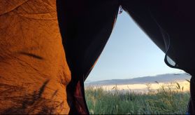
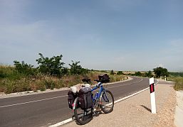
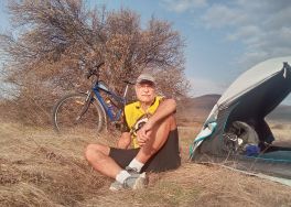
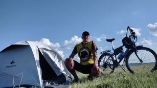
My camp place several kilometers to Kazanlak, early May '22 . . . I can not forget it, it seems I set up my tent next to a fox lair . . . I felt it all the night. |
||
|
|
 |
 |
 |
 |
 |
 |
 |
 |
|
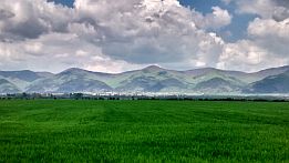
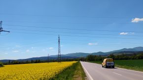
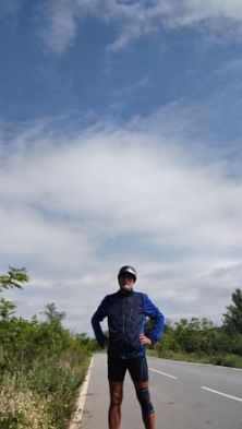
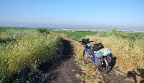
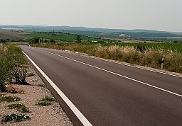
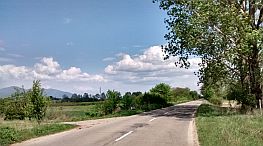
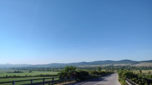
From E871 toward Pavel Banya in the sunny April '25. Photos can not impress the great view toward Balkan Mountains. |
||
 |
 |
 |
 |
 |
 |
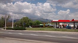
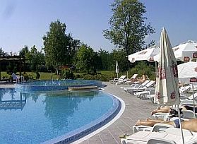
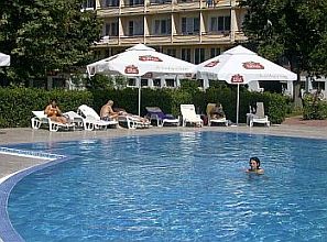
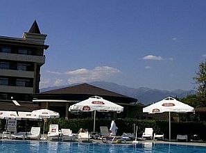
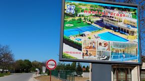
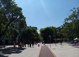
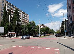
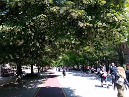
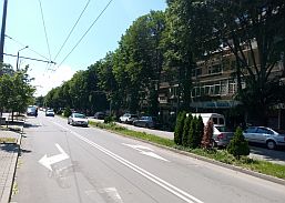
| Pavel Banya is a nice spa resort. There are a lot of nice spots - hotels and swimming pools - nice to relax after a hard bike day. links for Pavel Banya and photos below: |
https://www.visitbulgaria.net/en/pavel http://www.guide-bulgaria.com/SE/stara_zagora/pavel_banya/pavel_banya |
.jpg) |
.jpg) |
.jpg) |
.jpg) |
.jpg) |
.jpg) |
 |
 |
 |
|
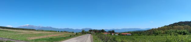
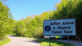
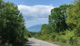
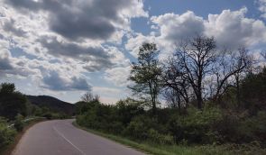
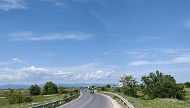
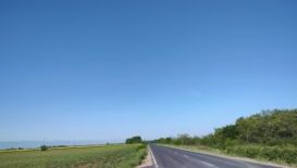
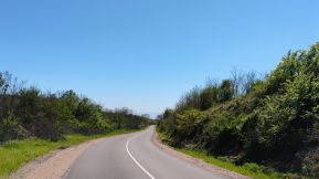
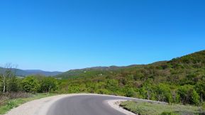
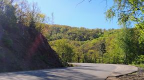
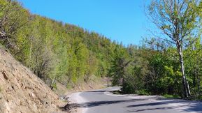
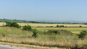
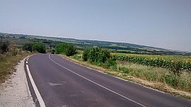
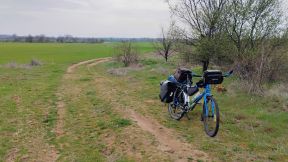
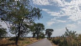
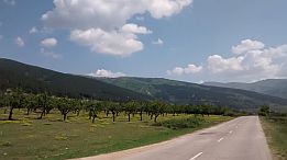
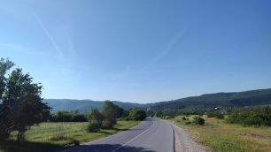
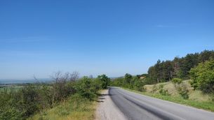
After Pavel Banya starts climbing of Sredna Gora Mountain. The hill is long almost 15 kilometers, which is relatively a lot of climbing; altitude gain more than 400 m for this distance. |
||
 |
||
 |
 |
 |
|
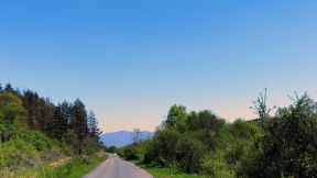
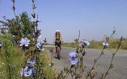
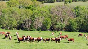
The climbing after Turiya is a little harder. The goats in the left photo are just after Turiya. Although there is one spring of fresh water up the mountain, it would be nice to bring food and water with you. |
||
 |
 |
 |
 |
 |
|
 |
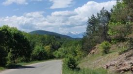 |
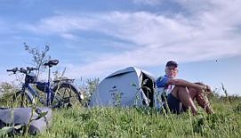
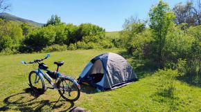
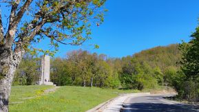
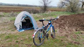
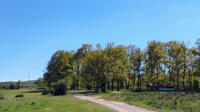
| A nice place for camping is on the top of the pass - the last photo, I took many years ago exploring this area together with my daughter. | Ones reaching the Divide, it follows many kilometres easy and pleasant for pedalling road toward Plovdiv. |
 |
 |
 |
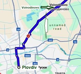
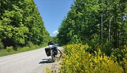
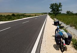
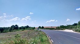
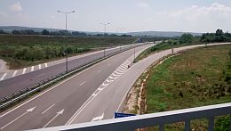
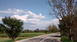
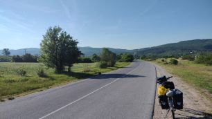
The next photos illustrate the route starting from Plovdiv. Starting from Plovdiv toward Rakovski and Brezovo, of first you have to head toward Voyvodinovo, GPS here would be useful (look again sector I. E - 21). As I have mentioned, the traffic from Plovdiv toward Rakovski ismore intensive, I think pedalling here is not dangerous. |
 |
 |
 |
 |
 |
 |
|
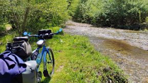
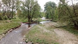
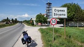
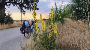
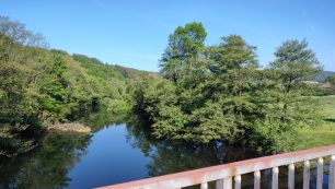
Before entering in Stryama village, the road crosses Stryama River - a very nice spot to camp in. |
The river water is clean, I do not miss to camp there every time I pass by this place. |
 |
 |
 |
|
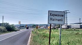
The countryside & link for Rakovski: |
It is one of no many places where Bulgarian catholic are living. |
 |
 |
 |
 |
 |
 |
|
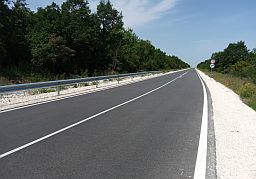
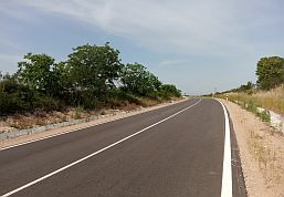
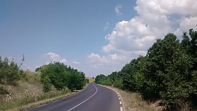
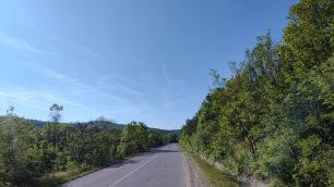
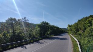
Once leaving Rakovski the traffic disappears. The road is after reconstruction, it is a pleasure to pedal here. |
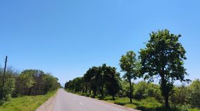
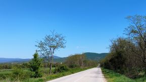
It is still the Thracian field. The photos illustrate the countryside toward Brezovo. |
 |
 |
 |
 |
 |
 |
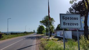
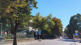
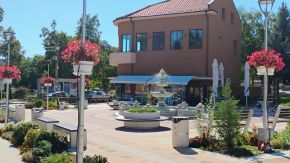
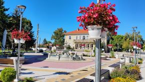
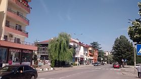
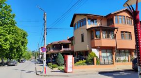
| Brezovo is little town, The last time I visited it I remember very nice restaurant in it, what about overnight accommodation, I am not sure it is available. |
Very little information about Brezovo: |
 |
 |
 |
 |
 |
 |
|
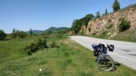
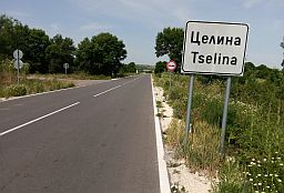
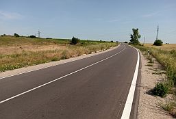
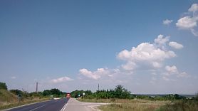
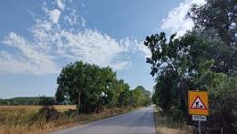
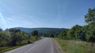
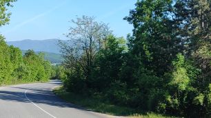
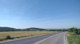
After Brezovo starts climbing of Sredna Gora Mountain. The hill is long almost 25 kilometers, which is relatively a lot of climbing; altitude gain more than 650 m. for this distance. |
 |
 |
 |
 |
 |
 |
| The climbing after Rozovets is a little harder. In the villages along the road food shops are available. | ||
 |
 |
 |
 |
 |
|
 |
 |
|
 |
 |
 |
|
Higher in the mountain a spring of fresh water is available, the place is a nice camp place. Soon the climbing is finishing. |
||
 |
 |
 |
|
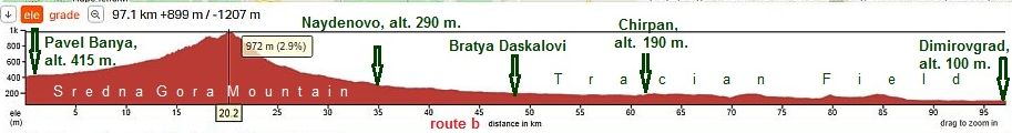
Route b From Pavel Banya to Chirpan to Dimitrovgrad |
||
| This route is nice for bicyclists coming from Shipka Pass and intending to cross BG/Greece border at Border Checkpoint Kapitan Petko Voyvoda, or BG/Turkey border at Border Checkpoint Kapitan Andreevo. | I did not pedaled this route from the crossroad of roads 56 & 5603 to Bratya Daskalovi, the road profile chart shows there is an additional climbing, comparing with the previous route. | |
|
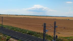
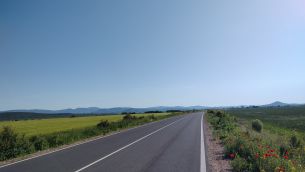
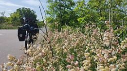
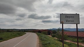
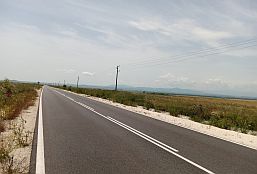
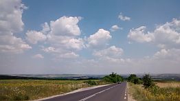
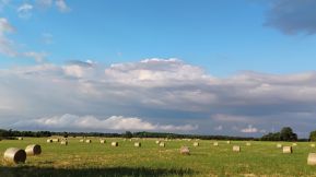
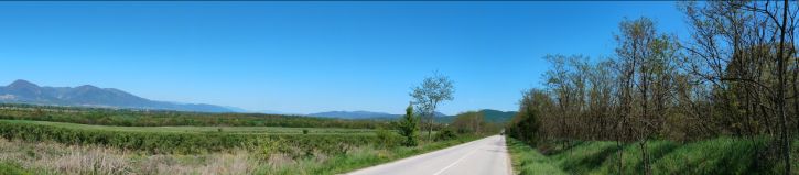
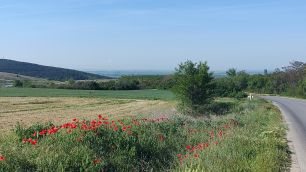
The several next photos illustrate the beautiful plain countryside from Veren to Chirpan. |
||
 |
 |
 |
 |
 |
|
 |
 |
|
 |
 |
 |
|
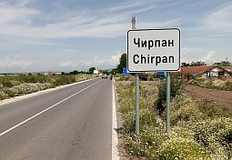
Chirpan is s small town, information for it and several photos. http://www.guide-bulgaria.com/SE/stara_zagora/chirpan/chirpan |
||
 |
 |
 |
|
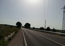
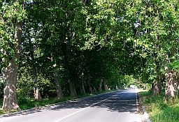
Down to Dimitrovfrad it follows a beautiful road with minimal traffic. |
||
 |
 |
 |
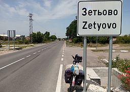
| Next to Zetyovo, early June '22 | ||
 |
 |
 |
 |
 |
 |
| Zetyovo is a bigger village along the road, food shops are available in it. | ||
 |
 |
 |
 |
 |
 |
 |
 |
 |
 |
 |
 |
 |
 |
 |
|
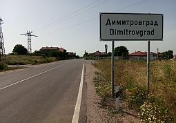
An information for Dimitrovgrad: http://www.visitbulgaria.net/en/dimitrovgrad/dimitrovgrad.html |
||
 |
 |
 |
 |
 |
 |
 |
 |
 |
|
Information concerning the routes toward BG/Greece & BG/Turkey borders south from Dimitrovgrad can be seen in: Chapter III. Crossing Bulgaria from north to south (from Romania to Turkey & Greece): |
|
Route c From Pavel Banya to Brezovo to Parvomay
Photos from this beautiful countryside. |
 |
 |
 |
 |
 |
 |
| In villages along the road food shops are available | ||
 |
 |
 |
|
|
|
|
|
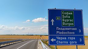
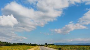
The next several photos illustrate the countryside Thracian Field from Plodovitovo toward Parvomay (there is a new bridge over Maritsa River just next to Parvomay) |
||
 |
 |
 |
 |
 |
 |
 |
Parvomay is little town appropriate to have a coffee relax in the hot summer days Information for it: http://www.guide-bulgaria.com/SC/plovdiv/parvomay/parvomay Information concerning the routes toward BG/Greece & BG/Turkey borders south from Dimitrovgrad can be seen in: Chapter III. Crossing Bulgaria from north to south (from Romania to Turkey & Greece): Chapter VI. Crossing Bulgaria from west to east. Routes: |
|
 |
 |
 |
|
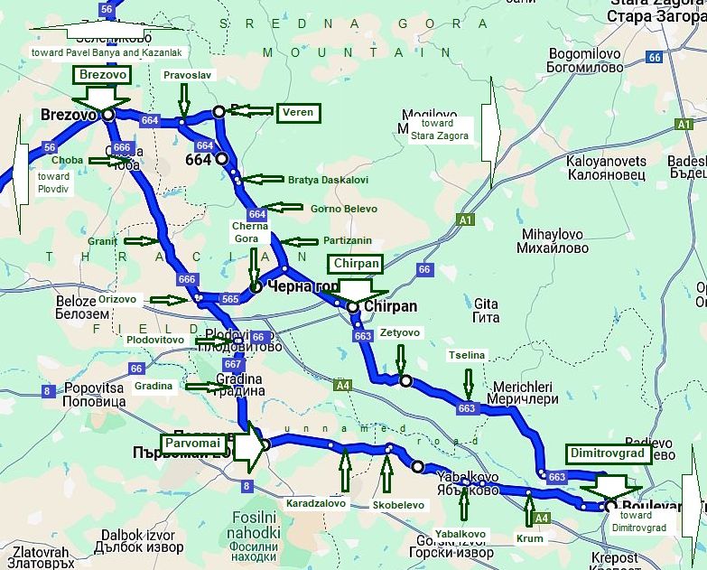
On the map below are shown all the opportunities for routes from Brezovo to Dimitrovgrad: - From Brezovo to Orizovo to Parvomai to Dimitrovfrad; - From Brezovo to Orizovo to Cherna gora to Chirpan to Dimitrovfrad; |
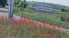
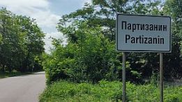
- From Brezovo to Veren to Chirpan to Dimitrovfrad; - From Brezovo to Bratya Daskalovi to Chirpan to Dimitrovfrad; All the routes ate very pleasant for pedaling in the two direction, No matter which one you would choose, yoy will be not wrong. |
|
The area is easy for pedaling as it can be seen from the road profile chart.
The photos illustrate the countryside From Brezovo to Pravoslav to Veren to Bratya Daskalovi to Gorno Belevo to Partizani to Chirpan |
||
|
|
|
|
|
|
|
|
|
|
|
|
|
|
|
|
|
|
|
|
|
|
|
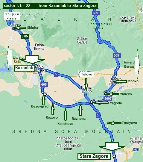
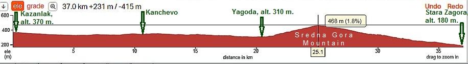
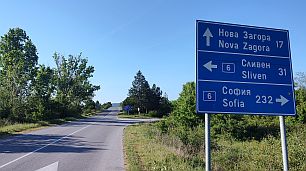
22. From Kazanlak to Stara Zagora
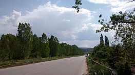
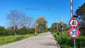
This Map segment is intended to shows routes for bicyclist crossing Balkan via Shipka Pass and Trevnenski Pass toward/from Stara Zagora The road from Kazanlak to Stara Zagora (road N5) can have a lot of traffic, but is wide enough (2 strips in each direction) if you choose to pedal it. Usually I avoid this road. I do not even have not photos of this area.
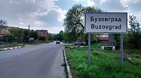
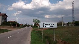
To avoid it to some extent, use the route: From Kazanlak to Buzovgrad (road 608) to Rozovo to Kanchevo to Razhena to Yagoda to Zmeyovo (road 5) to Stara Zagora.
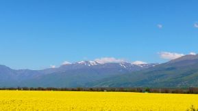
In the fields near Kazanlak there are rose plantations - it is known as the "Rose's field", in the end of May when roses are flowering the fields are amazing. Unfortunately I have never visit this area in the period rouses are flowering.
In the previous item I have given more information about Kazanlak, I will not repeat it here. |
|
|
|
|
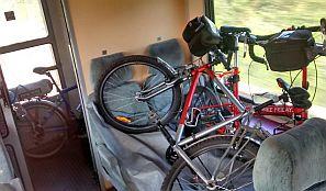
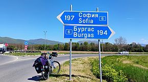
Have in mind that Tulovo and Dabovo (pointed on the map above) are railway cross points where all the trains stop, you can use train in direction from Sofia to Burgas (west - east), or from Gorna Oryahovitsa to Stara Zagora (north - south). Left - our camp place next to Tulovo, right - our bikes are in the train toward Burgas. |
|
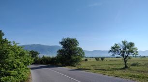
| The next photos illustrate the countryside from Kazanlak toward Buzovgrad to Kanchevo to Yagoda. Food shops are available in all the villages along the road. | ||
 |
 |
 |
 |
 |
 |
 |
 |
 |
 |
||
 |
 |
 |
 |
 |
 |
|
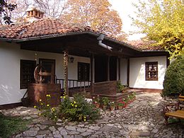
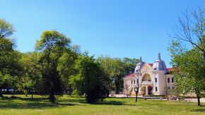
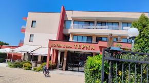
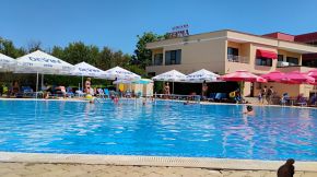
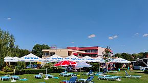
Yagoda is a bigger settlement here, it is developing quickly as a nice SPA resort. Overnight accommodation is possible in it. Information about Yagoda: |
||
 |
 |
 |
|
Entering in it you will see a post of SPA Hotel Terma - a perfect place to relax hear a swimming pool of thermal water for an afternoon. |
||
 |
 |
 |
| The road from Yagoda to Stara Zagora is busy, but it is wide enough and although the pedalling here is not | dangerous, I do not recommend this route. . My camp next to Zmeyovo, March '22. |
 |
 |
 |
|
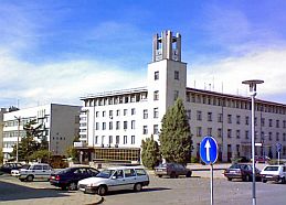
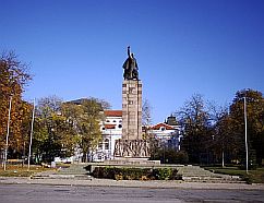
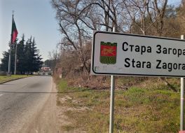
Information about Stara Zagora: https://bulgariatravel.org/en/stara-zagora/ https://en.wikipedia.org/wiki/Stara_Zagora |
||
 |
 |
 |
 |
 |
 |
|
Information concerning the routes toward BG/Greece & BG/Turkey borders south from Dimitrovgrad can be seen in: |
Chapter III. Crossing Bulgaria from north to south (from Romania to Turkey & Greece): |
|
|
||
|
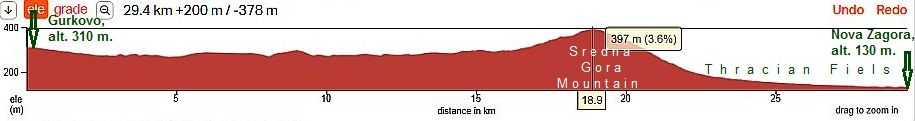
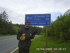
Sector I. E 23. From Gurkovo to Nova Zagora Road N55
This is an easy area for bicycling, unfortunately the traffic here can be a challenge because it is a segment of international road from Turkey to North Europe. There a lot of heavy trucks, very often heavy accidents take place along this road. My suggestion is to avoid this route, the next three photos illustrate it. The last time I pedaled it was the middle of May 2008, I do not believe I will do it again some day.
Here can be seen very little information for Gurkovo: http://www.guide-bulgaria.com/SE/stara_zagora/gurkovo/gurkovo |
||
|
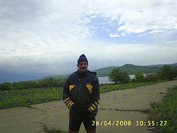
The next three photos are near Zhrebchevo Dam |
||
 |
 |
 |
|
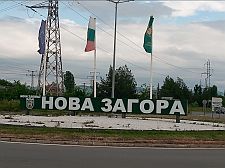
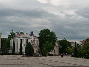
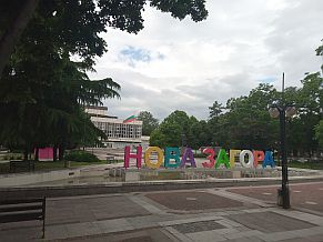
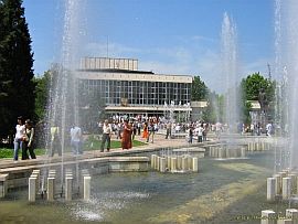
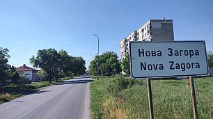
Information for Nova Zagora is available here: http://www.guide-bulgaria.com/SE/sliven/nova_zagora/nova_zagora |
||
 |
 |
 |
 |
 |
 |
|
Information concerning the routes toward BG/Greece & BG/Turkey borders south from Nova Zagora can be seen in: Chapter III. Crossing Bulgaria from north to south (from Romania to Turkey & Greece) |
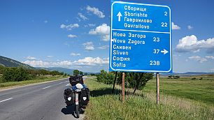
If you are in Gurkovo and intend to pedal to south, maybe it would be better to head toward Tvarditsa and follow instruction in the next item.
The next several photos are the road from Gurkovo to Tvarditsa (road 5007). |
 |
 |
 |
 |
 |
 |
|
|
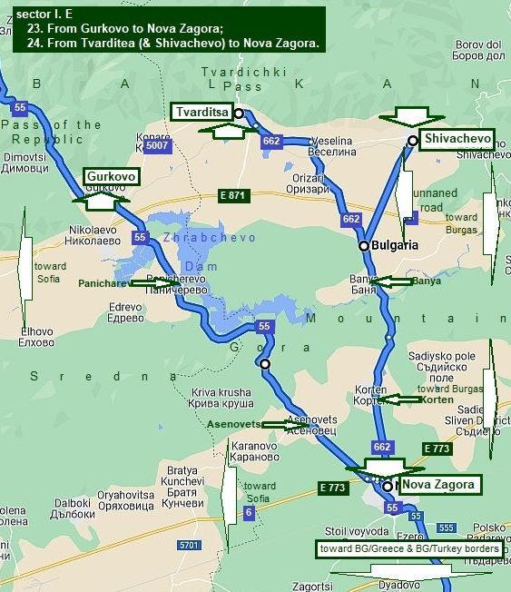
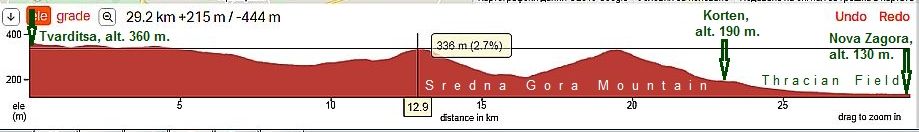
24. From Tvarditsa to Nova Zagora road N662
Comparing with the route in the previous item, situation here is much much better. There is not any traffic and I do recommend this route. The area is very scenic, and there is not any traffic along this road.
The route from Tvarditsa to Nova Zagora is easy for pedaling. A longer hill is after crossing the Valley of Tundzha River after Banya.
In the back direction the climbing north from Nova Zagora is a little bit longer, but it is still not hard.
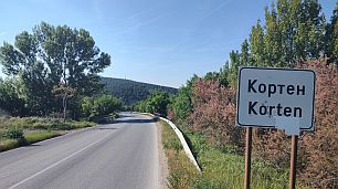
Food shop is available in Korten. A nice local type brandy is producing here. |
||
|
|
||
|
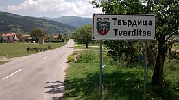
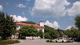
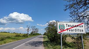
Overnight accommodation is available in Tvarditsa - you will see labels attached on the poles near the road for guests houses. I can not find any English language information for this little town. |
Information for Tvarditsa is available here:
http://www.guide-bulgaria.com/SE/sliven/tvarditsa/tvarditsa http://www.bestbgproperties.com/bulgarian_districts/Tvarditsa.html |
|
 |
 |
 |
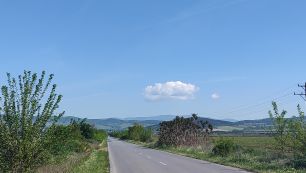
| The next several photos illustrate the countryside from Tvarditsa toward Nova Zagora. Here you will cross the valley of Tundzha River, after there is a little climbing | of the east low part of Sredna Gora Mountain, after, you will descend toward Nova Zagora and Thracian Field. |
 |
 |
 |
 |
 |
 |
| Down toward Tundzha River. | ||
 |
 |
 |
 |
 |
 |
| Three kilometers hill to the mountain divide. | ||
 |
 |
 |
| Reaching the mountain divide, an exciting view is revealing in the both directions: to Balkan (north) and to Thracian Field (south) | ||
 |
 |
 |
 |
 |
 |
|
In the previous item is the information about Nova Zagora, I will not repeat it here again. Information concerning the routes toward BG/Greece & BG/Turkey borders south from Nova Zagora can be seen in: |
Chapter III. Crossing Bulgaria from north to south (from Romania to Turkey & Greece):
|
|
|
||
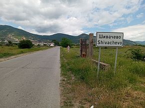
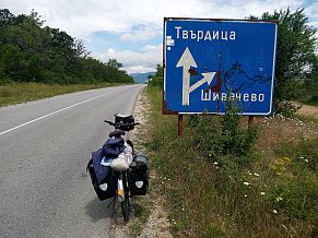
| To complete this sector, here are several photos from Shivachevo toward crossroad of the unnamed road with road N662. |
Several words for Shivachevo:
http://www.guide-bulgaria.com/SE/sliven/tvarditsa/shivachevo |
|
 |
 |
 |
 |
 |
 |
|
|
||
|
|
||